The best road cycling routes around Coolkeeragh
4.4
(22)
1,034
riders
95
rides
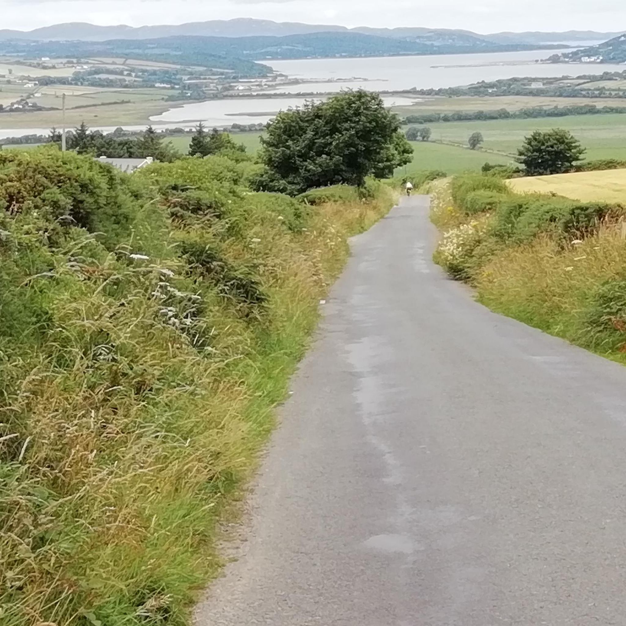
Road cycling around Coolkeeragh offers routes that integrate with the scenic River Foyle and the Foyle Valley Cycle Route. The terrain features a mix of traffic-free paths and quiet country roads, providing varied cycling experiences. Cyclists can expect gentle inclines and descents, transitioning from urban settings to more tranquil rural surroundings. The area is characterized by its riverside views and connections to regional attractions like the Peace Bridge.
Best road cycling routes around Coolkeeragh
- The most popular road cycling route…
Last updated: June 28, 2026
5.0
(1)
39
riders
57.9km
02:28
440m
440m
Moderate road ride. Good fitness required. Mostly well-paved surfaces and easy to ride.
5.0
(3)
29
riders
26.2km
01:13
150m
150m
Easy road ride. Great for any fitness level. Mostly well-paved surfaces and easy to ride.

Sign up for free
29
riders
58.0km
02:28
370m
370m
Moderate road ride. Good fitness required. Mostly well-paved surfaces and easy to ride.
22
riders
74.2km
03:17
540m
540m
Moderate road ride. Good fitness required. Mostly well-paved surfaces and easy to ride.
17
riders
48.4km
02:02
260m
260m
Moderate road ride. Good fitness required. Mostly well-paved surfaces and easy to ride.
Get access to more routes and recommendations from other explorers.
Sign up for free
Already have an account?
Our route recommendations are based on thousands of hikes, rides, and runs completed by other people on komoot.
Start today with a free account
Your next adventure awaits.
Login or Signup
Popular around Coolkeeragh

Tips from the Community

The city wall can be walked all the way around the city and offers interesting views. You can see the churches, down to the Bogside, the main street with the bunkered court, and the beautiful Guildhall. You can also see the curbs of the different districts, which are colored according to their affiliation. While the scenery seemed a bit threatening on our first visit in the 1990s, this seems to have given way to a peaceful openness, the architectural expression of which has become the beautiful, curved, connecting Peace Bridge.
0
0

Built during the Great Famine of the mid-19th century, it bears witness to the great devotion of the Catholic population of Derry. Impressive church that dominates the Bogside district.
0
0
From Belfast International Airport, Derry is reached after a change in Antrim (15 min by bus) and 90 min by train. Right on the river, on the Waterside but close to a bridge that takes you to the other side, close to the center.
0
0

It's worth taking a walk here, a relaxing evening stroll along the city wall!
1
0
Here you have a wonderful view of the Foyle
0
0
In Bigside, a district of Derry that can be seen from the high city walls, the memory of Bloody Sunday is still very much alive. At the foot of the city walls you will find the low gabled structure that can be seen in the background of the historical photos.
1
0
In Derry, the memory of Bloody Sunday is still very present, especially in the Bogside district, the scene of the attack.
1
0
The picturesque old town of Derry is completely surrounded by a historic city wall, which served a purpose until the recent past. You can walk around the city on it and have a good view of the Bogside. You can also observe the differently painted pavement edges of the two camps as you walk around. It is to be hoped that in the future this will be just folklore in a hopefully more united society.
1
0
Frequently Asked Questions
How many road cycling routes are available around Coolkeeragh?
The Coolkeeragh area offers a wide selection of road cycling routes, with over 100 options available. These routes cater to various skill levels, including easy, moderate, and difficult paths, ensuring there's something for every cyclist.
What kind of terrain and elevation can I expect on road cycling routes in Coolkeeragh?
Road cycling around Coolkeeragh features a mix of traffic-free paths and quiet country roads, often following the River Foyle. You'll encounter gentle inclines and descents, transitioning from urban settings to more tranquil rural surroundings. The terrain provides varied cycling experiences, from flat riverside sections to more elevated areas as routes extend towards County Donegal.
Are there any easy road cycling routes suitable for beginners in Coolkeeragh?
Yes, Coolkeeragh offers several easy road cycling routes perfect for beginners or those seeking a relaxed ride. One popular option is the Green Island loop from Maydown, an 11.2-mile (18.0 km) trail that can be completed in under an hour.
What are some notable landmarks or viewpoints I can see while road cycling near Coolkeeragh?
Many routes in the area offer views of significant landmarks. The iconic Peace Bridge (Derry/Londonderry) is a prominent feature on several routes, connecting different parts of the city. You might also pass by historical sites like the Guildhall Derry–Londonderry or the Bloody Sunday Murals, Bogside, offering a blend of scenic beauty and cultural interest.
Are there any circular road cycling routes around Coolkeeragh?
Yes, many road cycling routes in Coolkeeragh are designed as loops, allowing you to start and end at the same point. For example, the Peace Bridge – Bloody Sunday Murals, Bogside loop from Strathfoyle is a moderate 35.7-mile (57.4 km) circular route that includes riverside views and urban landmarks.
What do other road cyclists say about the routes in Coolkeeragh?
The road cycling routes in Coolkeeragh are highly rated by the komoot community, with an average score of 4.2 stars from over 20 reviews. Cyclists often praise the scenic riverside paths along the River Foyle and the variety of routes that cater to different abilities.
Is Coolkeeragh a good area for family-friendly road cycling?
Yes, the area offers options suitable for families, particularly routes that incorporate traffic-free paths along the Foyle Valley Cycle Route. These sections provide a safer and more relaxed environment for cyclists of all ages. Look for routes designated as 'easy' for the most family-friendly experiences.
What is the best time of year to go road cycling in Coolkeeragh?
The best time for road cycling in Coolkeeragh generally aligns with milder weather conditions, typically from spring through autumn. During these seasons, you can expect more pleasant temperatures and less rainfall, making for more enjoyable rides along the River Foyle and country roads.
Are there any road cycling routes that offer extensive riverside views?
Absolutely. The River Foyle is a central feature of road cycling in Coolkeeragh. Routes like the M. Gallagher's Bar – Peace Bridge, Derry loop from Strathfoyle offer extensive riverside cycling, allowing you to enjoy continuous views of the Foyle as you ride.
Can I access road cycling routes in Coolkeeragh using public transport?
While specific public transport connections directly to every trailhead might vary, Derry/Londonderry, which is well-connected to the Coolkeeragh cycling network, has public transport options. Cyclists can often use local bus services to get closer to starting points, though checking specific routes and bike carriage policies in advance is advisable.
Are there challenging road cycling routes for experienced riders in Coolkeeragh?
Yes, for experienced riders seeking a challenge, Coolkeeragh offers several difficult road cycling routes. These routes typically feature more significant elevation gains and longer distances, providing a demanding yet rewarding experience. Over 10 routes are classified as difficult in the area.
Where can I find parking facilities for road cycling in Coolkeeragh?
Parking facilities are generally available in and around the towns and villages that serve as common starting points for road cycling routes, such as Strathfoyle or Maydown. For routes that venture into Derry/Londonderry, various car parks are available within the city, often near access points to the Foyle Valley Cycle Route.
Most popular routes around Coolkeeragh
Most popular attractions around Coolkeeragh

Get inspired with the komoot mobile app


Explore more
Browse the best Road cycling routes in other regions.
