The best mountain hikes around Limmerensee
60
hikers
4
hikes
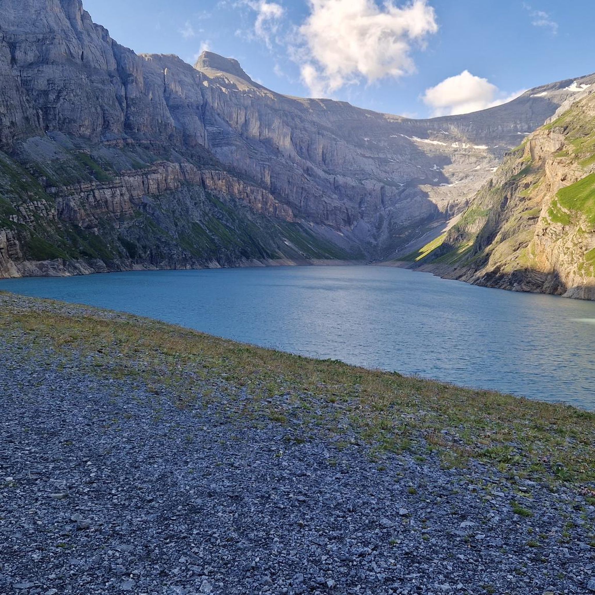
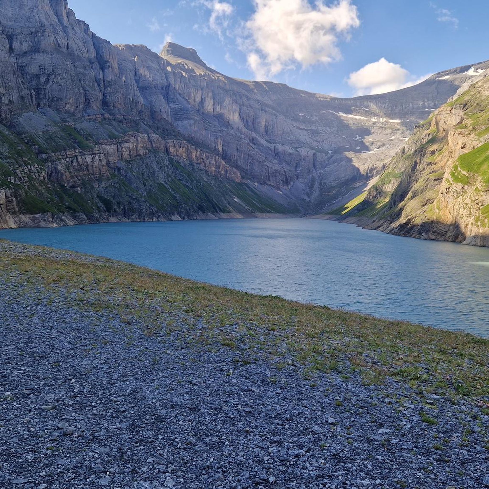
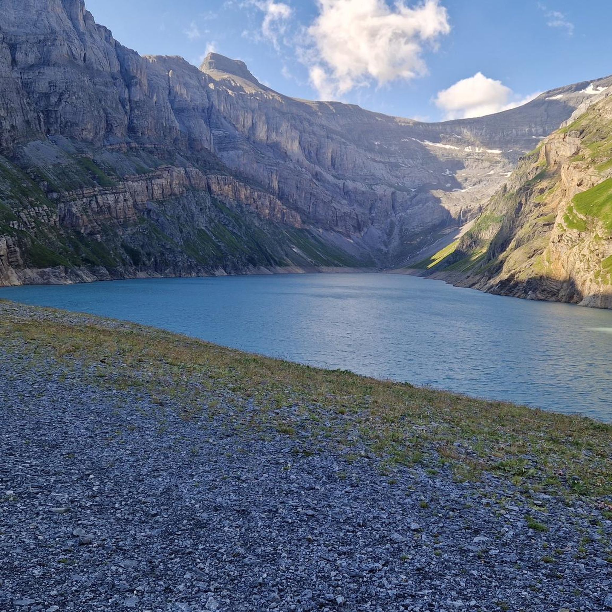
Mountaineering around Limmerensee offers challenging routes through high alpine terrain in the Glarus region. The landscape is characterized by prominent summits, deep valleys, and mountain lakes such as Limmerensee and Muttsee. These routes often feature significant elevation gains and exposed sections, typical of Swiss alpine environments.
Best mountaineering routes around Limmerensee
- The most popular mountaineering route is Muttsee and AlpinSolar Plant – View of Limmernsee loop from Kalktrittli, a 6.8 miles (11.0 km) trail that takes 5 hours 48 minutes to complete, offering views of the Limmerensee and the AlpinSolar Plant.
- Another top favourite among local mountaineers is Muttsee and AlpinSolar Plant – View of Limmernsee loop from Hinter Obbort, a difficult 11.8 miles (19.1 km) path. This route features substantial elevation gain through rugged alpine scenery.
- Local mountaineers also love the Kistenstöckli Summit – Bifertenhütte SAC loop from Burleun, a 10.3 miles (16.6 km) trail leading through high mountain passes and towards a prominent summit, often completed in about 6 hours 47 minutes.
- Mountaineering around Limmerensee is defined by high alpine passes, challenging summits, and glacial landscapes. The network offers options primarily for experienced mountaineers seeking demanding ascents.
- The routes in Limmerensee are highly rated by the komoot community with an average score of 4.6 stars from 8 reviews. More than 100 mountaineers have used komoot to explore Limmerensee's varied terrain.
Last updated: July 7, 2026
16
hikers
11.0km
05:48
860m
860m
Hard mountaineering route. Very good fitness required. Sure-footedness, sturdy shoes and alpine experience required.
5
hikers
3.46km
01:50
300m
300m
Moderate mountaineering route. Good fitness required. Mostly accessible paths. Sure-footedness required.

Sign up for free
20
hikers
16.6km
06:47
990m
990m
Hard mountaineering route. Very good fitness required. Sure-footedness, sturdy shoes and alpine experience required.
16
hikers
13.9km
07:41
1,040m
1,040m
Hard mountaineering route. Very good fitness required. Sure-footedness, sturdy shoes and alpine experience required.
3
hikers
11.6km
04:44
780m
780m
Moderate mountaineering route. Good fitness required. Mostly accessible paths. Sure-footedness required.
Our route recommendations are based on thousands of hikes, rides, and runs completed by other people on komoot.
Start today with a free account
Your next adventure awaits.
Login or Signup
Tips from the Community

very pretty here, very pretty, very pretty
0
1
very pretty here, very pretty, very pretty
0
0
very pretty here, very pretty, very pretty
0
0

The restaurant is located at an altitude of 1,725 meters directly on the winter hiking trail and near the Crest Falla ski lifts. The large sun terrace offers a unique view across the Rhine Valley to the Signina mountain range.
0
0

Really a highlight, highly recommended.
0
0
Frequently Asked Questions
What is the typical difficulty level for mountaineering routes around Limmerensee?
Mountaineering around Limmerensee is primarily characterized by challenging routes. Most of the available tours are rated as difficult, with significant elevation gains and exposed sections typical of high alpine environments. There is one moderate route, but no easy mountaineering options are listed.
What are the general distances and elevation gains for mountaineering tours in this region?
The mountaineering routes around Limmerensee typically range from approximately 11 km to 19 km in distance. You can expect substantial elevation gains, often between 650 meters and over 1500 meters, reflecting the demanding alpine terrain.
Are there any circular mountaineering routes available near Limmerensee?
Yes, several routes around Limmerensee are designed as loops. For instance, you can explore the Muttsee and AlpinSolar Plant – View of Limmernsee loop from Kalktrittli, which offers stunning views, or the more challenging Muttsee and AlpinSolar Plant – View of Limmernsee loop from Hinter Obbort.
What is the best season for mountaineering in the Limmerensee area?
The best season for mountaineering in the high alpine regions around Limmerensee is typically from late June to early October. During this period, snow has usually melted from higher passes, and weather conditions are generally more stable, though alpine weather can change rapidly. Always check local forecasts before heading out.
Is mountaineering around Limmerensee suitable for families or beginners?
Given that most routes are rated as difficult and involve significant elevation and exposed sections, mountaineering around Limmerensee is generally not recommended for families with young children or absolute beginners. These routes are best suited for experienced mountaineers with appropriate gear and preparation.
What do other mountaineers appreciate most about the Limmerensee region?
The Limmerensee area is highly rated by the komoot community, with an average score of 4.6 stars. Mountaineers frequently praise the breathtaking high alpine scenery, the challenging nature of the routes, and the rewarding views of mountain lakes and prominent summits like those found on the Kistenstöckli Summit – Bifertenhütte SAC loop from Burleun.
Are there options for advanced mountaineers seeking a significant challenge?
Absolutely. The Limmerensee region offers several demanding routes for advanced mountaineers. For example, the Muttsee and AlpinSolar Plant – View of Limmernsee loop from Hinter Obbort is a difficult 19 km path with over 1500 meters of elevation gain, providing a substantial test of endurance and skill through rugged alpine scenery.
How accessible are the mountaineering routes around Limmerensee by public transport?
Access to the Limmerensee region by public transport often involves a combination of trains and post buses to reach starting points like Tierfehd, which is a common access point for the Limmernsee area. From there, cable cars or further hiking may be required to reach the actual trailheads. It's advisable to check SBB (Swiss Federal Railways) for detailed connections to specific starting points.
Where can I find parking for mountaineering trails in the Limmerensee area?
Parking options are typically available at key access points to the region, such as Tierfehd, which serves as a base for many routes leading towards Limmerensee. Some cable car stations or specific trailheads might also offer limited parking. Always check local signage and regulations, as parking can be restricted or require a fee in alpine areas.
Are there any less crowded mountaineering trails in the Limmerensee region?
While the more popular routes can see a fair number of visitors during peak season, exploring trails further afield or starting earlier in the day can help avoid crowds. Consider routes like the Grosses Loch (Uri) – Gemsfairenstock (2,972 m) loop from Fisetenpass, which offers a challenging experience in a high alpine setting, potentially with fewer people.
What kind of terrain can I expect on mountaineering routes around Limmerensee?
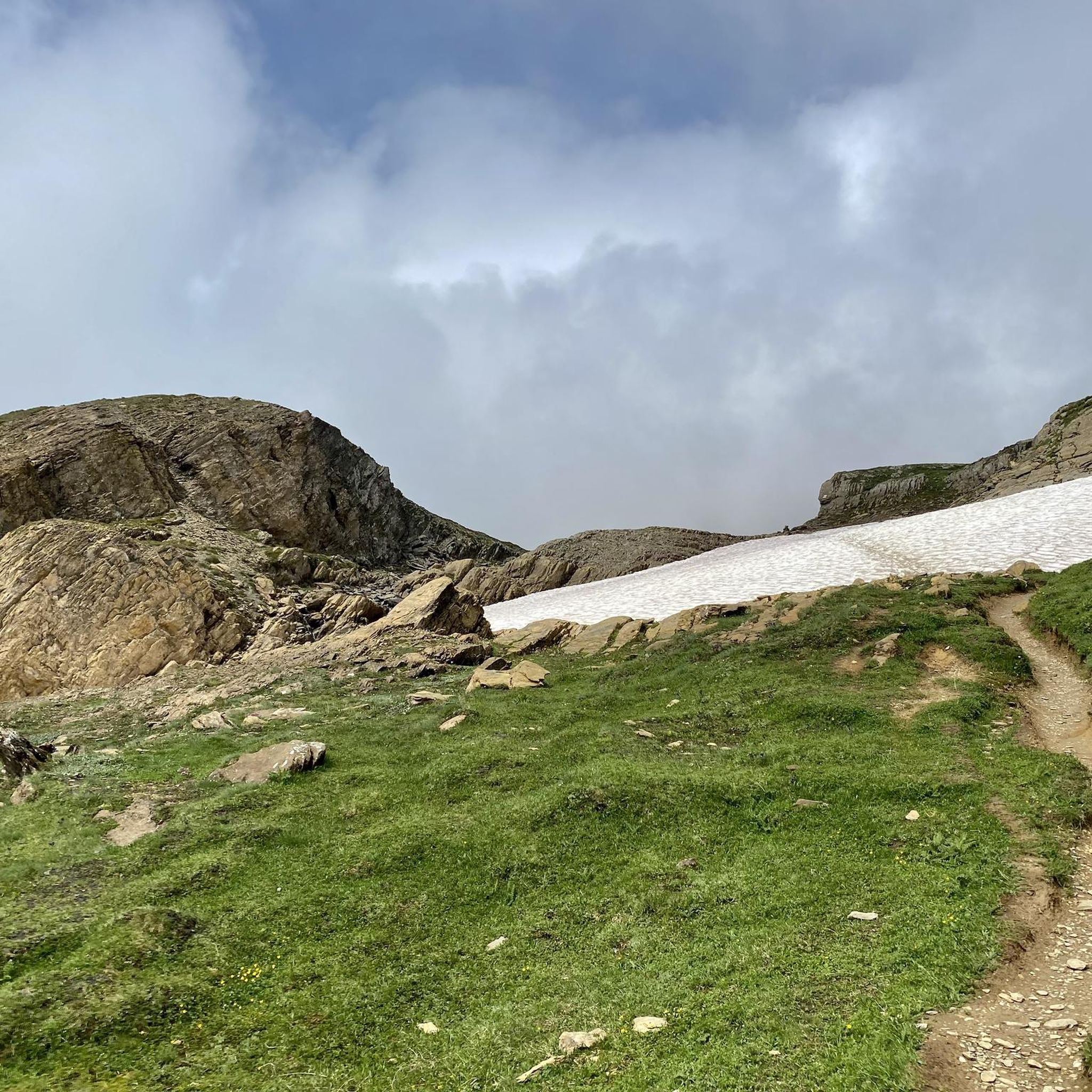
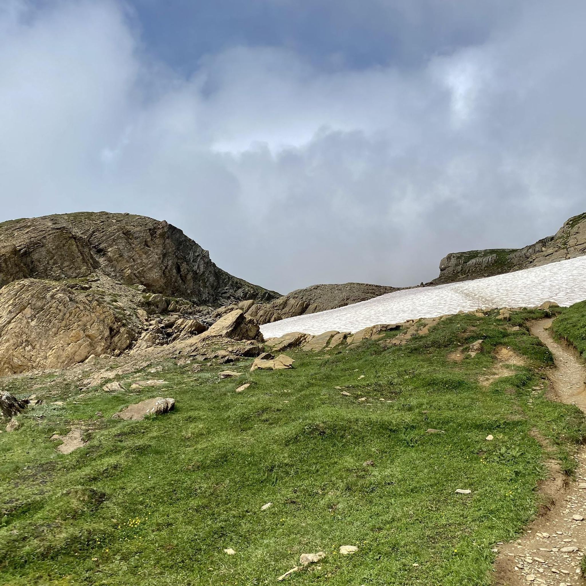
The terrain around Limmerensee is typical of the high Swiss Alps, featuring rocky paths, scree slopes, and potentially snowfields even in summer. You can expect steep ascents and descents, exposed sections, and rugged, untamed landscapes. Routes often traverse high mountain passes and lead to prominent summits, requiring sure-footedness and a head for heights.
Are there any mountaineering routes that offer views of the AlpinSolar Plant?
Yes, some routes provide unique perspectives of the AlpinSolar Plant. The Muttsee and AlpinSolar Plant – View of Limmernsee loop from Kalktrittli is a notable example, offering views of both the Limmerensee and the impressive AlpinSolar Plant installation.
Most popular routes around Limmerensee

Get inspired with the komoot mobile app


Explore more
Browse the best Mountain Hikes & Routes in other regions.
