The best road cycling routes around Amsoldingersee
4.5
(708)
16,773
riders
199
rides
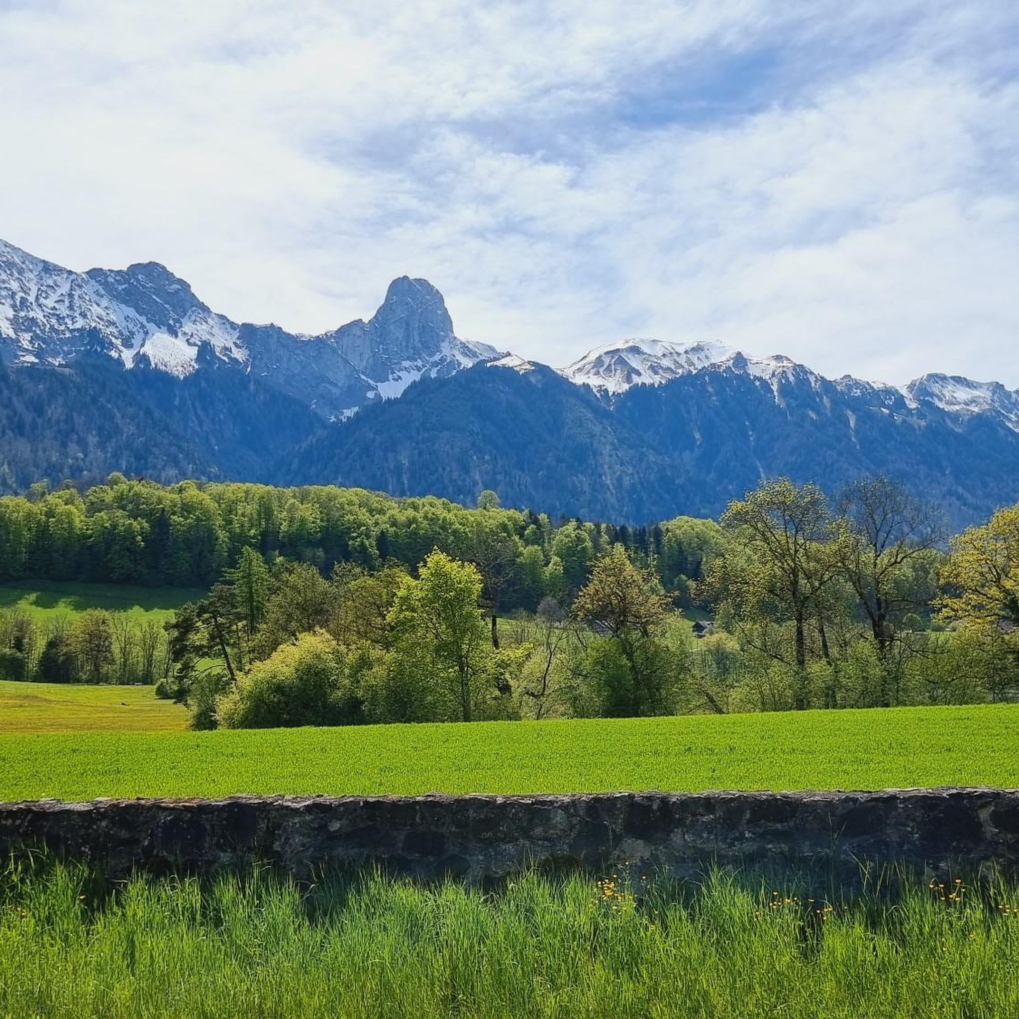
Road cycling routes around Amsoldingersee are situated in the Verwaltungskreis Thun, characterized by its lake-side paths and surrounding rolling hills. The region features a mix of open landscapes, scenic roads, and some forested sections. Elevations are generally moderate, with routes navigating through valleys and over gentle ascents. This area provides diverse terrain suitable for various road cycling experiences.
Best road cycling routes around Amsoldingersee
- The most popular road cycling route is Zwieselberg Scenic Road – Amsoldingen Church loop from Stocken-Höfen…
Last updated: July 8, 2026
3.7
(3)
18
riders
15.5km
00:43
170m
170m
Easy road ride. Great for any fitness level. Mostly well-paved surfaces and easy to ride.
11
riders
43.0km
02:07
630m
630m
Moderate road ride. Good fitness required. Mostly well-paved surfaces and easy to ride.

Sign up for free
11
riders
34.1km
01:47
260m
260m
Moderate road ride. Great for any fitness level. Some segments of this route may be unpaved and difficult to ride.
68
riders
18.8km
01:55
130m
130m
Easy road ride. Great for any fitness level. Mostly well-paved surfaces and easy to ride.
4.3
(3)
25
riders
25.8km
01:13
240m
240m
Easy road ride. Great for any fitness level. Mostly well-paved surfaces and easy to ride.
Get access to more routes and recommendations from other explorers.
Sign up for free
Already have an account?
Our route recommendations are based on thousands of hikes, rides, and runs completed by other people on komoot.
Start today with a free account
Your next adventure awaits.
Login or Signup

Tips from the Community


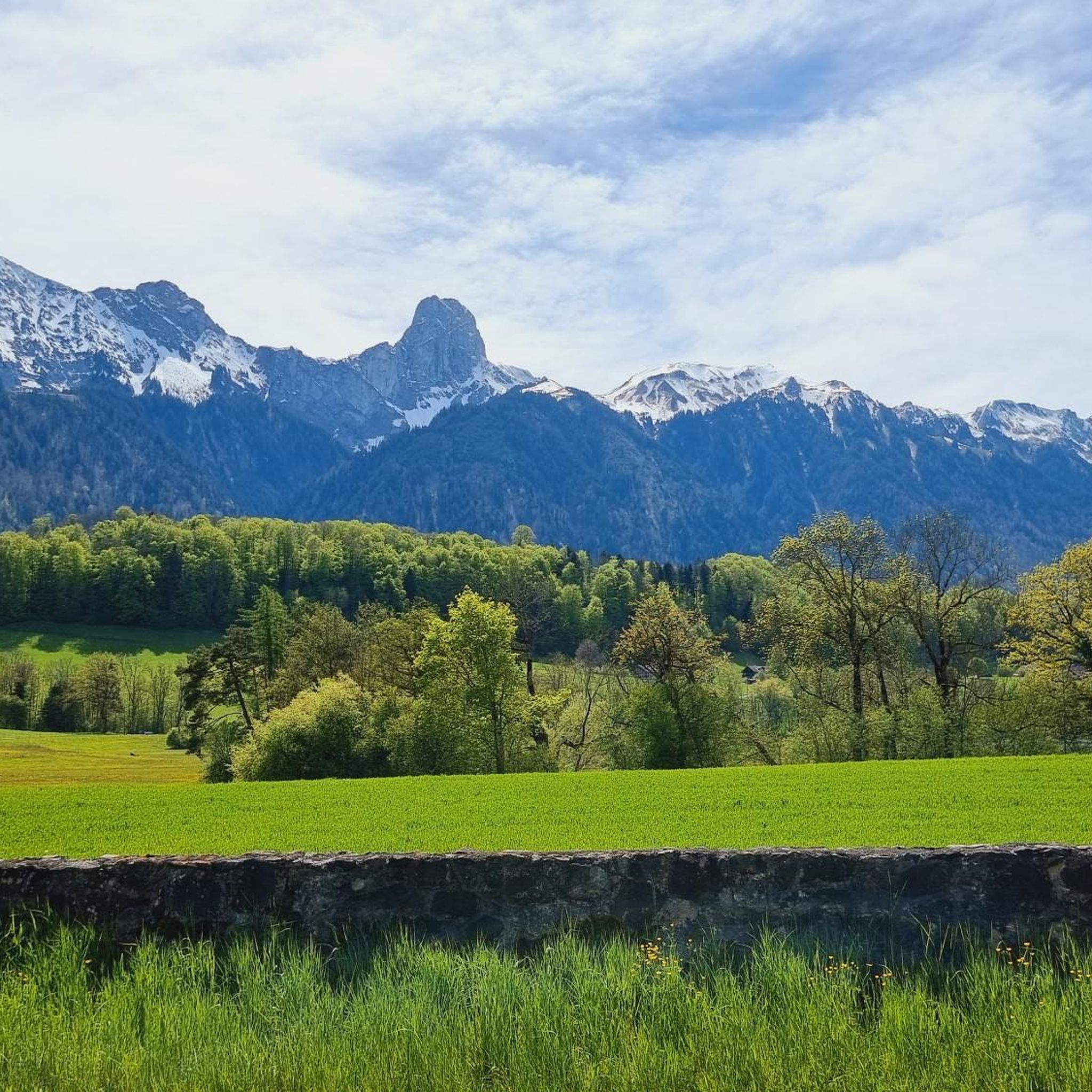
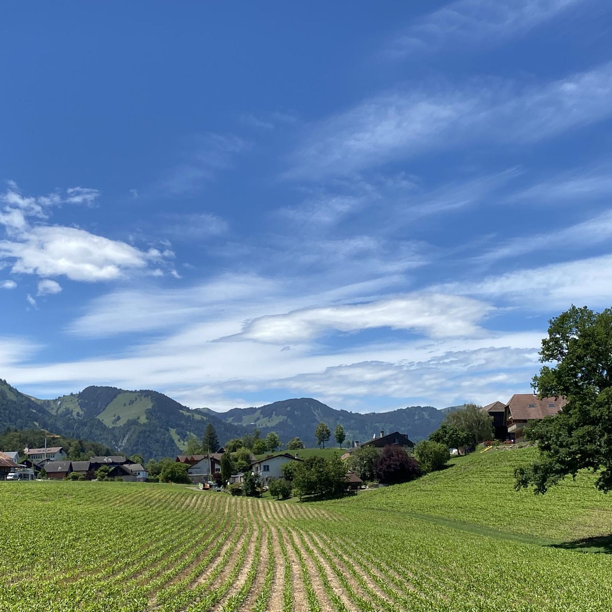
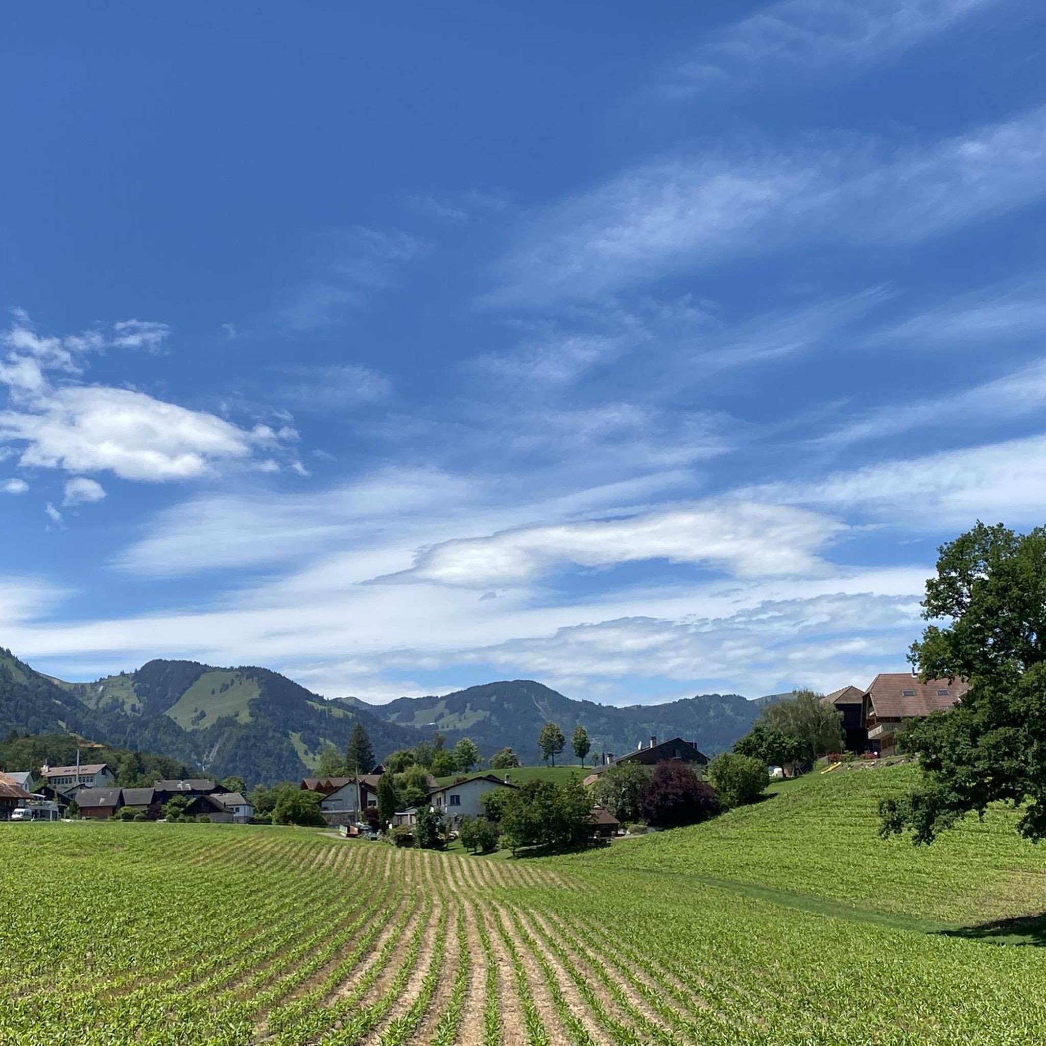
Thierachern is a municipality in the Swiss canton of Bern. It belongs to the administrative district of Thun. It is located just under five kilometers from Thun's city center. Thierachern does not have a specific village center, but is divided into five subdivisions (Wahlen, Dorf, upper, middle, and lower Schwand, and Brügg).
1
0

Beautiful view of Lake Thun
0
0

Beautiful view, large bike path, old bridge
0
0

The bridge itself is great. Unfortunately, there are no cycle paths before or after it and so this bridge is definitely not of "national importance".
0
0

On the road from Uttigen to Jaberg you will not find the attached pictures
0
0
Chinese restaurant also with Swiss cuisine
0
0

Frequently Asked Questions
How many road cycling routes are available around Amsoldingersee?
There are over 200 road cycling routes around Amsoldingersee, offering a wide range of options for different skill levels and preferences.
What is the general difficulty level of road cycling routes in the Amsoldingersee region?
The Amsoldingersee region offers a diverse range of routes. You'll find a good mix of easy and moderate paths, with 52 easy routes and 111 moderate routes. There are also 39 more challenging routes for experienced cyclists.
Are there any beginner-friendly road cycling routes around Amsoldingersee?
Yes, beginners can enjoy several easy routes. A great option is the View of Thun – Scenic Cycle Path in Oberland loop from Thierachern, which covers 16 miles (25.8 km) with moderate elevation changes, offering scenic views without being overly demanding.
What are the typical distances and durations for road bike routes in Amsoldingersee?
Route distances vary significantly. For example, the easy Zwieselberg Scenic Road – Amsoldingen Church loop from Stocken-Höfen is about 9.6 miles (15.5 km) and takes approximately 45 minutes. Longer, moderate routes like the Längenberg Panorama Route – Sangenboden loop from Stocken-Höfen stretch to 26.7 miles (42.9 km) and can take over 2 hours.
Are there any road cycling routes suitable for families around Amsoldingersee?
While specific 'family-friendly' designations aren't always available, many of the easy routes with moderate elevations are suitable for families with older children. The region's lake-side paths and scenic roads generally offer a pleasant experience. Consider routes with less traffic and flatter sections for a more relaxed family ride.
What is the best time of year for road cycling in Amsoldingersee?
The spring, summer, and autumn months generally offer the most pleasant conditions for road cycling around Amsoldingersee. Spring brings blooming landscapes, while summer provides warm weather. Autumn offers beautiful foliage and cooler temperatures. Always check local weather forecasts before heading out.
Are there any circular road bike routes in the Amsoldingersee area?
Yes, many routes in the region are designed as loops. A popular moderate option is the Übeschisee loop from Amsoldingen, which covers 11.6 miles (18.7 km) and offers a scenic ride around the lake.
What kind of scenery can I expect while road cycling around Amsoldingersee?
The Amsoldingersee region is characterized by beautiful lake views, scenic roads, and rolling hills. You'll encounter a mix of open landscapes, some forested sections, and routes that navigate through valleys and over gentle ascents, providing diverse and picturesque backdrops for your ride.
What do other road cyclists enjoy most about road cycling in Amsoldingersee?
The area is highly rated by the komoot community, with an average score of 4.6 stars from over 630 reviews. Reviewers often praise the varied terrain, the scenic views along the lake and through rolling hills, and the well-maintained roads that make for an enjoyable cycling experience.
Are there any cafes or places to stop for refreshments along the road bike routes?
While specific cafes are not listed for every route, the region's villages and towns, such as Stocken-Höfen or Amsoldingen, typically offer opportunities for refreshments. Planning your route to pass through these settlements will allow for convenient stops.
Are there any routes that offer panoramic viewpoints?
Yes, the Längenberg Panorama Route – Sangenboden loop from Stocken-Höfen is specifically known for providing panoramic views from the Längenberg area, making it a great choice for those seeking scenic vistas.
What are the road conditions like for cycling in Amsoldingersee during spring?
In spring, road conditions are generally good as the weather warms up. However, it's always advisable to check local weather forecasts for recent rainfall, which could lead to wet patches, especially in shaded or forested areas. The region's roads are typically well-maintained for cycling.
Is road cycling possible in Amsoldingersee during winter?
Winter cycling is possible, but conditions can be challenging due to colder temperatures, potential ice, or snow. Many cyclists prefer to ride on clear, gritted roads. It's best to stick to main roads that are regularly cleared and to use appropriate winter cycling gear.
Most popular routes around Amsoldingersee

Get inspired with the komoot mobile app


Explore more
Browse the best Road cycling routes in other regions.
