The best mountain hikes around Übeschisee
4.8
(29)
258
hikers
6
hikes
Mountaineering routes around Übeschisee traverse a landscape characterized by significant elevation changes, alpine meadows, and rocky peaks. The region offers challenging ascents and panoramic views across the Bernese Alps. These trails often lead through high-altitude terrain, demanding experience and proper equipment. The area's geology provides varied surfaces, from forest paths to exposed ridges.
Best mountaineering routes around Übeschisee
- The most popular mountaineering route is Chrümmelwägen Tunnel – Möntschelespitz loop from Blumenstein, an 8.8 miles (14.1 km) trail that takes…
Last updated: July 6, 2026
5.0
(2)
7
hikers
14.6km
06:52
1,210m
1,210m
Hard mountaineering route. Very good fitness required. Sure-footedness, sturdy shoes and alpine experience required.
5.0
(1)
10
hikers
10.4km
04:32
660m
660m
Hard mountaineering route. Good fitness required. Sure-footedness, sturdy shoes and alpine experience required.

Sign up for free
4
hikers
16.4km
07:31
1,290m
1,290m
Hard mountaineering route. Very good fitness required. Sure-footedness, sturdy shoes and alpine experience required.
3
hikers
15.1km
07:10
1,250m
1,240m
Hard mountaineering route. Very good fitness required. Sure-footedness, sturdy shoes and alpine experience required.
4.0
(1)
12
hikers
8.96km
04:35
800m
800m
Hard mountaineering route. Good fitness required. Sure-footedness, sturdy shoes and alpine experience required.
Our route recommendations are based on thousands of hikes, rides, and runs completed by other people on komoot.
Start today with a free account
Your next adventure awaits.
Login or Signup

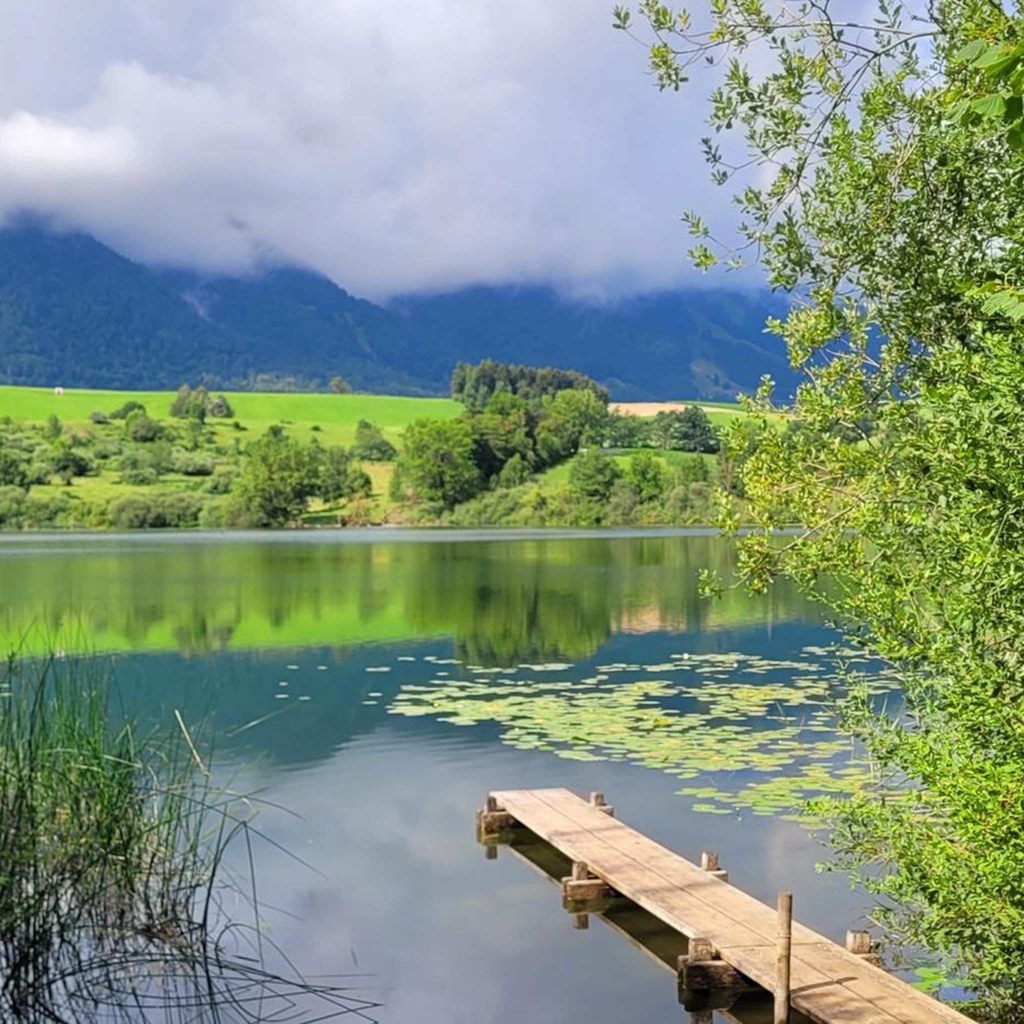
Tips from the Community

It's called Chatz u Muus (Cat and Mouse). That's because, from the Gürbe Valley, it looks as if a cat (Chatz) and a mouse (Muus) are sitting opposite each other. 🐁_🐈⬛
0
0

Great ascent aid for snowshoe hikes🥰
1
0

🚡 Chrindi middle station - the gateway to adventure on the Stockhorn 🏔️✨ The Chrindi middle station is the perfect starting point for unforgettable experiences around the Stockhorn: 🌊 Hinterstockensee: Can be reached in just a few minutes - ideal for swimming, fishing or simply relaxing by the water. 🥾 Hiking paradise: Start varied hikes here with breathtaking views of the Simmental and the Bernese Alps. 🚠 Onward journey: Take the Stockhorn cable car to the summit station for a 360° panorama.
0
1

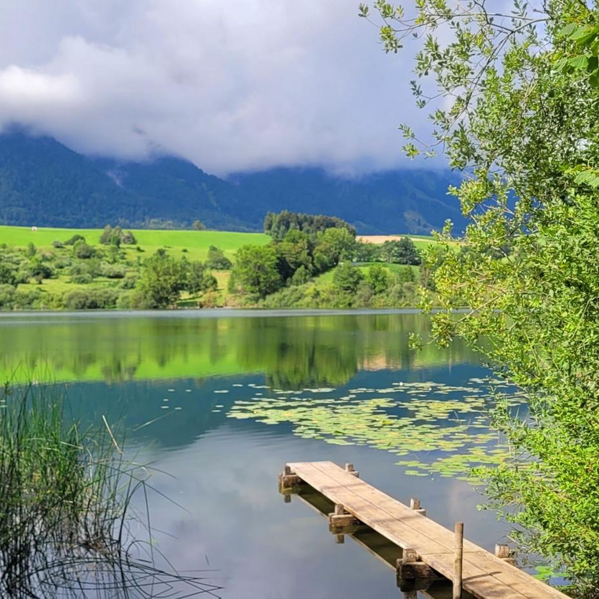
If the ice is thick enough, the lake can be walked on.
7
1
starting point for beautiful snowshoe tours
11
2


The Fallbach waterfall is a beautiful waterfall located at about 1,000 meters above sea level. It is easily accessible from Blumenstein.
1
0
Beautiful panorama
3
0
Frequently Asked Questions
What is the general difficulty level of mountaineering routes around Übeschisee?
The mountaineering routes around Übeschisee are generally considered difficult. They feature significant elevation changes, high-altitude terrain, and exposed ridges, requiring experience and proper equipment. All 6 routes listed in this guide are rated as difficult.
Are there any beginner-friendly mountaineering routes in the Übeschisee area?
Given the challenging nature of the terrain, there are no routes specifically classified as 'easy' or 'moderate' for mountaineering around Übeschisee in this guide. All available routes are rated as difficult, making them more suitable for experienced mountaineers.
What is the best time of year for mountaineering around Übeschisee?
The best time for mountaineering around Übeschisee is typically during the late spring, summer, and early autumn months (June to October). During this period, snow has usually melted from higher elevations, and weather conditions are generally more stable. Always check local weather forecasts and trail conditions before heading out.
Are there any circular mountaineering routes available near Übeschisee?
Yes, many of the mountaineering routes around Übeschisee are circular. For example, you can explore the Chrümmelwägen Tunnel – Möntschelespitz loop from Blumenstein, which offers panoramic views, or the Stockhorn Viewing Platform – Oberstockensee loop from Stockhorn for alpine scenery.
What kind of wildlife might I encounter while mountaineering in the Übeschisee region?
The Bernese Alps, where Übeschisee is located, are home to diverse alpine wildlife. You might spot chamois, ibex, marmots, and various bird species like eagles or bearded vultures. Maintaining a respectful distance and observing quietly is always recommended.
Are there any options for refreshments or cafes near the mountaineering trails?
While specific cafes directly on the high-alpine trails are rare, you will often find mountain huts (Hütten) or restaurants at trailheads or popular viewpoints, such as near the Stockhorn Viewing Platform. It's always advisable to carry sufficient water and snacks, especially on longer routes.
What should I wear or bring for mountaineering around Übeschisee?
For mountaineering in this region, it's crucial to be well-prepared. Essential gear includes sturdy mountaineering boots, layered clothing suitable for varying alpine weather, waterproof and windproof outer layers, a map and compass or GPS device, sufficient water and food, sun protection, and a first-aid kit. Trekking poles are also highly recommended for stability on steep terrain.
What do other mountaineers enjoy most about the Übeschisee routes?
The komoot community highly rates the routes around Übeschisee, with an average score of 4.8 stars from over 20 reviews. Mountaineers frequently praise the challenging ascents, the expansive mountain vistas, and the unique experience of traversing high-alpine terrain.
How long do the mountaineering routes around Übeschisee typically take to complete?
The duration of routes varies depending on their length and elevation gain. For instance, the Möntschelespitz loop from Blumenstein is a longer route, often taking around 7 hours 23 minutes, while the Adlerhorst (1960 m) loop from Wimmis can be completed in about 4 hours 35 minutes.
What are the winter conditions like for mountaineering near Übeschisee?
Winter conditions around Übeschisee are severe, with heavy snowfall, ice, and avalanche risks. Mountaineering during winter requires specialized equipment like snowshoes, crampons, ice axes, and avalanche safety gear, along with extensive experience in alpine winter conditions. Many routes may be impassable or extremely dangerous. It is crucial to consult local avalanche forecasts and guides.
Are there any less-trafficked or 'hidden gem' routes for mountaineering in the area?
While all routes in this guide are popular for their quality, for a potentially quieter experience, consider the Adlerhorst (1960 m) loop from Wimmis. This route offers similar challenging terrain and views but might see slightly fewer visitors compared to the most prominent loops.
Is parking available near the trailheads for mountaineering routes?
Yes, parking is generally available at or near the starting points of these mountaineering routes, such as in Blumenstein or Stockhorn. However, during peak season, spaces can fill up quickly, so arriving early is recommended. Always check for any parking fees or restrictions.
Most popular routes around Übeschisee

Get inspired with the komoot mobile app


Explore more
Browse the best Mountain Hikes & Routes in other regions.
