The best mountain hikes around Oeschinensee
4.5
(31)
279
hikers
10
hikes
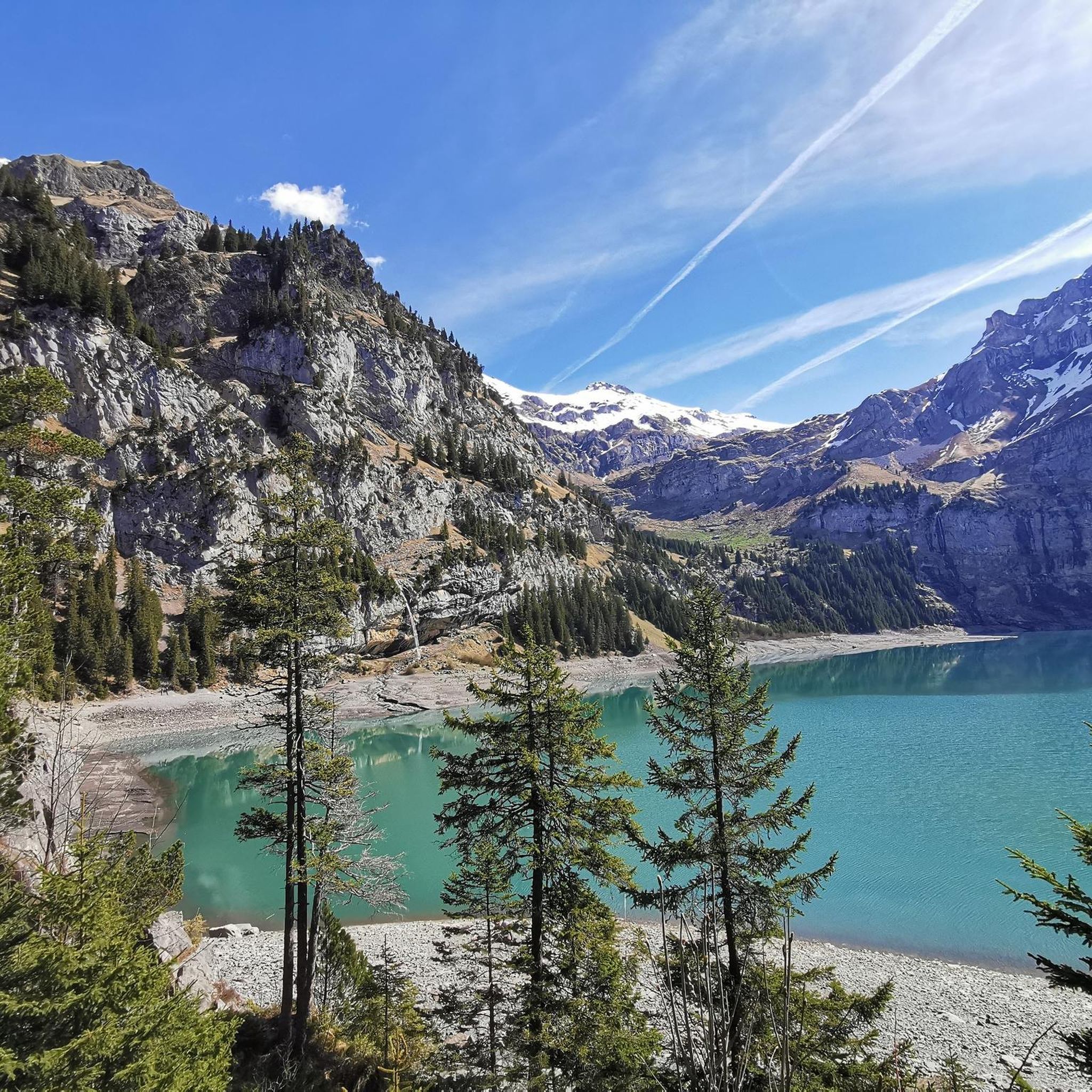
Mountaineering around Oeschinensee offers diverse terrain within a UNESCO World Heritage site, characterized by a vibrant glacial lake surrounded by towering peaks like Blüemlisalp and Doldenhorn. The region features ridged slopes with numerous waterfalls, alpine meadows, and forests, transitioning from lush green fields to higher, more rugged elevations. The landscape is shaped by glacial activity and provides varied challenges for mountaineers.
Best mountaineering routes around Oeschinensee
- The most popular mountaineering route is View of the Blüemlisalp Group – Engstligen Falls…
Last updated: August 7, 2026
4.0
(1)
2
hikers
4.26km
01:17
120m
120m
Moderate mountaineering route. Great for any fitness level. Mostly accessible paths. Sure-footedness required.
4.8
(12)
80
hikers
12.9km
04:24
560m
560m
Hard mountaineering route. Good fitness required. Sure-footedness, sturdy shoes and alpine experience required.

Sign up for free
5.0
(1)
10
hikers
Moderate mountaineering route. Good fitness required. Mostly accessible paths. Sure-footedness required.
4.7
(9)
76
hikers
7.21km
04:08
620m
620m
Hard mountaineering route. Good fitness required. Sure-footedness, sturdy shoes and alpine experience required.
3.0
(1)
22
hikers
12.6km
07:44
1,310m
1,310m
Hard mountaineering route. Very good fitness required. Sure-footedness, sturdy shoes and alpine experience required.
Get access to more routes and recommendations from other explorers.
Sign up for free
Already have an account?
Our route recommendations are based on thousands of hikes, rides, and runs completed by other people on komoot.
Start today with a free account
Your next adventure awaits.
Login or Signup
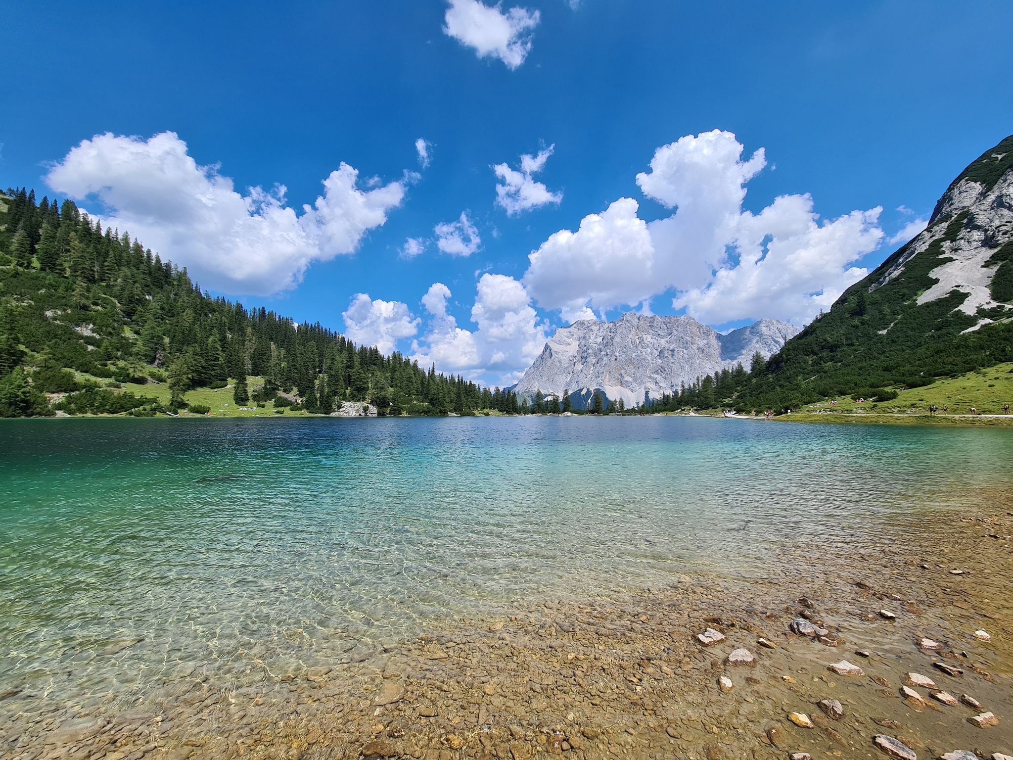
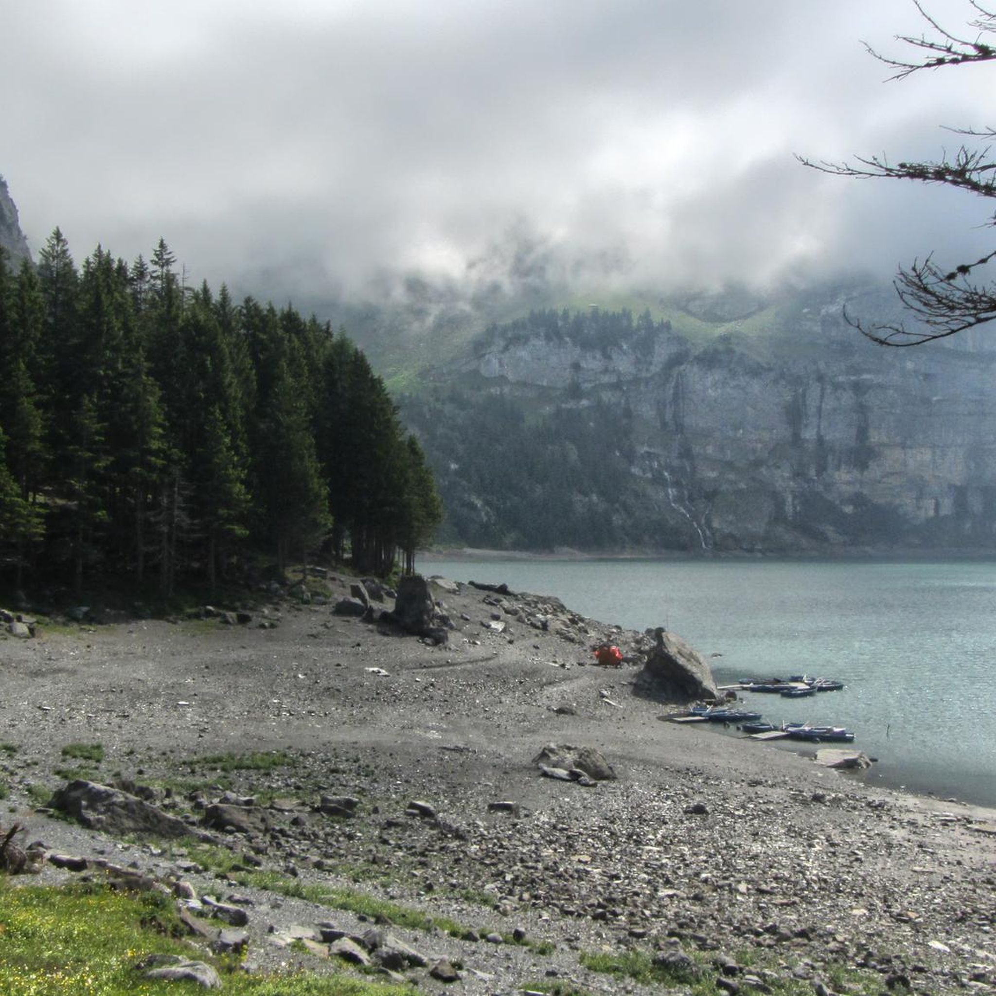
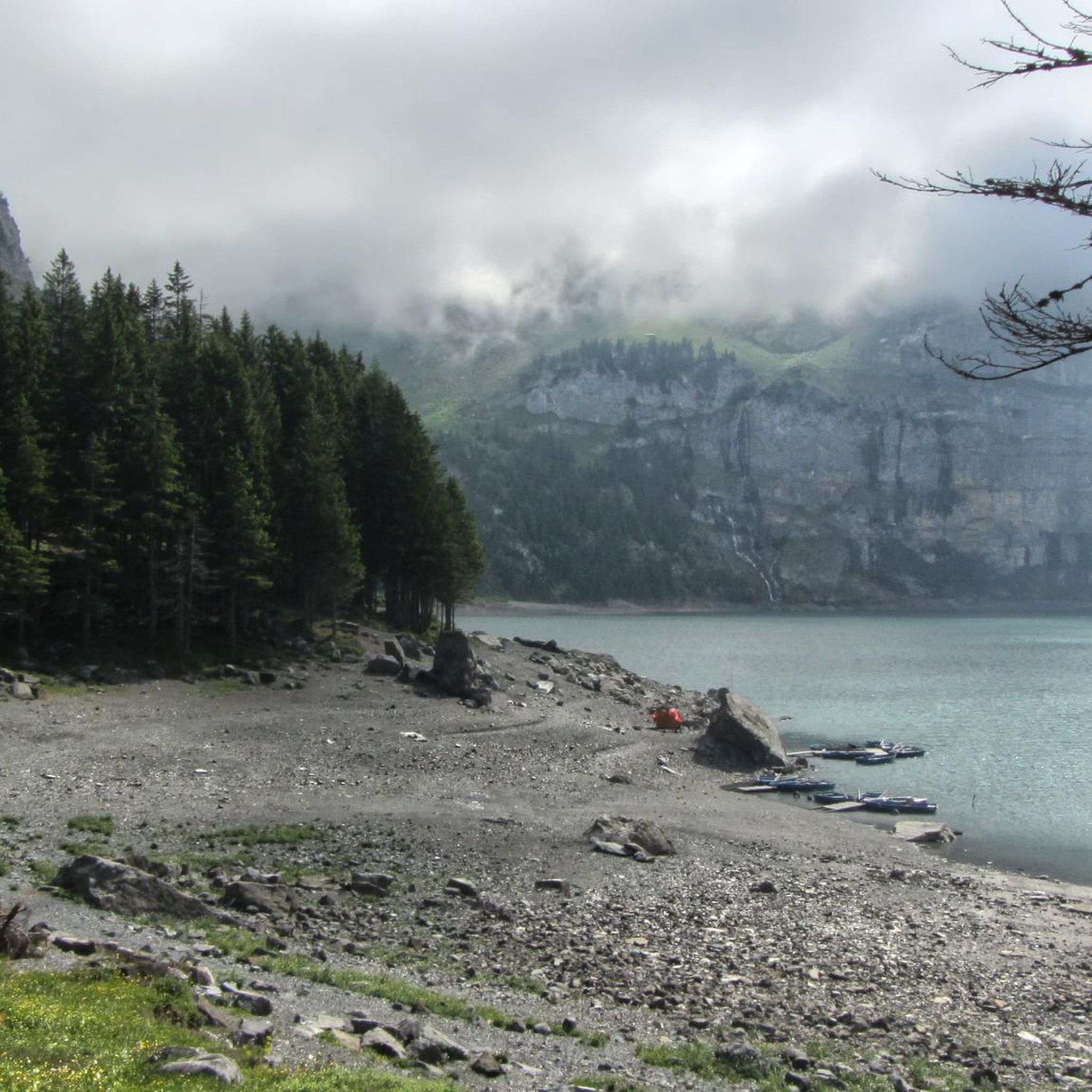
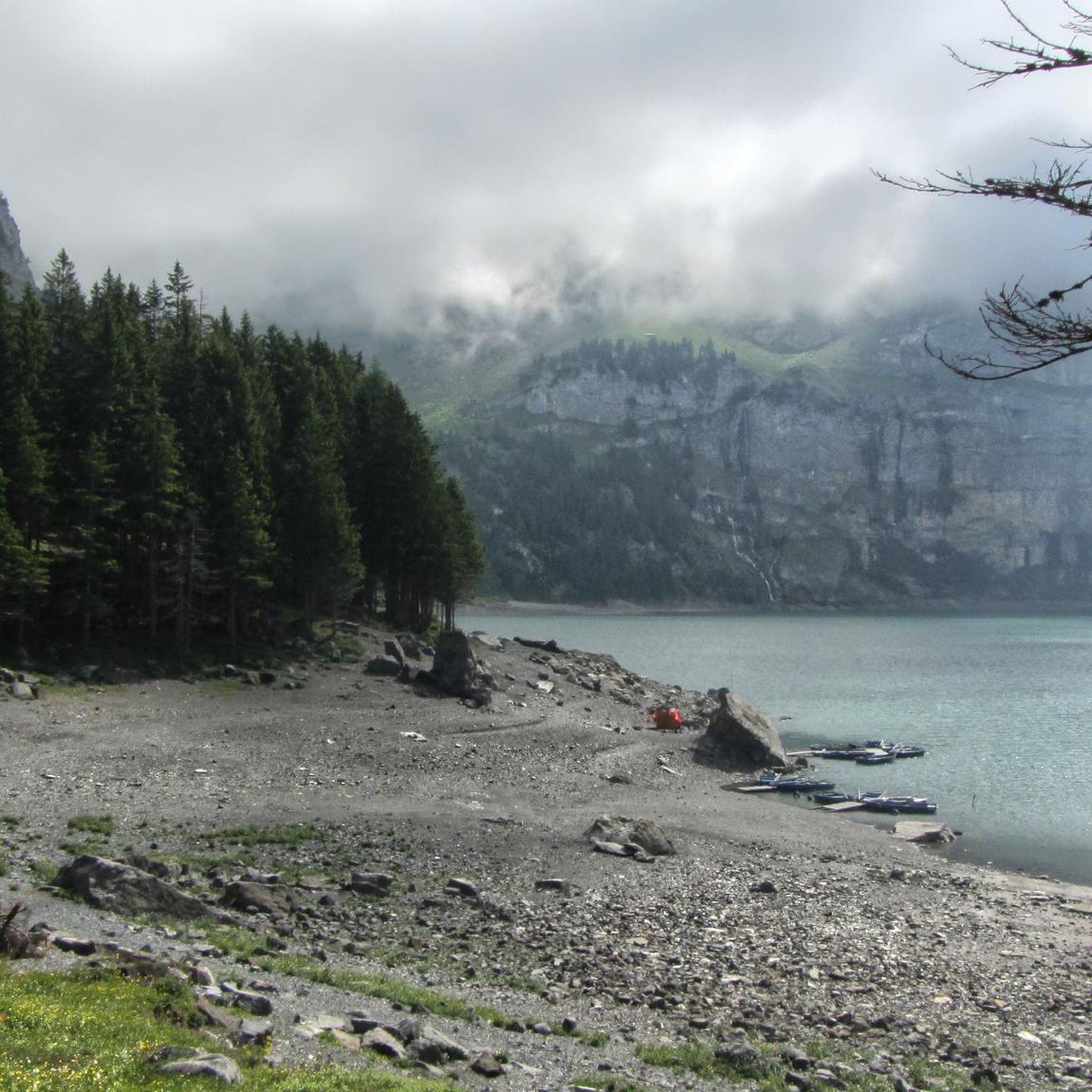
Other adventures around Oeschinensee

Tips from the Community

very pretty here, very pretty
0
0
very pretty here, very pretty
0
0

Very rewarding via ferrata with numerous gimmicks! https://www.via-ferrata.de/klettersteige/topo/klettersteig-allmenalp
0
0

The small, charming Allmen cable car takes hikers from Kandersteg to lofty heights – completely away from mass tourism. The ride in the historic cabin feels almost like a journey back in time: a gentle whirring sound glides over alpine meadows, rocks, and fir trees, while the valley quickly opens up beneath you. Once at the top, a quiet starting point awaits for scenic mountain hikes away from the main cable cars.
0
0

Location: Right next to the mountain station of the Kandersteg-Allmenalp cable car – easily accessible in about a 5-minute drive from Kandersteg and directly accessible without hiking boots. Ambience: Rustic and cozy with a sun terrace and spectacular panoramic views of Kandersteg, Lake Oeschinen, and the surrounding mountains such as Blüemlisalp and Gasterntal. Cuisine: Regional Alpine cuisine with snacks, simple dishes, and homemade alpine cheese – served with the typical hospitality of the Reichen-Grüter host family. Payment: Cash and Twint payments only – please remember! 🧭 This stop is ideal as: A rest stop during a hike to Ueschinenalp, Bunderspitz, or as part of the Via Ferrata-Allmenalp tour, A place for a relaxing break with a view after a strenuous tour, and a meeting point for hikers, paragliders, and climbing enthusiasts. Opening hours high season: mid-May to mid-October, daily operation.
0
1

Such a beautiful lake no matter the weather! More touristic than it was 10 years ago but understandably
0
0

The "Allmen-Beizli" restaurant on the Allmenalp is the meeting place for hikers, climbers, paragliders and connoisseurs. Located right next to the mountain station, the Beizli is easy to reach. From the sun terrace you have a breathtaking view of the Kandersteg mountains. Let yourself be won over by the Alpine hospitality. All information about the Allmen-Beizli can be found at www.allmen-alp.ch Please note: Payment in the Allmen-Beizli is only possible in cash! https://www.allmenalp.ch/de/erleben/einkehr.html
3
1

Lovely view of the iconic Oeschinensee! Each angle for seeing it is so beautiful, but also so different. Definitely worth seeing all of them :)
1
1
Frequently Asked Questions
How many mountaineering routes are available around Oeschinensee?
There are 11 mountaineering routes around Oeschinensee listed in this guide. These routes offer a mix of challenges, with 5 rated as moderate and 6 as difficult, catering to various experience levels.
What kind of natural features can I expect to see along the mountaineering routes?
Mountaineering routes around Oeschinensee offer breathtaking natural features. You'll encounter the vibrant blue glacial Lake Oeschinen, surrounded by towering peaks like Blüemlisalp and Doldenhorn. Many routes feature numerous waterfalls, including the Waterfall at Lake Oeschinen, and transition through alpine meadows and forests. You might also spot rich mountain flora and diverse wildlife.
Are there any circular mountaineering routes in the Oeschinensee area?
Yes, several mountaineering routes around Oeschinensee are circular. For example, the moderate Engstligen Falls – Berghotel Oeschinensee loop from Kandersteg offers expansive views of the glacial lake. Another option is the more challenging Untere Allme Trail Sign – Allmen-Beizli loop from Kandersteg, which takes you through alpine meadows and forested sections.
What do other mountaineers enjoy most about the Oeschinensee routes?
The mountaineering routes around Oeschinensee are highly rated by the komoot community, with an average score of 4.4 stars from over 25 reviews. Mountaineers frequently praise the stunning panoramic views of the glacial lake and surrounding peaks, the diverse terrain ranging from lush meadows to rugged alpine sections, and the sense of adventure offered by the challenging trails.
Are there any particularly challenging mountaineering routes for experienced hikers?
Yes, Oeschinensee offers several challenging mountaineering routes. For instance, the Beautiful Waterfall – Balmhorn Hut loop from Talstation Sunnbüel is a difficult 11.4 km route with significant elevation gain. The region also features trails like the 'Fründenschnur', which is known for its narrow and rocky sections along steep cliffsides, requiring surefootedness and alpine experience.
Can I find routes that pass by waterfalls in Oeschinensee?
Absolutely. The ridged slopes of the mountains around Oeschinensee are home to numerous waterfalls. The moderate View of the Blüemlisalp Group – Engstligen Falls loop from Kandersteg specifically passes by the Engstligen Falls. You can also find the Waterfall at Lake Oeschinen, which is a notable highlight in the area.
What is the best time of year for mountaineering in Oeschinensee?
The best time for mountaineering in Oeschinensee is typically during the warmer months, from late spring to early autumn, when trails are clear of snow and the weather is more stable. During this period, the glacial lake is vibrant, and the alpine flora is in full bloom. In winter, the area transforms into a snow sports destination, with different activities like snowshoeing and winter hiking.
Are there any facilities or points of interest near the lake after a mountaineering trip?
Yes, after a mountaineering trip, you can relax by Lake Oeschinen. You can rent a rowboat from the Rowboat rental at Oeschinen Lake or even take a dip at the Swimming Spot at Oeschinen Lake, where the glacial waters can warm up to 20 degrees Celsius in summer. There are also mountain huts and restaurants in the vicinity for refreshments.
What are the typical distances and durations for mountaineering routes in Oeschinensee?
Mountaineering routes in Oeschinensee vary significantly in distance and duration. You can find shorter, moderate routes like the View of the Blüemlisalp Group – Engstligen Falls loop from Kandersteg, which is about 4.1 km and takes around 1 hour 14 minutes. More difficult routes, such as the Allmen-Beizli – Untere Allme Trail Sign loop from Kandersteg, can be around 9.2 km and take over 4 hours to complete, with considerable elevation changes.
Are there any specific viewpoints or photo spots along the mountaineering trails?
The entire Oeschinensee region is incredibly scenic, offering numerous photo opportunities. The Panorama Trail, while not a mountaineering route itself, provides bird's-eye views of the lake. Many mountaineering routes, especially those with higher elevation gains, offer expansive vistas of the glacial lake, the surrounding peaks like Blüemlisalp, and the dramatic alpine amphitheater. The Läger Descent to Oeschinensee also offers stunning perspectives.
What kind of terrain should I expect on the mountaineering routes around Oeschinensee?
The terrain around Oeschinensee is diverse, ranging from lush green fields and alpine meadows to beautiful forests and rugged, rocky sections at higher elevations. You can expect paths with considerable elevation gain and loss, some narrow and rocky sections along steep cliffsides, and potentially slippery stream crossings, especially on more challenging routes. Sturdy footwear and alpine experience are recommended for the difficult trails.
Most popular routes around Oeschinensee
Most popular attractions around Oeschinensee

Get inspired with the komoot mobile app


Explore more
Browse the best Mountain Hikes & Routes in other regions.
