The best road cycling routes around Clontygora
4.4
(56)
2,084
riders
169
rides
Road cycling routes around Clontygora are situated in County Armagh, Northern Ireland, offering varied terrain for cyclists. The area lies within the rugged Slieve Gullion ring-dyke, characterized by geological formations and elevated vistas. Cyclists encounter green fields, hedgerows, and rolling hills, with routes providing both gentle stretches and demanding inclines. Views of the Mourne Mountains are accessible from many points, contributing to the region's cycling appeal.
Best road cycling routes around Clontygora
- The most popular road cycling route is The…
Last updated: May 15, 2026
5.0
(1)
24
riders
33.5km
01:36
470m
470m
Moderate road ride. Good fitness required. Some segments of this route may be unpaved and difficult to ride.
86.2km
04:15
1,100m
1,100m
Hard road ride. Very good fitness required. Mostly well-paved surfaces and easy to ride.

Sign up for free
4.0
(4)
118
riders
68.0km
02:47
370m
370m
Moderate road ride. Good fitness required. Mostly well-paved surfaces and easy to ride.
5.0
(1)
54
riders
53.7km
02:18
440m
440m
Moderate road ride. Good fitness required. Mostly well-paved surfaces and easy to ride.
3.5
(2)
35
riders
28.2km
01:11
160m
160m
Easy road ride. Great for any fitness level. Mostly well-paved surfaces and easy to ride.
Get access to more routes and recommendations from other explorers.
Sign up for free
Already have an account?
Our route recommendations are based on thousands of hikes, rides, and runs completed by other people on komoot.
Start today with a free account
Your next adventure awaits.
Login or Signup

Tips from the Community

The highest bar in County Louth along the Táin Way. A traditional Irish pub that offers a cozy interior with a warming fire and excellent food. A favourite amongst locals and hikers!
0
0

The Táin Way is a 40 kilometre (25 mi) circular hiking trail that starts and ends in Carlingford. Named after the ancient Irish epic "Táin Bó Cúailnge", the route winds through the Cooley Peninsula, offering a mix of coastal views, forest paths, and mountain tracks. Typically completed over two days, the trail includes a total ascent of about 1,025 meters and is marked with yellow arrows on a black background. Along the way, hikers encounter historical sites like Bronze Age cairns and enjoy panoramic vistas of Carlingford Lough and the Mourne Mountains. Alternative trailheads are available at Omeath and Ravensdale, providing flexibility for different starting points. Please note that dogs are not permitted on farmland sections of the trail.
1
0
A great little cafe set in the bike shop, with great coffee and a nice variety of sweet goodies.
0
0

A quick stop at the coffee and snack hut next to Lumper's Bar is just the thing to recharge your batteries after a challenging stage. The small hut offers everything a cyclist's heart desires: fresh coffee, sweet waffles and hearty snacks that give you the energy you need for the next stretch. With the smell of freshly brewed coffee in the air and the cozy atmosphere, it's easy to take a quick breather and rest your legs here. The location right on the road makes it an ideal stopover, even if the traffic can be a bit noisy at times. But hey, who cares about small things with such beautiful surroundings and typical Irish hospitality? The colorful bench and the small decorations give the place a special charm that invites you to linger - even if it's just for a moment.
0
2

Wikipedia (Carlingford, County Louth, 2023-12-18): https://en.m.wikipedia.org/wiki/Carlingford,_County_Louth https://de.m.wikipedia.org/wiki/Carlingford Carlingford Lough Heritage Trust (Discover Carlingford & The Cooley Peninsula, 2023-12-18): https://www.carlingford.ie/
3
1

The perfect meeting spot to start any run in this area. From this point you can head either into Rostrevor village, out towards Killowen, into Kilbroney park or head north alongside the river.
1
0
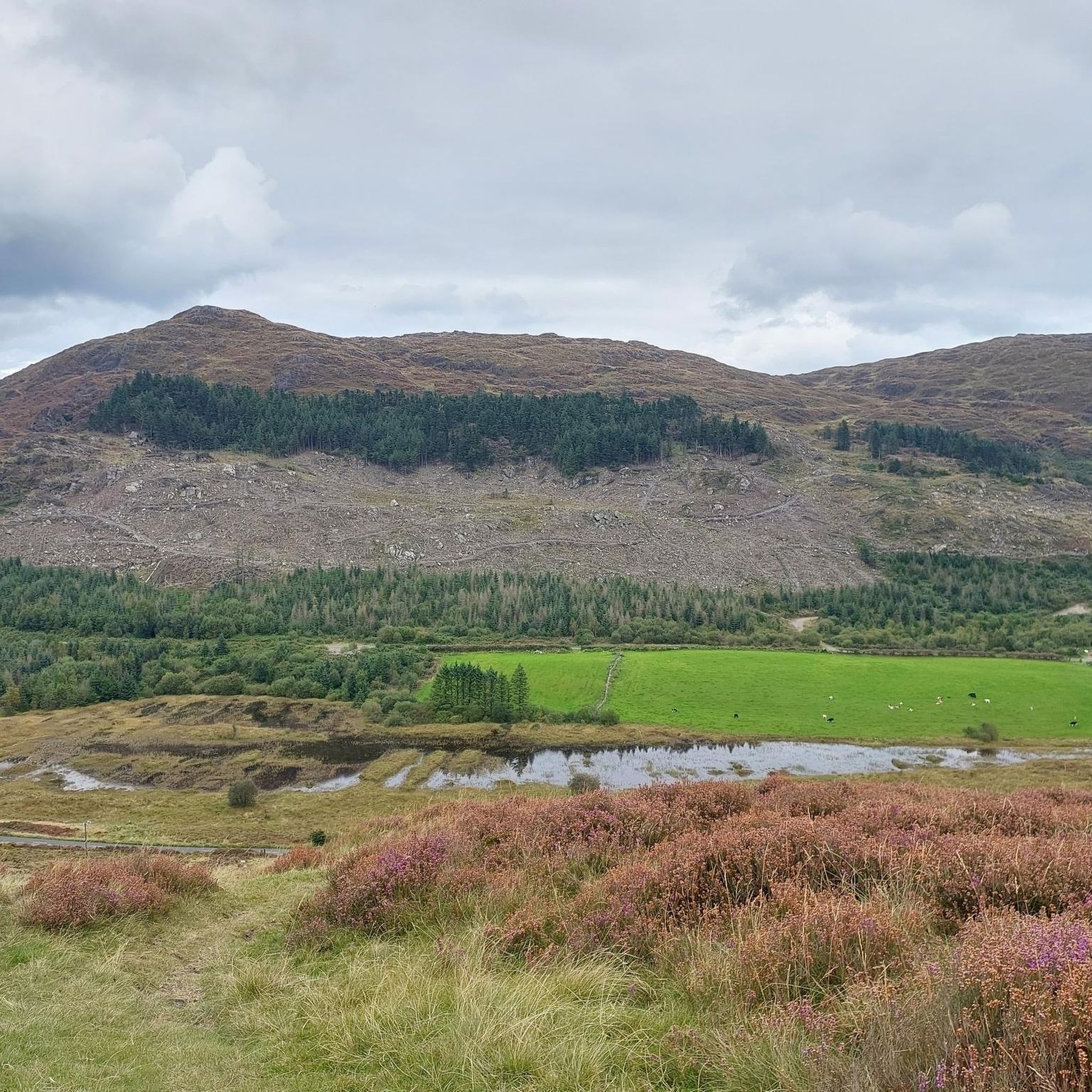
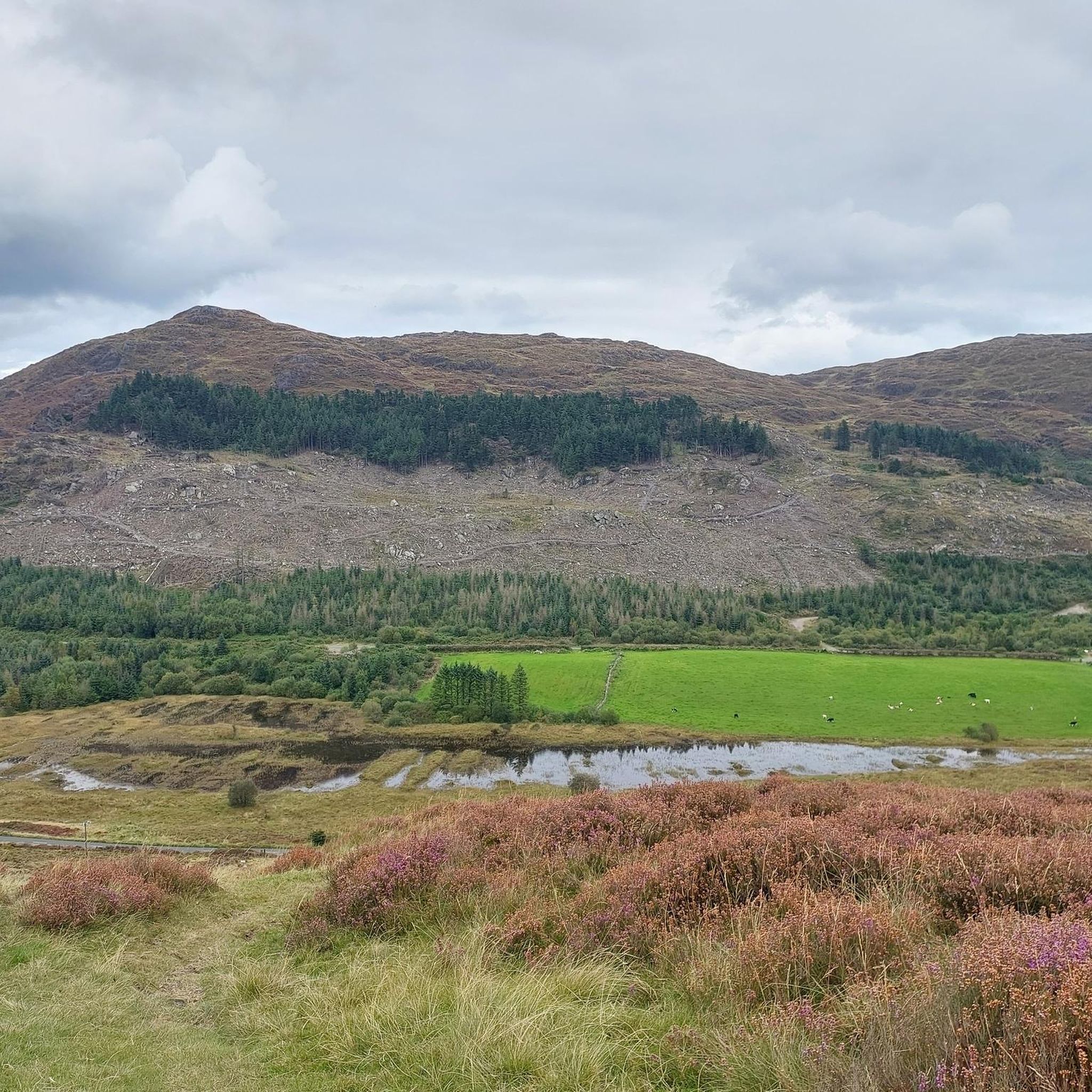
There are great views of Newry City, The Mourne Mountains, Carlingford Lough and The Cooley Moiuntains from up here. Flags were raised here to announce arriving boats coming into the lough, hence the name Flagstaff.
0
0

Frequently Asked Questions
How many road cycling routes are available around Clontygora?
There are over 180 road cycling routes available around Clontygora, catering to various skill levels. This includes 14 easy routes, 145 moderate routes, and 21 difficult routes, ensuring options for every cyclist.
What kind of terrain can I expect when road cycling in the Clontygora area?
The Clontygora area, situated within the rugged Slieve Gullion ring-dyke, offers varied terrain. You'll encounter green fields, hedgerows, and rolling hills, with routes providing both gentle stretches and more demanding inclines. The region is known for its dramatic geological formations and elevated vistas.
Are there any routes that offer views of the Mourne Mountains?
Yes, many routes in the Clontygora area provide incredible views of the majestic Mourne Mountains. For example, the The Rostrevor Route loop from Warrenpoint – Mourne offers direct views towards them, and the View of the Mourne Mountains loop from Burren is specifically designed for these scenic rewards.
What are some notable historical or natural attractions I can see along the road cycling routes?
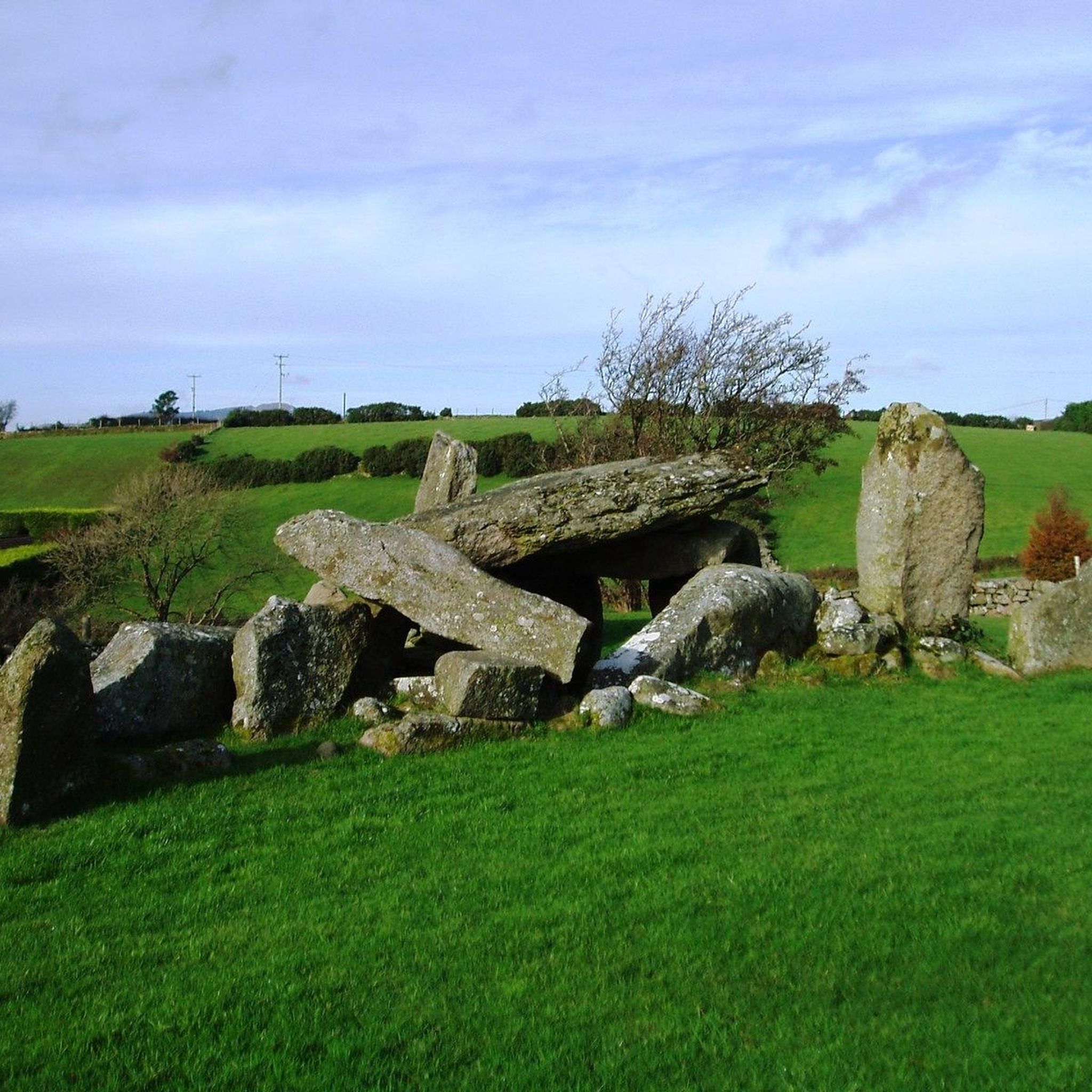
The region is rich in history and natural beauty. You can explore ancient sites like the Clontygora Court Tomb, also known as 'The King's Ring,' a megalithic monument over 6,000 years old. Natural highlights include the Slieve Gullion Summit and the unique Cloughmore Stone.
Are there any challenging road cycling routes for experienced cyclists?
Absolutely. For experienced cyclists seeking a challenge, the area offers routes with significant elevation changes. The Carlingford to Ballymascanlan loop from Flagstaff Viewpoint — Ring of Gullion is a difficult 86.2 km path that navigates the elevated terrain of the Ring of Gullion, featuring substantial climbs.
What do other road cyclists say about the routes in Clontygora?
The road cycling routes around Clontygora are highly rated by the komoot community, with an average score of 4.5 stars from over 50 reviews. More than 2,000 road cyclists have used komoot to explore the varied terrain, often praising the scenic landscapes and diverse route options.
Are there any shorter, easier road cycling routes suitable for beginners or a more relaxed ride?
Yes, there are several easier options. For a more relaxed ride, consider routes like the View of Dundalk Bay – Basecamp Coffee loop from Jonesborough, which is an easy 27.9 km trail with moderate elevation, perfect for beginners or those looking for a less strenuous outing.
Can I find circular road cycling routes in the Clontygora area?
Many of the road cycling routes around Clontygora are designed as loops, allowing you to start and finish in the same location. Examples include the Rostrevor Route loop from Warrenpoint and the Warrenpoint Shore Road – Climb by Rostrevor Forest loop from Warrenpoint.
What is the best time of year to go road cycling in Clontygora?
While road cycling is possible year-round, the spring and summer months (April to September) generally offer the most pleasant weather conditions for exploring Clontygora's scenic routes. During these seasons, you can expect milder temperatures and longer daylight hours, enhancing the enjoyment of the picturesque landscapes.
Are there any specific areas or regions near Clontygora known for good road cycling?
Beyond Clontygora itself, the wider County Armagh and the Ring of Gullion are excellent for road cycling. Areas like Killeen and Donaghaguy often feature in routes, benefiting from the region's diverse terrain and scenic beauty, including good road surfaces and panoramic views.
What are the typical distances of road cycling routes in Clontygora?
The distances of road cycling routes in Clontygora vary widely to suit different preferences. You can find routes ranging from shorter, easy rides around 20-30 km, to moderate routes typically between 30-70 km, and challenging long-distance rides that can exceed 80 km.
Are there opportunities to combine road cycling with exploring natural monuments?
Yes, the routes often pass by or offer access to significant natural monuments. For instance, you can cycle near the North Cairn of Slieve Gullion and Calliagh Beara's Lough, or the Slieve Foye Summit, providing opportunities to pause and appreciate the geological wonders of the area.
Most popular attractions around Clontygora

Get inspired with the komoot mobile app


Explore more
Browse the best Road cycling routes in other regions.
