The best mountain hikes around Seelisbergersee
4.9
(60)
525
hikers
26
hikes
Mountaineering routes around Seelisbergersee are characterized by their challenging alpine terrain, featuring prominent summits and steep ascents. The region offers a mix of rocky paths, climbing routes, and via ferratas, often providing expansive views of Lake Lucerne and the surrounding Swiss Alps. These routes frequently involve significant elevation changes, traversing diverse landscapes from forested slopes to exposed ridges.
Best mountaineering routes around Seelisbergersee
- The most popular mountaineering route is Tunnel Entrance T4 – Niderbauen-Chulm Summit loop from Seelisberg, a…
Last updated: October 10, 2026
7
hikers
11.7km
06:21
1,060m
1,060m
Hard mountaineering route. Very good fitness required. Sure-footedness, sturdy shoes and alpine experience required.
4.7
(3)
11
hikers
Hard mountaineering route. Good fitness required. Sure-footedness, sturdy shoes and alpine experience required.

5.0
(3)
39
hikers
11.3km
06:59
1,220m
1,220m
Hard mountaineering route. Very good fitness required. Sure-footedness, sturdy shoes and alpine experience required.
5.0
(4)
21
hikers
5.14km
03:08
640m
640m
Hard mountaineering route. Good fitness required. Sure-footedness, sturdy shoes and alpine experience required.
4.0
(2)
14
hikers
6.76km
03:30
640m
640m
Hard mountaineering route. Good fitness required. Sure-footedness, sturdy shoes and alpine experience required.
Get access to more routes and recommendations from other explorers.
Already have an account?
Our route recommendations are based on thousands of hikes, rides, and runs completed by other people on komoot.
Start today with a free account
Your next adventure awaits.
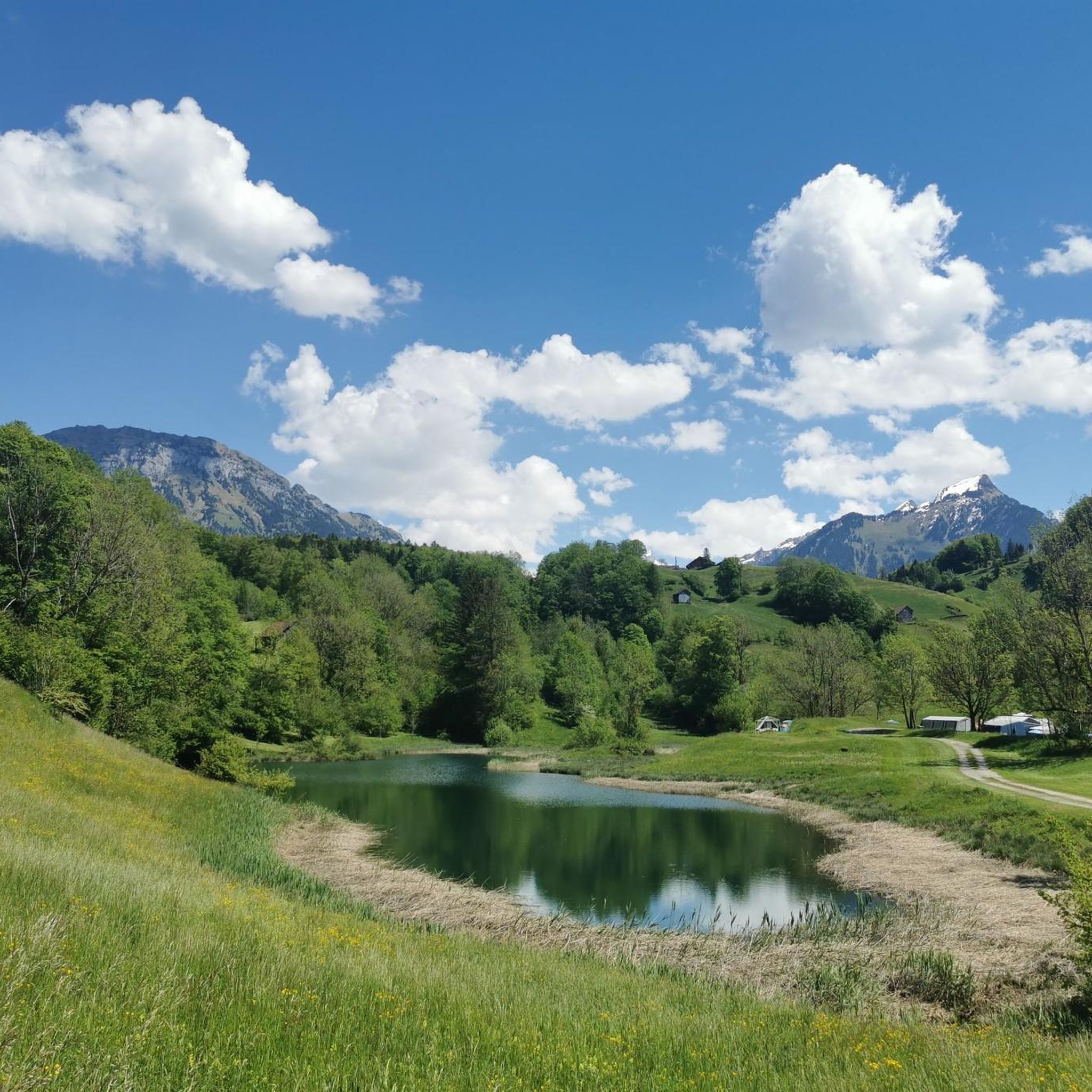
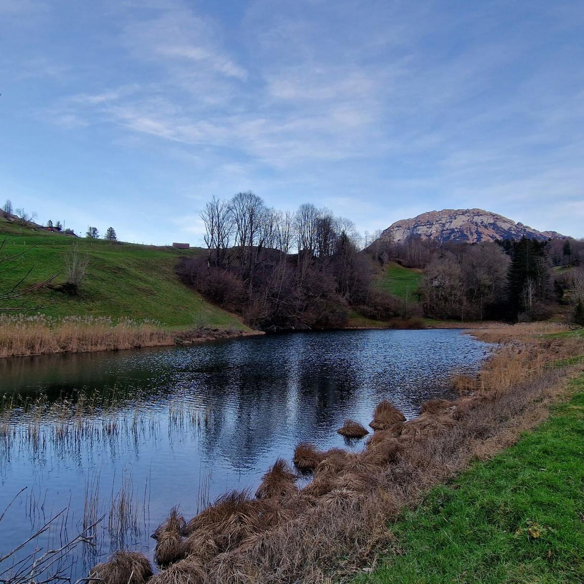
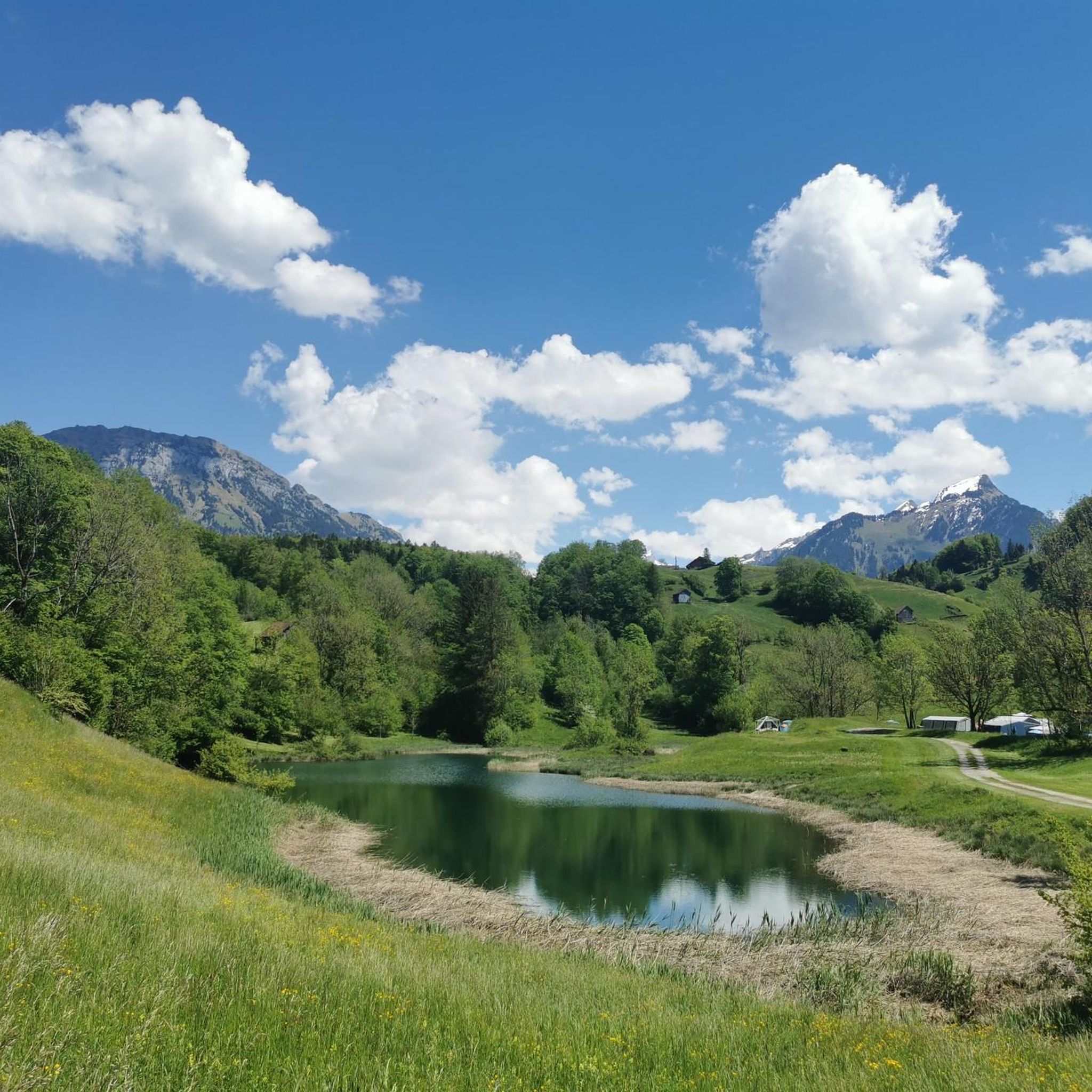
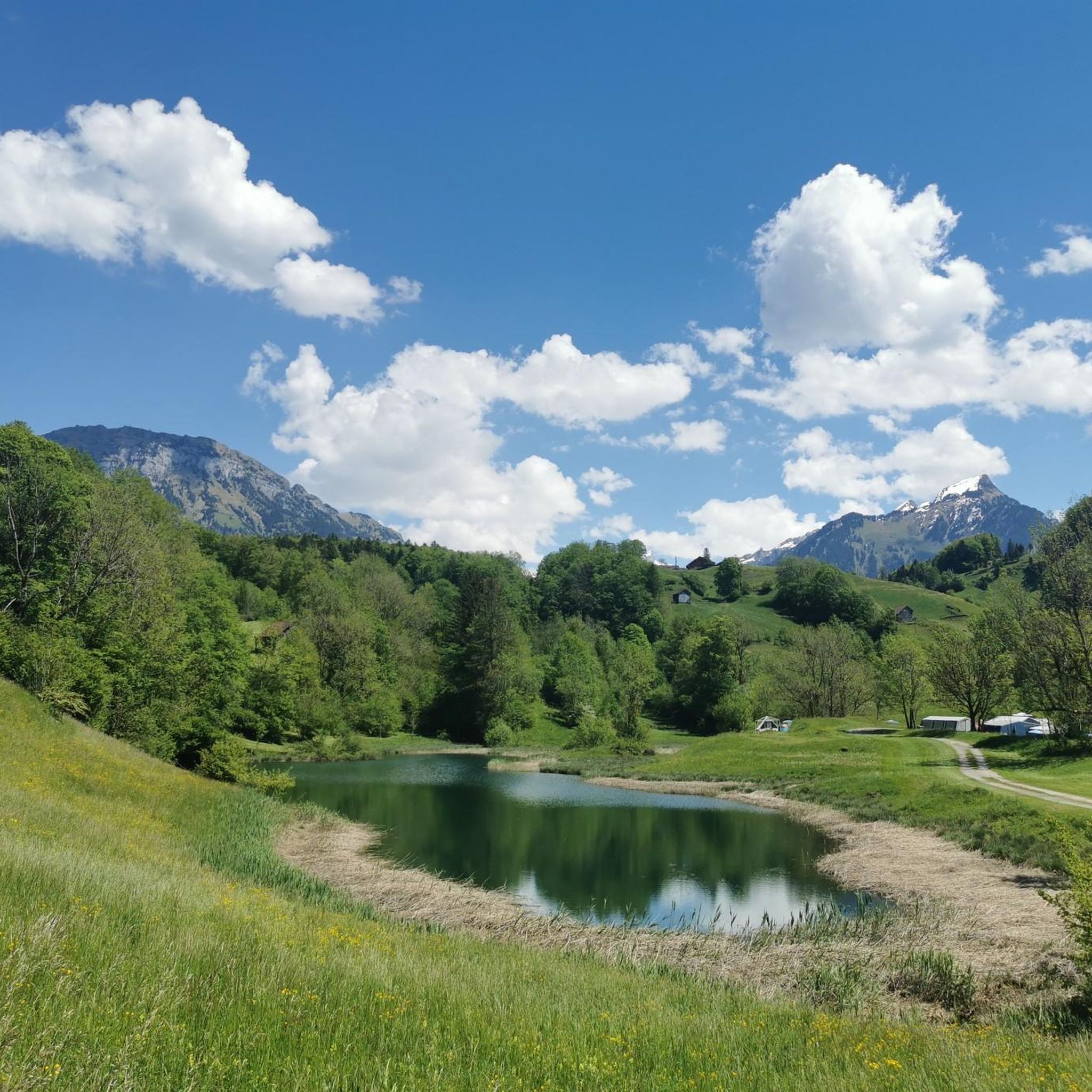
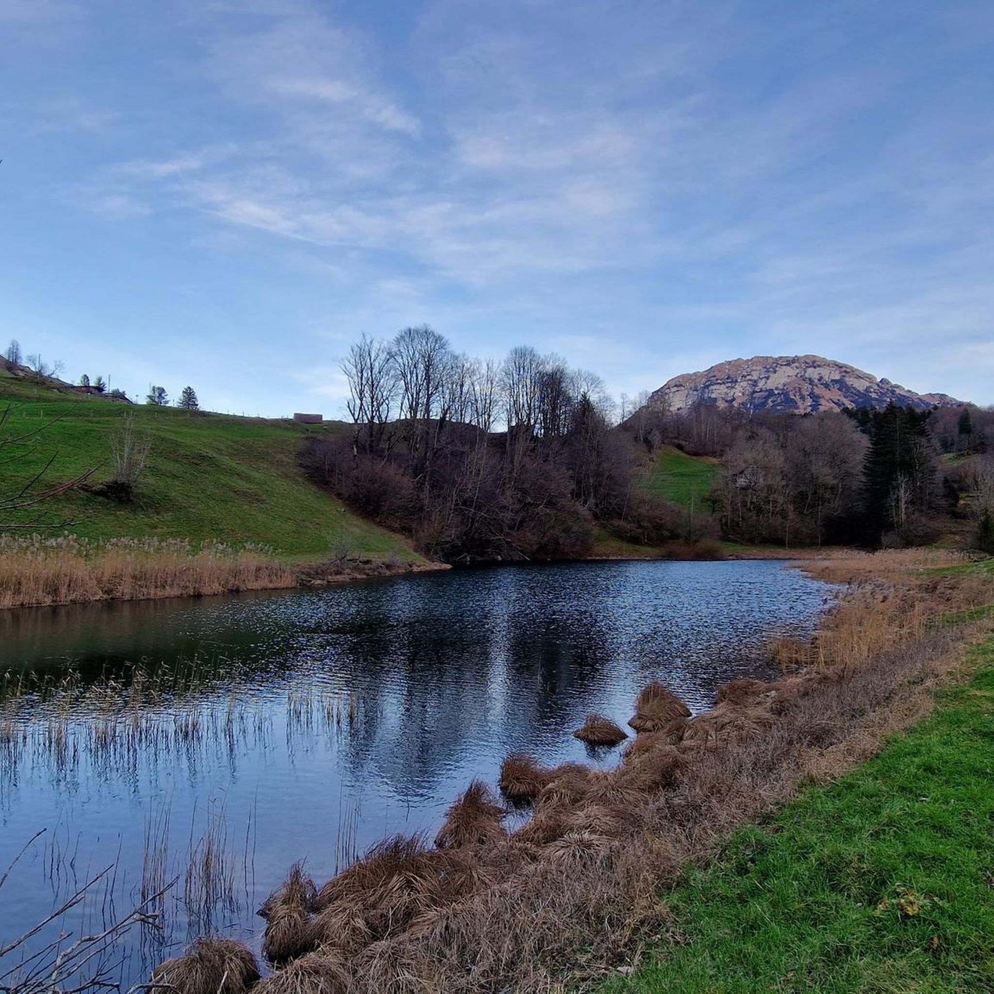
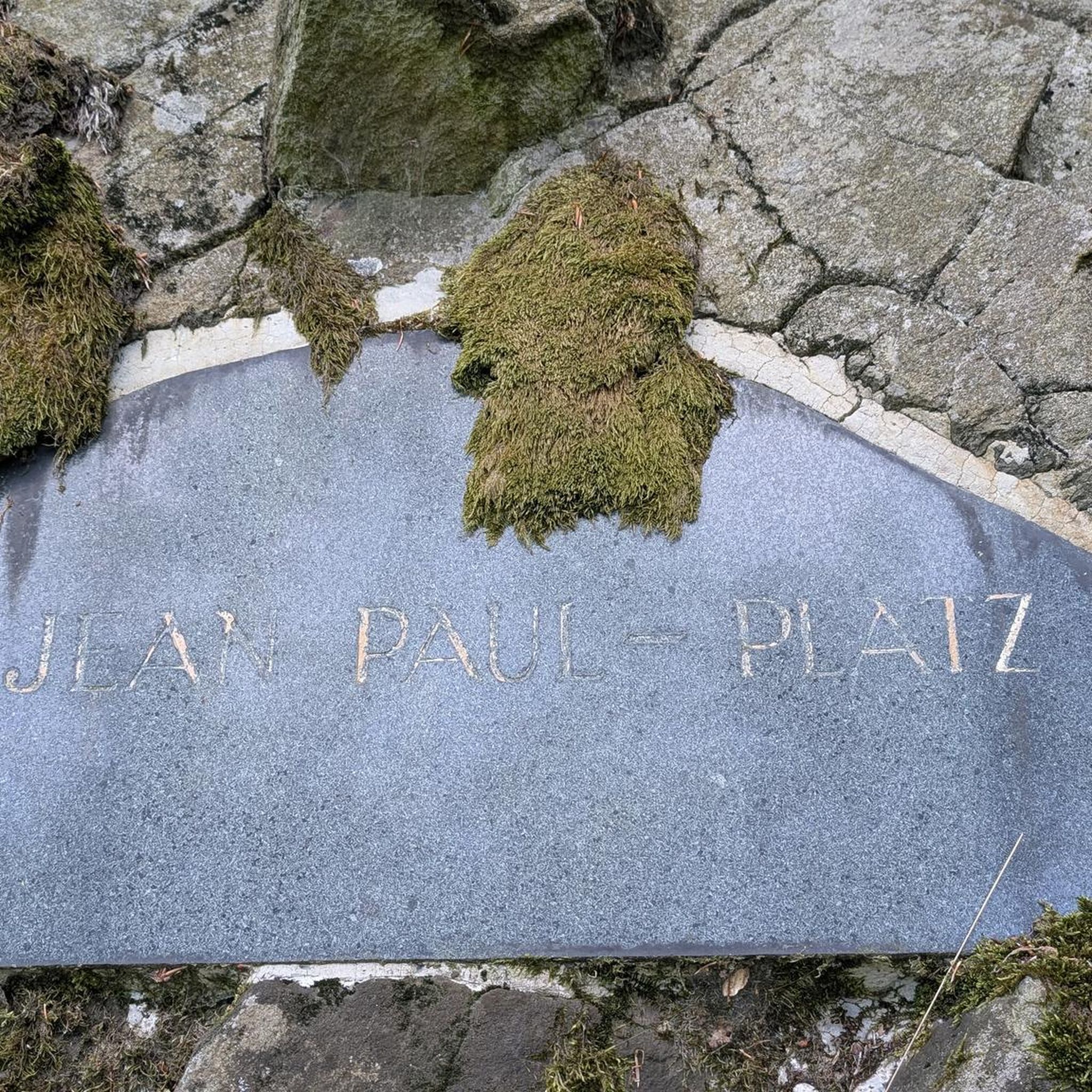
Tips from the Community

A beautiful and exciting trail with easy scrambling, guaranteed deep views, and a fantastic panorama in good weather. Always a great start to the season!
0
0

Exciting climb, easily manageable.
0
0
Beautiful climbing tour, secured with chains
0
0

T4 at 1100m above sea level - only for experienced hikers!
0
0

Small lift operation with friendly staff. Great view from the restaurant terrace.
0
0
Great view of Lake Lucerne and mountains
0
0

actually looked so far, the path is exposed, but still very beautiful..tiring
0
0
Frequently Asked Questions
What are the typical difficulty levels for mountaineering routes around Seelisbergersee?
The mountaineering routes in the Seelisbergersee region are primarily categorized as moderate or difficult. There are 8 moderate routes, offering scenic vistas and accessible challenges, while 20 difficult routes provide more demanding alpine experiences with significant elevation changes and technical sections. There are no easy mountaineering routes in this area.
How long do mountaineering trails near Seelisbergersee typically take to complete?
The duration of mountaineering trails around Seelisbergersee varies depending on the route's length and difficulty. For instance, the Tunnel Entrance T4 – Niderbauen-Chulm Summit loop from Seelisberg is a difficult 7.3-mile (11.7 km) route that typically takes around 6 hours and 21 minutes. A shorter, moderate option like the View of Lake Lucerne – Niderbauen-Chulm Summit loop from Niderbauen-Chulm covers 3.3 miles (5.3 km) and can be completed in about 2 hours and 17 minutes.
Are there any circular mountaineering routes available in the Seelisbergersee area?
Yes, many mountaineering routes around Seelisbergersee are designed as circular loops, allowing you to return to your starting point without retracing your steps. Examples include the challenging Stockflue Climbing Route – Hochflue Summit loop from Brunnen, which is a 6.9-mile (11.0 km) loop, and the Bützi Northwest Descent (T5) – Rigi Stockflue Via Ferrata loop from Brunnen, a 3.1-mile (5.1 km) loop that includes a via ferrata section.
What is the best time of year for mountaineering around Seelisbergersee?
The best time for mountaineering around Seelisbergersee is typically from late spring to early autumn (May to October). During these months, the weather is generally more stable, snow has melted from higher elevations, and trails are more accessible. Always check local weather forecasts and trail conditions before heading out, as alpine weather can change rapidly.
What do other mountaineers enjoy most about the routes in Seelisbergersee?
The mountaineering routes in Seelisbergersee are highly rated by the komoot community, with an average score of 4.9 stars from over 60 reviews. Reviewers often praise the challenging alpine terrain, the prominent summits, and the expansive views of Lake Lucerne and the surrounding Swiss Alps. The mix of rocky paths, climbing routes, and via ferratas also contributes to a varied and exciting experience.
Are there any advanced climbing routes or via ferratas in the Seelisbergersee region?
Yes, the Seelisbergersee region offers several advanced climbing routes and via ferratas for experienced mountaineers. For instance, the Stockflue Climbing Route – Hochflue Summit loop from Brunnen features challenging climbing terrain. Another option is the Bützi Northwest Descent (T5) – Rigi Stockflue Via Ferrata loop from Brunnen, which incorporates a via ferrata section for an exhilarating experience.
How many mountaineering routes are available in the Seelisbergersee area?
There are 28 distinct mountaineering routes available around Seelisbergersee. These routes offer a range of experiences, from moderate summit loops to difficult alpine climbs and via ferratas, catering to various skill levels within the mountaineering sport.
What kind of terrain can I expect on mountaineering routes near Seelisbergersee?
Mountaineering routes near Seelisbergersee are characterized by challenging alpine terrain. You can expect a diverse landscape featuring rocky paths, steep ascents, and exposed ridges. Many routes involve significant elevation changes, traversing from forested slopes to high-altitude viewpoints, often with breathtaking views of Lake Lucerne.
Are there any mountaineering routes suitable for beginners in the Seelisbergersee area?
While there are no routes specifically classified as 'easy' for mountaineering in Seelisbergersee, some of the moderate routes might be suitable for beginners with a good level of fitness and some prior hiking experience. The View of Lake Lucerne – Niderbauen-Chulm Summit loop from Niderbauen-Chulm is a moderate 3.3-mile (5.3 km) path that offers scenic vistas and could be a good introduction to the region's alpine environment.
What are some of the highest-rated mountaineering routes in Seelisbergersee?
The mountaineering routes in Seelisbergersee are generally highly regarded. Among the top-rated by the komoot community are the challenging Tunnel Entrance T4 – Niderbauen-Chulm Summit loop from Seelisberg, known for its demanding summit experience, and the scenic View of Lake Lucerne – Niderbauen-Chulm Summit loop from Niderbauen-Chulm, praised for its vistas. The Stockflue Climbing Route – Hochflue Summit loop from Brunnen is also a local favorite for its challenging climbing terrain.
Can I find routes that offer panoramic views of Lake Lucerne?
Absolutely. Many mountaineering routes in the Seelisbergersee region are renowned for their expansive panoramic views of Lake Lucerne and the surrounding Swiss Alps. The View of Lake Lucerne – Niderbauen-Chulm Summit loop from Niderbauen-Chulm is specifically highlighted for its scenic vistas, and other summit routes like the Tunnel Entrance T4 – Niderbauen-Chulm Summit loop from Seelisberg also provide stunning perspectives.
Most popular routes around Seelisbergersee

Get inspired with the komoot mobile app


Explore more
Browse the best Mountain Hikes & Routes in other regions.
