The best road cycling routes around Cavertitz
4.7
(125)
1,676
riders
262
rides
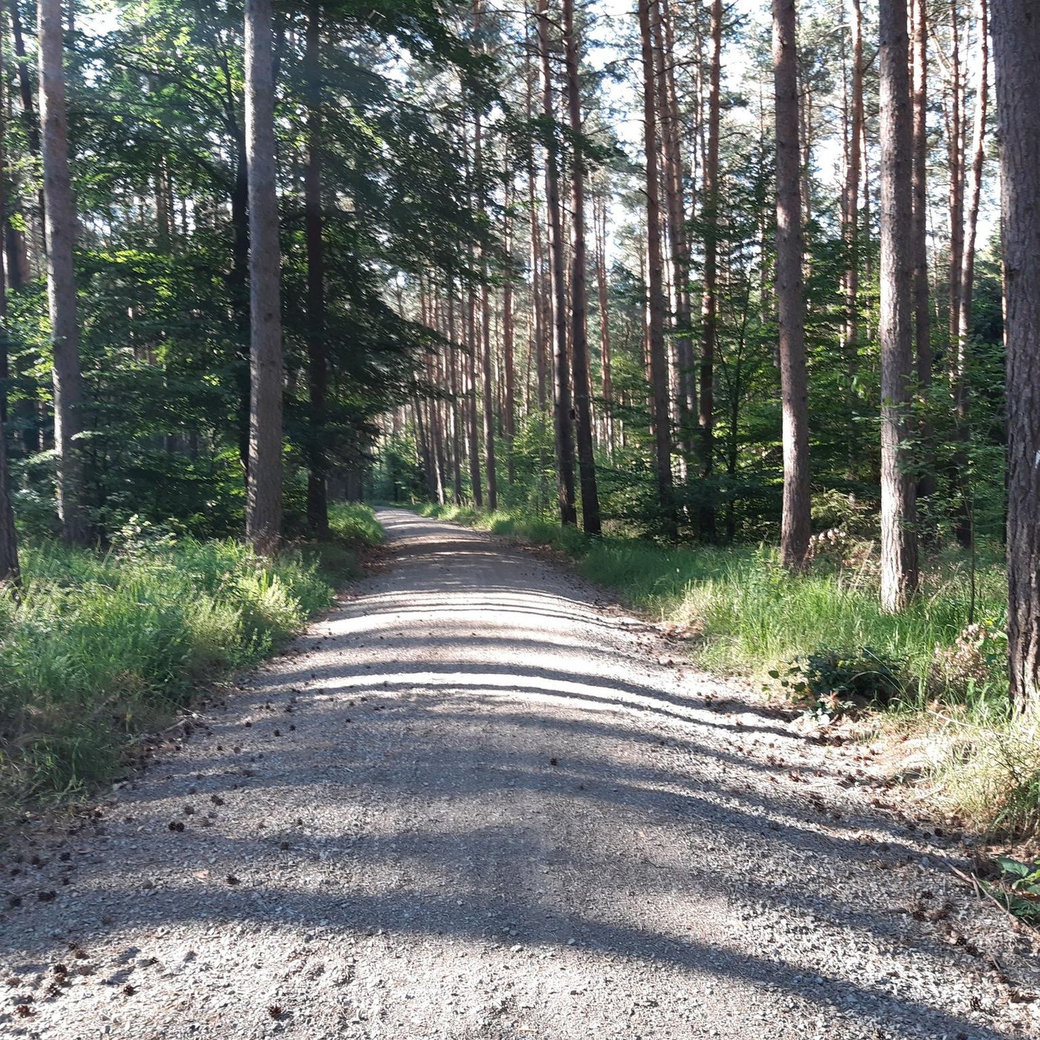
Road cycling routes around Cavertitz offer a varied landscape in Nordsachsen, Saxony, Germany. The region features well-maintained roads that traverse both agriculturally intensive areas and refreshing pine forests, particularly noticeable towards the Brandenburg border. Cyclists can expect a mix of open fields and wooded sections, providing a dynamic backdrop for rides. The terrain generally includes gentle undulations, with some routes featuring moderate elevation gains.
Best road cycling routes around Cavertitz
- The most popular road cycling route is Elbe Cycle Path – Elbe Bridge at Mühlberg loop from Paußnitz, a 45.6 miles (73.4 km) trail that takes 2 hours 52 minutes to complete. This route follows sections of the Elbe Cycle Path, offering scenic river views.
- Another top favourite among local road cyclists is Elbe Bridge at Mühlberg – Mühlberg Castle loop from Cavertitz, a moderate 33.0 miles (53.1 km) path. This route includes views of Mühlberg Castle and the surrounding river landscape.
- Local road cyclists also love the Elbe Bridge at Mühlberg – Strehla Ferry loop from Paußnitz, a 40.1 miles (64.6 km) trail leading through the Elbe river region, often completed in about 2 hours 34 minutes.
- Road cycling around Cavertitz is defined by agricultural land, pine forests, and well-maintained roads along the Elbe river. The network offers options for various ability levels, from easy rides on paved surfaces to more challenging routes with moderate elevation.
- The routes in Cavertitz are highly rated by the komoot community with an average score of 4.7 stars from over 100 reviews. More than 1600 road cyclists have used komoot to explore Cavertitz's varied terrain.
Last updated: May 14, 2026
5.0
(2)
26
riders
72.6km
02:49
140m
140m
Moderate road ride. Good fitness required. Some segments of this route may be unpaved and difficult to ride.
5.0
(1)
11
riders
53.6km
02:17
170m
170m
Moderate road ride. Good fitness required. Some segments of this route may be unpaved and difficult to ride.

Sign up for free
5.0
(1)
11
riders
64.6km
02:34
130m
130m
Moderate road ride. Good fitness required. Some segments of this route may be unpaved and difficult to ride.
9
riders
Moderate road ride. Good fitness required. Some segments of this route may be unpaved and difficult to ride.
8
riders
43.1km
02:19
210m
210m
Moderate road ride. Good fitness required. Some segments of this route may be unpaved and difficult to ride.
Get access to more routes and recommendations from other explorers.
Sign up for free
Already have an account?
Our route recommendations are based on thousands of hikes, rides, and runs completed by other people on komoot.
Start today with a free account
Your next adventure awaits.
Login or Signup

Other adventures around Cavertitz

Tips from the Community

Bridgehead, fortress, prison, and execution site ... only accessible with a guided tour!
0
0

Unfortunately, it is dilapidated and cannot be visited due to the danger of collapse...
0
0

interesting bridge, interesting design
0
0

When driving across, the view is somewhat restricted by the slabs – but it's easy to cross the river :)
1
0

here there is a beautiful view of the Elbe
0
0

Bridge over the harbor entrance to Torgau harbor
2
0
Frequently Asked Questions
How many road cycling routes are available around Cavertitz?
You can explore over 260 road cycling routes around Cavertitz. These routes offer a diverse experience, ranging from easy rides to more challenging excursions with moderate elevation gains.
What kind of terrain and landscapes will I encounter on road cycling routes in Cavertitz?
Road cycling in Cavertitz features a varied landscape. You'll find well-maintained roads traversing both open agricultural areas, like the Lommatzscher Pflege, and refreshing pine forests, especially towards the Brandenburg border. The scenic road between Treptitz and Wohlau is particularly noted for its good asphalt and pleasant surroundings.
Are there road cycling routes suitable for beginners or families in Cavertitz?
Yes, Cavertitz offers routes for various ability levels. While many routes require good fitness, there are also easier options primarily on well-paved surfaces that are suitable for beginners or families looking for a relaxed ride. The region's gentle undulations make it accessible for those new to road cycling.
What are some notable landmarks or attractions I can see along the road cycling routes?
Many routes offer scenic views and pass by interesting points. For instance, the Elbe Bridge at Mühlberg – Mühlberg Castle loop from Cavertitz provides views of Mühlberg Castle. You can also find natural attractions like Carl Pond (Silver Lake) or Kiessee Liebersee nearby, which can be incorporated into your rides.
Are there any circular road cycling routes around Cavertitz?
Yes, many of the road cycling routes around Cavertitz are designed as loops, allowing you to start and finish at the same point. Examples include the popular Elbe Cycle Path – Elbe Bridge at Mühlberg loop from Paußnitz and the Elbe Bridge at Mühlberg – Strehla Ferry loop from Paußnitz.
What is the best time of year for road cycling in Cavertitz?
The region is generally pleasant for road cycling, but spring and autumn often offer the most comfortable temperatures and beautiful scenery. The well-maintained roads are suitable for cycling throughout much of the year, though checking local weather patterns is always advisable.
What do other road cyclists enjoy most about the routes in Cavertitz?
The road cycling routes in Cavertitz are highly rated by the komoot community, with an average score of 4.7 stars from over 100 reviews. Cyclists often praise the varied terrain, the well-maintained asphalt, and the refreshing mix of open fields and pine forests, particularly along the Elbe river region.
Are there places to stop for refreshments or food along the routes?
While specific cafes directly on every route are not detailed, the broader area around Cavertitz offers options. For example, the Hospitalhütte Forest Restaurant is a nearby option that could be a good stop during a longer ride.
Where can I find parking for my car when starting a road cycling route in Cavertitz?
While specific parking locations are not detailed for every route, Cavertitz and surrounding towns typically offer public parking options. It's advisable to check the starting point of your chosen route on komoot for any specific parking recommendations or nearby facilities.
What is the typical elevation gain on road cycling routes in Cavertitz?
The routes in Cavertitz generally feature gentle undulations. While some routes are relatively flat, others include moderate elevation gains. For example, the Collmer Linde – View of Collm Hill loop from Bucha has an elevation gain of over 250 meters, offering a more challenging climb.
Can I reach Cavertitz by public transport to start a cycling tour?
While Cavertitz is primarily accessed by car, local public transport options may connect to nearby larger towns. For specific details on public transport connections that accommodate bicycles, it's best to consult regional transport schedules.
Most popular attractions around Cavertitz

Get inspired with the komoot mobile app


Explore more
Browse the best Road cycling routes in other regions.
