The best cycling routes around Embalse de la Tajera
5.0
(1)
11
riders
4
rides
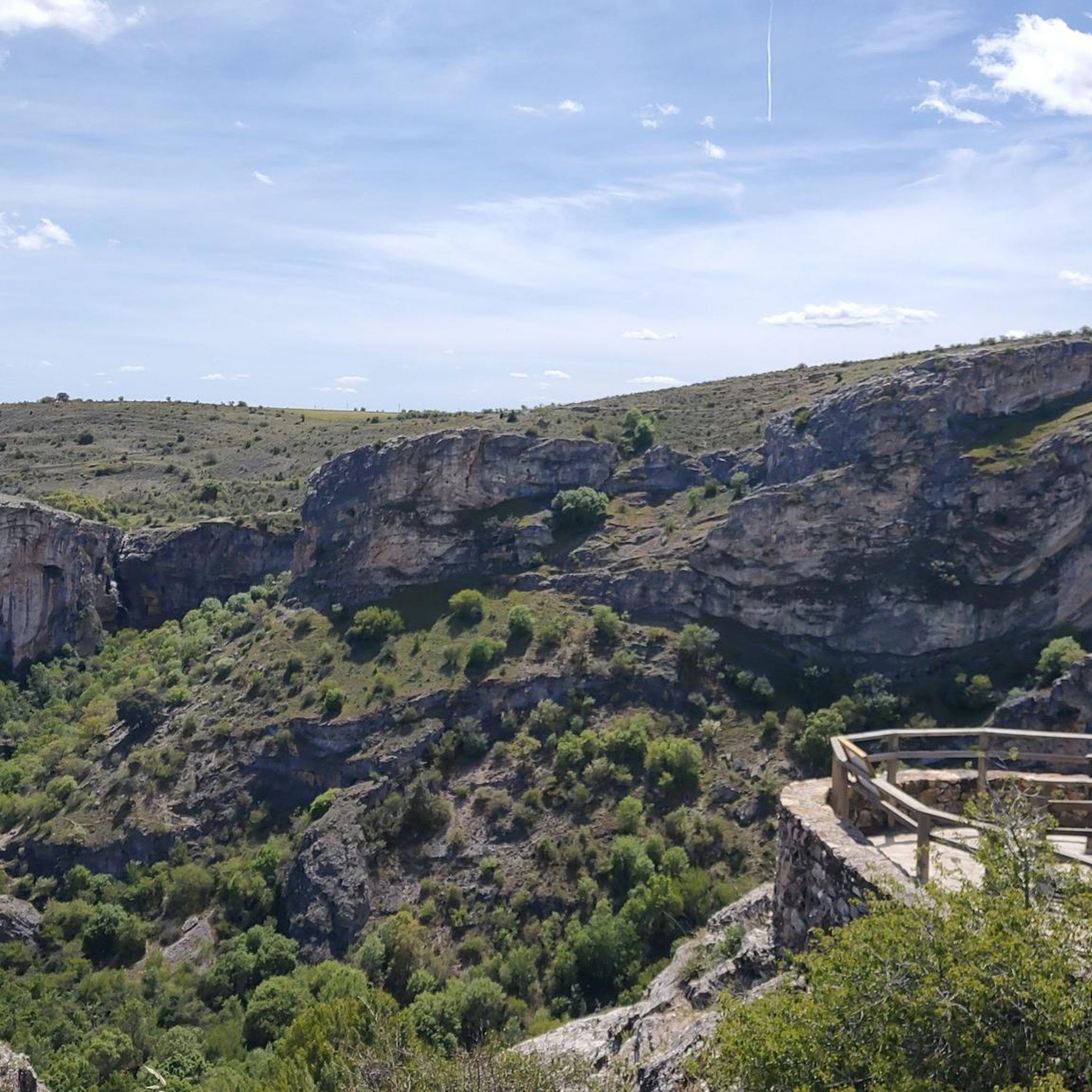
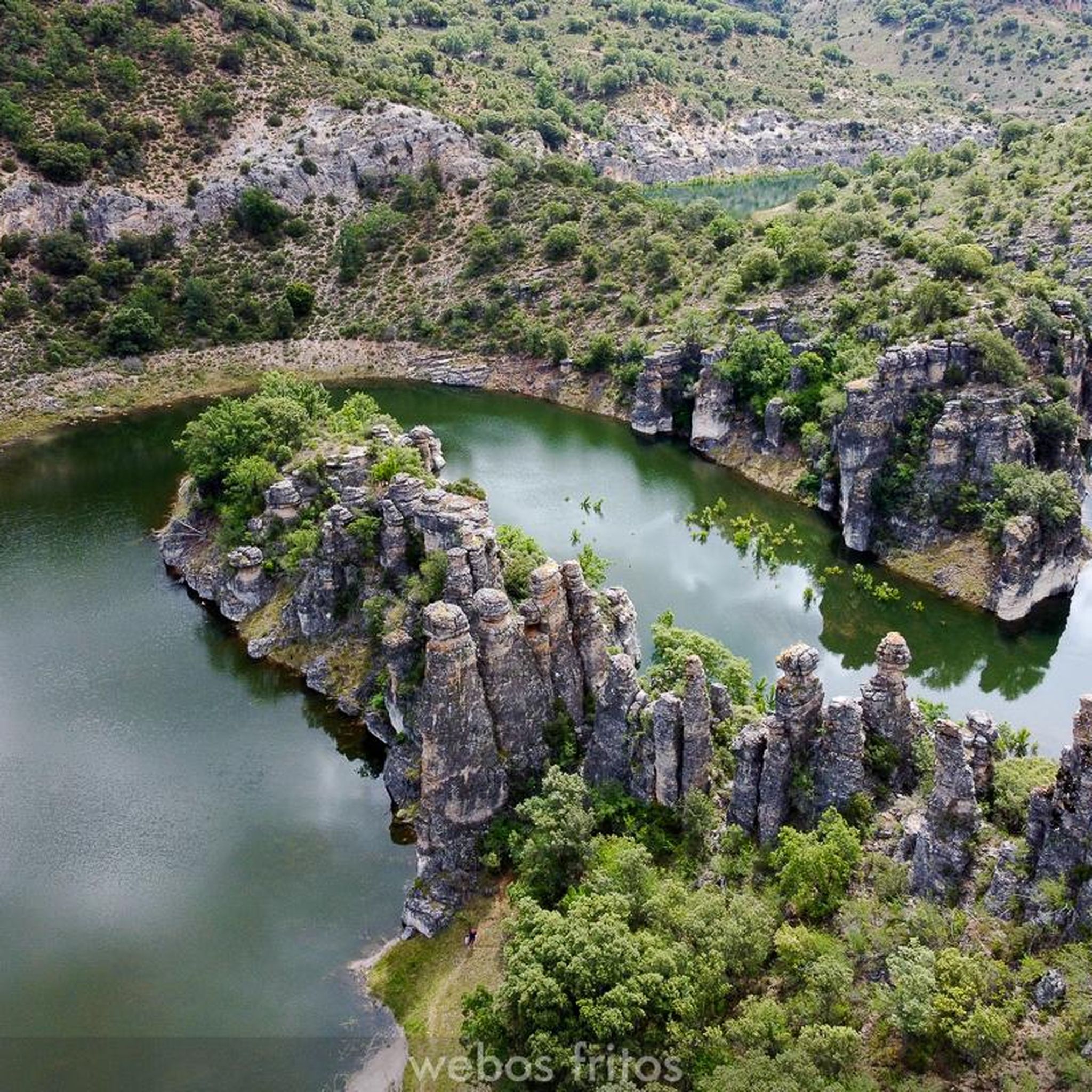
Touring cycling around Embalse de la Tajera features routes through diverse landscapes shaped by the Tajuña River. The region is characterized by the clear waters of the reservoir, surrounded by forests of holm oaks and junipers. Further along the Tajuña River, the terrain transitions into high-altitude moorlands, deep valleys, and dramatic limestone gorges, particularly within the Alto Tajo Natural Park. High plateaus and dense pine forests also define the area's varied topography.
Best touring cycling routes around Embalse de la Tajera
- The most popular touring cycling route is Cifuentes – Castle of Don Juan Manuel loop from Cifuentes, a 9.1 miles (14.7 km) trail that takes 1 hour 11 minutes to complete, offering views of historical sites and the surrounding countryside.
- Another top favourite among local touring cyclists is Castillo de Don Juan Manuel – Cifuentes loop from Cifuentes, a difficult 18.5 miles (29.7 km) path featuring significant elevation gain through varied terrain.
- Local touring cyclists also love the Cifuentes River Waterfall – Trillo loop from Cifuentes, a 23.8 miles (38.3 km) trail leading through river valleys and past natural features, often completed in about 3 hours 27 minutes.
- Touring cycling around Embalse de la Tajera is defined by clear reservoir waters, holm oak forests, and limestone canyons, with routes offering options for different ability levels.
- The routes in Embalse de la Tajera are highly rated by the komoot community with an average score of 5.0 stars from 1 review. 6 touring cyclists have used komoot to explore Embalse de la Tajera's varied terrain.
Last updated: July 11, 2026
5.0
(1)
2
riders
13.9km
01:09
210m
210m
Moderate bike ride. Good fitness required. Mostly paved surfaces. Suitable for all skill levels.
1
riders
29.8km
02:36
520m
520m
Hard bike ride. Very good fitness required. Mostly paved surfaces. Suitable for all skill levels.

Sign up for free
2
riders
37.2km
03:24
500m
500m
Hard bike ride. Very good fitness required. Mostly paved surfaces. Suitable for all skill levels.
Our route recommendations are based on thousands of hikes, rides, and runs completed by other people on komoot.
Start today with a free account
Your next adventure awaits.
Login or Signup
Popular around Embalse de la Tajera
Tips from the Community

First checkpoint on the route from Madrid to Barcelona. In the main square we find places to get supplies and rest.
0
0

the bridge over the Tagus when it is still a modest river at its junction with the Cifuentes River
0
0

The bridge is of medieval origin and already in the 16th century it attracted attention for having only one eye, very firm and of great beauty.
10
0

The Cifuentes River creates this beautiful waterfall as it passes through the town of Trillo. It is a luxury to have this spectacle of nature in the same urban area.
1
0

Moranchel is a small hamlet in the Alcarreña town of Cifuentes. It is located on the route of the Ruta de la Lana and has a curious historic center that is currently decorated with murals on the houses.
0
0

Walk around the 14th century fortress, built by Don Juan Manuel. The castle has five towers, dominates the landscape and dominates the village below.
2
0

This bridge dates from the mid-16th century, but it is possible that an earlier bridge existed. It crosses the Tagus river that passes through the center of the town. It is the center of the city and several nice hiking trails pass through it.
1
0

Moranchel is a Spanish EATIM from the municipality of Cifuentes, in the province of Guadalajara. Locality located on the Lana Route, between Cifuentes and Las Inviernas.
0
1
Frequently Asked Questions
How many touring cycling routes are available around Embalse de la Tajera?
There are currently 3 touring cycling routes documented around Embalse de la Tajera, offering a range of experiences from moderate to difficult.
What kind of terrain can I expect on touring cycling routes in this region?
The terrain around Embalse de la Tajera is diverse. You'll find routes through forests of holm oaks and junipers near the reservoir, transitioning to high-altitude moorlands, deep valleys, and dramatic limestone gorges further along the Tajuña River, especially within the Alto Tajo Natural Park. Expect a mix of forest tracks, rocky outcrops, and sometimes significant elevation changes.
Are there any family-friendly touring cycling routes near Embalse de la Tajera?
While the listed routes include moderate and difficult options, the region offers potential for family-friendly cycling. The Vía Verde del Tajuña, a paved path on a former railway line, provides a smoother and more accessible experience, though it starts a bit further away in La Poveda and extends into Guadalajara province. For a moderate option, consider the Cifuentes – Castle of Don Juan Manuel loop from Cifuentes.
What are some notable natural features or landmarks I can see while cycling?
Cyclists can enjoy the clear, turquoise waters of Embalse de la Tajera itself, surrounded by holm oak and juniper forests. Further afield, the Tajuña River carves through impressive limestone gorges and canyons, particularly within the Alto Tajo Natural Park. You might also encounter wide meadows, lush poplar groves, and unique rock formations. The dam, standing almost 70 meters high, offers scenic views.
Are there any circular touring cycling routes in the area?
Yes, all the listed touring cycling routes are circular. For example, you can explore the Cifuentes – Castle of Don Juan Manuel loop from Cifuentes, which is a moderate 14.7 km ride, or the more challenging Castillo de Don Juan Manuel – Cifuentes loop from Cifuentes covering 29.7 km.
What is the best time of year to go touring cycling around Embalse de la Tajera?
The region is generally pleasant for cycling during spring and autumn when temperatures are milder. Summer can be hot, especially in the open areas, while winter might bring colder conditions, particularly in the higher altitude sections of the Alto Tajo Natural Park. Always check local weather forecasts before heading out.
What do other touring cyclists say about the routes in Embalse de la Tajera?
The touring cycling routes in Embalse de la Tajera are highly rated by the komoot community, with an average score of 5.0 stars. Cyclists often praise the varied terrain, the scenic beauty of the reservoir, and the challenging yet rewarding climbs found on some of the longer routes.
Are there any routes that pass by waterfalls?
Yes, the Cifuentes River Waterfall – Trillo loop from Cifuentes is a 38.3 km difficult route that leads through river valleys and past natural features, including the Cifuentes River Waterfall.
Can I find places to eat or stay near the cycling routes?
Yes, the region has charming villages such as Cifuentes, Brihuega, and El Sotillo, which are often located along or near cycling routes. These villages can serve as convenient stops for cyclists, offering cultural insights, local gastronomy, and amenities like cafes, pubs, and accommodation.
What are the options for public transport to access cycling routes around Embalse de la Tajera?
Public transport options directly to the Embalse de la Tajera area for cyclists with bikes might be limited. It's advisable to research local bus services or train connections to nearby towns like Cifuentes or Trillo and check their bike carriage policies. Many cyclists prefer to drive to a starting point and park.
Is parking available for cyclists at the starting points of routes?
While specific parking facilities for each route are not detailed, starting points in villages like Cifuentes typically offer public parking options. It's recommended to check parking availability in the specific village you plan to start your ride from.
Are there any particularly challenging touring cycling routes in the area?
Yes, the region offers challenging routes with significant elevation gain. The Castillo de Don Juan Manuel – Cifuentes loop from Cifuentes, at 29.7 km, and the Cifuentes River Waterfall – Trillo loop from Cifuentes, at 38.3 km, are both rated as difficult and feature substantial climbs.
Most popular routes around Embalse de la Tajera

Get inspired with the komoot mobile app


Explore more
Browse the best Cycling routes in other regions.
