The best walks and hikes around Pantano de la Tranquera
4.8
(50)
462
hikers
18
hikes
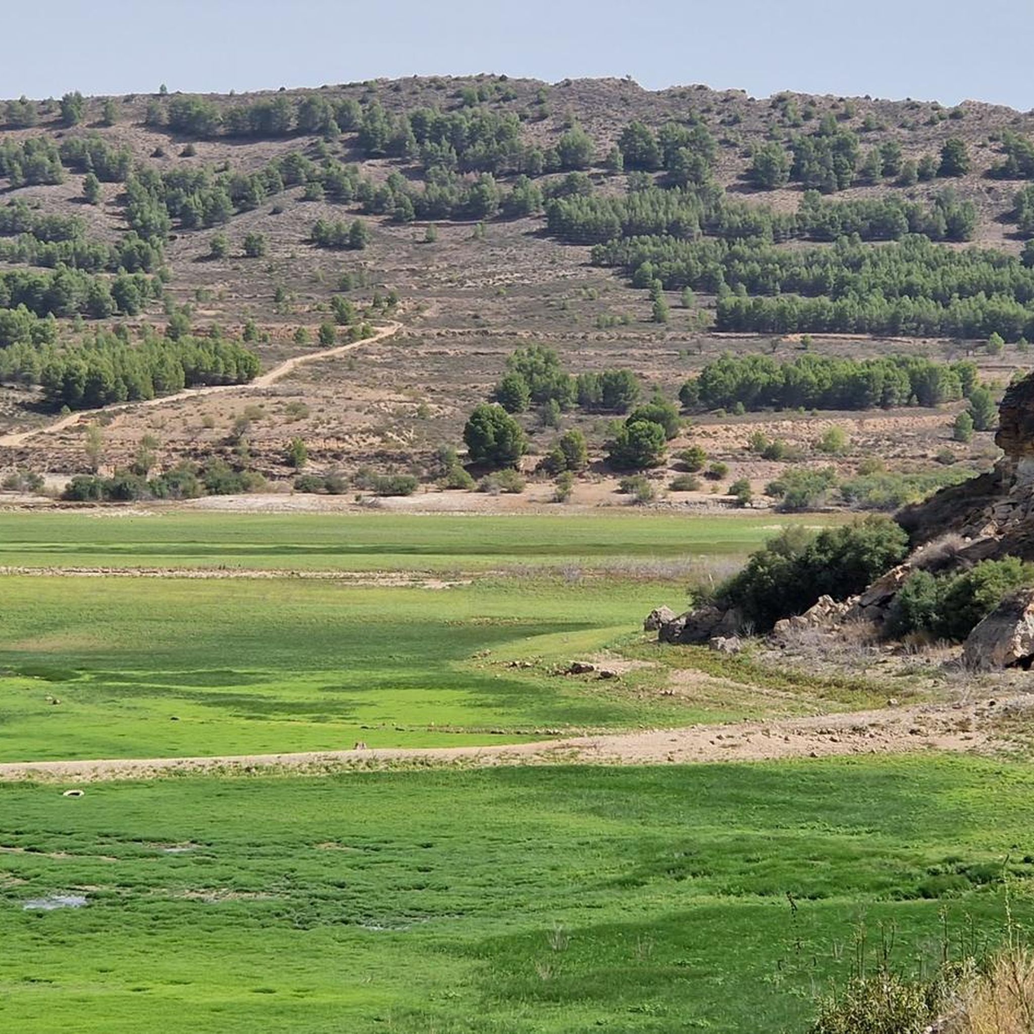
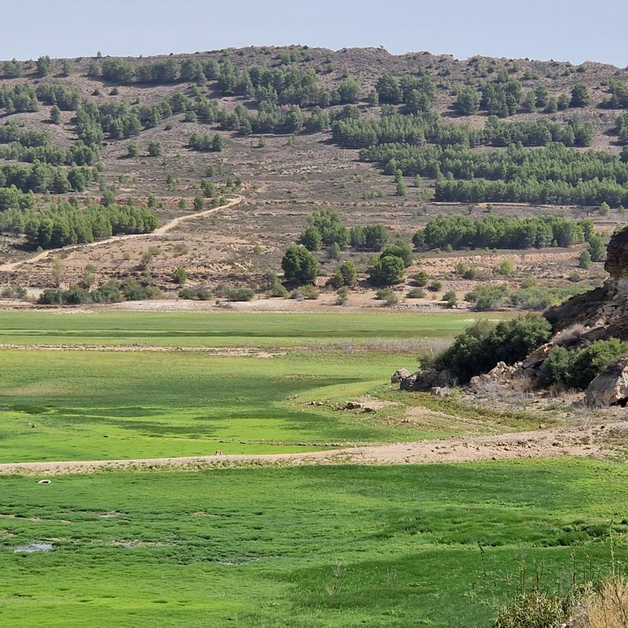
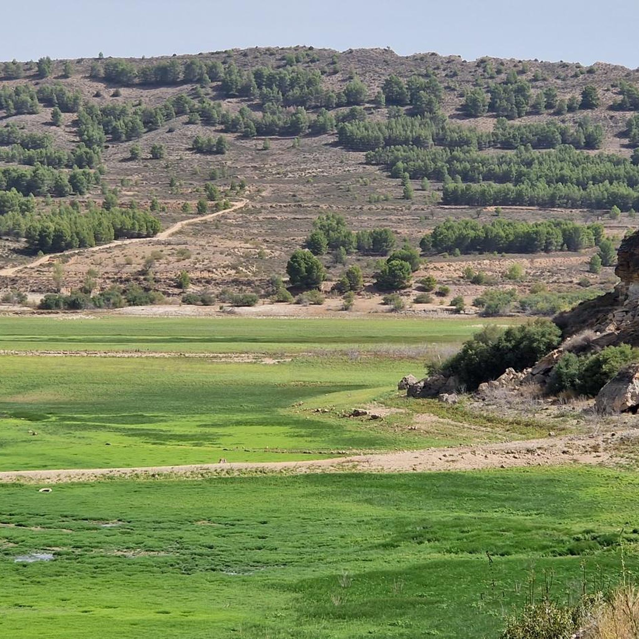
Hiking around Pantano de la Tranquera offers diverse landscapes centered on the Embalse de la Tranquera, a large reservoir formed by the Piedra and Mesa rivers. The area is characterized by striking red rock formations along the irregular shores, surrounded by tranquil pine forests. This region, the largest wetland in the Calatayud area, provides a variety of trails through its unique blend of water, rock, and vegetation.
Best hiking trails around Pantano de la Tranquera
- The most popular hiking route is Cerro Somé Trail, an 8.1 miles (13.1 km) trail that takes 3 hours 47 minutes to complete, offering panoramic views of the reservoir.
- Another top favourite among local hikers is Hiking loop from Nuévalos, a moderate 6.5 miles (10.5 km) path. This route explores the varied terrain around the reservoir, including forested sections and open vistas.
- Local hikers also love the La Caprichosa Waterfall – Iris Waterfall loop from Ibdes, an 8.1 miles (13.0 km) trail leading through river valleys and past waterfalls, often completed in about 3 hours 40 minutes.
- Hiking around Pantano de la Tranquera is defined by reservoir views, red rock formations, and pine forests. The network offers options for different ability levels, from moderate loops to more challenging routes.
- The routes in Pantano de la Tranquera are highly rated by the komoot community with an average score of 4.8 stars from over 50 reviews. More than 400 hikers have used komoot to explore Pantano de la Tranquera's varied terrain.
Last updated: May 12, 2026
3.7
(3)
4
hikers
13.1km
03:48
330m
330m
Moderate hike. Good fitness required. Easily-accessible paths. Suitable for all skill levels.
5.0
(1)
13
hikers
13.0km
03:40
270m
270m
Moderate hike. Good fitness required. Easily-accessible paths. Suitable for all skill levels.

Sign up for free
4.3
(3)
16
hikers
10.5km
03:04
280m
280m
Moderate hike. Good fitness required. Easily-accessible paths. Suitable for all skill levels.
4.5
(2)
6
hikers
10.9km
03:00
190m
190m
Moderate hike. Good fitness required. Easily-accessible paths. Suitable for all skill levels.
6
hikers
6.49km
02:03
270m
270m
Moderate hike. Good fitness required. Easily-accessible paths. Suitable for all skill levels.
Get access to more routes and recommendations from other explorers.
Sign up for free
Already have an account?
Our route recommendations are based on thousands of hikes, rides, and runs completed by other people on komoot.
Start today with a free account
Your next adventure awaits.
Login or Signup
Popular around Pantano de la Tranquera
Tips from the Community

Definitely a beautiful place to enjoy nature and panoramic views! 🏞️🌅
3
0
The La Tranquera Reservoir in Nuévalos is a spectacular place to enjoy nature and panoramic views. Inaugurated in 1959, the reservoir was designed to regulate the flow of the Piedra River and ensure the water supply in the region.
2
0
Definitely a beautiful place to enjoy nature and panoramic views! 🏞️🌅
4
0
A beautiful moss-covered waterfall, about 12 meters high.
5
0
The largest waterfall, with a height of approximately 50 meters.
1
0
The Chorreaderos Waterfall is one of the nine named waterfalls in the Monasterio de Piedra Natural Park, near Nuévalos. In addition to the waterfalls, you can also visit the monastery, which was built in 1194. The Monasterio de Piedra Natural Park offers a surprising landscape with paths and trails that cross waterfalls, streams, lakes and caves, all in the shade of trees. centuries-old and an exceptional variety of flora and fauna. Definitely a place to explore! 🌿🏞️
2
0

Entry costs €18!
1
0

Top location in the Parc Monasterio de Piedra, where you can happily take good photos. It's worth it.
2
0
Frequently Asked Questions
What types of hiking trails can I find around Pantano de la Tranquera?
The Pantano de la Tranquera area offers a diverse range of hiking trails suitable for various fitness levels. You'll find 6 easy routes, 12 moderate routes, and 1 more challenging option. The landscape features striking red rock formations, tranquil pine forests, and panoramic views of the reservoir.
Are there any easy or family-friendly hiking options?
Yes, there are 6 easy routes around Pantano de la Tranquera, perfect for families or those seeking a relaxed walk. These paths often provide accessible ways to enjoy the reservoir's scenery and natural beauty without significant elevation gain.
Can I find circular hiking routes in the area?
Absolutely. Many of the trails around Pantano de la Tranquera are designed as loops, allowing you to start and finish at the same point. For example, the Hiking loop from Nuévalos is a popular moderate circular path exploring varied terrain.
Are there any trails that feature waterfalls?
Yes, the area is known for its beautiful waterfalls. A notable route is the La Caprichosa Waterfall – Iris Waterfall loop from Ibdes, which guides you through river valleys and past these natural features. Another option is the La Paradera Waterfall loop from Nuévalos.
What are the main natural features or landmarks to look out for on the hikes?
The primary natural feature is the Embalse de la Tranquera itself, with its crystal-clear waters and distinctive red rock formations along the shores. You can enjoy spectacular views from various points, such as the View of Embalse de la Tranquera. Other notable landmarks include the La Tranquera Reservoir: Bridge and Tunnels and the La Tranquera Reservoir Dam.
Is Pantano de la Tranquera suitable for dog owners?
The natural environment of Pantano de la Tranquera is generally welcoming for dogs. Many trails wind through pine forests and along the reservoir, offering plenty of space for your canine companion. However, always ensure your dog is under control and check for any specific local regulations regarding pets on trails.
What do other hikers say about the trails around Pantano de la Tranquera?
The hiking trails around Pantano de la Tranquera are highly regarded by the komoot community, holding an impressive average rating of 4.8 stars from over 50 reviews. Hikers often praise the stunning reservoir views, the unique red rock formations, and the peaceful atmosphere of the pine forests.
Are there any viewpoints offering panoramic vistas of the reservoir?
Yes, the area is dotted with excellent viewpoints. The Cerro Somé Trail is specifically known for offering panoramic views of the reservoir. Additionally, several strategic locations around the dam provide spectacular vistas, especially during sunset.
What is the best time of year to go hiking in Pantano de la Tranquera?
Pantano de la Tranquera is enjoyable for hiking throughout much of the year. Spring and autumn offer pleasant temperatures and vibrant natural colors. Summer can be warm, making early morning or late afternoon hikes ideal. Even in winter, the trails can be beautiful, though it's advisable to check local weather conditions and wear appropriate clothing.
Is there parking available at the trailheads?
While specific parking details for every trailhead vary, the area around Pantano de la Tranquera generally offers parking options, particularly near popular starting points in municipalities like Nuévalos and Ibdes. It's recommended to check local signage upon arrival.
Can I reach Pantano de la Tranquera using public transport?
Access to Pantano de la Tranquera primarily relies on private transport. While nearby towns like Nuévalos and Ibdes may have limited bus services, direct public transport links to specific trailheads around the reservoir are not widely available. Planning for a car or taxi is generally recommended for convenience.
What other activities can be enjoyed around Pantano de la Tranquera besides hiking?
Beyond hiking, the reservoir offers opportunities for water sports like canoeing and boat trips (though you typically need to bring your own equipment). It's also a popular spot for fishing, with species such as carp and trout. Cycling routes are also available, and the nearby Monasterio de Piedra Natural Park provides additional attractions.
Most popular routes around Pantano de la Tranquera
Most popular attractions around Pantano de la Tranquera

Get inspired with the komoot mobile app


Explore more
Browse the best Hikes in other regions.
