The best mountain hikes around Lac Tòrt d'Arrius
5.0
(2)
19
hikers
2
hikes
Mountaineering around Lac Tòrt d'Arrius offers challenging routes through high-altitude landscapes. The region is characterized by rugged peaks, alpine lakes, and rocky ascents, providing a demanding environment for experienced mountaineers. These trails often involve significant elevation gain and require navigation through varied terrain. The area is part of the Val D'Aran, known for its Pyrenean mountain ranges.
Best mountaineering routes around Lac Tòrt d'Arrius
- The most popular mountaineering route is Restanca Refuge – Montardo Summit Cairn loop from Refugi de…
Last updated: July 4, 2026
5.0
(1)
11
hikers
11.5km
05:53
930m
930m
Hard mountaineering route. Very good fitness required. Sure-footedness, sturdy shoes and alpine experience required.
5.0
(1)
2
hikers
12.4km
05:38
640m
640m
Hard mountaineering route. Very good fitness required. Sure-footedness, sturdy shoes and alpine experience required.

Sign up for free
6
hikers
Moderate mountaineering route. Good fitness required. Mostly accessible paths. Sure-footedness required.
Our route recommendations are based on thousands of hikes, rides, and runs completed by other people on komoot.
Start today with a free account
Your next adventure awaits.
Login or Signup
Tips from the Community

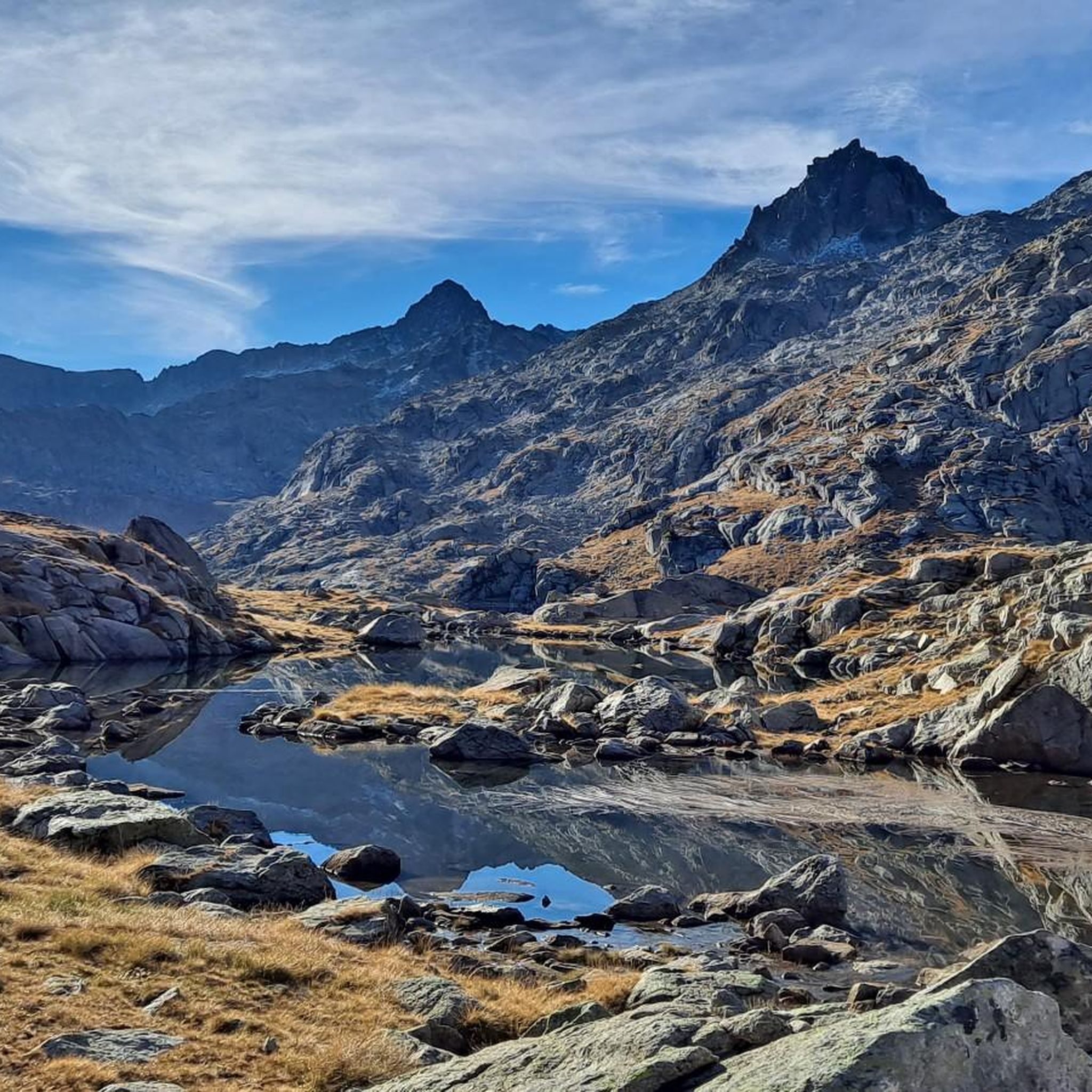
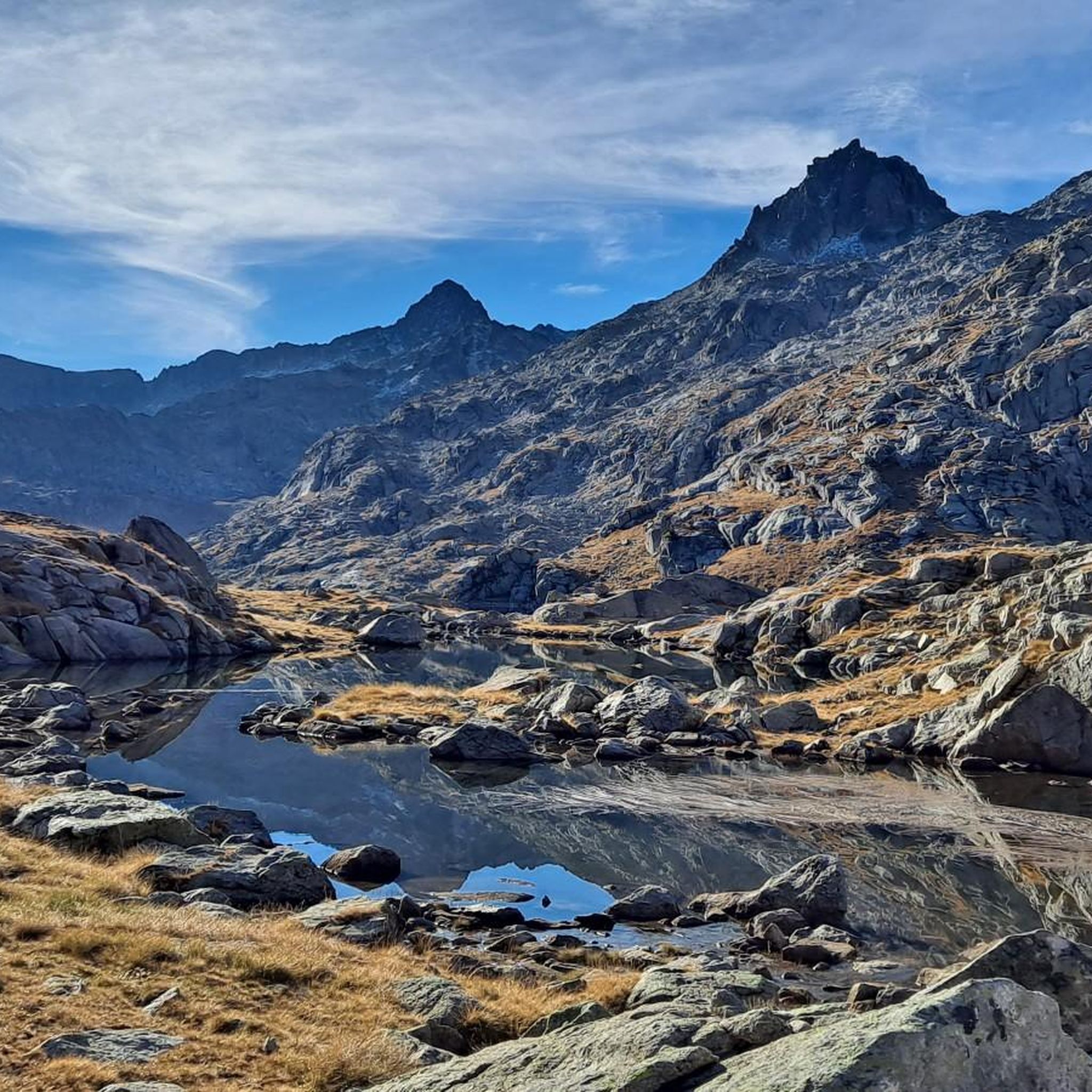
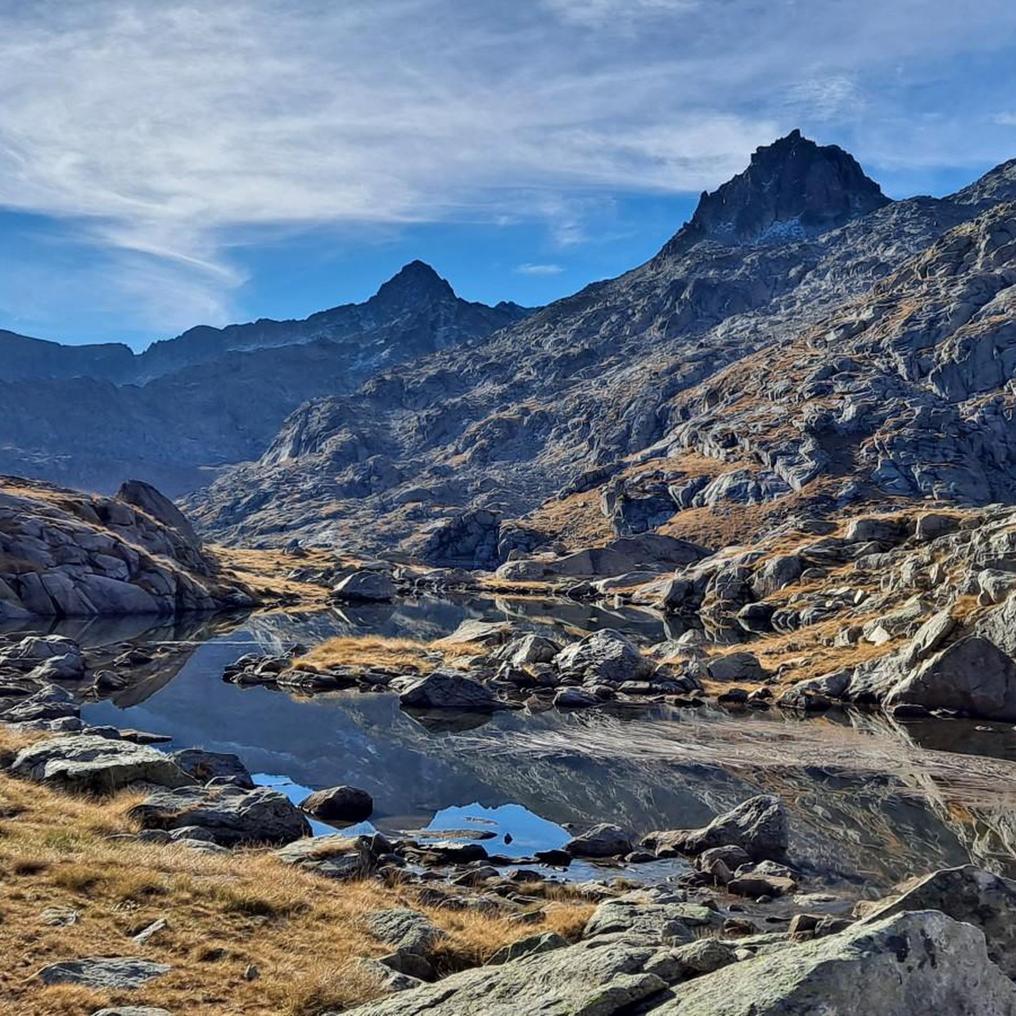
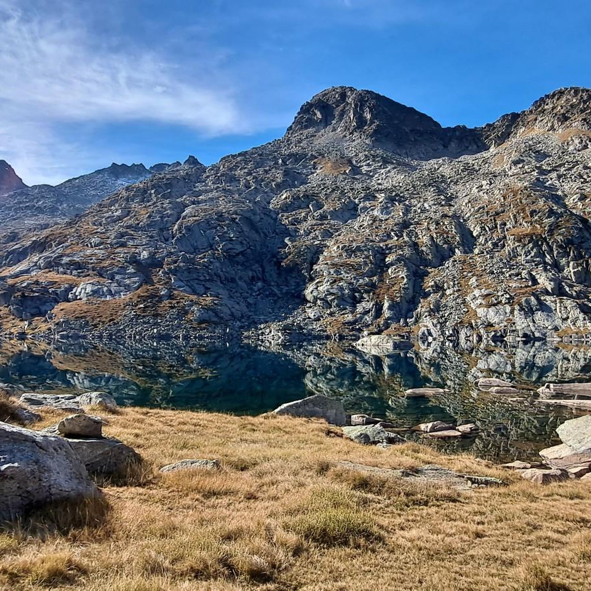
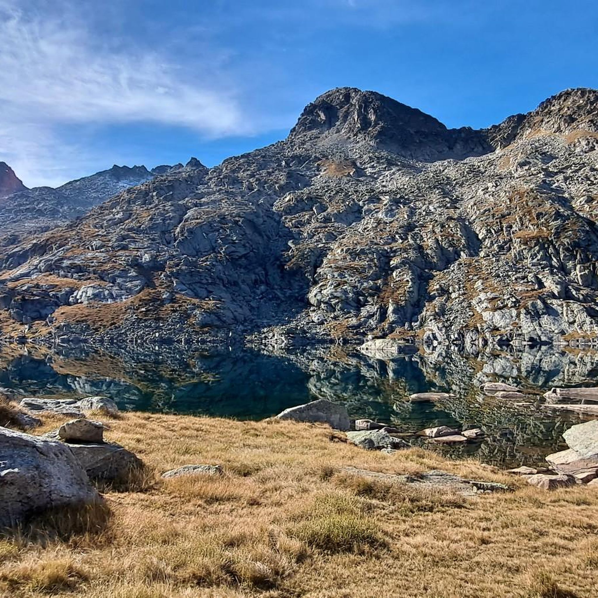
This refuge is named after the Restanca lake, next to which it is located. It is located at an altitude of 2010 metres in the Alto Arán. It has capacity for 80 guests, divided into six rooms. It also has hot water showers, food service and a bar.
1
0

Lake Obago is a lake of glacial origin located at 2,236 m in the municipality of Alto Arán, in the Valle de Arán region. Lake Obago is one of the largest lakes in the Cirque de Colomers, a glacial cirque of more than 50 lakes crowned by peaks that exceed 2,500 meters, such as the Tuc de Ratera (2,861 m) or the Gran Tuc de Colomers (2,933 meters).
0
0
Lake Mayor de Colomers is a lake of glacial origin located at 2128 m in the municipality of Alto Arán, in the Valle de Arán region. Lake Mayor de Colomers is one of the largest lakes in the Cirque de Colomers, a glacial cirque of more than 50 lakes crowned by peaks that exceed 2,500 meters, such as the Tuc de Ratera (2,861 m) or the Gran Tuc de Colomers (2,933 meters). ). The Colomers refuge is located near the lake.
0
0

The lake of Còth de Baish can be seen from the pass of the same name, at an altitude of 2,190 metres. From the pass it is possible to descend to the lake to admire it up close.
0
0

One of the smallest, but also very flirtatious.
3
0
In my opinion, the most beautiful lake on the tour.
2
0
Frequently Asked Questions
What is the typical difficulty level for mountaineering routes around Lac Tòrt d'Arrius?
Mountaineering routes in the Lac Tòrt d'Arrius region are generally considered difficult. They are designed for experienced mountaineers, featuring rugged peaks, significant elevation gains, and varied, challenging terrain. All 10 routes listed in this guide are rated as difficult.
Are there any family-friendly or beginner mountaineering routes in Lac Tòrt d'Arrius?
The mountaineering routes around Lac Tòrt d'Arrius are primarily suited for experienced individuals due to their demanding nature, rugged terrain, and significant elevation changes. There are no routes listed in this guide that are classified as easy or moderate, making them generally unsuitable for beginners or young families seeking a gentle introduction to mountaineering.
What is the best time of year for mountaineering in Lac Tòrt d'Arrius?
The best time for mountaineering in Lac Tòrt d'Arrius is typically during the summer months, from late June to early September. During this period, snow has usually melted from higher elevations, and weather conditions are more stable, offering clearer paths and safer ascents. Always check local weather forecasts and conditions before heading out.
Are there any circular mountaineering routes available around Lac Tòrt d'Arrius?
Yes, many of the mountaineering routes in Lac Tòrt d'Arrius are circular, allowing you to return to your starting point without retracing your steps. Examples include the popular Restanca Refuge – Montardo Summit Cairn loop from Refugi de la Restanca and the challenging Collado de Molières – Ibones de Molières loop from Espitau de Vielha.
What kind of wildlife might I encounter on the trails in Lac Tòrt d'Arrius?
The high-altitude environment around Lac Tòrt d'Arrius is home to various Pyrenean wildlife. You might spot chamois or ibex on rocky slopes, marmots in alpine meadows, and various birds of prey soaring overhead, such as griffon vultures or even lammergeiers. Keep a respectful distance and observe quietly.
Where can I find parking for mountaineering routes near Lac Tòrt d'Arrius?
Parking availability varies depending on the specific trailhead. For routes starting from Espitau de Vielha, such as the Mountaineering loop from Espitau de Vielha, there are usually designated parking areas. For routes like the Restanca Refuge – Montardo Summit Cairn loop, parking is typically available near the Refugi de la Restanca. It's advisable to check specific route details for precise parking information.
Are permits required for mountaineering in the Lac Tòrt d'Arrius area?
Generally, permits are not required for day mountaineering trips in the Lac Tòrt d'Arrius area, which is part of the Val D'Aran. However, if you plan to stay overnight in mountain refuges, it is highly recommended to book your accommodation in advance, especially during peak season. Always check for any specific local regulations or protected area requirements before your trip.
What are some longer, more challenging mountaineering options in the region?
For those seeking a significant challenge, the Besiberri New Refuge – Besiberri Sud 3023m loop from Noguera Ribagorçana is a demanding option. This route covers 17.1 km with over 1500 meters of elevation gain, typically requiring around 9 hours and 43 minutes to complete, leading to a prominent 3000-meter peak.
What do other mountaineers enjoy most about the routes in Lac Tòrt d'Arrius?
The mountaineering routes in Lac Tòrt d'Arrius are highly rated by the komoot community, with an average score of 5.0 stars. Reviewers often praise the challenging ascents, the stunning high-alpine landscapes, and the rewarding views from the summits and passes, such as those found on the Collado de Molières – Ibones de Molières loop.
Are there any quieter or less-trafficked mountaineering routes around Lac Tòrt d'Arrius?
While the region is known for its popular trails, you can sometimes find quieter experiences by exploring routes like the Besiberri New Refuge loop from Noguera Ribagorçana. This route offers a challenging journey through high mountain valleys, providing a sense of solitude away from the more frequented paths, especially outside of peak season.
What are the typical durations for mountaineering routes in Lac Tòrt d'Arrius?
The mountaineering routes in Lac Tòrt d'Arrius vary in length and duration, reflecting their challenging nature. You can expect routes to range from approximately 5 hours for trails like the Besiberri New Refuge loop, up to over 9 hours for longer expeditions such as the Besiberri New Refuge – Besiberri Sud 3023m loop. Always factor in extra time for breaks and unexpected conditions.
Most popular routes around Lac Tòrt d'Arrius

Get inspired with the komoot mobile app


Explore more
Browse the best Mountain Hikes & Routes in other regions.
