The best cycling routes around Embalse de El Burguillo
4.3
(8)
415
riders
74
rides
Touring cycling routes around Embalse de El Burguillo traverse a diverse landscape at the foot of the Sierra de Gredos, characterized by the reservoir itself and a Mediterranean ecosystem. The region features the Alberche River, which feeds the reservoir, and is bordered by the Valle de Iruelas Natural Park, known for its chestnut forests. Cyclists can expect varied terrain, from routes along the reservoir's edge to paths with significant elevation changes in the surrounding hills.
Best touring cycling routes around…
Last updated: July 5, 2026
3.0
(1)
7
riders
38.6km
03:03
560m
560m
Hard bike ride. Very good fitness required. Mostly paved surfaces. Suitable for all skill levels.
3.0
(1)
12
riders
44.7km
03:35
650m
650m
Hard bike ride. Very good fitness required. Mostly paved surfaces. Suitable for all skill levels.

Sign up for free
5.0
(1)
7
riders
Easy bike ride. Great for any fitness level. Mostly paved surfaces. Suitable for all skill levels.
4
riders
Moderate bike ride. Good fitness required. Mostly paved surfaces. Suitable for all skill levels.
5.0
(1)
6
riders
23.3km
01:58
420m
420m
Moderate bike ride. Good fitness required. Mostly paved surfaces. Suitable for all skill levels.
Get access to more routes and recommendations from other explorers.
Sign up for free
Already have an account?
Our route recommendations are based on thousands of hikes, rides, and runs completed by other people on komoot.
Start today with a free account
Your next adventure awaits.
Login or Signup

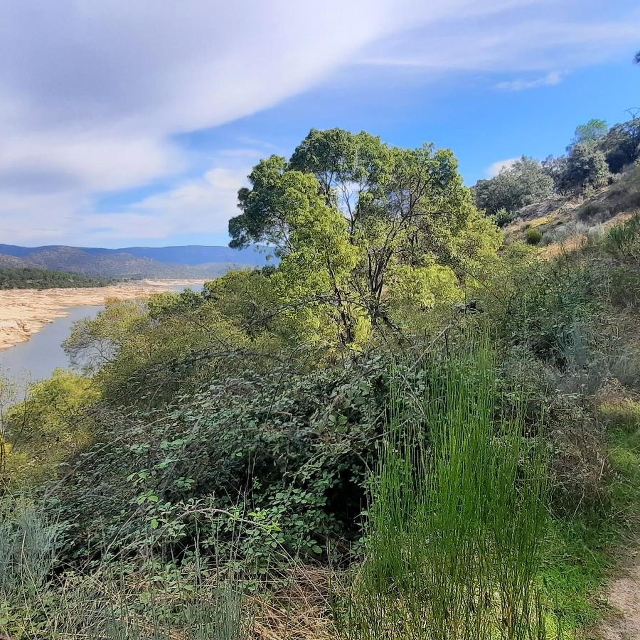
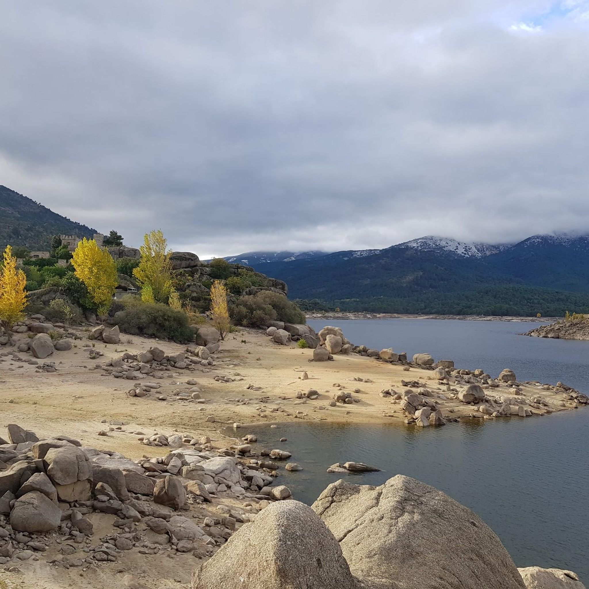
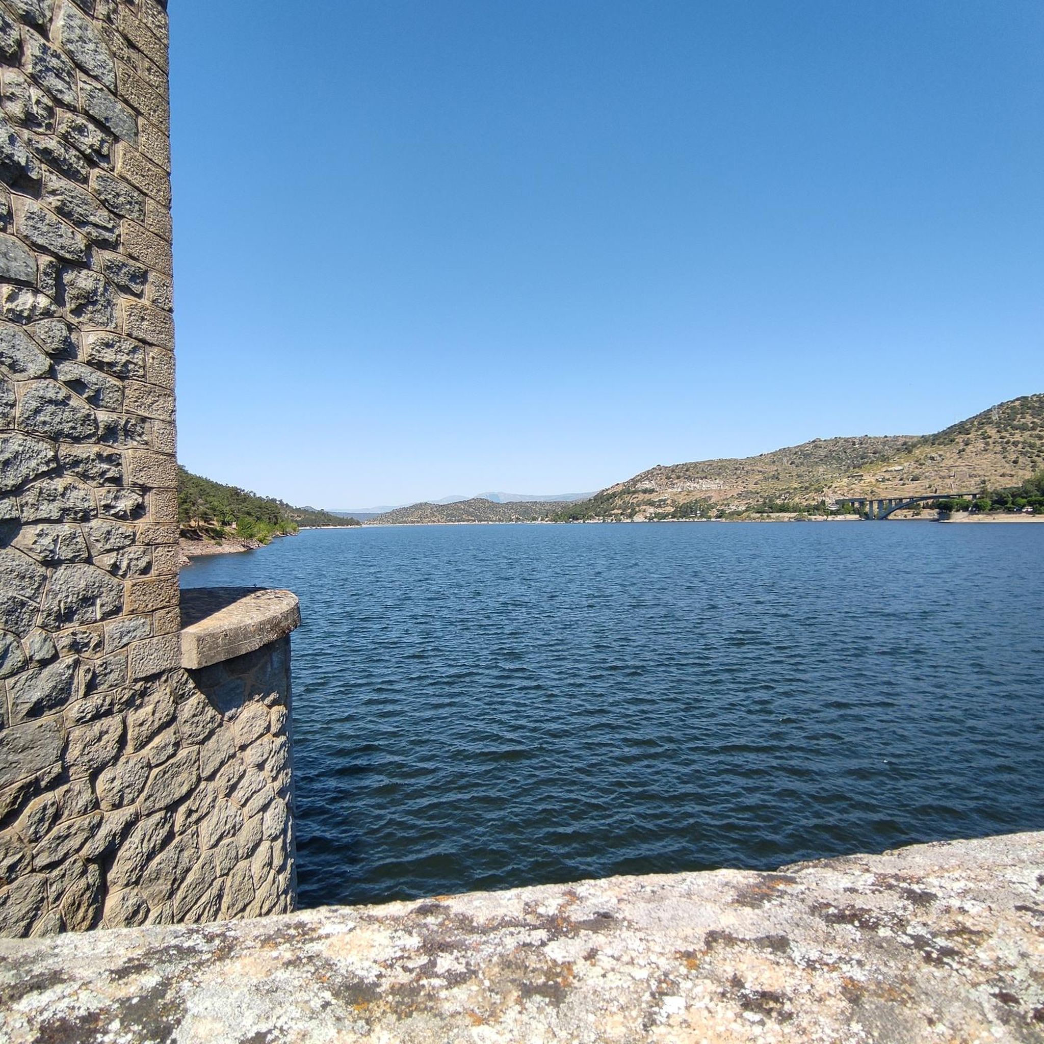

Tips from the Community

Beautiful road alongside the reservoir, very quiet. It has no paved exit.
0
0

Beautiful stone bridge over the Alberche River as it passes through Navaluenga.
0
0

The Alberche River is one of the tributaries of the Tagus, and runs through the communities of Castilla y León, Madrid, and Castilla - La Mancha. It is born on the southern slope of the Villafranca mountain range, in the Central system. It is a river with a shallow flow, like all the rivers that originate from the southern slope of the Central system. It serves as a border between the Gredos and Guadarrama mountain ranges.
1
0

Old bridge that crosses the river and that lets us go from the center of Navaluenga to the other side of the bank. The surrounding area is also beautiful.
0
0
The Alberche river passes through this natural strait that ends with what is called the Burguillo Reservoir. It's worth going a few more meters to see the views of the meanders that the river itself offers.
0
0
Running and retracing the Río Alberche and from the town of Navaluenga there appears this valley that on the south side we find the Sierra de Gredos and to the north, the Sierra de Panamera that offers this green and wide valley.
0
1
Following the Río Alberche and from the town of Navaluenga, this valley appears, on the south side we find the Sierra de Gredos and to the north, the Sierra de Panamera that offers this green and wide valley.
1
0
The Alberche river passes through this natural strait that ends with what is called the Burguillo Reservoir. The views from this point are beautiful and wide.
1
0
Frequently Asked Questions
What kind of terrain can I expect on touring cycling routes around Embalse de El Burguillo?
The touring cycling routes around Embalse de El Burguillo offer a diverse landscape. You'll find paths along the reservoir's edge, routes following the Alberche River, and trails through the foothills of the Sierra de Gredos. The terrain varies from gravel surfaces, as seen on the Embalse del Burguillo — gravel circular by the río Alberche, to more paved or compacted surfaces, with significant elevation changes in the surrounding hills.
Are there touring cycling routes suitable for beginners or less experienced cyclists?
Yes, there are routes suitable for various ability levels. While many routes are challenging, you can find easier options. For instance, the Navaluenga Valley – Puente Viejo de Navaluenga loop from Albergue Sierra de Gredos is an easy 6.4-mile (10.4 km) trail that takes about 45 minutes to complete, leading through the scenic Navaluenga Valley.
What natural features or landmarks can I see while cycling around Embalse de El Burguillo?
The region is rich in natural beauty. You'll encounter the expansive El Burguillo Reservoir itself, the oldest and largest in Ávila province, and enjoy views of the Alberche River. The area borders the Valle de Iruelas Natural Park, known for its magnificent chestnut forests and as a special bird protection area for black vultures. Keep an eye out for viewpoints like 'El Banco del Burguillo' for spectacular panoramas.
Are there any historical or cultural points of interest near the cycling routes?
Yes, beyond the natural landscapes, you can explore historic towns such as El Barraco and El Tiemblo. These towns offer cultural excursions and access to the ancient Celtic sculptures known as the Bulls of Guisando, providing a glimpse into the region's rich history.
What is the best time of year for touring cycling around Embalse de El Burguillo?
The Mediterranean ecosystem of Embalse de El Burguillo makes it enjoyable for much of the year. Spring and autumn generally offer pleasant temperatures for cycling. While winter can bring snowy mountain peaks, adding to the scenery, it might also mean colder conditions. Summer can be hot, so early morning or late afternoon rides are advisable during that season.
Are there circular touring cycling routes available?
Yes, many routes are designed as loops, allowing you to start and end in the same location. A popular option is the El Burguillo Reservoir – Burguillo Reservoir loop from Recepción, a difficult 27.8-mile (44.7 km) path that offers extensive views as it circles the reservoir.
How many touring cycling routes are available in Embalse de El Burguillo?
There are over 60 touring cycling routes available around Embalse de El Burguillo on komoot, offering a wide range of options for different skill levels and preferences. This includes 4 easy routes, 11 moderate routes, and 52 difficult routes.
What do other touring cyclists enjoy the most about touring cycling in Embalse de El Burguillo?
The area is highly rated by the komoot community, with an average score of 4.2 stars from 10 reviews. Reviewers often praise the diverse terrain, the stunning reservoir views, and the routes that follow the Alberche River and wind through the Sierra de Gredos foothills.
Are there any challenging routes for experienced touring cyclists?
Absolutely. For experienced touring cyclists seeking a challenge, there are numerous difficult routes with significant elevation gains. The Navaluenga Valley – El Berraco loop from Río Alberche is a difficult 52.7 km route with over 750 meters of ascent, providing a demanding ride through varied landscapes.
Can I find routes that offer views of the Alberche River?
Yes, the Alberche River feeds the Embalse de El Burguillo, and several touring cycling routes follow its course. The Embalse del Burguillo — gravel circular by the río Alberche is a prime example, offering beautiful views along the river on a gravel surface.
Are there any moderate touring cycling routes in the area?
Yes, for those looking for a balance between easy and difficult, there are moderate options. The Bike loop from Las Cruceras is a moderate 23.3 km route with over 400 meters of elevation gain, offering a good workout without being overly strenuous.
Most popular routes around Embalse de El Burguillo
Most popular attractions around Embalse de El Burguillo

Get inspired with the komoot mobile app


Explore more
Browse the best Cycling routes in other regions.
