The best road cycling routes around l'Albufera
4.5
(178)
9,899
riders
131
rides
Road cycling around l'Albufera is characterized by its predominantly flat terrain, making it accessible for various skill levels. The region features Spain's largest freshwater lagoon, extensive rice fields, and a narrow coastal strip with dunes and Mediterranean forests. Minimal elevation changes define the landscape, offering long, consistent routes. This unique combination of aquatic, agricultural, and coastal environments provides diverse scenery for road cyclists.
Best road cycling routes around l'Albufera
- The most popular road cycling route is Pujol Pond – Palmar…
Last updated: June 28, 2026
4.8
(17)
857
riders
Moderate road ride. Good fitness required. Some segments of this route may be unpaved and difficult to ride.
4.5
(31)
903
riders
Easy road ride. Great for any fitness level. Mostly well-paved surfaces and easy to ride.

Sign up for free
4.5
(2)
270
riders
108km
04:30
500m
500m
Moderate road ride. Good fitness required. Some segments of this route may be unpaved and difficult to ride.
5.0
(2)
63
riders
80.5km
03:47
990m
990m
Hard road ride. Very good fitness required. Mostly well-paved surfaces and easy to ride.
63
riders
Moderate road ride. Good fitness required. Some segments of this route may be unpaved and difficult to ride.
Get access to more routes and recommendations from other explorers.
Sign up for free
Already have an account?
Our route recommendations are based on thousands of hikes, rides, and runs completed by other people on komoot.
Start today with a free account
Your next adventure awaits.
Login or Signup

Tips from the Community

The port of Barx is a Valencian classic. Its horseshoe bends run over the panorama of the surrounding mountains and the Mediterranean coast.
2
0

Mareny Barraquetes (in Valencian and officially, Mareny de Barraquetes) is a minor local entity of the Valencian Community, Spain, belonging to the province of Valencia. Formerly a district of the municipality of Sueca, since 1999 it has been an entity of territorial scope below the municipality (EATIM) belonging to said municipal term. Mareny de Barraquetes is located in the heart of the Albufera natural park and next to the sea. The nearest towns are Sueca 7 km (kilometers) away, 28 km from Valencia and 9 km from Cullera. Its toponym mareny means ‘marshland’, that is, an area very close to the sea and easily flooded. For its part, the term barraquetes indicates the type of habitat that was frequent throughout the area, huts built with reeds and mud, materials from the marshes and the dune cordon. The historical origin of the first human settlements in this area dates back to the period of Roman domination, when the Phocaean colonies were established near Sicania, with El Mareny de Barraquetes being one of them. It survived through the centuries, as an alquería, thus reaching the first historical antecedents, which are found in the first census of inhabitants that was made in Sueca in 1795, by governmental order for the preparation of the conscription, as Spain was at war against Revolutionary France of the Directory (1793-1795). Likewise, until the 1845 census, we do not have a specific list of residents from El Mareny, with nine huts. Its inhabitants are mainly engaged in agriculture. In the last century, the population nucleus based its economy mainly on fishing. There were three fishing settlements where families lived who were dedicated to freshwater fishing (in the canals coming from the Júcar). Until recently, there was a fishing settlement where this work continued, but with modern facilities.
0
0

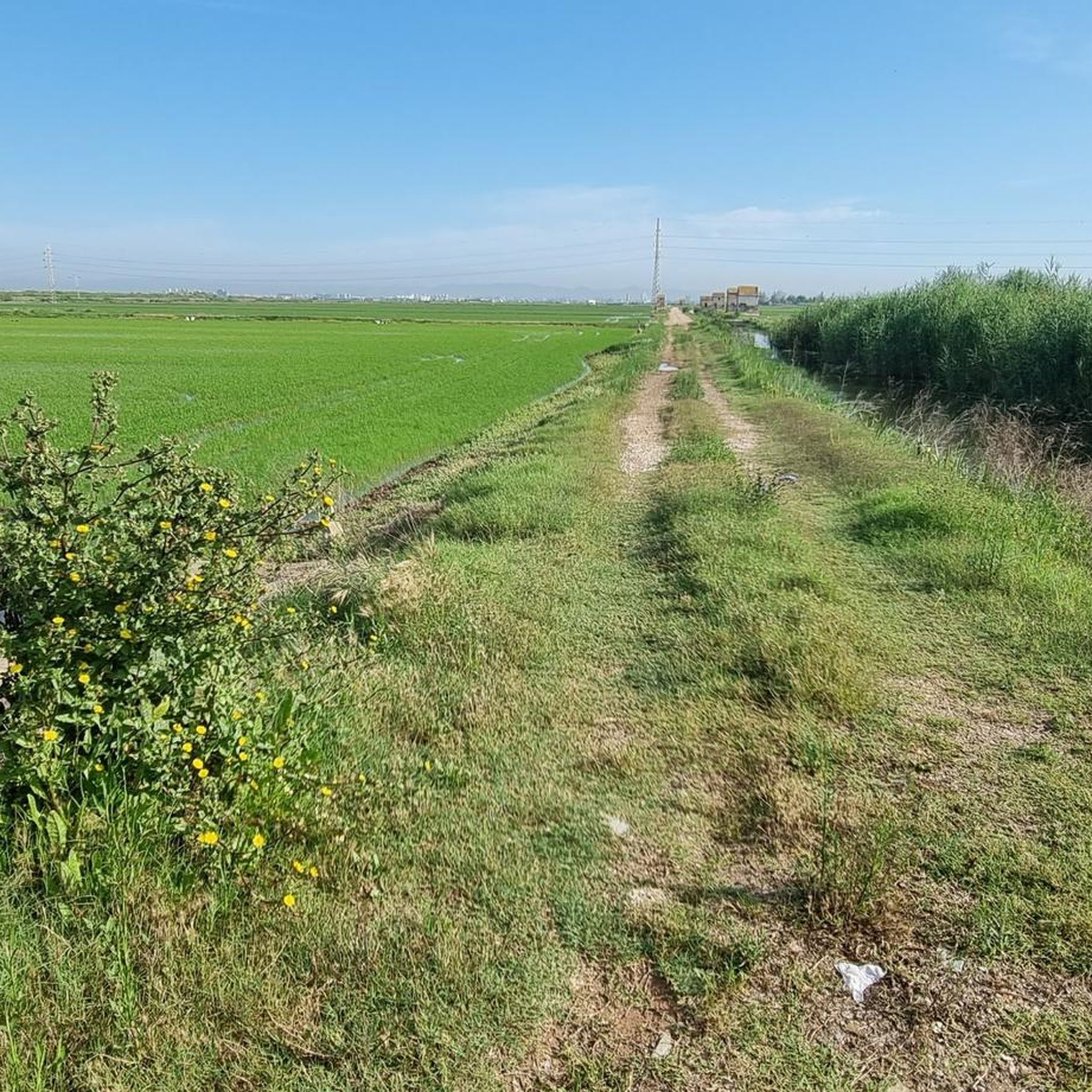
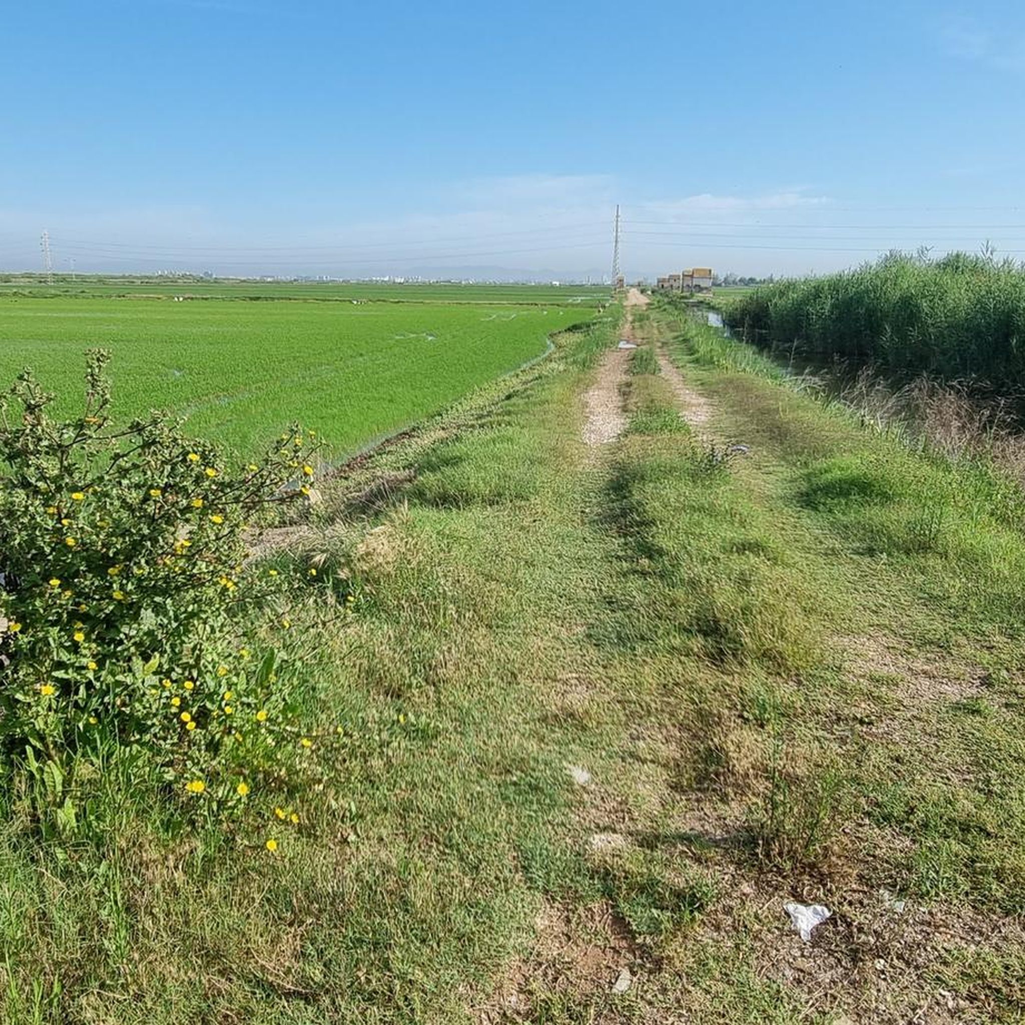
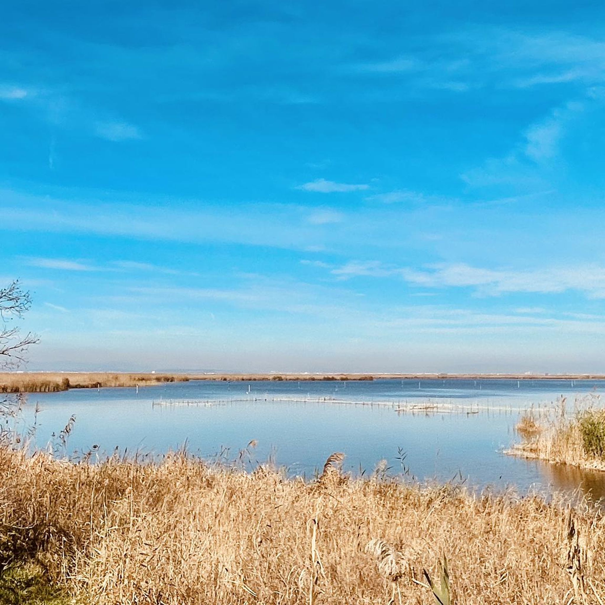
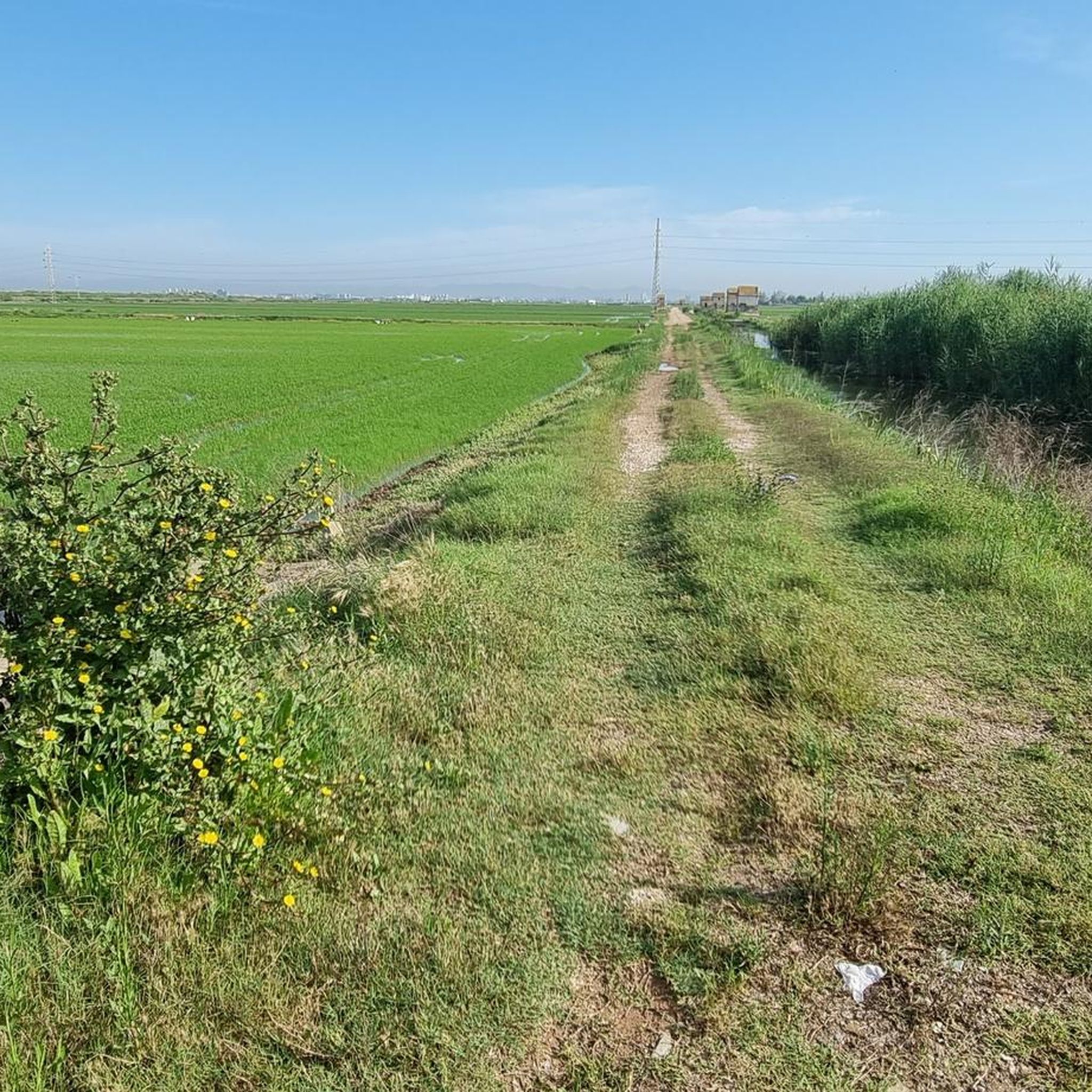
The Albufera lake was formed by the sinking of an approximately 30 km long coastal strip. The saltwater lake then became a freshwater lake due to the inflows. In the Estany del Pujol lagoon you can observe various water birds.
2
1

One of the best landscape views very close to Valencia capital.
0
0
On many occasions, advertising encourages us to travel to other places to contemplate a spectacular sunset or a landscape worthy of a postcard. We Valencians have one of the most beautiful sunsets next to the capital.
1
0
The Royal Monastery of Santa Maria de Valldigna was founded by James II the Just on March 15, 1298, who gave the Alfàndec valley to Abbot Bononat of Vila-seca to found a monastery of the Cistercian order, a branch of the Santes Creus monastery. It was the first monastery of such importance built in the ancient Kingdom of Valencia, after the Christian conquest. Days after the royal donation, James II, brother Bononat and his entourage met at the place of Ràfol (a Christian village in the valley founded after the conquest of James I) to take possession of the territory, plus one mile inland, the castles of Marinyén, Alcalà and the tower of Mondúber.
1
0

The "Col de Rates de la Safor" The Barx Pass, from Simat, is a gem for any cycling enthusiast. A climb that perfectly combines effort with the beauty of the surroundings. Each curve offers a new perspective of the Valldigna Valley, while the monastery remains behind as a silent witness to the ascent. Frequently used by local cyclists, it's an ideal stretch to enjoy at a leisurely pace, feeling each pedal stroke amidst nature and heritage. With several well-defined hairpin bends and a steady but manageable gradient, it's perfect for enjoying the effort without suffering too much. Pass details: 6.3 km | 301 m elevation gain | average gradient of 4.8% | ramps of up to 9.8%.
1
0

Don't get me wrong, I like the sculpture, but it reminds me of a ship's propeller.
2
1
Frequently Asked Questions
What makes l'Albufera a unique destination for road cycling?
L'Albufera offers a distinctive road cycling experience due to its predominantly flat terrain, making it accessible for various skill levels. Cyclists can enjoy expansive views of Spain's largest freshwater lagoon, cycle through vast rice fields that change color with the seasons, and experience the coastal strip with its dunes and Mediterranean forests. This blend of aquatic, agricultural, and coastal environments provides diverse and picturesque scenery.
How many road cycling routes are available in l'Albufera?
There are over 120 road cycling routes around l'Albufera. These routes cater to different abilities, with 31 easy, 83 moderate, and 15 difficult options, ensuring there's a suitable ride for nearly every cyclist.
Are there any circular road cycling routes in l'Albufera?
Yes, many road cycling routes in l'Albufera are designed as loops, allowing you to start and end at the same point. An example is the moderate Pujol Pond – Palmar Road loop from Embarcador de l'Albufera (I), which covers 83.3 km and offers extensive views of the lagoon and rice fields.
What are the best times of year to go road cycling in l'Albufera?
The best times to cycle in l'Albufera are generally spring and autumn when temperatures are mild and comfortable. The rice fields offer a particularly beautiful spectacle, changing from vibrant green in summer to golden hues before harvest. Cycling during these seasons also allows you to enjoy sea breezes along the coastal strip.
What kind of natural features and landmarks can I expect to see along the road cycling routes?
Road cycling routes in l'Albufera offer a variety of natural features and landmarks. You'll encounter the vast freshwater lagoon, extensive rice fields, and the coastal strip with its dunes and Mediterranean forests. Notable viewpoints include Albufera Viewpoint and Gola de Pujol Pier – Sunset Viewpoint. You might also pass through charming villages like El Palmar, known for traditional Valencian culture.
Are there family-friendly road cycling routes in l'Albufera?
Yes, the predominantly flat terrain of l'Albufera makes it ideal for family-friendly road cycling. There are 31 easy routes available, such as the Clock Building – Docks of Albufera Lake loop from el Perellonet, an easy 39.1 km path that follows the lake's edge, suitable for various fitness levels.
What do other road cyclists enjoy most about cycling in l'Albufera?
The area is highly rated by the komoot community, with an average score of 4.7 stars from over 160 reviews. Cyclists often praise the flat, well-maintained paths, the unique scenery of the lagoon and rice fields, and the opportunity to experience the region's natural beauty and charming villages.
Is public transport available to access the road cycling routes in l'Albufera?
Yes, dedicated bike lanes connect the natural park to Valencia, offering a sustainable way to access l'Albufera. Public transport options from Valencia are available, allowing you to reach various starting points for your road cycling adventures. For more detailed information on transport, you can consult resources like Visit Valencia's Albufera Natural Park page.
Are there any cafes or places to eat along the road cycling routes?
Yes, as you cycle through l'Albufera, you'll find opportunities to stop in charming villages like El Palmar. These villages are known for their traditional Valencian cuisine, especially authentic paella, and offer cafes and restaurants where you can refuel and experience local culture.
Are permits or entrance fees required for road cycling in l'Albufera Natural Park?
Based on available information, there are no specific permits or entrance fees required for road cycling within l'Albufera Natural Park itself. The extensive network of roads and dedicated bike lanes are generally open for public use. However, it's always advisable to respect local regulations and natural park guidelines.
Can I rent a road bike in or near l'Albufera?
While specific bike hire locations within the immediate l'Albufera area are not detailed in the guide, Valencia, being a major city with strong cycling infrastructure, offers numerous bike rental services. Many of these services provide road bikes suitable for exploring the flat terrain of l'Albufera, which is easily accessible from the city.
Are there any challenging road cycling routes in l'Albufera?
Despite the generally flat terrain, l'Albufera does offer some longer and more challenging road cycling routes. For instance, the Fuente Real Pass – View of Dos Aguas loop from el Romaní is classified as difficult, covering over 80 km. These routes often involve longer distances rather than significant elevation gains.
Most popular routes around l'Albufera
Most popular attractions around l'Albufera

Get inspired with the komoot mobile app


Explore more
Browse the best Road cycling routes in other regions.
