The best road cycling routes around Moneyconey
86
riders
13
rides
Road cycling around Moneyconey features a landscape characterized by extensive rural roads and significant elevation changes. The region offers routes with substantial climbs and descents, indicating a hilly or undulating terrain. Long distances are common, providing opportunities for endurance rides through varied countryside. The area's physical features support challenging road cycling experiences.
Best road cycling routes around Moneyconey
- The most popular road cycling route is Lough Lark – Goles Stone Row loop from Feeny Road Bus Stop, a 67.8…
Last updated: July 9, 2026
33
riders
110km
06:00
1,770m
1,770m
Hard road ride. Very good fitness required. Some segments of this route may be unpaved and difficult to ride.
10
riders
103km
04:31
1,020m
1,020m
Hard road ride. Very good fitness required. Mostly well-paved surfaces and easy to ride.

Sign up for free
7
riders
91.2km
04:13
980m
980m
Hard road ride. Very good fitness required. Mostly well-paved surfaces and easy to ride.
4
riders
Moderate road ride. Good fitness required. Mostly well-paved surfaces and easy to ride.
6
riders
91.2km
04:06
880m
880m
Moderate road ride. Good fitness required. Mostly well-paved surfaces and easy to ride.
Get access to more routes and recommendations from other explorers.
Sign up for free
Already have an account?
Our route recommendations are based on thousands of hikes, rides, and runs completed by other people on komoot.
Start today with a free account
Your next adventure awaits.
Login or Signup


Tips from the Community

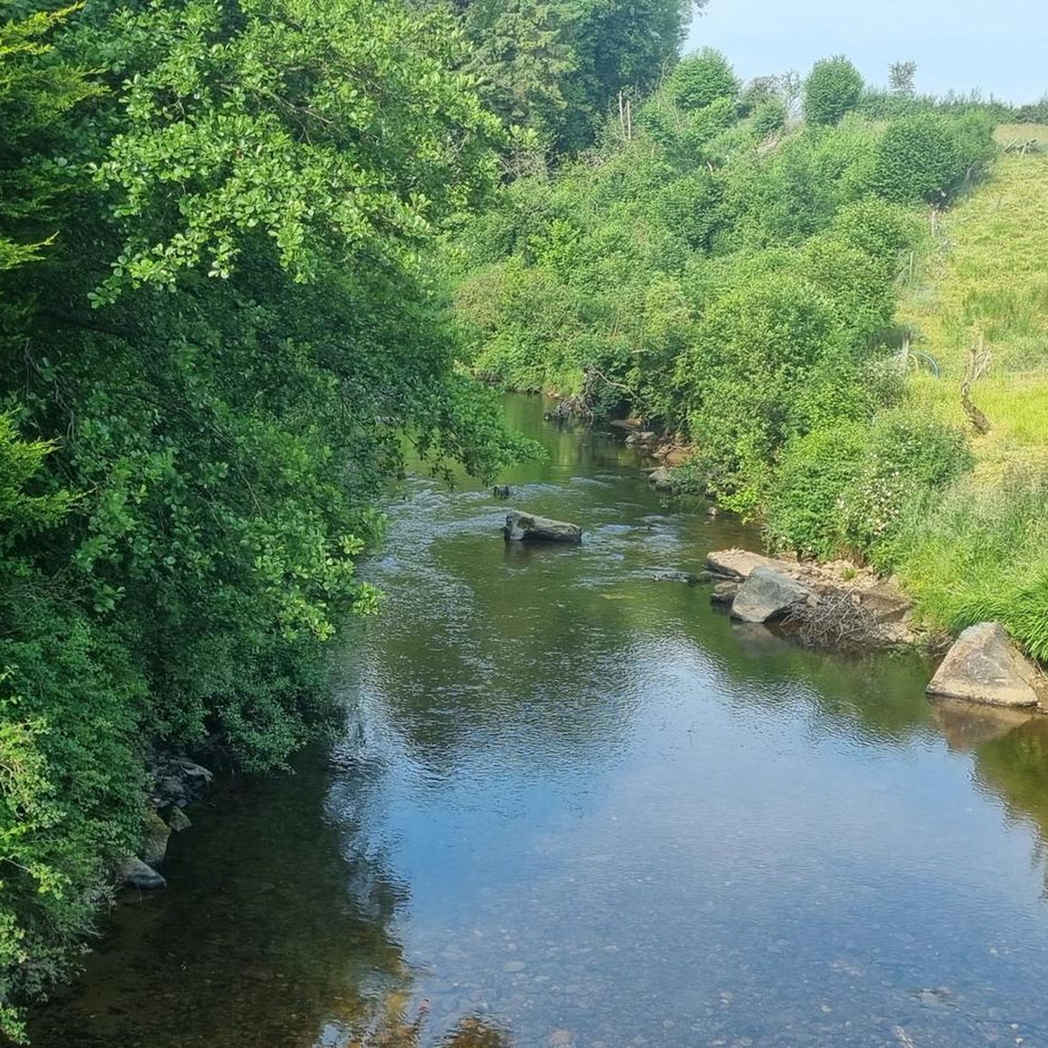
As you cycle through the rolling landscape of County Tyrone, the Wellbrook Beetling Mill is an absolute must for a stopover. Situated in an idyllic, wooded stream valley along the Ballinderry River, this 19th-century water mill provides a stark contrast to the tranquility of its surroundings. This is the last working 'beetling mill' in the United Kingdom. "Beetling" was the final step in traditional Irish linen production: using enormous wooden hammers (beetles), powered by a water wheel nearly five metres high, the linen was processed for hours until it acquired its characteristic sheen. When the mill is running, you can hear the rhythmic thudding from afar – an impressive sound that takes you straight back to the industrial heyday of Northern Ireland.
8
0
Small, cozy coffeeshop in the center of Beltrim, housed in an old bank building. Known as a quiet stopover for cyclists in the Sperrin region, with good coffee, cakes, and a friendly atmosphere. Located close to the river, it forms a logical break point on routes between Omagh, Gortin, and the Sperrins hills.
8
0

Gortin is a great place to begin and end a run. You could visit The Auld Bank Coffee Shop for delicious breakfast, lunch, coffee and snacks, or, if it's a cold pint a pub lunch you'd prefer, you could check out Mossey's Bar.
1
0
Gortin is a pleasant town situated in the heart of the Sperrins in County Tyrone. The town is nearby to a number of wonderful walks including Gortin Glen Forest Park, Mullaghcarn & Craignamaddy. There are also a few pubs in the town, such as Mossey's Bar and O'Neills.
1
0

With Barnes Top and Knockanbane Mountain to the east and Sawel Mountain to the south east, Sperrins Road carves through the landscape with cracking views all around. There is some descent climbing to get here but it's worth it.
0
0
The church ruins date from the early 16th century but include stones from a much earlier pre 11th century church. After a new church was built, this one fell into disrepair, but the graveyard remains in use.
0
0
An important historic site, Tullyhogue Fort is where the O'Neills were crowned the Chiefs of Ulster. It is now planted with trees and you can enjoy views across the countryside of County Tyrone.
0
0
Also known as Dermot and Grania's Bed, Dunnamore Wedge Tomb has been damaged over time, but you can still see the entrance to the tomb facing south west. Follow the lane to reach the site, but be sure to ask permission from the farmer first.
0
0
Frequently Asked Questions
What kind of terrain can I expect when road cycling around Moneyconey?
Road cycling around Moneyconey is characterized by extensive rural roads and significant elevation changes. The region features a hilly or undulating terrain, offering routes with substantial climbs and descents, which provides a challenging experience for cyclists.
Are there any easy road cycling routes for beginners in Moneyconey?
While Moneyconey is known for its challenging terrain, there are no routes specifically classified as 'easy' in this guide. However, there are 8 routes categorized as 'moderate' which might be suitable for road cyclists with some experience looking for less extreme climbs than the 'difficult' options.
What is the typical length and duration of road cycling routes in Moneyconey?
Road cycling routes in Moneyconey are generally long distance. For example, routes like the Lough Lark – Goles Stone Row loop from Feeny Road Bus Stop are around 67.8 miles (109.1 km) and can take nearly 6 hours to complete. Other routes, such as the Dunnamore Wedge Tomb – Wellbrook Beetling Mill loop from Brackaville, are about 56.6 miles (91.2 km) and typically take over 4 hours.
Are there any circular road cycling routes available in Moneyconey?
Yes, many of the road cycling routes around Moneyconey are designed as loops. Examples include the popular Lough Lark – Goles Stone Row loop from Feeny Road Bus Stop and the Auld Bank Coffee Shop – Bench Under a Large Tree loop from Magherafelt, allowing you to start and finish at the same point.
What are some challenging road cycling routes in Moneyconey?
Moneyconey offers several challenging routes with significant elevation gains. The Lough Lark – Goles Stone Row loop from Feeny Road Bus Stop is a difficult 67.8-mile (109.1 km) route with over 5,600 feet (1,700 meters) of elevation gain. Another demanding option is the Auld Bank Coffee Shop – Bench Under a Large Tree loop from Magherafelt, which covers 64.3 miles (103.5 km) with over 3,300 feet (1,000 meters) of climbing.
What kind of attractions can I see along the road cycling routes in Moneyconey?
While cycling, you can explore various natural and historical attractions. Highlights include the Slieve Gallion NE Top Summit, the ancient Beaghmore Stone Circles, and the serene Lough Fea. You might also encounter the Blanket Bog and Turf Information Boards Near Crockmore Peak, offering insights into the local landscape.
Are there any good viewpoints along the road cycling routes?
Yes, the region offers scenic viewpoints. You can find stunning vistas such as the View of the Gallion Mountains and County Londonderry, and the expansive View from Slieve Gallion, providing panoramic views of the surrounding countryside.
What is the best time of year for road cycling in Moneyconey?
Given the region's varied terrain and potential for significant elevation changes, the best time for road cycling is typically during the milder months, from late spring to early autumn (May to September). This period generally offers more predictable weather conditions and longer daylight hours, making the challenging routes more enjoyable.
Are there any cafes or places to stop for refreshments near the road cycling trails?
While specific cafes are not detailed for every route, the Auld Bank Coffee Shop – Bench Under a Large Tree loop from Magherafelt route name suggests that the Auld Bank Coffee Shop could be a potential stop. For other routes, it's advisable to check the starting or ending towns for local amenities.
How many road cycling routes are available in Moneyconey?
There are 15 road cycling routes available around Moneyconey, offering a range of experiences from moderate to difficult, with a strong emphasis on longer distances and significant elevation changes.
Is Moneyconey suitable for family-friendly road cycling?
Due to the prevalence of long distances and significant elevation changes, Moneyconey's road cycling routes are generally more suited for experienced cyclists rather than young families or beginners. There are no routes classified as 'easy', with the majority being 'moderate' or 'difficult'.
Where can I find parking for road cycling routes in Moneyconey?
Specific parking information for each route is not provided in this guide. However, many routes are designed as loops starting from towns or villages, such as the Bench Under a Large Tree – An Creagan Visitor Centre loop from Maghera. It is recommended to check the starting point of your chosen route for available public parking options.
Most popular routes around Moneyconey
Most popular attractions around Moneyconey

Get inspired with the komoot mobile app


Explore more
Browse the best Road cycling routes in other regions.
