The best walks and hikes around Embalse del Porma
4.7
(45)
338
hikers
25
hikes
Hiking around Embalse del Porma offers diverse terrain in the province of León, Spain, characterized by its large reservoir framed by forests of birch, beech, and oak. The region is set against the backdrop of the Cantabrian Mountains, featuring prominent peaks like Pico Susarón and Peña San Pedro. This landscape provides varied elevation changes and panoramic viewpoints over the water and surrounding natural features.
Best hiking trails around Embalse del Porma
- The most popular hiking route is Peña San Pedro…
Last updated: July 9, 2026
5.0
(1)
20
hikers
Moderate hike. Good fitness required. Easily-accessible paths. Suitable for all skill levels.
3
hikers
5.76km
01:40
150m
150m
Hike the easy 3.6-mile Cota del Campillo Trail near the Porma Dam, offering panoramic views of the Cantabrian Mountains and reservoir.

Sign up for free
5.0
(1)
2
hikers
17.5km
04:56
340m
340m
Hike the moderate 10.9-mile Embalse del Porma from Rucayo (PR-LE 15) for reservoir views and abandoned village ruins.
4.0
(1)
9
hikers
8.35km
02:19
150m
150m
Moderate hike. Good fitness required. Easily-accessible paths. Suitable for all skill levels.
4.6
(7)
59
hikers
Moderate hike. Good fitness required. Easily-accessible paths. Suitable for all skill levels.
Get access to more routes and recommendations from other explorers.
Sign up for free
Already have an account?
Our route recommendations are based on thousands of hikes, rides, and runs completed by other people on komoot.
Start today with a free account
Your next adventure awaits.
Login or Signup
Tips from the Community


The Susarón peak with its 1878 meters majestically observes us during our journey through these valleys.
1
0

Running along a wide forest track, we come across some splendid views of the Susarón peak.
1
1
In the pass under the Peña de San Pedro, we find this beautiful refuge (in a good state of conservation). An ideal place to take a break and recover energy to continue with our route.
2
0
La Peña San Pedro is located at 1,599 meters above sea level next to the Cruz de San Pedro. From the top, we have wonderful views of the Pardomino forest (which we must not step on at any time as it is prohibited), the Porma Reservoir and Peña Armada.
2
0
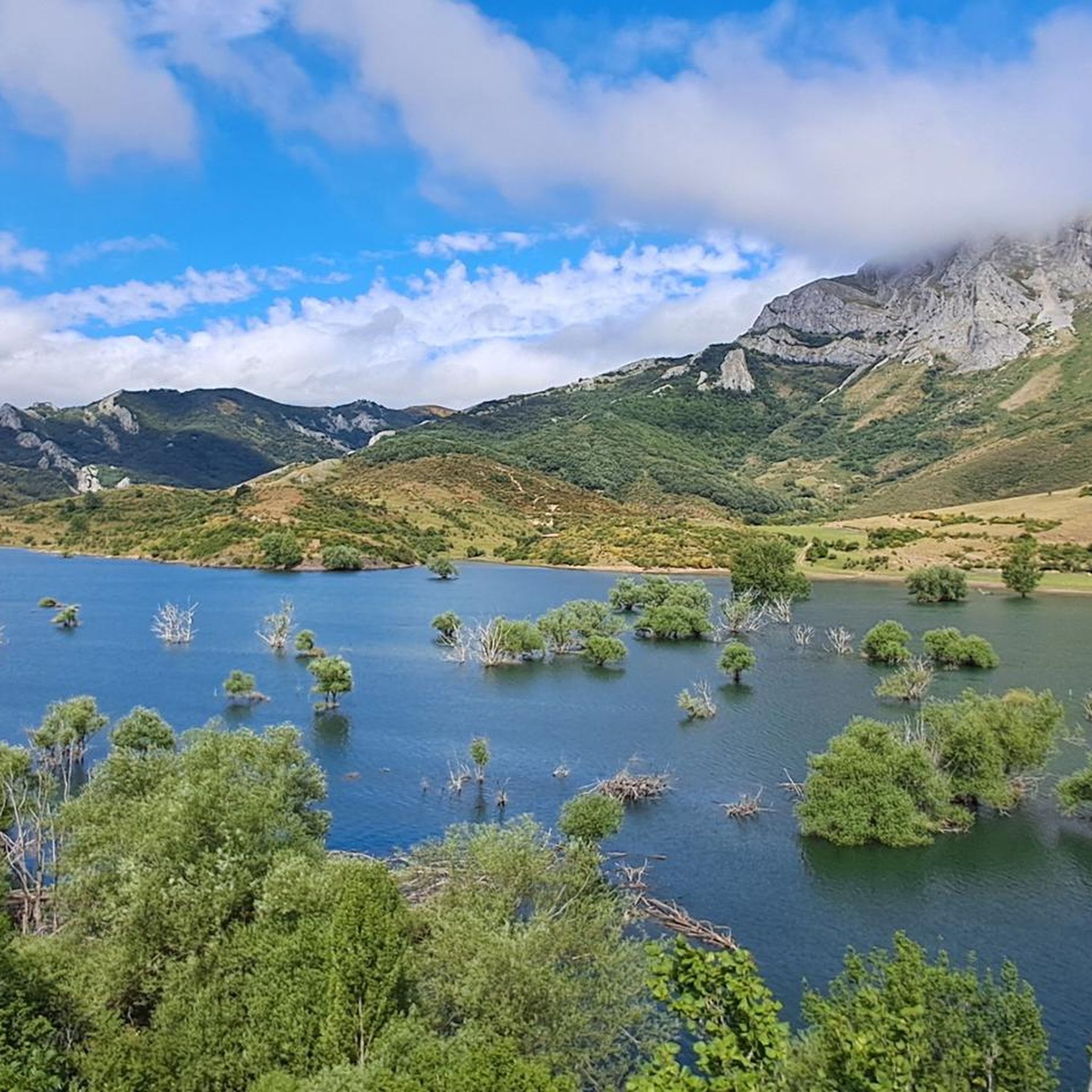
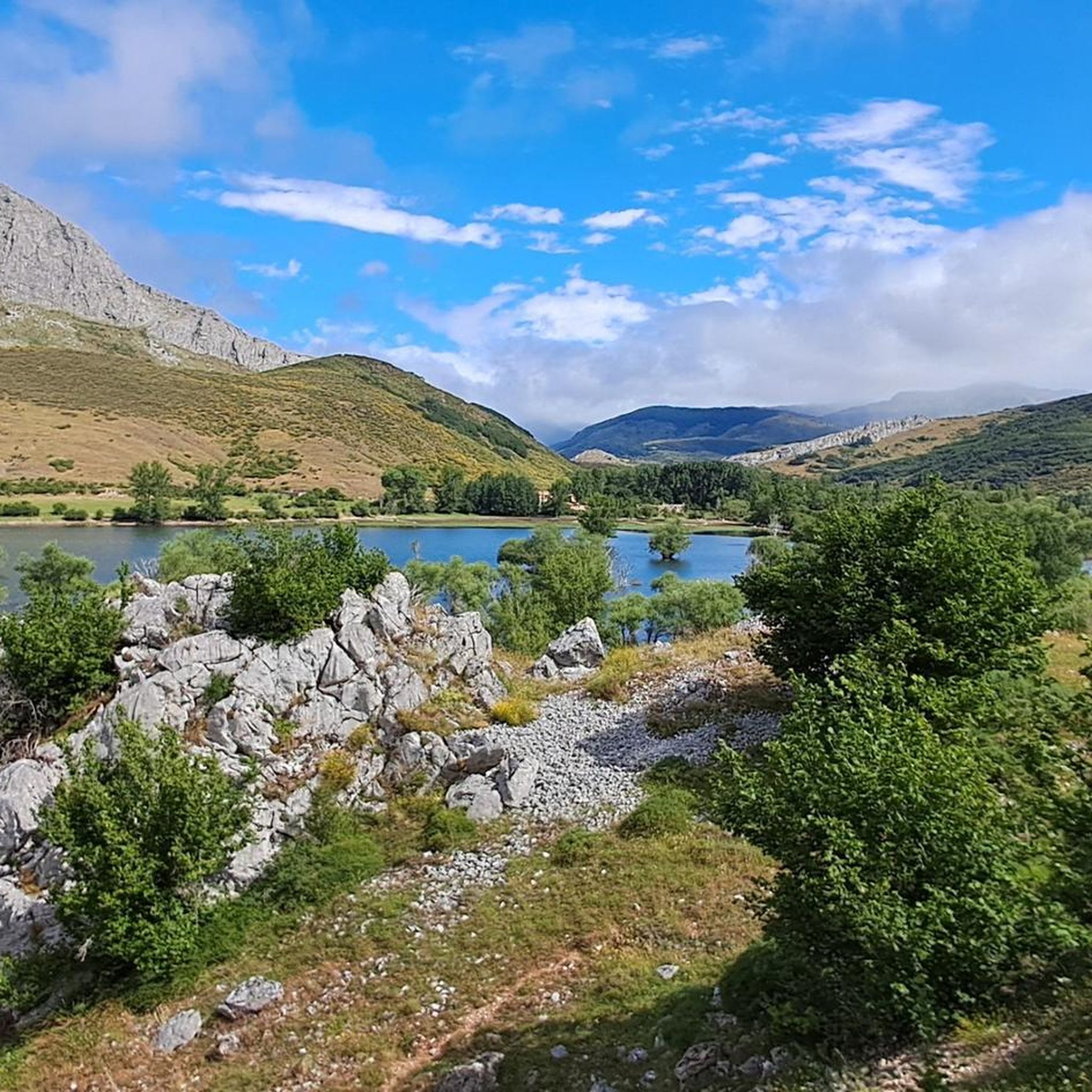
From this viewpoint we can see the Porma reservoir and in the background the large peaks of the area such as Susarón or Peña San Pedro.
2
0
Next to a watering hole and walking near Composolillo, we have a magnificent view of the Porma reservoir.
2
0
Another of the abandoned towns due to the construction of the reservoir. You have to be careful with the mastiffs, we can find them loose in the area.
1
1
Frequently Asked Questions
How many hiking trails are available around Embalse del Porma?
There are over 25 hiking trails in the Embalse del Porma region, catering to various skill levels. You'll find a good mix, with 5 easy routes, 19 moderate options, and 2 more challenging trails for experienced hikers.
Are there any easy hiking trails suitable for beginners or families?
Yes, Embalse del Porma offers several easy trails. A great option is the Cota del Campillo Trail, which is about 5.8 km (3.6 miles) long and provides panoramic views of the reservoir and mountains. It's generally completed in under two hours.
What kind of terrain can I expect on the hiking trails?
The terrain around Embalse del Porma is diverse, featuring transparent reservoir waters, lush forests of birch, beech, and oak, and the imposing Cantabrian Mountains. Trails can range from gentle paths along the reservoir's edge to more significant ascents with varied elevation changes, offering spectacular vistas.
Are there any circular hiking routes in the area?
Yes, circular routes are available. A popular moderate option is the Peña San Pedro (1.599 m) – circular from Lodares trail, which covers approximately 10.2 km (6.3 miles) and offers excellent views from the summit.
What are some notable natural features or viewpoints along the trails?
Hikers can enjoy spectacular views of the reservoir and the Cantabrian Mountains. Prominent peaks like Pico Susarón and Peña San Pedro offer breathtaking panoramas. The Mirador de Vegamián is a dedicated viewpoint providing excellent photo opportunities, and on clear days, you might even spot the snow-capped Picos de Europa in the distance.
Can I explore historical sites or abandoned villages while hiking?
Yes, a unique aspect of hiking here is the opportunity to visit abandoned villages like Utrero and Camposolillo, which were submerged or affected by the reservoir's construction. The Abandoned Village of Utrero loop from Rucayo is a moderate 8.35 km trail that allows you to explore these poignant historical remnants and enjoy elevated views of the reservoir.
What do other hikers say about the trails in Embalse del Porma?
The trails in Embalse del Porma are highly regarded by the komoot community, with an average rating of 4.7 out of 5 stars from over 40 reviews. Hikers frequently praise the diverse scenery, the clear waters of the reservoir, and the well-maintained paths that cater to various fitness levels.
Are there any longer, more challenging trails for experienced hikers?
For those seeking a longer experience, the Porma Reservoir Trail (PR-LE 15) is a moderate 17.5 km (10.9 miles) path that follows the reservoir's edge, showcasing its expansive waters and diverse flora. For a significant ascent, consider the Pico Susarón from Puebla de Lillo, which involves a substantial elevation gain over 11.5 km.
Is Embalse del Porma suitable for activities other than hiking?
Absolutely. Beyond hiking, the reservoir is excellent for non-motorized water sports such as sailing, kayaking, and rafting. The surrounding terrain is also popular for cycling and mountain biking. Additionally, the Museo de la Fauna Salvaje (Wildlife Museum) in Valdehuesa, located on the shores of the reservoir, offers an educational experience with over 8,000 animal species.
What is the best time of year to go hiking in Embalse del Porma?
Embalse del Porma offers beautiful scenery throughout the year. Spring and autumn provide pleasant temperatures and vibrant colors, making them ideal for hiking. Summer is also popular, especially for combining hikes with water activities. In winter, the mountains can be snow-capped, offering a different, often dramatic, landscape, though some higher trails might require appropriate gear.
Are dogs allowed on the hiking trails?
While specific regulations can vary by trail or protected area, generally, dogs are welcome on many trails in the Embalse del Porma region. It's always recommended to keep them on a leash, especially in areas with wildlife or livestock, and to carry waste bags to maintain the natural environment.
Most popular routes around Embalse del Porma

Get inspired with the komoot mobile app


Explore more
Browse the best Hikes in other regions.
