The best walks and hikes around Embalse de Cuevas de Almanzora
4.4
(44)
110
hikers
9
hikes
Hiking around Embalse de Cuevas de Almanzora offers diverse landscapes in the province of Almería, Andalusia, Spain. The region is characterized by the large man-made reservoir, which provides a striking contrast with the surrounding semi-arid desert terrain. Hikers can expect views across the expansive water body and undulating land, with trails often following the reservoir's edge or leading into historical mining areas. The area's natural features include varied terrain fed by the Almanzora River and opportunities for wildlife observation, particularly…
Last updated: July 4, 2026
4.6
(5)
10
hikers
Hard hike. Very good fitness required. Easily-accessible paths. Suitable for all skill levels.
4.6
(9)
19
hikers
Moderate hike. Good fitness required. Easily-accessible paths. Suitable for all skill levels.

Sign up for free
4.5
(4)
13
hikers
9.74km
02:35
100m
100m
Moderate hike. Good fitness required. Easily-accessible paths. Suitable for all skill levels.
4.6
(5)
18
hikers
12.4km
03:49
440m
440m
Moderate hike. Good fitness required. Easily-accessible paths. Suitable for all skill levels.
3.9
(7)
21
hikers
16.7km
04:35
270m
270m
Moderate hike. Good fitness required. Easily-accessible paths. Suitable for all skill levels.
Get access to more routes and recommendations from other explorers.
Sign up for free
Already have an account?
Our route recommendations are based on thousands of hikes, rides, and runs completed by other people on komoot.
Start today with a free account
Your next adventure awaits.
Login or Signup
Tips from the Community

You are allowed to walk here. Watch out for cyclists and other traffic. The route is easy to do, except for the part along the canal. Deviate from the route here and take the road for cyclists
0
0


Little remains of the ruins, but it remains impressive in such a beautiful location.
0
0

it is an abandoned mine, so not a well-maintained tourist attraction. Therefore, take your common sense with you.
2
0

The tour begins at point B. I only recorded the way back!!!
0
0
Route hike, approx. 10 KM in total. The route goes uphill along the reservoir on a wide gravel path. The view falls on the barren mountains. Later the vegetation becomes greener and more lush. The path narrower and rockier.
0
0

impressive view of the ruin
0
0
Frequently Asked Questions
What kind of landscapes can I expect to see while hiking around Embalse de Cuevas de Almanzora?
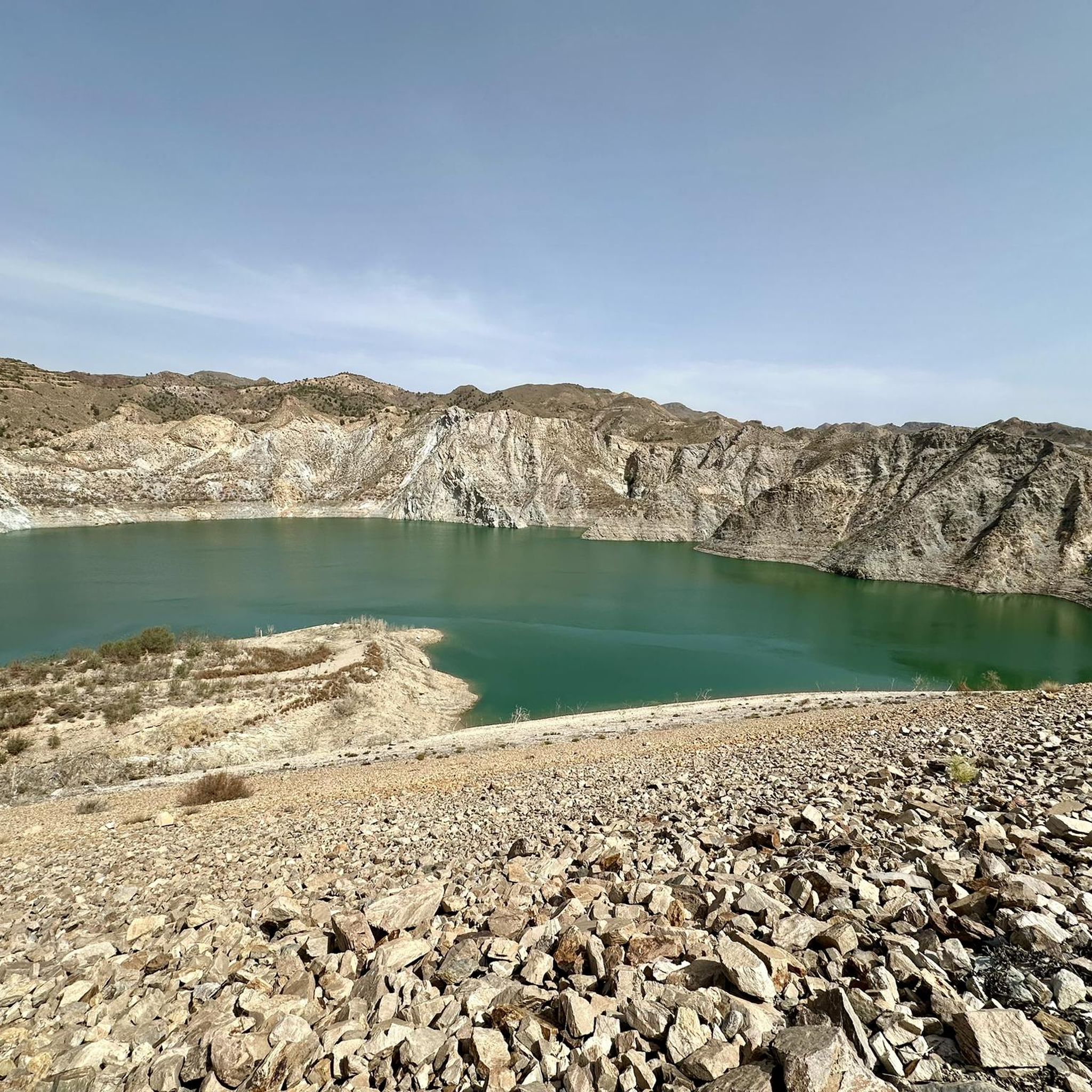
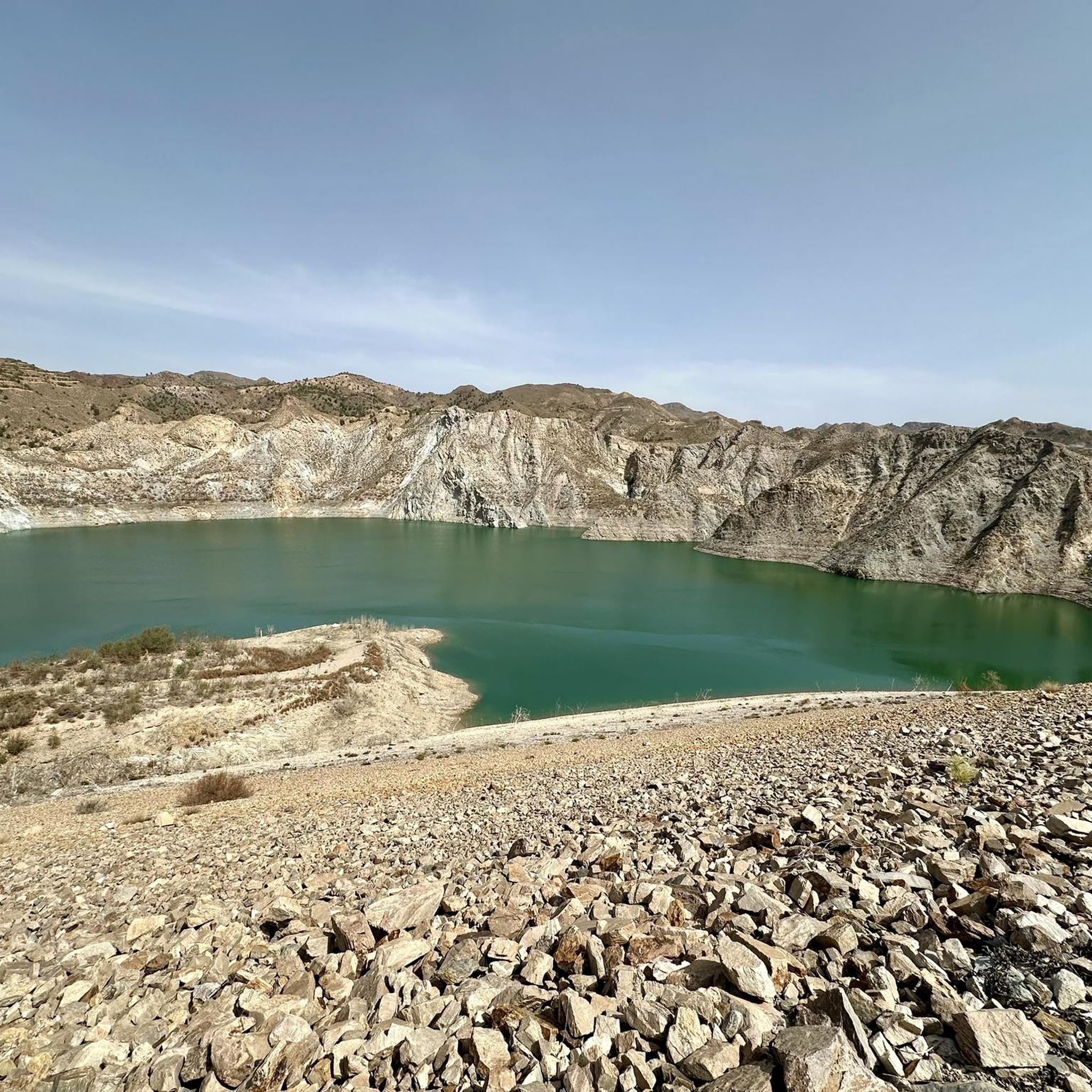
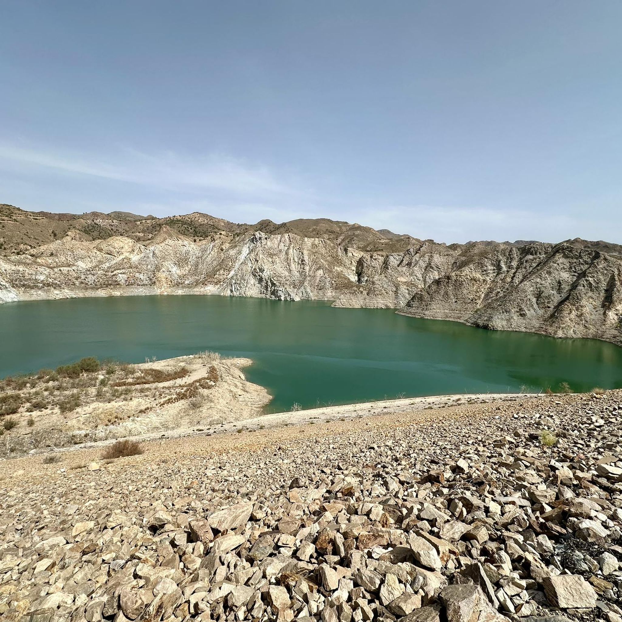
The region offers a diverse landscape, from serene lake views where mountains reflect in the water to dynamic terrain featuring mountains and ravines. You can also expect to see bushy, herbaceous, and non-forest scrublands, and from higher vantage points, even glimpses of the sea in the distance.
Are there any easy hiking trails suitable for beginners or a relaxed walk?
Yes, there are several options for easier walks. For a pleasant path with views of the reservoir, consider the Walking Path Along the Canal – View of the Abandoned Mine loop from Canal de Remo de Cuevas de Almanzora, which is a moderate 9.4 km route. Another moderate option is the Camino Antiguo de Almajalejo loop from Huércal-Overa, covering 9.1 km.
What are some notable historical or natural attractions to look out for on the trails?
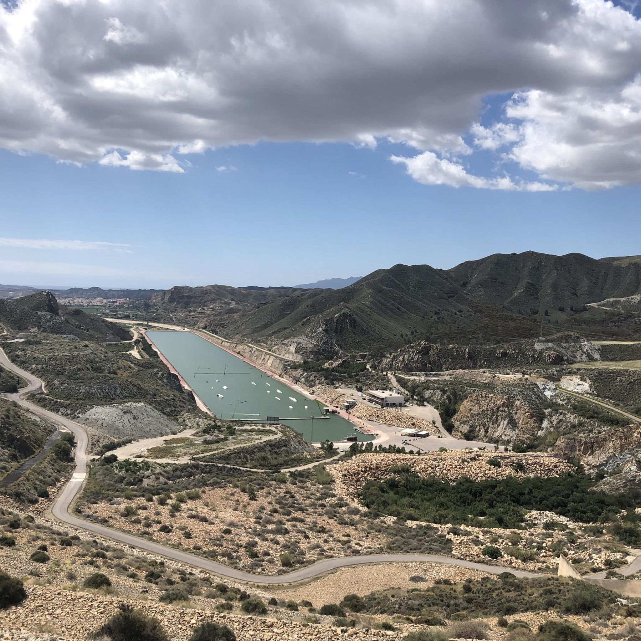
Beyond the reservoir itself, which features an impressive dam and the Mirador del Pantano (reservoir viewpoint), you can explore historical sites. These include the Castillo de Cuevas del Almanzora and the Ruins of Huércal la Vieja Fortress. Some trails, like the Tres Pacos Mine – View of the Abandoned Mine loop, also offer insights into the area's mining history.
Can I find circular hiking routes in the Embalse de Cuevas de Almanzora area?
Yes, many of the trails in the region are circular, allowing you to start and end at the same point. Examples include the challenging Tres Pacos Mine – View of the Abandoned Mine loop, the moderate Hiking loop from Huércal-Overa, and the Camino Antiguo de Almajalejo loop from Huércal-Overa.
What is the best time of year to go hiking in Embalse de Cuevas de Almanzora?
The region experiences a semi-arid climate, making spring and autumn ideal for hiking when temperatures are milder. Summers can be very hot, and while winters are generally mild, it's always wise to check local weather forecasts before heading out.
How many hiking trails are available in Embalse de Cuevas de Almanzora?
There are 9 hiking trails available in the Embalse de Cuevas de Almanzora region, catering to various skill levels from easy to difficult.
What kind of wildlife might I encounter while hiking here?
The Embalse de Cuevas de Almanzora is home to diverse fauna. Birdwatchers can spot cormorants, royal and common herons, and various types of ducks. Mammals such as wild boars, goats, wildcats, rabbits, and moles also inhabit the area. The region is part of the Alto de Almagro Special Area of Conservation, known for species like the Greek Tortoise.
What do other hikers say about the trails in Embalse de Cuevas de Almanzora?
The trails in Embalse de Cuevas de Almanzora are highly rated by the komoot community, with an average score of 4.4 stars from nearly 40 reviews. Hikers often praise the varied terrain, the stunning reservoir views, and the opportunities to explore historical mining areas.
Are there any challenging routes for experienced hikers?
Yes, for experienced hikers looking for a challenge, the Tres Pacos Mine – View of the Abandoned Mine loop from Presa de Cuevas del Almanzora is a difficult 23.1 km trail with significant elevation changes, typically taking around 6 hours and 45 minutes to complete.
Are there any trails that offer views of the sea?
While the primary focus is the reservoir and surrounding mountains, from higher vantage points within the region, hikers can occasionally catch glimpses of the sea in the distance, adding an extra dimension to the scenic beauty.
What is the longest hiking trail in the area?
The longest hiking trail available is the Tres Pacos Mine – View of the Abandoned Mine loop from Presa de Cuevas del Almanzora, which spans 23.1 km and is classified as difficult.
Most popular routes around Embalse de Cuevas de Almanzora

Get inspired with the komoot mobile app


Explore more
Browse the best Hikes in other regions.
