The best road cycling routes around Upper Tully
4.0
(21)
878
riders
58
rides
Road cycling routes around Upper Tully are characterized by well-paved surfaces and varied elevation, traversing the North Quabbin Region of Central Massachusetts. The area features a network of roads that wind through diverse natural landscapes, including forests, riverbanks, and wetlands. Cyclists encounter rolling hills and scenic vistas, with routes catering to different fitness levels. The terrain provides opportunities for both moderate and challenging rides, showcasing the region's natural beauty.
Best road cycling routes around Upper Tully
- The most popular road…
Last updated: May 16, 2026
1
riders
38.6km
01:55
420m
420m
Moderate road ride. Good fitness required. Some segments of this route may be unpaved and difficult to ride.
1
riders
136km
06:29
1,520m
1,520m
This difficult 84.5-mile road cycling loop from Londonderry through the Sperrin AONB offers challenging climbs and panoramic views.

Sign up for free
51
riders
83.6km
03:27
400m
400m
Moderate road ride. Good fitness required. Mostly well-paved surfaces and easy to ride.
20
riders
165km
07:43
1,950m
1,950m
Hard road ride. Very good fitness required. Mostly well-paved surfaces and easy to ride.
24
riders
41.2km
01:45
210m
210m
Easy road ride. Great for any fitness level. Mostly well-paved surfaces and easy to ride.
Get access to more routes and recommendations from other explorers.
Sign up for free
Already have an account?
Our route recommendations are based on thousands of hikes, rides, and runs completed by other people on komoot.
Start today with a free account
Your next adventure awaits.
Login or Signup
Popular around Upper Tully
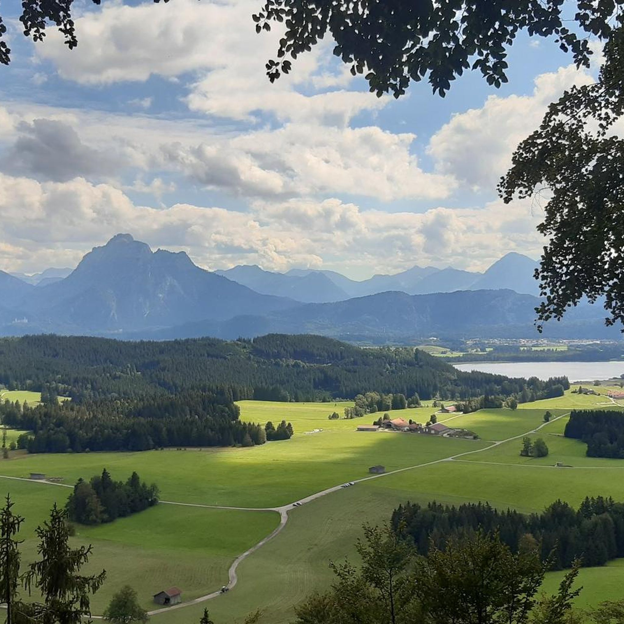

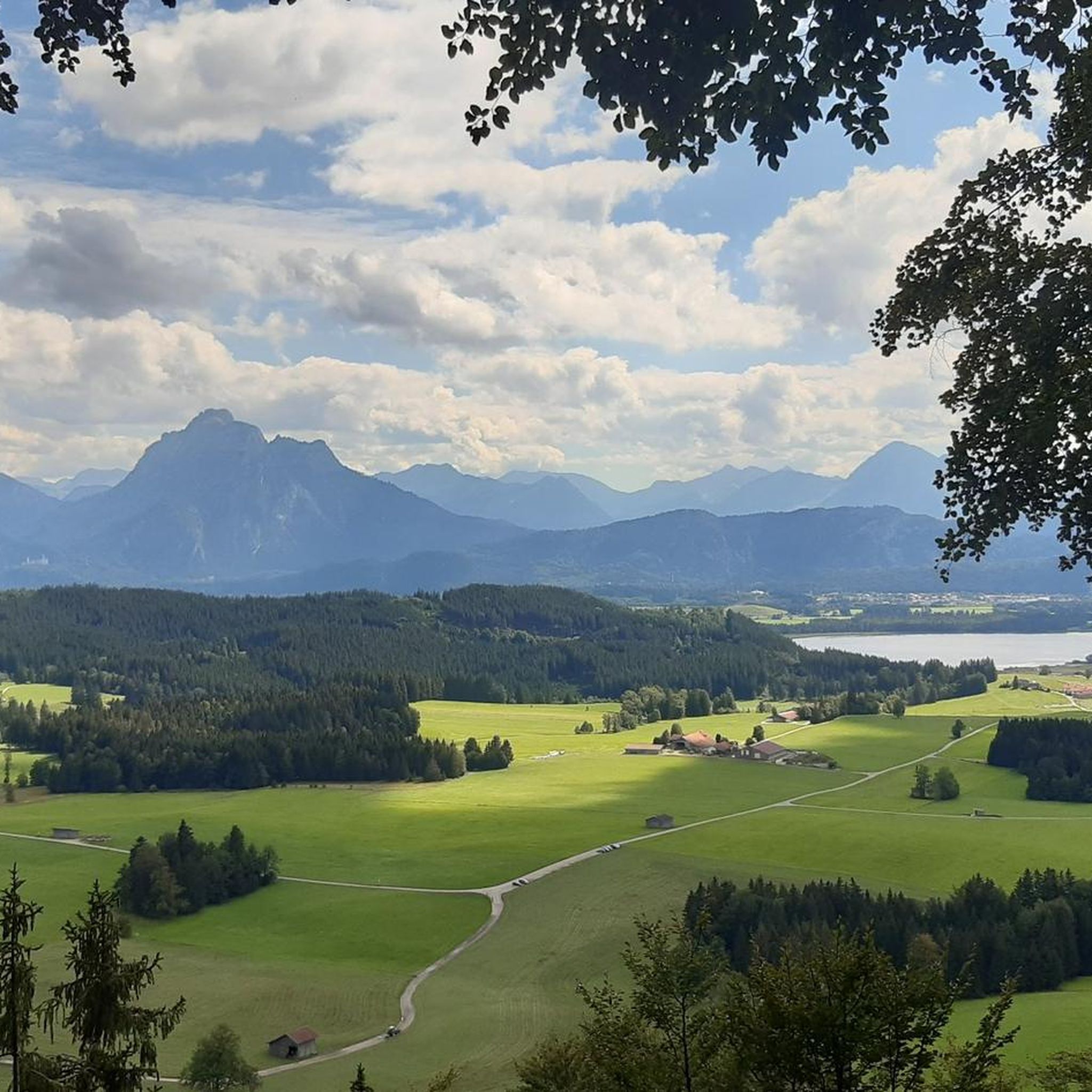
Tips from the Community


From Belfast International Airport, Derry is reached after a change in Antrim (15 min by bus) and 90 min by train. Right on the river, on the Waterside but close to a bridge that takes you to the other side, close to the center.
0
0

Here you have a wonderful view of the Foyle
0
0
Beautiful viewpoint of the Foyle Bridge
0
0

The Peace Bridge is a striking pedestrian and cycle bridge spanning the River Foyle. Opened in 2011, the bridge serves as a symbol of unity, connecting the city's Protestant and Catholic communities. Its distinctive, sweeping design by architect WilkinsonEyre has garnered international acclaim.
0
0
This traffic-free cycle path runs alongside the River Foyle, and is part of the Foyle Valley cycle route connecting Derry City to the border towns of Lifford and Strabane. The River Foyle is 80 miles long (129 km) and is one of the fastest flowing rivers in Europe for its size.
1
0
Frequently Asked Questions
How many road cycling routes are available in Upper Tully?
Upper Tully offers a diverse selection of over 60 road cycling routes. These routes cater to various skill levels, including easy, moderate, and challenging options, allowing every cyclist to find a suitable adventure.
What kind of terrain can I expect on road cycling routes in Upper Tully?
Road cycling in Upper Tully features mostly well-paved surfaces with varied elevation. You'll encounter rolling hills, dense forests, riverbanks, and wetlands, providing a mix of moderate climbs and scenic descents through the picturesque North Quabbin Region.
Are there any easy road cycling routes suitable for beginners or families in Upper Tully?
Yes, Upper Tully has over 10 easy road cycling routes. These paths are designed to be less strenuous, offering a gentle introduction to the region's beauty. While specific family-friendly routes are not detailed, the easier options are generally suitable for those seeking a relaxed ride.
Where can I find challenging road cycling routes in Upper Tully?
For experienced cyclists seeking a challenge, Upper Tully offers over 10 difficult routes. These often include significant elevation gains and longer distances, traversing the hilly terrain around features like Tully Mountain. Routes in the vicinity, such as the 'Tully Lake – Gays Hill loop', require good fitness due to their length and elevation.
What are some scenic viewpoints or natural attractions I can see while road cycling in Upper Tully?
The Upper Tully area is rich in natural beauty. Cyclists can enjoy panoramic vistas from points like Jacobs Hill, and routes often pass by the serene Tully Lake. The region is also home to stunning waterfalls such as Doane's Falls, Spirit Falls, and Royalston Falls, which make for beautiful rest stops or destinations, especially during high runoff periods.
Are there loop road cycling routes in Upper Tully?
Yes, the region offers several loop road cycling routes. For example, the 'Tully Lake – Gays Hill loop from Tully Lake' is a well-known moderate option. Other loops, like the 'Church Hill loop from Lake Dennison Picnic & Swim Area' and the broader 'Tully Lake loop from Athol', also provide scenic circular journeys.
What do other road cyclists say about the routes in Upper Tully?
The road cycling routes in Upper Tully are highly rated by the komoot community, with an average score of 4.0 stars from over 20 reviews. Cyclists often praise the well-maintained roads, varied terrain, and the serene natural ambiance of the forests and waterways.
Can I find routes that pass by Tully Lake?
Absolutely. Tully Lake is a central feature of the region, and many road cycling routes are designed to offer picturesque views of the 1,262-acre reservoir. The 'Tully Lake loop from Athol' is one such example that allows cyclists to experience the beauty of the lake and its surroundings.
What is the best season for road cycling in Upper Tully?
While road cycling is enjoyable throughout the warmer months, the changing foliage in the fall makes for a particularly breathtaking experience in Upper Tully. The diverse forests offer vibrant colors, enhancing the scenic appeal of the routes.
Are there routes that explore the forests and wetlands of Upper Tully?
Many road cycling routes in Upper Tully traverse through dense forests, along riverbanks, and near wetlands. The Royalston and Warwick State Forests, encompassing over 7,000 acres, contribute to the area's serene and natural ambiance, providing cyclists with diverse ecosystems to explore.
What is the typical elevation gain on road cycling routes in Upper Tully?
The elevation gain varies significantly across routes in Upper Tully. While easy routes have minimal climbs, moderate routes can feature several hundred meters of ascent. Challenging routes, such as those around Tully Mountain, can involve substantial elevation changes, offering rewarding climbs for fitter cyclists.
Most popular routes around Upper Tully
Most popular attractions around Upper Tully

Get inspired with the komoot mobile app


Explore more
Browse the best Road cycling routes in other regions.
