The best walks and hikes around Carmzow-Wallmow
4.5
(56)
258
hikers
42
hikes
Hiking around Carmzow-Wallmow offers diverse experiences within the Uckermark district of Brandenburg, Germany. The region is characterized by meadows, fields, and forests, complemented by numerous lakes and rivers. Its topography, shaped by glacial periods, features gently undulating terrain with glacial lakes and extensive woodlands. Carmzow-Wallmow is situated near the Schorfheide-Chorin Biosphere Reserve and the Uckermark Lakes Nature Park, providing varied natural landscapes for outdoor activities.
Best hiking trails around Carmzow-Wallmow
- The most popular hiking route is Brüssow Village Church –…
Last updated: August 22, 2026
4.4
(22)
90
hikers
5.25km
01:20
20m
20m
Easy hike. Great for any fitness level. Easily-accessible paths. Suitable for all skill levels.
4.3
(3)
11
hikers
9.32km
02:24
40m
40m
Moderate hike. Good fitness required. Easily-accessible paths. Suitable for all skill levels.

Sign up for free
4.3
(3)
10
hikers
6.69km
01:44
40m
40m
Easy hike. Great for any fitness level. Easily-accessible paths. Suitable for all skill levels.
5.0
(1)
6
hikers
Easy hike. Great for any fitness level. Easily-accessible paths. Suitable for all skill levels.
5.0
(3)
11
hikers
Moderate hike. Good fitness required. Easily-accessible paths. Suitable for all skill levels.
Get access to more routes and recommendations from other explorers.
Sign up for free
Already have an account?
Our route recommendations are based on thousands of hikes, rides, and runs completed by other people on komoot.
Start today with a free account
Your next adventure awaits.
Login or Signup
Popular around Carmzow-Wallmow
Tips from the Community

The manor house was built around 1710–1720 as a Baroque plastered building. The grounds have significantly older roots. In the immediate vicinity (in the present-day park) are the remains of a medieval motte castle from the 13th century, which served as a fortification.
0
0
During the Thirty Years' War, the church was badly damaged and in 1702 was still largely "unfinished". Reconstruction took place from 1702–1724.
0
0
This is a typical swampy alder swamp forest (swamp forest with black alders), which occurs in the Uckermark ground moraine landscape.
0
0
The region is quiet, agricultural and ideal for cycling and hiking tours. Nearby there are other lakes such as the Ganznowsee.
0
0
Brüssower See is a beautiful, nature-close lake in the Uckermark, directly by the northernmost town in the federal state, Brüssow. It is a real gem for nature lovers, families, and those seeking peace.
0
0
The Brüssower See is a beautiful, nature-close lake in the Uckermark (Brandenburg), directly by the northernmost town of the state, Brüssow. It is a real gem for nature lovers, families, and those seeking peace and quiet.
0
0

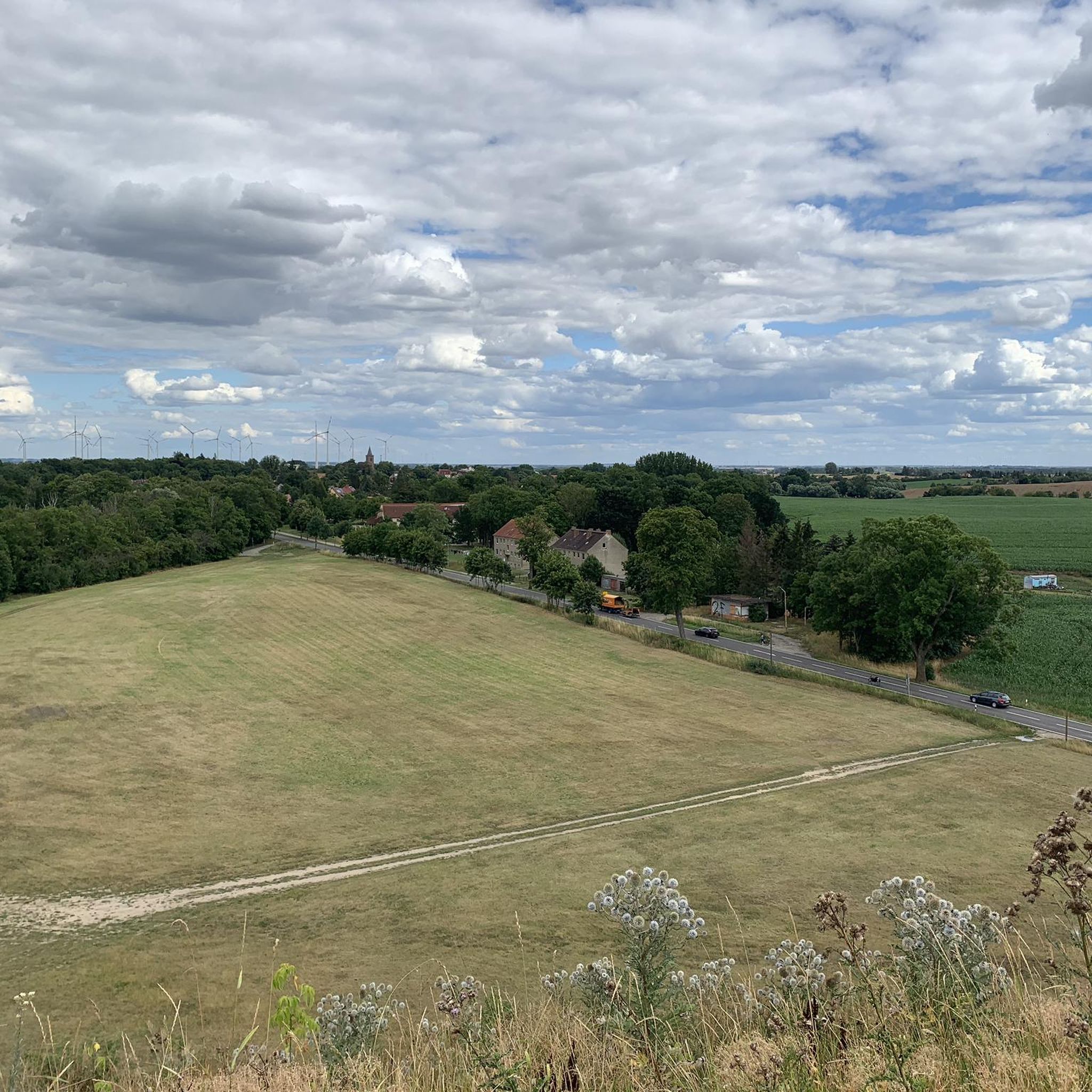
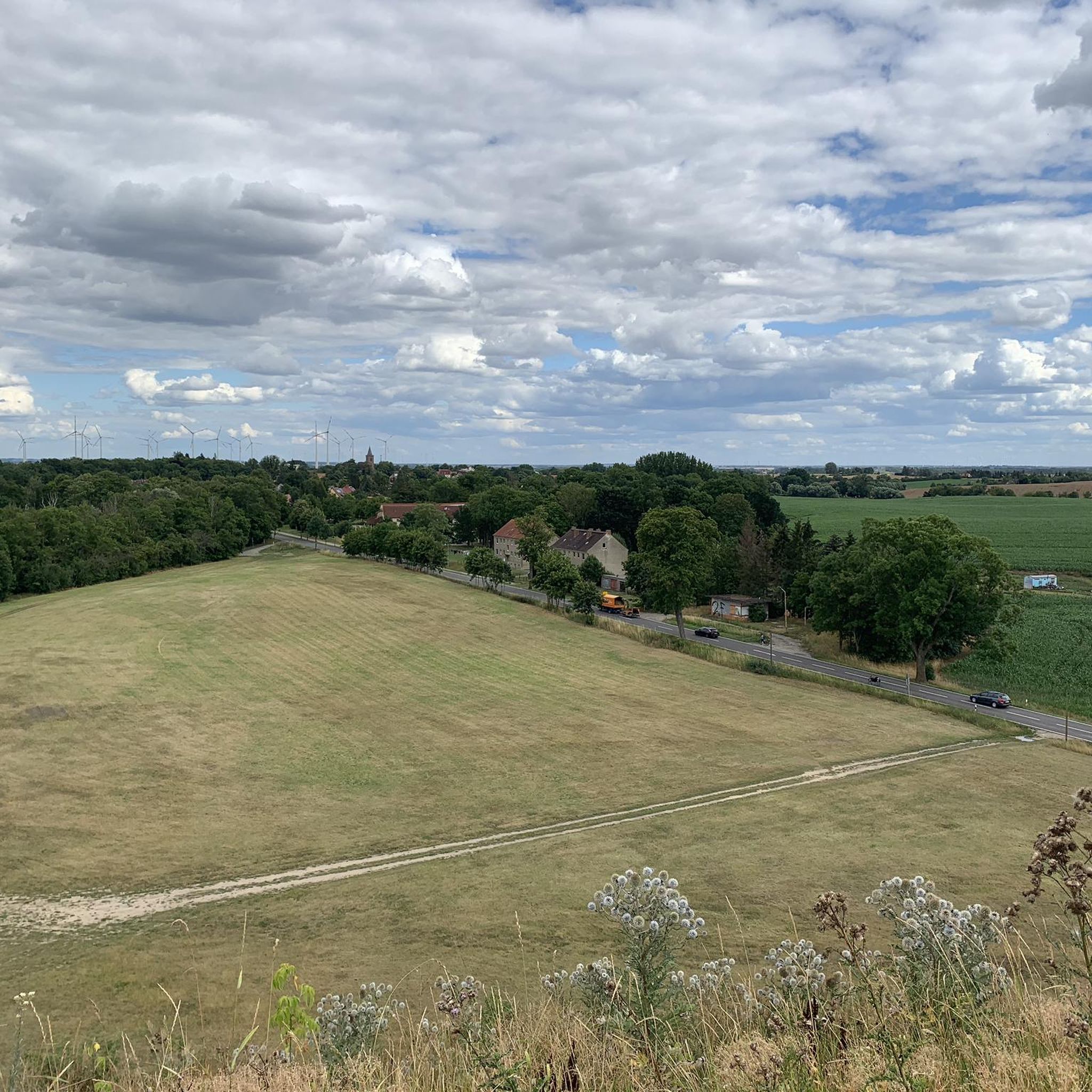
At the end of the tour, you climb the artificially created “mountain” to enjoy a fantastic view.
0
0

if you have a towel with you, you can take a good rest right by the water.
0
0
Frequently Asked Questions
How many hiking trails are available around Carmzow-Wallmow?
There are over 40 hiking routes around Carmzow-Wallmow, offering a variety of experiences. This includes 22 easy routes, 20 moderate routes, and 2 more challenging trails, ensuring options for all fitness levels.
What kind of landscape can I expect when hiking in Carmzow-Wallmow?
The region around Carmzow-Wallmow is characterized by gently undulating terrain, a result of the last ice age. You'll find a diverse landscape of meadows, fields, and forests, complemented by numerous lakes and rivers. It's part of the broader Uckermark region, known for its glacial lakes and extensive woodlands.
Are there any circular hiking routes in Carmzow-Wallmow?
Yes, many routes in the area are circular. For example, the easy Brüssow Village Church – Brüssower See loop from Brüssow takes you past the local church and the lake. Another option is the moderate Baroque Church Grünberg – Grünberg Church loop from Albrechtshof, which explores the rural landscape around Grünberg.
What do other hikers say about the trails in Carmzow-Wallmow?
The trails in Carmzow-Wallmow are highly rated by the komoot community, with an average score of 4.5 stars from over 50 reviews. Hikers often praise the tranquil natural setting, the varied terrain of meadows and forests, and the numerous lakes that provide scenic views.
Are there any interesting landmarks or attractions to see while hiking?
Yes, the area features several points of interest. You can explore historical sites like Penkun Castle or Wartin Castle. There are also charming religious buildings such as the Village Church of Nieden or Rossow Church, which can be incorporated into your hikes.
What is the best time of year to go hiking in Carmzow-Wallmow?
The Uckermark region, including Carmzow-Wallmow, is beautiful throughout the warmer months. Spring brings blooming fields, summer offers pleasant temperatures for lakeside walks, and autumn provides vibrant foliage. The diverse landscapes are enjoyable from spring through fall.
Are there any easy routes suitable for beginners or families?
Absolutely. About half of the trails, 22 routes, are classified as easy. An example is the Grünberg Church – Baroque Church Grünberg loop from Battin, which is 6.7 km long and leads through fields and woodlands, typically taking under two hours to complete.
Can I find longer or more challenging hikes in the area?
While most local routes are easy to moderate, the region is close to long-distance trails like the 155-kilometer 'Uckermärker Landrunde' and the 190-kilometer 'Märkische Landweg'. These trails offer multi-day treks through varied landscapes, including parts of the Uckermärkische Seen Nature Park and the Schorfheide-Chorin Biosphere Reserve.
What natural features are prominent in the Carmzow-Wallmow hiking area?
The area is rich in natural features shaped by glacial activity. You'll encounter numerous glacial lakes, marshes, and extensive woodlands. Carmzow-Wallmow borders the Schorfheide-Chorin Biosphere Reserve and is within the Uckermark Lakes Nature Park, known for its diverse ecosystems and rare wildlife like ospreys and beavers.
Are there any trails that offer views of the Brüssower See?
Yes, several trails provide views of the Brüssower See. The moderate View from Brüssower Utkiek – Brüssower See Bathing Area loop from Brüssow is a great option, covering about 12 km and offering scenic perspectives of the lake.
Is it possible to combine hiking with other outdoor activities like swimming?
Given the abundance of lakes in the Uckermark region, including those near Carmzow-Wallmow, it's very easy to combine hiking with swimming. Many trails pass by idyllic spots perfect for a refreshing dip, especially during warmer months.
What is the typical elevation gain on hikes around Carmzow-Wallmow?
The terrain around Carmzow-Wallmow is generally gently undulating rather than mountainous. Most hikes feature relatively modest elevation gains. For instance, an easy route like the Brüssow Village Church – Brüssower See loop from Brüssow has an elevation gain of around 18 meters, while moderate trails might have up to 50 meters of ascent.
Most popular attractions around Carmzow-Wallmow

Get inspired with the komoot mobile app


Explore more
Browse the best Hikes in other regions.
