The best running trails around Embalse de Camporredondo
5.0
(1)
211
runners
14
runs
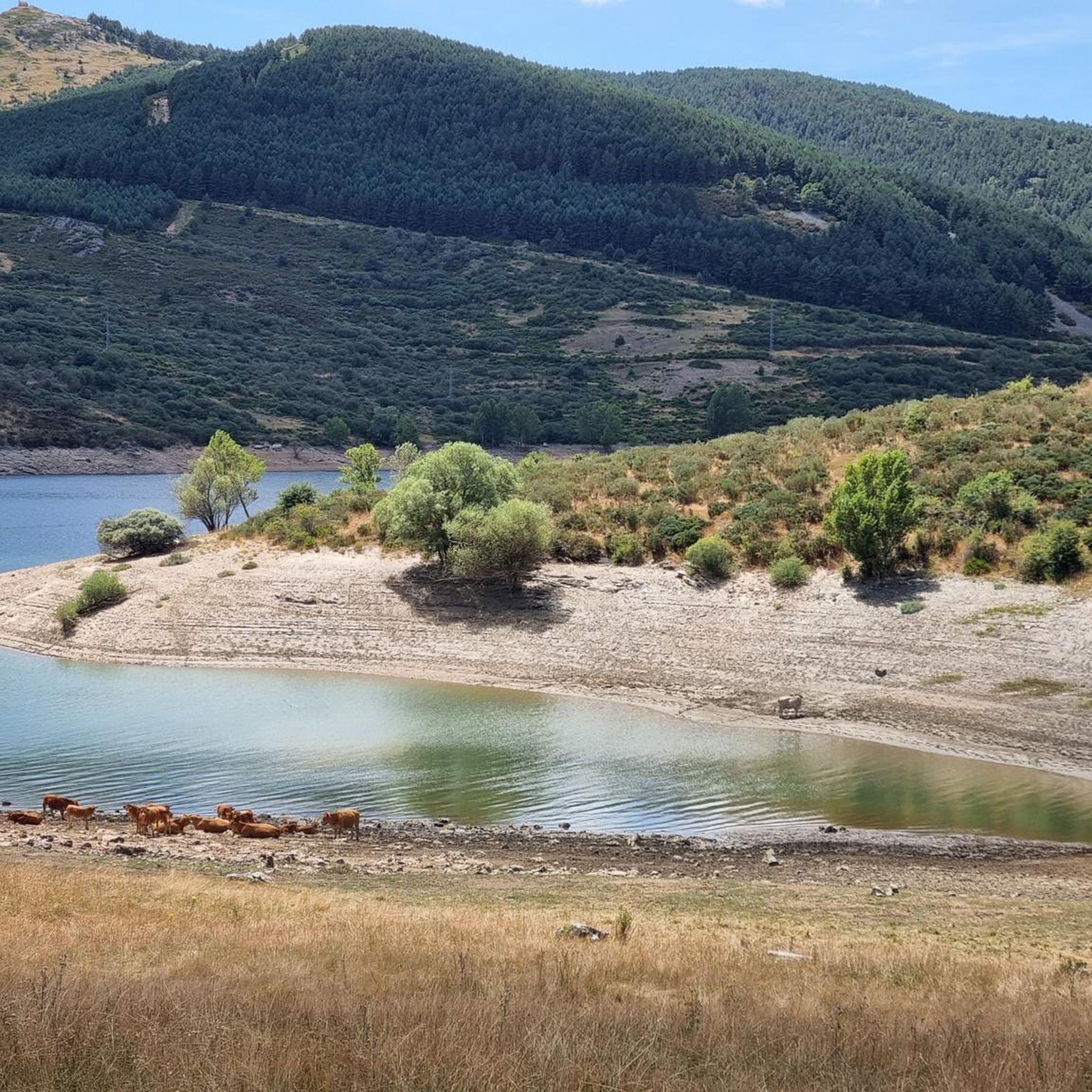
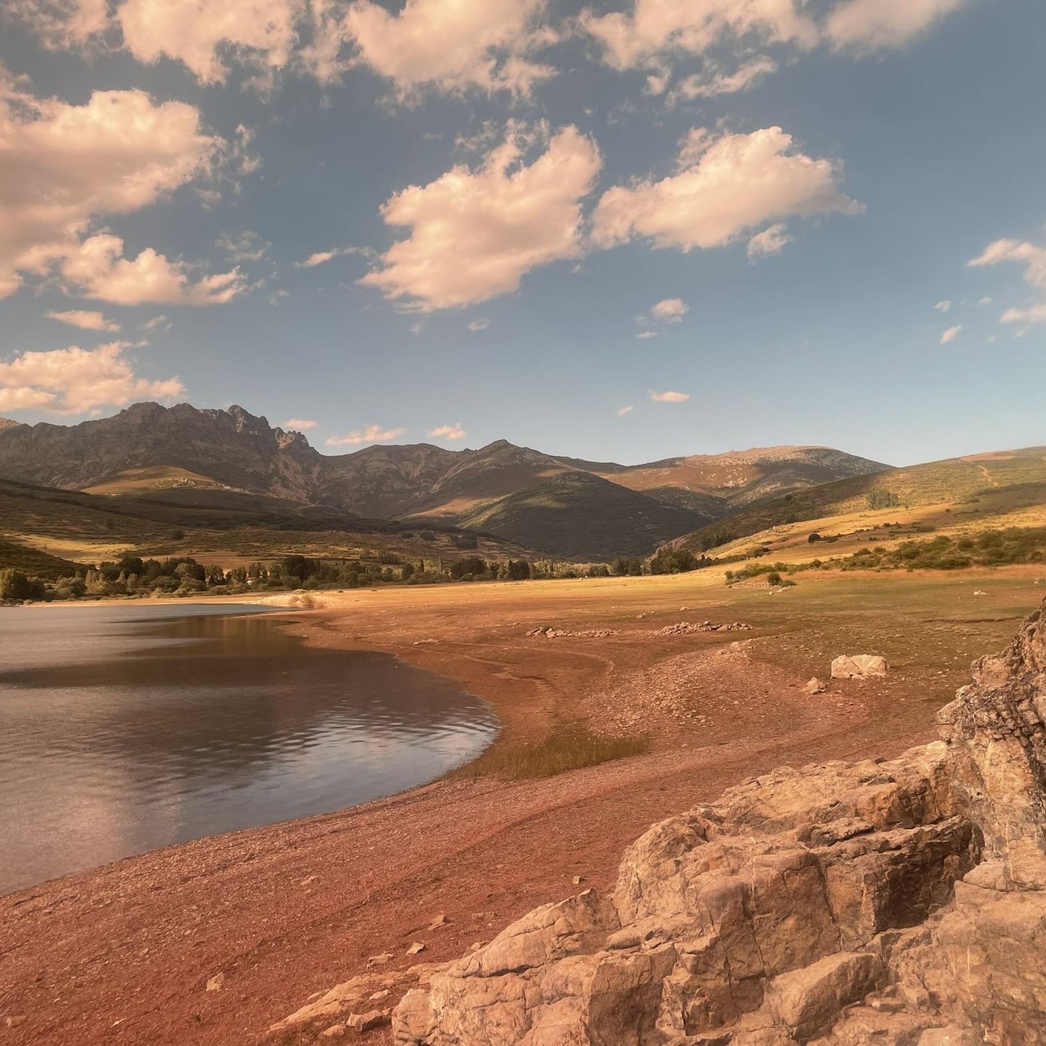
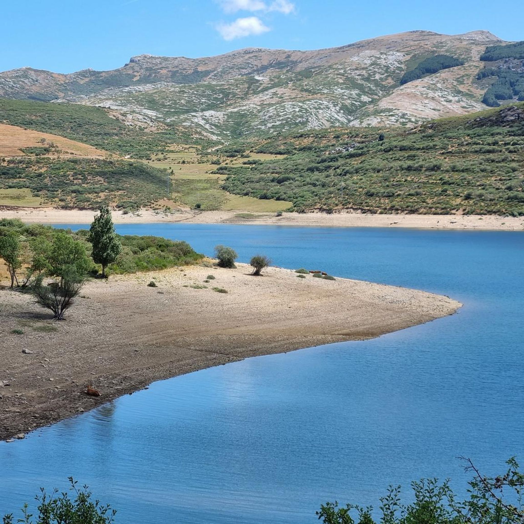
Jogging routes around Embalse de Camporredondo traverse the mountainous terrain of Montaña Palentina, characterized by glacial formations and diverse ecosystems. The region features forests of beech, oak, and birch, alongside the Carrión River which feeds the reservoir. These running trails offer a variety of experiences within a natural setting, with the reservoir itself being part of the "Ruta de los Pantanos."
Best jogging routes around Embalse de Camporredondo
- The most popular jogging route is Sima del Anillo loop from Salto…
Last updated: May 20, 2026
15
runners
28.4km
04:18
1,190m
1,190m
Hard run. Very good fitness required. Sure-footedness, sturdy shoes and alpine experience required.
4
runners
16.5km
02:31
770m
770m
Hard run. Very good fitness required. Sure-footedness, sturdy shoes and alpine experience required.

Sign up for free
47
runners
9.47km
03:23
1,060m
1,060m
Tackle the challenging 5.9-mile Espigüete Eastern ridge trailrunning route, featuring the Mazobre waterfall and stunning Montaña Palentina v
39
runners
33.0km
06:17
2,260m
2,260m
Hard run. Very good fitness required. Sure-footedness, sturdy shoes and alpine experience required.
8
runners
21.4km
03:51
1,350m
1,350m
Hard run. Very good fitness required. Sure-footedness, sturdy shoes and alpine experience required.
Get access to more routes and recommendations from other explorers.
Sign up for free
Already have an account?
Our route recommendations are based on thousands of hikes, rides, and runs completed by other people on komoot.
Start today with a free account
Your next adventure awaits.
Login or Signup
Tips from the Community

The Mazobre Waterfall, located in the Palentina Mountains within the Fuentes Carrionas and Fuente Cobre Natural Park, is one of the most spectacular spots in the province of Palencia. It is located near Cardaño de Arriba, in the municipality of Velilla del Río Carrión.
1
0

Spectacular to see it frozen and to be able to walk on it
0
0

A beautiful waterfall that can be reached after a short and relatively easy hike. The cool water is wonderfully refreshing after a walk in the sun.
1
0

This is the perfect place to see the highest waterfall in the Palentina Mountain and the Palencia Natural Park. If you continue along the trail there is another small trail that takes you to the base of the falls. It's worth going off the trail just to check it out.
0
0
It is a very beautiful trail that goes from the Pinollano parking lot to La Cascada del Mazobre. It is a popular hike and not too difficult for biking.
0
0
Here is the dam that creates the Camporredondo Reservoir. From this place you can follow paths and trails that surround the entire reservoir. This reservoir dates back to the 1930s.
0
0

The Camporredondo reservoir regulates the course of the Carrión river and creates an irrigable area of great importance for the province. Built in 1930, the reservoir is part of the "Ruta de los Pantanos" together with the reservoirs of Aguilar de Campoo, Ruesga, Requejada and Compuerto.
2
0

Palencia summit located in the town of Cardaño de Abajo which can be ascended by several routes, although several of them present a fairly high technical difficulty.
1
1
Frequently Asked Questions
How many running routes are available around Embalse de Camporredondo?
There are nearly 20 dedicated running routes around Embalse de Camporredondo, offering a variety of experiences for different skill levels. These trails traverse the stunning mountainous terrain of Montaña Palentina.
What is the general difficulty level of jogging trails in this region?
The majority of jogging routes around Embalse de Camporredondo are considered difficult, with 15 out of 17 routes falling into this category. However, there are also 2 moderate routes available for those seeking a less strenuous run. The region's landscape, shaped by glacial activity, often involves significant elevation changes.
Are there any running routes that feature waterfalls?
Yes, several running routes offer views of the beautiful Mazobre Waterfall. For example, the View of Mazobre Waterfall loop from Triollo is a moderate 5.9 km trail. Another option is the more challenging Espigüete East Ridge and Mazobre Waterfall Loop, which covers 9.5 km through mountainous landscapes.
Can I find circular running routes in the Embalse de Camporredondo area?
Many of the running routes in the region are designed as loops, allowing you to start and finish at the same point. Examples include the Sima del Anillo loop from Salto de agua, a difficult 16.2 km path, and the View of Mazobre Waterfall loop from Valdegrullas, a challenging 31.6 km route.
What kind of natural features can I expect to see while running here?
The region is rich in natural beauty, characterized by high-mountain landscapes, impressive glacial valleys, and diverse forests of beech, oak, and birch. The Embalse de Camporredondo itself is a central feature, fed by the Carrión River, and sits at the foot of Pico Espigüete. You might also spot diverse wildlife, including deer during the autumn rut.
Are there any family-friendly jogging options around Embalse de Camporredondo?
While many routes are difficult, the trail directly around Embalse de Camporredondo is generally considered easy, spanning approximately 6.18 km with minimal elevation change. This makes it a suitable option for families or those looking for a more relaxed run. The tranquil environment and scenic views are enjoyable for all.
What do other runners say about the trails in Embalse de Camporredondo?
The running routes in Embalse de Camporredondo are highly rated by the komoot community, with an average score of 5.0 stars. Over 270 runners have explored the varied terrain, often praising the stunning natural scenery and the invigorating environment for outdoor exercise.
Is there parking available near the running trails?
Yes, parking is generally available at common starting points for trails around Embalse de Camporredondo. For instance, the Collado del Ves – Lago de las Lomas loop starts from Parking Pinollano, indicating designated parking facilities for trail users.
What is the best time of year to go running in Embalse de Camporredondo?
The region offers a refreshing atmosphere for running throughout much of the year. However, the diverse ecosystems and potential for wildlife observation, such as the rutting deer, make autumn particularly appealing. Spring and early summer also provide pleasant conditions with lush greenery, while winter can offer unique, snow-covered landscapes for experienced runners.
Are there any long-distance or challenging running routes for experienced athletes?
Absolutely. For experienced runners seeking a significant challenge, routes like the Collado del Ves – Lago de las Lomas loop from Parking Pinollano stand out. This difficult route covers over 33 km with substantial elevation gain, offering a demanding and rewarding experience through the high-mountain landscape.
Can I combine running with other activities in the area?
Yes, the Embalse de Camporredondo is part of the wider "Ruta de los Pantanos," a popular destination for various outdoor activities. Beyond running, you can enjoy fishing in the reservoir's waters, wildlife observation, and exploring nearby towns with examples of Romanesque architecture, adding cultural interest to your visit.
What kind of terrain should I expect on the running trails?
The terrain around Embalse de Camporredondo is predominantly mountainous, featuring glacial valleys, cirques, and moraines. Trails often involve varied surfaces, from forest paths through beech and oak woods to more rugged sections with significant elevation changes, especially on the difficult routes.
Most popular routes around Embalse de Camporredondo

Get inspired with the komoot mobile app


Explore more
Browse the best Running Trails & Routes in other regions.
