The best road cycling routes around Oughtdoorish
4.0
(1)
83
riders
12
rides
Road cycling routes around Oughtdoorish traverse a landscape characterized by varied terrain, including significant elevation changes. The region offers challenging road cycling experiences, with routes often featuring sustained climbs and descents. These paths navigate through areas with notable natural features, providing diverse backdrops for road cyclists. The routes are designed for those seeking longer distances and considerable ascents.
Best road cycling routes around Oughtdoorish
- The most popular road cycling route is Draperstown, Gortin and Plumbridge loop — Sperrins, a…
Last updated: June 28, 2026
4.0
(1)
1
riders
102km
05:08
1,350m
1,340m
Hard road ride. Very good fitness required. Mostly well-paved surfaces and easy to ride.
33
riders
110km
06:00
1,770m
1,770m
Hard road ride. Very good fitness required. Some segments of this route may be unpaved and difficult to ride.

Sign up for free
9
riders
116km
05:28
1,390m
1,390m
Hard road ride. Very good fitness required. Mostly well-paved surfaces and easy to ride.
9
riders
120km
05:43
1,230m
1,230m
Hard road ride. Very good fitness required. Mostly well-paved surfaces and easy to ride.
8
riders
89.2km
04:15
1,010m
1,010m
Hard road ride. Very good fitness required. Mostly well-paved surfaces and easy to ride.
Get access to more routes and recommendations from other explorers.
Sign up for free
Already have an account?
Our route recommendations are based on thousands of hikes, rides, and runs completed by other people on komoot.
Start today with a free account
Your next adventure awaits.
Login or Signup
Popular around Oughtdoorish
Tips from the Community

Small, cozy coffeeshop in the center of Beltrim, housed in an old bank building. Known as a quiet stopover for cyclists in the Sperrin region, with good coffee, cakes, and a friendly atmosphere. Located close to the river, it forms a logical break point on routes between Omagh, Gortin, and the Sperrins hills.
8
0
The Newtownstewart Stone Bridge is an elegant 18th-century monument that spans the River Mourne with six characteristic arches. This robust stone structure not only forms an important link on the route south, but also offers one of the most beautiful photo opportunities in the region, with a picturesque view of the babbling water and the nearby Stewart Castle.
7
0


From Belfast International Airport, Derry is reached after a change in Antrim (15 min by bus) and 90 min by train. Right on the river, on the Waterside but close to a bridge that takes you to the other side, close to the center.
0
0

Here you have a wonderful view of the Foyle
0
0

In Bigside, a district of Derry that can be seen from the high city walls, the memory of Bloody Sunday is still very much alive. At the foot of the city walls you will find the low gabled structure that can be seen in the background of the historical photos.
1
0
In Derry, the memory of Bloody Sunday is still very present, especially in the Bogside district, the scene of the attack.
1
0

The Peace Bridge is a striking pedestrian and cycle bridge spanning the River Foyle. Opened in 2011, the bridge serves as a symbol of unity, connecting the city's Protestant and Catholic communities. Its distinctive, sweeping design by architect WilkinsonEyre has garnered international acclaim.
0
0
Frequently Asked Questions
How many road cycling routes are available in Oughtdoorish?
Oughtdoorish offers a selection of over 10 dedicated road cycling routes. These routes are known for their varied terrain and significant elevation changes, providing a challenging experience for cyclists.
Are there any easy road cycling routes for beginners in Oughtdoorish?
The road cycling routes in Oughtdoorish are primarily designed for experienced cyclists seeking demanding routes. There are no easy routes, and only two are classified as moderate, with the majority being difficult. Cyclists should be prepared for challenging climbs and long distances.
What kind of terrain can I expect on road cycling routes in Oughtdoorish?
Road cycling in Oughtdoorish features varied terrain with significant elevation changes. You can expect sustained climbs and descents, navigating through diverse landscapes that include both urban and rural settings, as seen on routes like the Peace Bridge – Bloody Sunday Murals, Bogside loop from Derry~Londonderry.
What do other road cyclists enjoy most about the routes in Oughtdoorish?
The komoot community rates the road cycling routes in Oughtdoorish highly, with an average score of 4.0 stars. Cyclists often appreciate the challenging climbs, long distances, and the diverse landscapes encountered throughout the region.
Are there any circular road cycling routes in Oughtdoorish?
Yes, many of the road cycling routes in Oughtdoorish are circular, allowing you to start and end at the same point. Examples include the challenging Draperstown, Gortin and Plumbridge loop — Sperrins and the Lough Lark – Goles Stone Row loop from Feeny Road Bus Stop.
What are some of the longest road cycling routes in Oughtdoorish?
For those seeking longer distances, Oughtdoorish offers several extensive routes. The Peace Bridge – Bloody Sunday Murals, Bogside loop from Derry~Londonderry covers 71.4 miles (115.0 km), while the Peace Bridge – River Foyle Cycle Path loop from Derry~Londonderry is even longer at 120.5 km (74.9 miles).
What natural attractions can I see along the road cycling routes in Oughtdoorish?
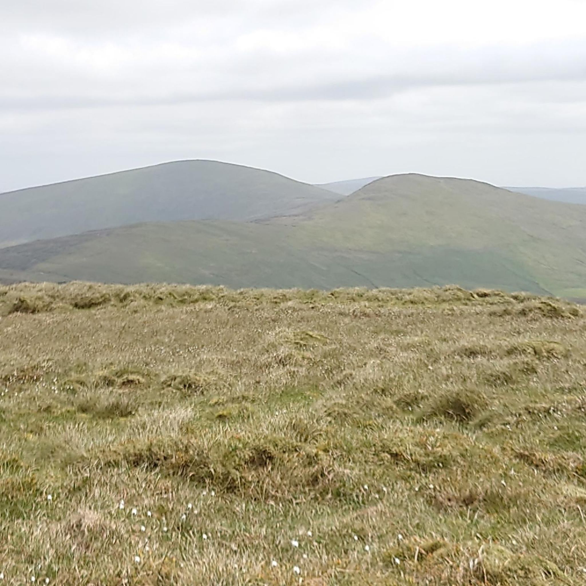
As you cycle through Oughtdoorish, you can encounter various natural monuments and scenic viewpoints. Notable highlights include the Sawel Mountain Summit, Barnes Gap, and the View of the Sperrins Ridge, offering diverse backdrops for your ride.
Are there any historical or man-made landmarks to explore near the cycling routes?
Yes, Oughtdoorish features several interesting landmarks. Cyclists can explore sites such as Learmount Castle and the ancient Aghascrebagh Ogham Stone, which are located near some of the cycling paths.
Is Oughtdoorish suitable for advanced road cyclists?
Absolutely. Oughtdoorish is particularly well-suited for advanced road cyclists. The region's routes are characterized by challenging climbs, significant elevation gains (up to 5,600 feet or 1,721 meters on some routes), and long distances, providing a demanding and rewarding experience.
What is the best time of year for road cycling in Oughtdoorish?
While specific seasonal details are not provided, regions with varied terrain and significant elevation changes like Oughtdoorish are generally best enjoyed during spring, summer, and early autumn. These seasons typically offer more favorable weather conditions for tackling challenging routes.
Are there any routes that pass through urban and rural landscapes?
Yes, some routes in Oughtdoorish offer a mix of urban and rural scenery. The Peace Bridge – Bloody Sunday Murals, Bogside loop from Derry~Londonderry is a prime example, leading through both cityscapes and the surrounding countryside.
What is the average elevation gain on road cycling routes in Oughtdoorish?
The road cycling routes in Oughtdoorish feature considerable elevation gains. For instance, the Draperstown, Gortin and Plumbridge loop — Sperrins includes over 4,400 feet (1,346 meters) of climbing, and the Lough Lark – Goles Stone Row loop from Feeny Road Bus Stop has over 5,600 feet (1,721 meters) of ascent.
Most popular routes around Oughtdoorish
Most popular attractions around Oughtdoorish

Get inspired with the komoot mobile app


Explore more
Browse the best Road cycling routes in other regions.
