The best walks and hikes around Pantano de La Grajera
4.5
(244)
1,898
hikers
158
hikes
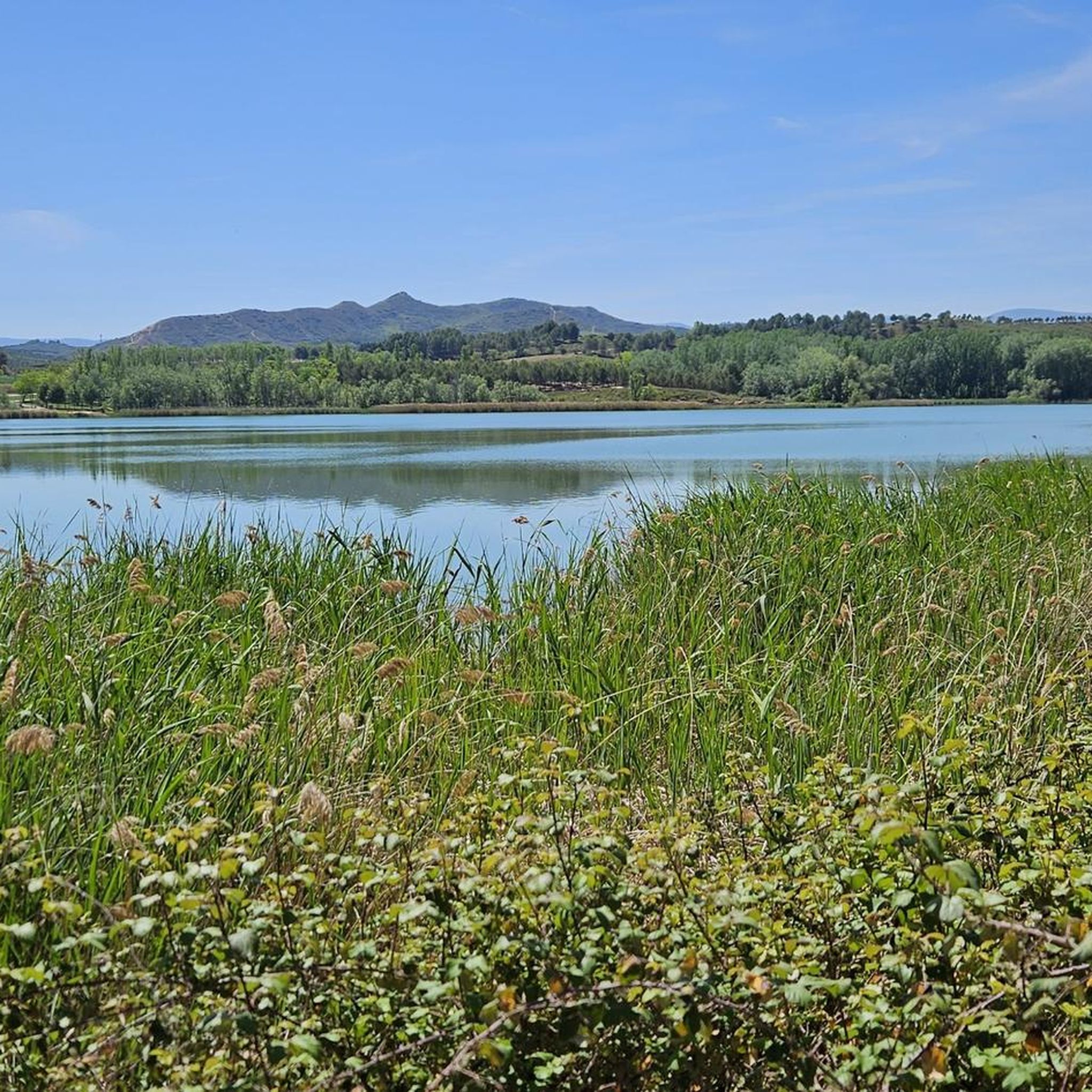
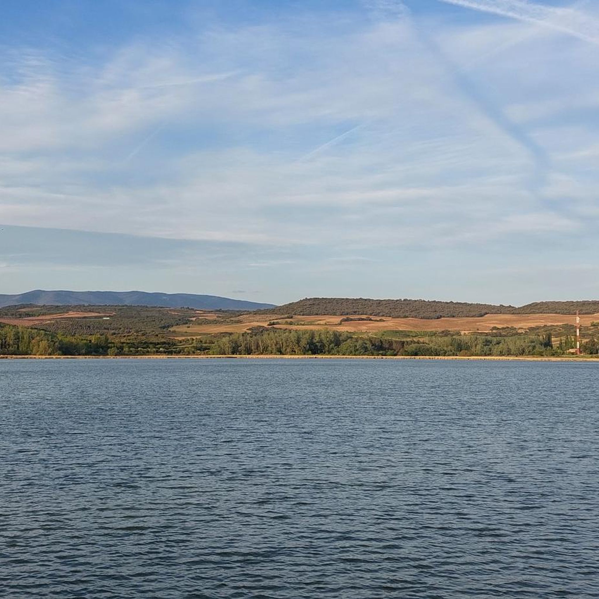
Hiking trails around Pantano de La Grajera offer a diverse landscape centered on the reservoir. The terrain includes paths along the water's edge, as well as routes ascending nearby hills such as Monte de la Pila and Pico del Águila, providing elevated viewpoints. The area features a mix of open spaces and some wooded sections, suitable for circular walks of varying hiking trails duration.
Best hiking trails around Pantano de La Grajera
- The most popular hiking route is Pico del…
Last updated: July 4, 2026
7
hikers
9.20km
02:42
250m
250m
Hike the Pico del Águila and Monte de la Pila Loop, a moderate 5.7-mile trail with 830 feet of elevation gain in La Rioja, Spain.
4.5
(8)
82
hikers
Easy hike. Great for any fitness level. Easily-accessible paths. Suitable for all skill levels.

Sign up for free
5.0
(5)
43
hikers
Moderate hike. Good fitness required. Easily-accessible paths. Suitable for all skill levels.
7
hikers
11.0km
03:01
150m
150m
Moderate hike. Good fitness required. Mostly accessible paths. Sure-footedness required.
7.90km
02:16
190m
190m
Hike the moderate 4.9-mile Pico del Águila and Coronilla Loop for panoramic views of Mexico City and volcanoes.
Get access to more routes and recommendations from other explorers.
Sign up for free
Already have an account?
Our route recommendations are based on thousands of hikes, rides, and runs completed by other people on komoot.
Start today with a free account
Your next adventure awaits.
Login or Signup

Tips from the Community

The reservoir was built over a century ago from a small natural lake to provide irrigation water for agricultural land.
1
0

Nature reserve on a small lake, lots of space for walking and even a swimming area, a pilgrimage center at the upper part.
1
0

Marcelino Lobato Castrillo is a passionate pilgrim and the most famous person on the Camino Frances. He has been walking the Camino since 1971 and gives talks and interviews about the phenomena and spirit of the Camino de Santiago. His clothing is in keeping with the medieval pilgrimage to Santiago.
1
0
On stage 8 of the classic Way of St. James, you start in the morning in Logroño and come straight to this beautiful place at the beginning of the stage: ducks swim on the reservoir and squirrels greet visitors. A truly magical place.
1
0

Great park for the people of Logroño. Beautifully laid out with a lake and lots of playgrounds. A recreational oasis not far from the city with lots of shade.
1
0

One of the great lungs of Logroño and a fantastic place to run, pedal or go spend the day in the company of family and friends.
0
0

Access is not without risks and is not at all clear.
2
0

Personal charms of the road…
0
1
Frequently Asked Questions
How many hiking trails are available around Pantano de La Grajera?
There are over 170 hiking trails around Pantano de La Grajera, offering a diverse range of options. These include paths along the reservoir's edge, as well as routes ascending nearby hills like Monte de la Pila and Pico del Águila.
Are there any easy or family-friendly hiking options in Pantano de La Grajera?
Yes, Pantano de La Grajera offers numerous easy and family-friendly hikes. For instance, the La Grajera Reservoir – La Grajera Reservoir loop from La Grajera (M3-6) is a relatively flat 2.8-mile (4.5 km) trail that follows the reservoir's edge, perfect for a relaxed outing.
What kind of terrain can I expect on the trails around the reservoir?
The terrain around Pantano de La Grajera is quite varied. You'll find paths directly bordering the reservoir, open spaces, and some wooded sections. Higher routes, such as those leading to Pico del Águila, involve ascents to local hills, providing elevated viewpoints.
Are there any challenging routes for experienced hikers?
Absolutely. For a more demanding experience, consider the La Grajera Reservoir – View of Navarrete loop from La Grajera (M3-6). This difficult 13.7-mile (22.0 km) path explores the wider area around the reservoir, passing through varied and more strenuous terrain.
Are the hiking trails around Pantano de La Grajera suitable for dogs?
Many of the trails around Pantano de La Grajera are suitable for dogs, especially those that follow the reservoir's edge and through open areas. It's always recommended to keep dogs on a leash, especially in areas where wildlife might be present or near other hikers.
Are there good viewpoints along the hiking routes?
Yes, several routes offer excellent viewpoints. Trails that ascend hills like Monte de la Pila and Pico del Águila provide panoramic vistas of the reservoir and the surrounding landscape. The Pico del Águila and Monte de la Pila Loop is specifically known for its elevated viewpoints.
What is the best time of year to go hiking in Pantano de La Grajera?
Spring and autumn are generally the best times for hiking in Pantano de La Grajera. The weather is milder, and the natural scenery is particularly beautiful, with blooming flora in spring and vibrant colors in autumn. Summer can be hot, so early morning or late afternoon hikes are preferable then.
Are there circular hiking routes available?
Yes, Pantano de La Grajera is well-suited for circular walks. Many routes are designed as loops, allowing you to start and end at the same point. Examples include the La Grajera Reservoir – Fuente del Guarda loop from La Grajera (M3-6) and the Monte La Pila – La Grajera Reservoir loop from La Grajera (M3-6).
What do other hikers say about the trails in Pantano de La Grajera?
The trails in Pantano de La Grajera are highly rated by the komoot community, with an average score of 4.4 stars from over 270 reviews. Hikers often praise the diverse landscape, the well-maintained paths, and the beautiful views of the reservoir and surrounding hills.
Is there parking available for hikers at Pantano de La Grajera?
Yes, there are designated parking areas near Pantano de La Grajera, making it convenient for hikers to access the trailheads. Specific parking information can often be found on individual route descriptions on komoot.
Can I spot any wildlife while hiking around Pantano de La Grajera?
Pantano de La Grajera is a natural area, and you may encounter various wildlife, particularly birds, as it's a reservoir. Keep an eye out for waterfowl and other local species, especially during quieter times of the day.
Most popular routes around Pantano de La Grajera

Get inspired with the komoot mobile app


Explore more
Browse the best Hikes in other regions.
