The best walks and hikes around Estany Gento
4.8
(844)
7,010
hikers
75
hikes
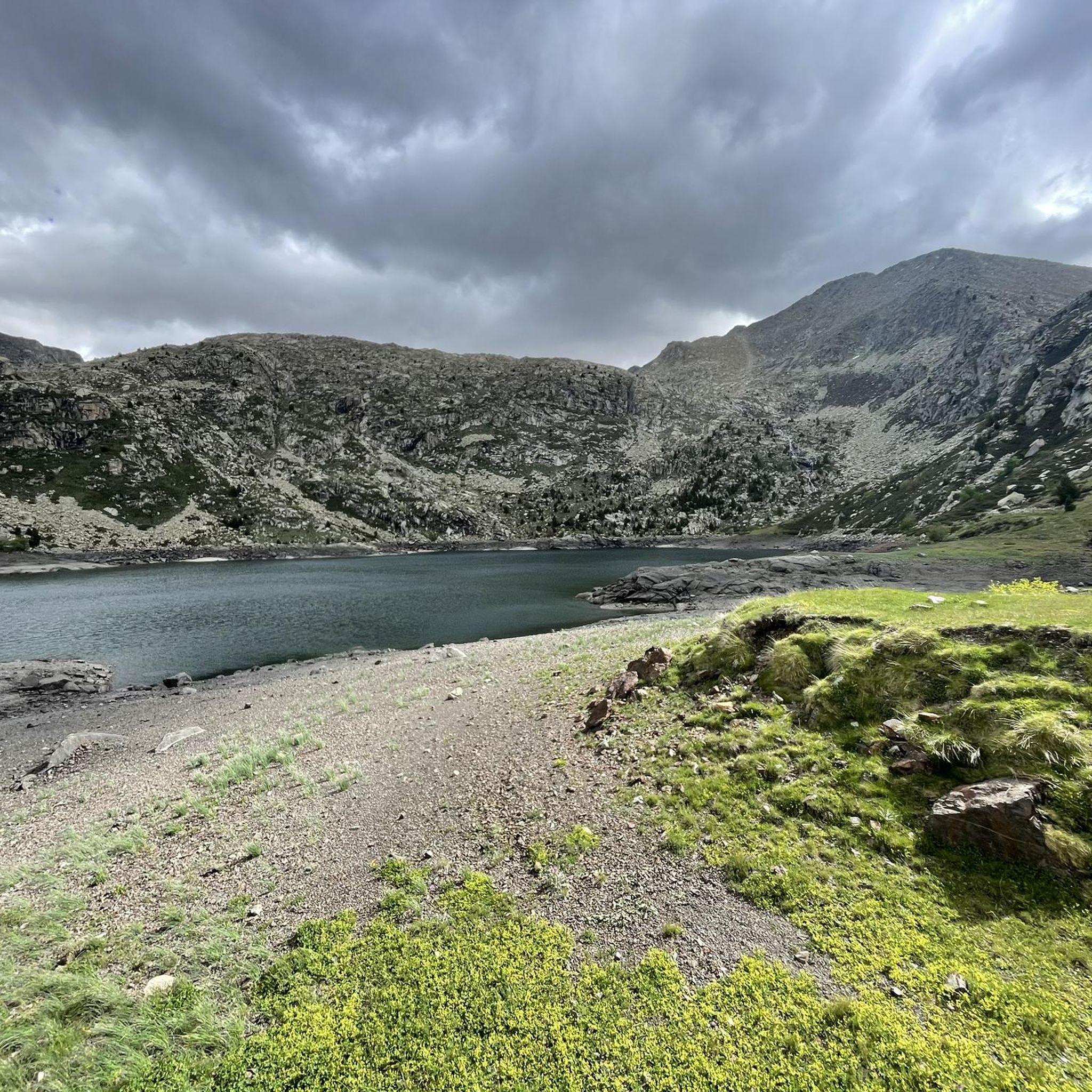
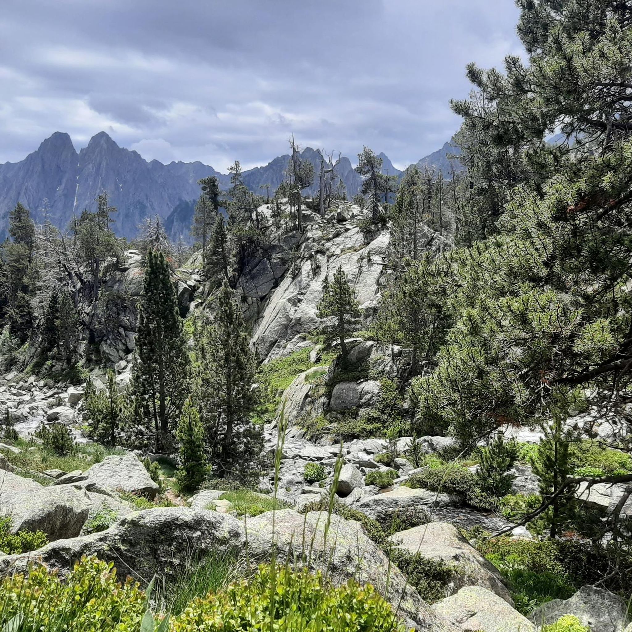
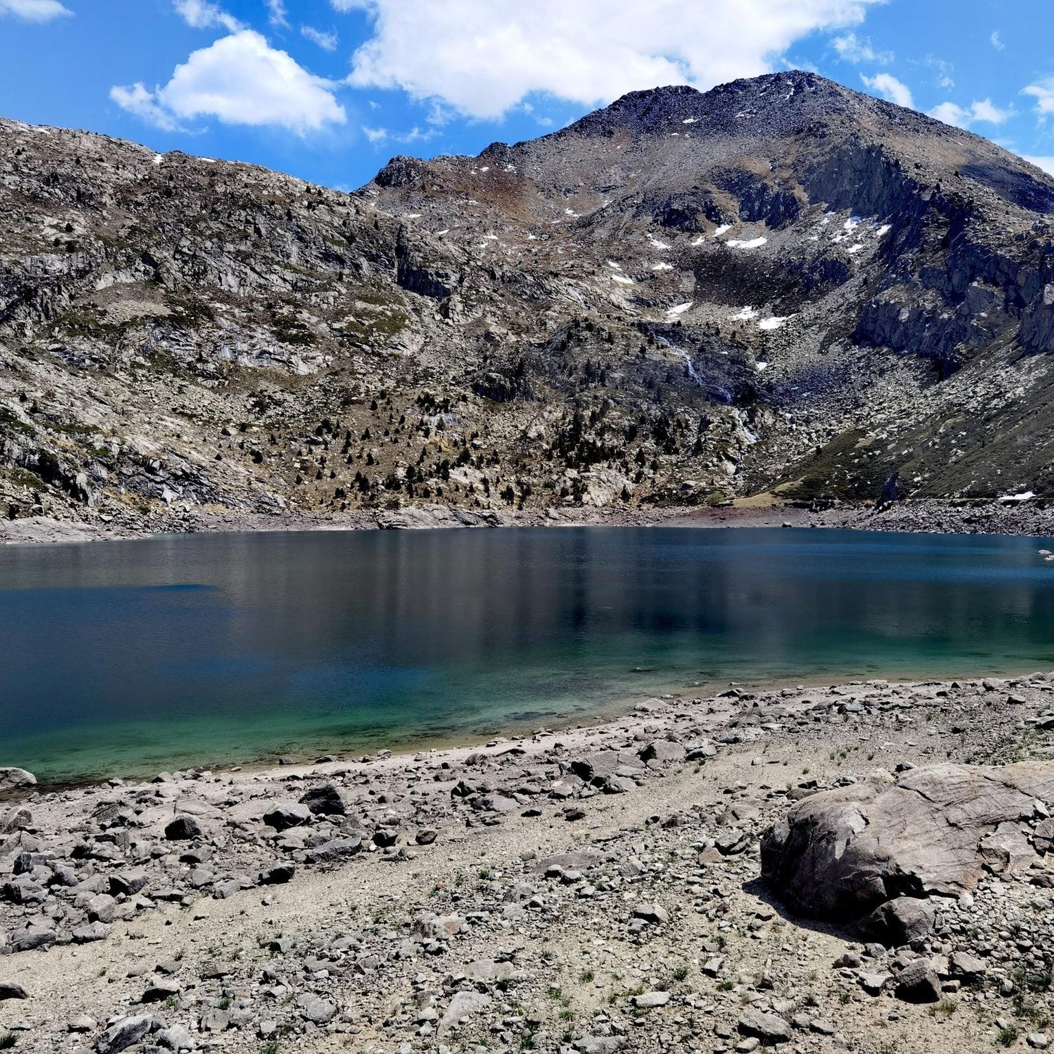
Hiking around Estany Gento offers a high-mountain environment characterized by dramatic glacial landscapes within the Vall Fosca of Pallars Jussà, part of the Aigüestortes National Park. The region features a glacial cirque lake carved into granite rock, surrounded by slopes polished by ancient glaciers. Peaks like the Pala Pedregosa de Llessui preside over the area, and numerous interconnected lakes feed into the Flamisell river headwaters.
Best hiking trails around Estany Gento
- The most popular hiking route is Carros de Foc…
Last updated: August 18, 2026
4.8
(4)
19
hikers
11.6km
04:16
400m
400m
Moderate hike. Good fitness required. Mostly accessible paths. Sure-footedness required.
4.7
(3)
64
hikers
8.55km
03:09
370m
370m
Moderate hike. Good fitness required. Mostly accessible paths. Sure-footedness required.

Sign up for free
5.0
(4)
44
hikers
5.93km
02:15
310m
310m
Moderate hike. Good fitness required. Mostly accessible paths. Sure-footedness required.
4.3
(4)
14
hikers
2.85km
01:06
180m
180m
Moderate hike. Great for any fitness level. Mostly accessible paths. Sure-footedness required.
23
hikers
12.5km
05:45
770m
770m
Hard hike. Very good fitness required. Sure-footedness, sturdy shoes and alpine experience required.
Get access to more routes and recommendations from other explorers.
Sign up for free
Already have an account?
Our route recommendations are based on thousands of hikes, rides, and runs completed by other people on komoot.
Start today with a free account
Your next adventure awaits.
Login or Signup

Tips from the Community

The Colomina refuge is located at an altitude of 2,425 metres, at the head of the Vall Fosca, next to the lake of the same name. It has 40 places to stay overnight, hot showers and food service, always subject to reservation.
0
0

Attention! This cable car is not suitable for people with walking difficulties as there are about 80 steep steps to climb!
0
0

Mythical summit of the Parc. The ascent from the SE requires some easy climbing steps (F) according to the French grading system. A small section of ridge formed by blocks is necessary to reach the summit
0
0

The path is rocky but can be done well. The color of the water is impressive and it is worth stopping for a moment and contemplating the wonderful landscape.
1
0
A lake of glacial origin that is located at an altitude of 2,429 meters. It is the largest and deepest in the Val d'Aran.
1
0
A lake of glacial origin that is located at an altitude of 2,351 m at the head of the Vall Fosca.
1
0
A lake of glacial origin that is located at an altitude of 2,368 m.
1
0

The cable car takes you from about 1700 to 2100 m and thus to a good starting point in the southern Aigües Tortes area. More accessible and less crowded than from the northeast via the Estany de Sant Maurici.
0
0
Frequently Asked Questions
What kind of terrain can I expect when hiking around Estany Gento?
The terrain around Estany Gento is characterized by dramatic glacial landscapes. You'll find glacial cirques carved into granite rock, slopes polished by ancient glaciers, and numerous interconnected high-altitude lakes. Expect rugged beauty and mountain paths.
Are there hiking options for different skill levels in Estany Gento?
Yes, Estany Gento offers a diverse network of trails suitable for various fitness levels. You can find easy walks, such as the Vía Verde de La Vall Fosca – Estany Gento loop, as well as moderate and challenging routes, including sections of the multi-day Carros de Foc Trail.
What unique natural features can I discover while hiking here?
Estany Gento itself is a stunning glacial cirque lake. The region is part of the Aigüestortes National Park, featuring majestic peaks like the Pala Pedregosa de Llessui and a rich lacustrine environment with many interconnected lakes that feed into the Flamisell river headwaters.
Are there any easy, family-friendly hikes around Estany Gento?
For an easy and family-friendly option, consider the Vía Verde de La Vall Fosca – Estany Gento loop. This 2.1-mile (3.4 km) trail follows the historic 'Carrilet' railway line, offering a relatively flat and scenic path, including tunnels, which can be completed in under an hour.
Can I access the high-mountain areas easily, or do I need to hike long distances?
For easier access to Estany Gento and the starting points of many trails, the Vall Fosca Cable Car operates from Sallente. This makes the high-altitude environment more accessible to a wider range of visitors, allowing you to quickly reach areas like the Mirador de Estany Gento.
Are there any circular hiking routes available?
Yes, there are several circular routes. A popular moderate option is the Estany Tort – Colomina Refuge loop from Estany Gento, which connects the glacial Estany Tort with the Colomina Refuge, offering great views of the high-mountain terrain.
What is the best time of year to go hiking in Estany Gento?
Given its high-mountain environment and glacial features, the best time to visit Estany Gento for hiking is typically during the warmer months, from late spring to early autumn, when trails are clear of snow and weather conditions are more stable. Always check local conditions before you go.
Are there any refuges or accommodation options for hikers in the area?
Yes, the Colomina Refuge, located at an altitude of 2,425 meters, is a key stop for hikers. It offers overnight stays, hot showers, and food services, making it a strategic point for longer treks and multi-day adventures.
What do other hikers say about their experience in Estany Gento?
The routes in Estany Gento are highly rated by the komoot community, with an average score of 4.8 stars from over 600 reviews. Hikers often praise the stunning glacial landscapes, the well-maintained paths, and the variety of trails suitable for different abilities.
Are there any notable viewpoints or landmarks to look out for?
Absolutely. The Mirador de Estany Gento, at 2,200 meters, offers panoramic vistas of the Sallente reservoir and the sprawling valley. You can also explore the unique 'Carrilet' Greenway, an old train track now used for scenic walks, including tunnels.
How many hiking trails are available around Estany Gento?
There are over 70 hiking trails available around Estany Gento, ranging from easy strolls to challenging multi-day treks, ensuring a wide variety of options for every hiker.
Is there a route that combines a cable car ride with hiking?
Yes, you can combine a cable car ride with hiking. The Vall Fosca Cable Car – Estany Tort loop from Estany Gento is a moderate 2.8-mile (4.5 km) route that allows you to utilize the cable car for ascent and then explore the beautiful Estany Tort area.
Most popular routes around Estany Gento

Get inspired with the komoot mobile app


Explore more
Browse the best Hikes in other regions.
