The best walks and hikes around Estany Fosser
4.8
(425)
3,922
hikers
74
hikes
Hiking trails around Estany Fosser are characterized by high-mountain terrain, numerous glacial lakes, and alpine refuges. The region is part of the Pyrenees, offering a landscape of rugged peaks, clear waters, and rocky paths. This area provides a diverse range of hiking experiences, from lakeside strolls to challenging ascents.
Best hiking trails around Estany Fosser
- The most popular hiking route is Lago Gento via the Canal de Pigolo — Aigüestortes i Estany de Sant Maurici National Park, a 5.1…
Last updated: May 23, 2026
4.8
(8)
114
hikers
Moderate hike. Good fitness required. Easily-accessible paths. Suitable for all skill levels.
4.7
(3)
15
hikers
11.6km
04:16
400m
400m
Hike the moderate 7.2-mile Carros de Foc Trail in Aigüestortes National Park, featuring alpine lakes and mountain views.

Sign up for free
5.0
(4)
41
hikers
5.93km
02:15
310m
310m
Moderate hike. Good fitness required. Mostly accessible paths. Sure-footedness required.
25
hikers
23.5km
09:49
1,420m
1,420m
Hard hike. Very good fitness required. Sure-footedness, sturdy shoes and alpine experience required.
5.0
(1)
17
hikers
13.0km
06:20
1,130m
1,130m
Hard hike. Very good fitness required. Mostly accessible paths. Sure-footedness required.
Get access to more routes and recommendations from other explorers.
Sign up for free
Already have an account?
Our route recommendations are based on thousands of hikes, rides, and runs completed by other people on komoot.
Start today with a free account
Your next adventure awaits.
Login or Signup
Popular around Estany Fosser
Tips from the Community

The Colomina refuge is located at an altitude of 2,425 metres, at the head of the Vall Fosca, next to the lake of the same name. It has 40 places to stay overnight, hot showers and food service, always subject to reservation.
0
0

Attention! This cable car is not suitable for people with walking difficulties as there are about 80 steep steps to climb!
0
0

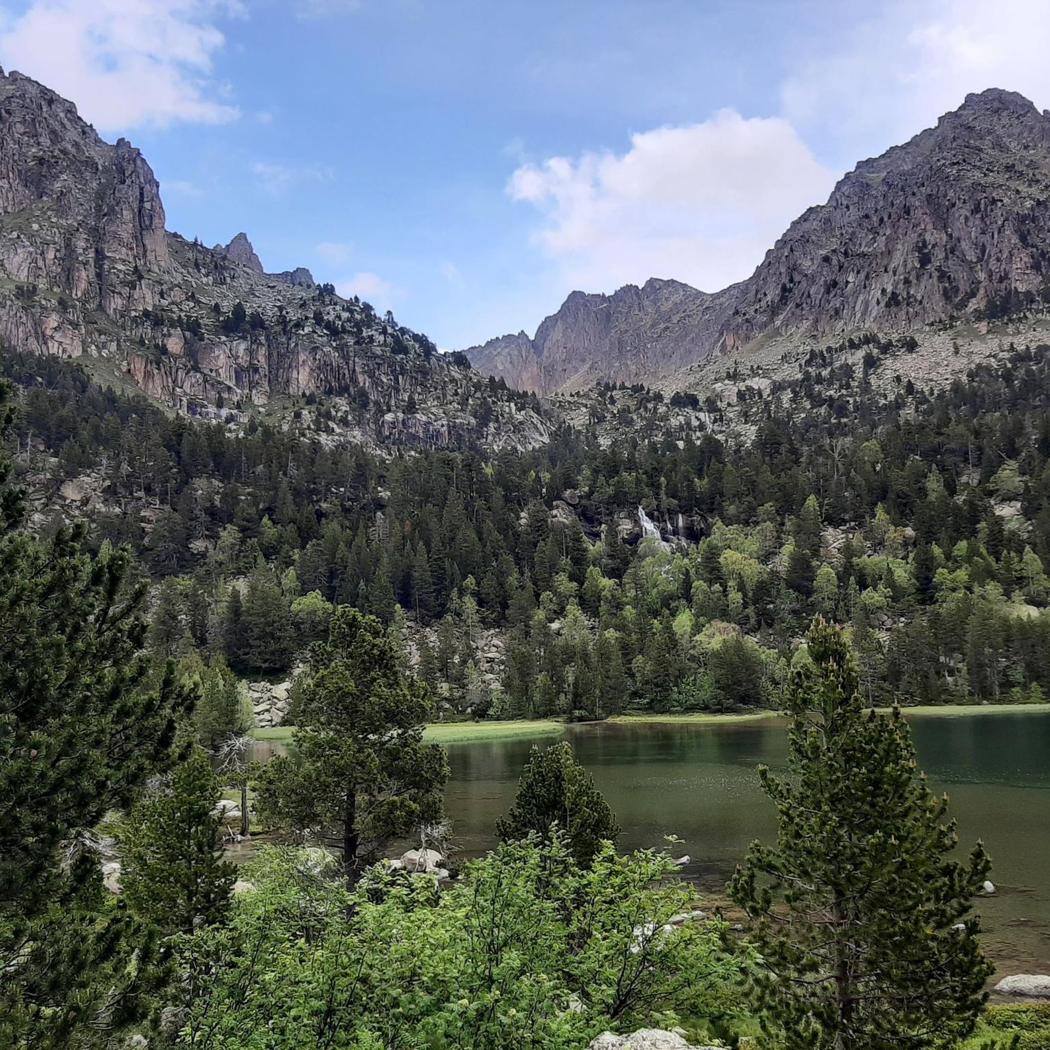
The path is rocky but can be done well. The color of the water is impressive and it is worth stopping for a moment and contemplating the wonderful landscape.
1
0
A lake of glacial origin that is located at an altitude of 2,429 meters. It is the largest and deepest in the Val d'Aran.
1
0
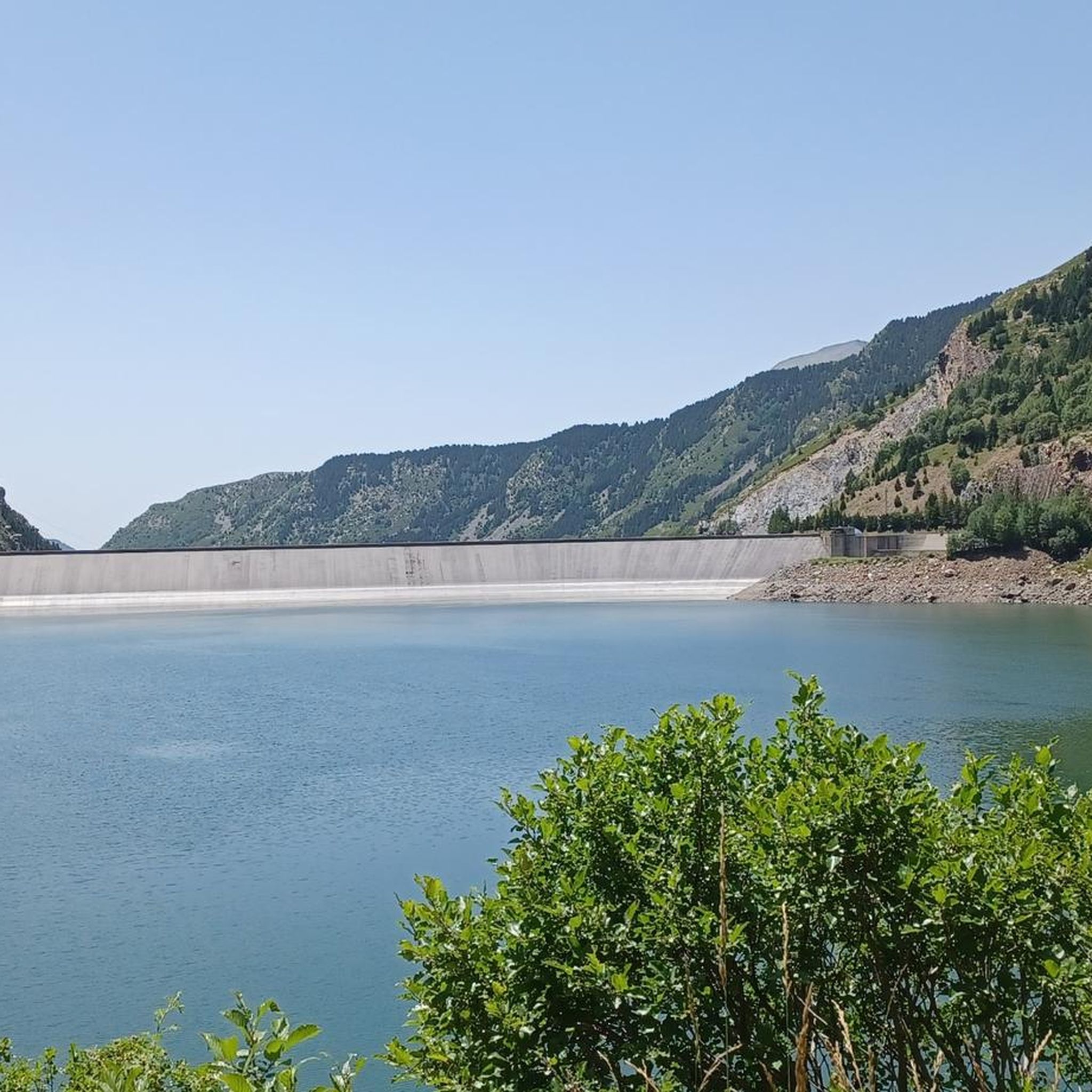
A lake of glacial origin that is located at an altitude of 2,351 m at the head of the Vall Fosca.
1
0
A lake of glacial origin that is located at an altitude of 2,368 m.
1
0

The cable car takes you from about 1700 to 2100 m and thus to a good starting point in the southern Aigües Tortes area. More accessible and less crowded than from the northeast via the Estany de Sant Maurici.
0
0

Another of the tunnels that we found during our passage through the Vall Fosca greenway. An emblematic place, at 2200 meters of altitude, we will cross an old train track, currently in disuse, and we will cross its tunnels. In few places in the world can we find a train track at such a height! If we go with children, I recommend taking a small flashlight to cross the tunnels, some are a little longer or have the occasional puddle.
1
0
Frequently Asked Questions
How many hiking trails are there in Estany Fosser?
Estany Fosser offers a wide variety of hiking experiences, with over 75 distinct routes available. These range from easy strolls to challenging multi-day treks through the high-mountain Pyrenean landscape.
Are there easy hiking trails suitable for beginners or families?
Yes, Estany Fosser has several easy trails perfect for beginners or families. While the region is known for its rugged terrain, there are 4 routes classified as easy. These often include lakeside walks, providing a gentle introduction to the area's natural beauty. For example, many sections around Estany Gento offer less strenuous options.
Are there any circular hiking routes around Estany Fosser?
Yes, circular routes are a popular way to explore the area. One notable option is the Colomina Refuge – Estany Tort loop from Estany Gento, which is a moderate 3.7-mile (5.9 km) trail that takes you through a landscape of lakes and mountain refuges.
Can I hike with my dog in Estany Fosser?
Many trails in the Estany Fosser region, particularly within the broader Aigüestortes i Estany de Sant Maurici National Park area, have specific regulations regarding dogs. While dogs are generally allowed on leash in the peripheral zones, their access to the core protected areas might be restricted to preserve wildlife. Always check local signage or the park's official guidelines before heading out with your dog.
What is the best time of year to go hiking in Estany Fosser?
The best time for hiking in Estany Fosser is typically from late spring (June) through early autumn (September). During these months, the snow has largely melted, mountain passes are accessible, and the weather is generally more stable. Summer offers warmer temperatures, while early autumn provides stunning fall colors and fewer crowds.
What are the conditions like for winter hiking in Estany Fosser?
Winter hiking in Estany Fosser is challenging and requires specialized equipment and experience. The high-mountain terrain experiences significant snowfall, leading to avalanche risks and requiring snowshoes or skis. Many trails become impassable, and alpine refuges may be closed or operate with limited services. It is recommended for experienced winter mountaineers only.
Where can I park when hiking in Estany Fosser?
Parking availability varies depending on the specific trailhead. For popular starting points like Estany Gento, there are often designated parking areas, though they can fill up quickly during peak season. Some trailheads might require a short shuttle bus ride from a main parking lot, especially within the national park boundaries, to reduce traffic and preserve the environment.
How can I reach the trailheads in Estany Fosser by public transport?
Public transport options to reach trailheads in the high Pyrenees, including Estany Fosser, are generally limited. While some larger towns in the valleys might be accessible by bus, reaching specific, remote trailheads often requires a private vehicle or a pre-arranged taxi service. During peak season, some national park areas might offer shuttle services from designated parking zones to popular starting points.
What kind of views or natural features can I expect on the trails?
Hiking in Estany Fosser offers breathtaking high-mountain scenery. You can expect to see numerous glacial lakes (like Estany Gento and Estany Tort), rugged Pyrenean peaks, and expansive alpine vistas. The trails often traverse rocky paths and lead to alpine refuges, providing a true wilderness experience with clear waters and diverse flora.
What do other hikers say about the trails in Estany Fosser?
The trails in Estany Fosser are highly rated by the komoot community, with an average score of 4.8 stars from over 400 reviews. Hikers often praise the stunning natural beauty, the challenging yet rewarding terrain, and the sense of adventure found in this high-mountain environment. Many appreciate the well-maintained paths and the clear views of the glacial lakes.
Are there mountain refuges along the trails in Estany Fosser?
Yes, the Estany Fosser region, being part of the Pyrenees, features several alpine refuges. These refuges provide essential shelter, food, and sometimes accommodation for hikers, especially on longer or multi-day treks like segments of the Carros de Foc Trail. They are crucial for planning high-altitude adventures.
What should I wear for hiking in Estany Fosser, especially in summer?
Even in summer, the high-mountain environment of Estany Fosser can experience rapid weather changes. It's essential to wear layers, including moisture-wicking base layers, insulating mid-layers, and a waterproof/windproof outer shell. Sturdy hiking boots with good ankle support are crucial for the rocky and uneven terrain. Always pack sun protection (hat, sunglasses, sunscreen) and plenty of water.
Are there opportunities for wild swimming near the hiking trails?
The region is dotted with numerous glacial lakes, and while the water is often very cold, some hikers do engage in wild swimming. However, it's important to be aware of the extremely low water temperatures, potential restrictions within protected areas (like the national park), and the need to leave no trace. Always prioritize safety and respect the natural environment.

Get inspired with the komoot mobile app


Explore more
Browse the best Hikes in other regions.
