The best road cycling routes around Pantano El Regajo
4.7
(56)
3,558
riders
81
rides
Road cycling routes around Pantano El Regajo traverse a diverse landscape in the Alto Palancia region of Castellón, Spain. The area is characterized by the tranquil waters of the Regajo Reservoir and its imposing dam, alongside the Palancia river, which accompanies many trails. Cyclists encounter rolling hills, pine forests, and the notable Vía Verde de Ojos Negros, Spain's longest greenway, offering mostly paved surfaces. This natural setting provides varied terrain for road cyclists.
Best road cycling routes around Pantano El…
Last updated: June 28, 2026
4.0
(1)
113
riders
82.1km
04:22
1,520m
1,520m
Hard road ride. Very good fitness required. Mostly well-paved surfaces and easy to ride.
5.0
(4)
102
riders
38.5km
01:55
520m
520m
Moderate road ride. Good fitness required. Mostly well-paved surfaces and easy to ride.

Sign up for free
27
riders
132km
07:02
2,460m
2,460m
Hard road ride. Very good fitness required. Mostly well-paved surfaces and easy to ride.
22
riders
111km
05:40
1,720m
1,720m
Hard road ride. Very good fitness required. Mostly well-paved surfaces and easy to ride.
22
riders
104km
05:13
1,470m
1,470m
Hard road ride. Very good fitness required. Mostly well-paved surfaces and easy to ride.
Get access to more routes and recommendations from other explorers.
Sign up for free
Already have an account?
Our route recommendations are based on thousands of hikes, rides, and runs completed by other people on komoot.
Start today with a free account
Your next adventure awaits.
Login or Signup

Tips from the Community

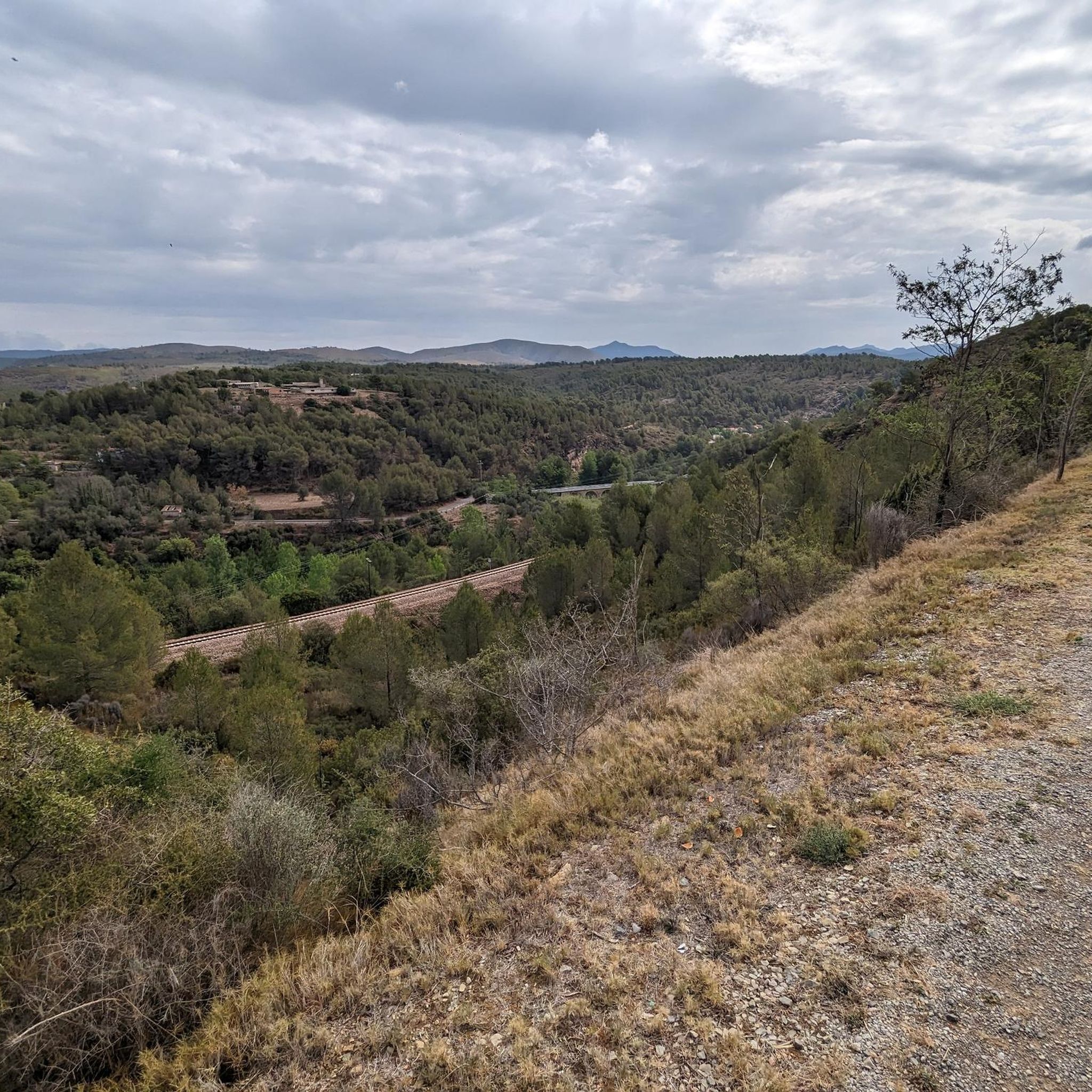
This road is a delight for lovers of mountain passes. The route runs under the shade of pine trees and winds its way through hairpin bends. Ideal for both climbing and descending.
0
0

Beautiful small waterfall, accessible via stairs.
11
0

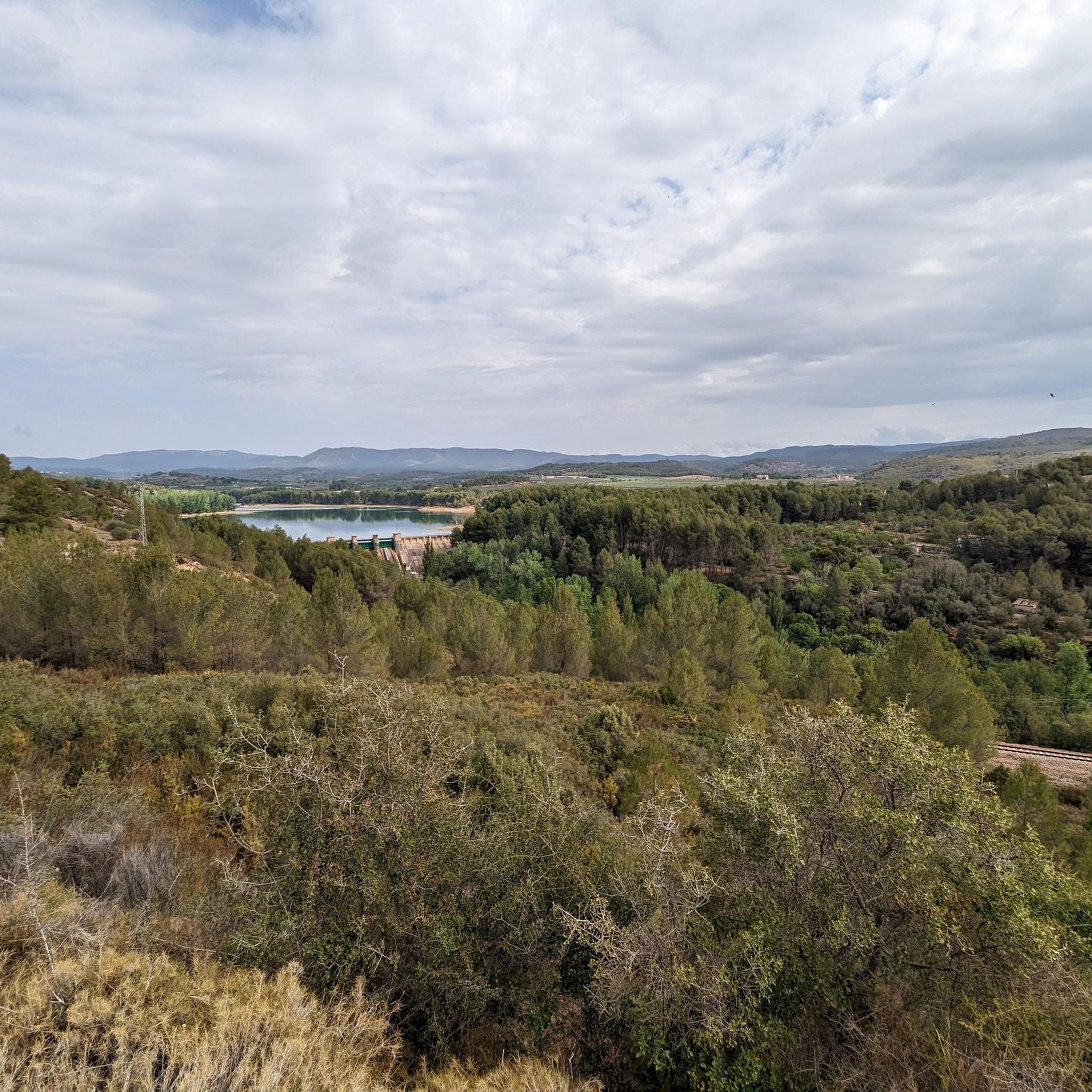
From here you can see part of the reservoir and the town. It's a good place to park and start cycling routes.
1
0

In this historic place, in 1237, King James I donated the image of the Virgin of Health to the town of Alcublas, which he carried with him on his horse.
0
0
The road is in perfect condition, 8 meters wide, with vertical signs. Light traffic, although on weekends it is heavily used by bikers until Alcublas. From this point on, traffic is light, and after Sacañet, it is practically nonexistent. There may be snow restrictions in winter from Sacañet onwards. From Sacañet onwards, the last 4.2 km are the toughest, with a gradient of 250 meters at an average of 6%, and with sections that reach 12%. The most interesting aspect is being able to link the three mountain passes starting from Lliria (Port d'Alcublas, Alto de la Cruz del Collado, and finally Puerto de La Bellida) for a total of almost 30 km and 1,400 m+. You can also climb up a dirt track (quite broken, difficult with a skinny one, even if it's gravel) to Col de La Bellida and the geodetic vertex, along the path that branches off to the left after passing the mountain pass (another 2 km at 3% but with ramps that go up to 15%).
0
0
Leaving from Lliria and linking the Port d'Alcublas and the Alto de la Cruz del Collado you end up with a great climb of almost 30km and 1,250m+ that is worth the effort.
0
0
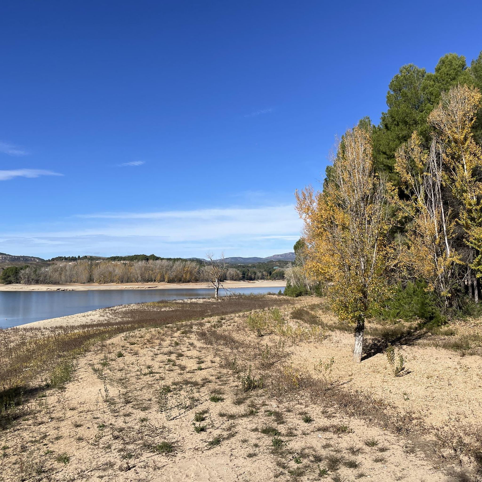
From this rest area on the greenway, you can admire the Regajo reservoir dam while taking a break in the shade of the pine trees.
0
0

The Fuente de la Salud (Health Fountain) in Olba (Teruel) is a charming natural spot, highly valued by hikers and visitors seeking tranquility, nature, and pure water. It is a natural spring located in a wooded setting next to the Mijares River, surrounded by native vegetation. It is part of a highly accessible circular hiking route, ideal for all fitness levels. The spring's water is known for its purity and freshness, and has traditionally been attributed with health-giving properties.
2
0
Frequently Asked Questions
How many road cycling routes are available around Pantano El Regajo, and what are their difficulty levels?
There are over 80 road cycling routes available around Pantano El Regajo. These routes cater to various fitness levels, with 3 easy routes, 28 moderate routes, and 50 difficult routes to choose from.
Are there any circular road cycling routes around Pantano El Regajo?
Yes, many routes in the area are designed as loops. For example, the View of Gaibiel Castle – Almonecir Castle loop from Navajas is a moderate 38.5 km circular path offering scenic views of historical castles and the natural environment.
Which road cycling routes offer views of historical castles?
You can explore routes that pass by historical sites. The View of Gaibiel Castle – Almonecir Castle loop from Navajas provides scenic views of both Gaibiel and Almonecir Castles. Another option is the Almonecir Castle – Puerto de la Nevera loop from Navajas, which also leads through historical sites.
What are some challenging long-distance road cycling routes in the area?
For experienced cyclists seeking a challenge, the Montmayor Pass – Alcublas Village loop from Navajas is a difficult 82.1 km route featuring significant climbs. Another demanding option is the Almonecir Castle – Puerto de la Nevera loop from Navajas, an 132.3 km trail with challenging mountain passes.
Can I find routes that pass by natural attractions like waterfalls or hot springs?
Absolutely. The region is rich in natural wonders. Consider the Salto de la Novia – Tío Juan Waterfall loop from Navajas to see beautiful waterfalls. For hot springs, the Montanejos – Fuente de la Salud loop from Navajas will take you towards the famous Fuente de la Salud.
What is the best time of year for road cycling around Pantano El Regajo?
The area around Pantano El Regajo generally offers pleasant cycling conditions for much of the year. Spring and autumn provide mild temperatures, ideal for longer rides. Summers can be warm, so early morning or late afternoon rides are recommended, while winters are typically mild but can have cooler days.
Are there any family-friendly road cycling options near Pantano El Regajo?
Yes, the Vía Verde de Ojos Negros, which passes through Pantano El Regajo, is an excellent option for families. It offers mostly paved, gentle gradients, making it accessible and safe for cyclists of all ages. You'll find numerous tunnels and bridges, adding an element of adventure.
Where can I park my car when starting a road cycling route?
Many routes around Pantano El Regajo start from towns like Navajas, which typically offer public parking facilities. It's advisable to check specific starting points for available parking options before your ride.
What kind of terrain can I expect on road cycling routes in this region?
The terrain around Pantano El Regajo is diverse. You'll encounter rolling hills, pine forests, and stretches along the Palancia river. The Vía Verde de Ojos Negros offers mostly paved, flatter sections, while other routes, especially the more difficult ones, feature significant climbs and descents through mountainous areas.
What do other road cyclists enjoy the most about road cycling in Pantano El Regajo?
The area is highly rated by the komoot community, with an average score of 4.7 stars from over 40 reviews. Reviewers often praise the diverse landscapes, the well-maintained Vía Verde de Ojos Negros, and the variety of routes catering to different skill levels, from scenic loops to challenging mountain passes.
Are there places to stop for refreshments or food along the routes?
Yes, many routes pass through or near villages and towns where you can find cafes, restaurants, and shops to refuel. Towns like Navajas and others along the Vía Verde de Ojos Negros are good places to look for amenities.
Most popular routes around Pantano El Regajo

Get inspired with the komoot mobile app


Explore more
Browse the best Road cycling routes in other regions.
