The best walks and hikes around Embalse Urrunaga / Urrunagako Urtegia
4.6
(729)
5,504
hikers
232
hikes
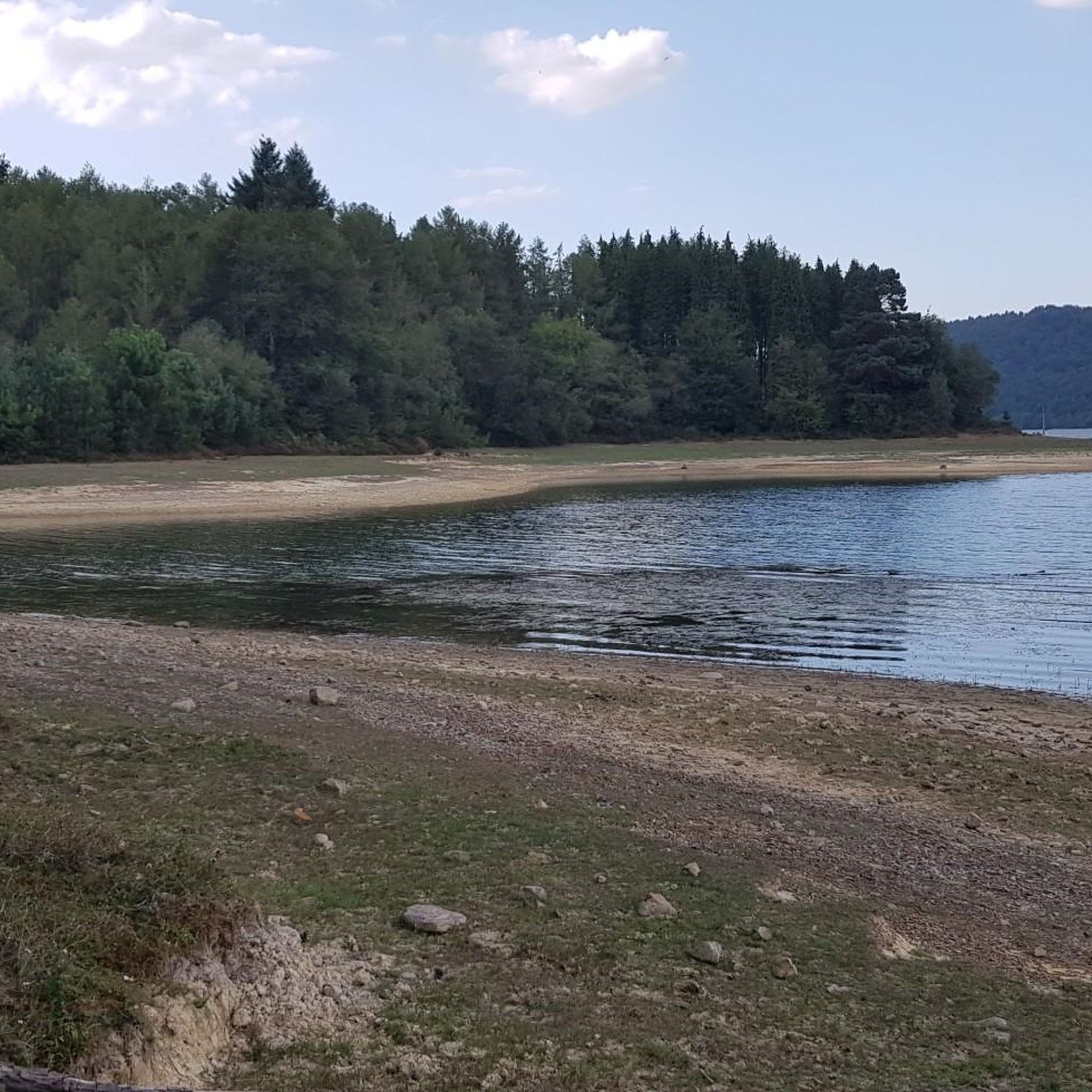
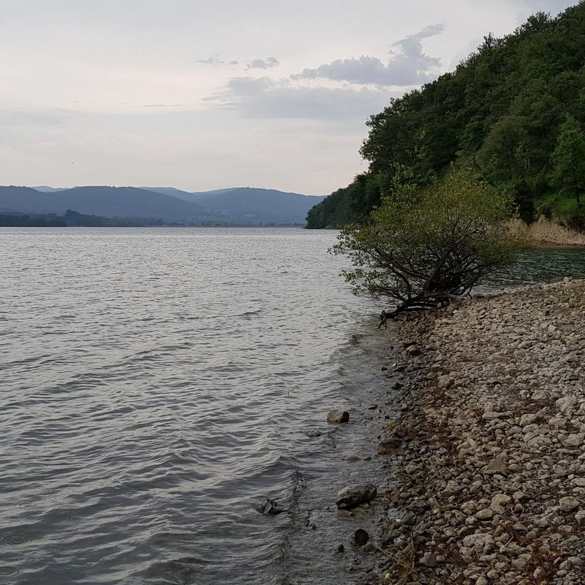
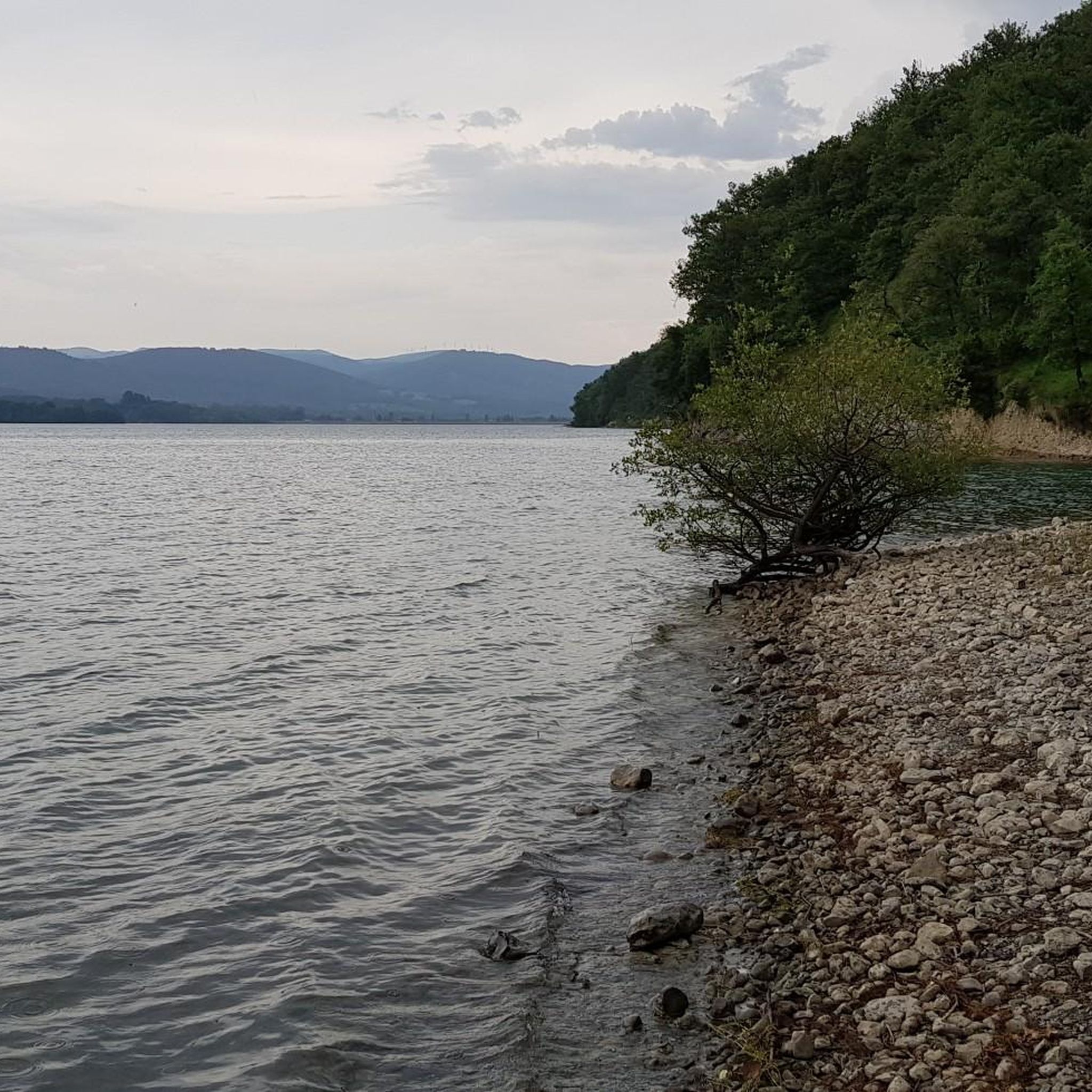
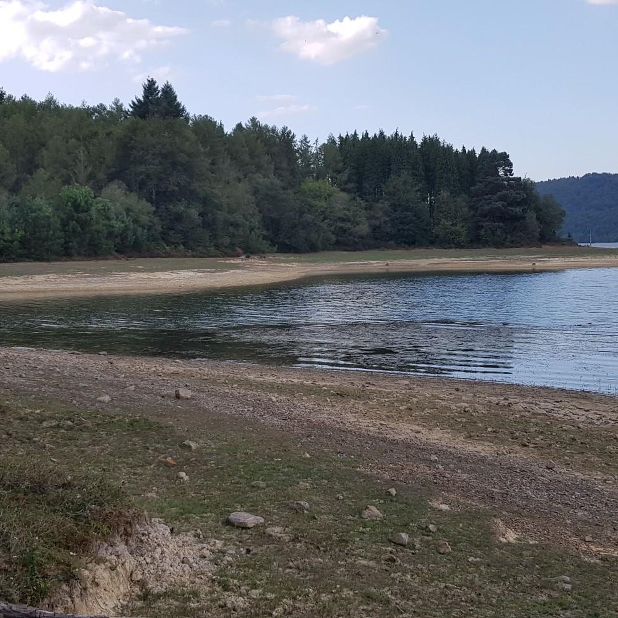
Hiking trails around Embalse Urrunaga / Urrunagako Urtegia are situated in a region characterized by the reservoir's waterscapes and the backdrop of Mount Gorbeia. The area features diverse ecosystems, including habitats for birds and aquatic communities. Terrain varies from accessible paths to mountainous routes, with elevations ranging from the reservoir level to surrounding peaks. The landscape includes hills, forests, and open areas, offering varied hiking experiences.
Best hiking trails around Embalse Urrunaga / Urrunagako Urtegia
- The most popular hiking route is Albertia Summit (867 m) – Jarindo (896m) loop from Legutio, a 10.5 miles (17.0 km) difficult trail that takes 5 hours 22 minutes to complete, featuring significant elevation gain and panoramic views.
- Another top favourite among local hikers is PresaAlbina – Iturrimari loop from Legutio, a moderate 6.7 miles (10.9 km) path. This route offers a mix of reservoir-side walking and climbs through the surrounding landscape.
- Local hikers also love the Urrúnaga Reservoir – Motxotegi loop from Legutio, a 10.4 miles (16.8 km) trail leading through varied terrain around the reservoir, often completed in about 5 hours 2 minutes.
- Hiking around Embalse Urrunaga / Urrunagako Urtegia is defined by reservoir views, surrounding hills, and diverse ecosystems. The network offers options for different ability levels, from moderate walks to more challenging mountain ascents.
- The routes in Embalse Urrunaga / Urrunagako Urtegia are highly rated by the komoot community with an average score of 4.6 stars from over 670 reviews. More than 5000 hikers have used komoot to explore Embalse Urrunaga / Urrunagako Urtegia's varied terrain.
Last updated: July 9, 2026
5.0
(3)
25
hikers
17.0km
05:22
650m
650m
Hard hike. Very good fitness required. Mostly accessible paths. Sure-footedness required.
4.3
(3)
21
hikers
10.5km
03:09
340m
340m
Moderate hike. Good fitness required. Mostly accessible paths. Sure-footedness required.

Sign up for free
5.0
(1)
15
hikers
10.9km
03:17
350m
350m
Moderate hike. Good fitness required. Easily-accessible paths. Suitable for all skill levels.
5.0
(2)
9
hikers
19.4km
05:46
580m
580m
Hard hike. Very good fitness required. Easily-accessible paths. Suitable for all skill levels.
5.0
(1)
5
hikers
8.11km
02:15
150m
150m
Moderate hike. Good fitness required. Easily-accessible paths. Suitable for all skill levels.
Get access to more routes and recommendations from other explorers.
Sign up for free
Already have an account?
Our route recommendations are based on thousands of hikes, rides, and runs completed by other people on komoot.
Start today with a free account
Your next adventure awaits.
Login or Signup
Popular around Embalse Urrunaga / Urrunagako Urtegia
MTB Trails around Embalse Urrunaga / Urrunagako Urtegia
Cycling around Embalse Urrunaga / Urrunagako Urtegia
Road Cycling Routes around Embalse Urrunaga / Urrunagako Urtegia
Running Trails around Embalse Urrunaga / Urrunagako Urtegia
Gravel biking around Embalse Urrunaga / Urrunagako Urtegia

Mountain Hikes around Embalse Urrunaga / Urrunagako Urtegia
Tips from the Community

Nice walk without too much elevation gain and easy to climb.
1
0

The countryside isn't so "countryside" anymore, thanks to the trees planted. But the site is still very interesting.
1
0
It has two entrances, but both are quite closed by brambles.
1
0
The summit is modest, but the views are spectacular.
3
0
Small fountain recently restored, although not drinkable.
2
0
And with good views of the Albina reservoir.
2
0
The remains of an old quarry or similar, now planted with trees, are very curious.
3
0
Like a haven of peace in the middle of a forest path.
2
0
Frequently Asked Questions
How many hiking trails are available around Embalse Urrunaga / Urrunagako Urtegia?
The area around Embalse Urrunaga / Urrunagako Urtegia offers a wide variety of hiking experiences, with over 230 routes available. These include 37 easy trails, 136 moderate paths, and 64 more challenging routes, catering to all fitness levels.
What kind of terrain can I expect on the hiking trails near Embalse Urrunaga?
The terrain around Embalse Urrunaga / Urrunagako Urtegia is quite varied. You'll find accessible paths along the reservoir's edge, as well as more mountainous routes with significant elevation gain. The landscape features hills, forests, and open areas, with the impressive Mount Gorbeia providing a dramatic backdrop to many trails.
Are there any family-friendly hiking options around the reservoir?
Yes, the area is well-suited for families. The shores of the reservoir feature parks like Sorgimendi and Zabalain, which are equipped with tables, grills, fountains, and children's playgrounds. Many of the 37 easy trails are suitable for hiking with children, offering a chance to combine outdoor activity with leisure.
Can I bring my dog on the trails in Embalse Urrunaga / Urrunagako Urtegia?
While specific regulations for dogs on every trail can vary, the natural environment of Embalse Urrunaga / Urrunagako Urtegia is generally welcoming for dog walkers. It's always recommended to keep dogs on a leash, especially in areas with wildlife or near other hikers, and to clean up after them. Many of the diverse trails offer suitable options for exploring with your canine companion.
What are some notable natural features or viewpoints to look out for?
The region is rich in natural beauty. You'll find picturesque waterscapes of the reservoir, often reflecting the surrounding hills and mountains. The backdrop of Mount Gorbeia offers breathtaking vistas. The area is also a haven for birdwatchers, with diverse ecosystems supporting a significant concentration of birds and aquatic communities.
Are there any circular hiking routes available?
Yes, many of the trails around Embalse Urrunaga / Urrunagako Urtegia are designed as loops. For example, the PresaAlbina – Iturrimari loop from Legutio is a moderate 10.9 km path that offers a mix of reservoir-side walking and climbs. Another option is the Monte Oketa – Oketa loop from Zestafe, a more challenging 19.4 km route.
What is the best time of year to go hiking in this region?
The Embalse Urrunaga / Urrunagako Urtegia area is enjoyable for hiking across multiple seasons. Spring and autumn offer pleasant temperatures and vibrant natural colors. Summer is also popular, though some routes might be more exposed to the sun. Even in winter, some trails can be hiked, but it's advisable to check weather conditions and trail accessibility, especially for higher elevations.
Are there any historical or cultural points of interest along the trails?
Yes, some routes offer glimpses into the region's history. For instance, on the Bizkaia side of the reservoir near the Gomilaz bridge, you can discover features such as an ancient snowfield on Monte San Bernabé, which was rehabilitated in 1999. The GR38, known as the "Ruta del Vino y del Pescado," also passes through the area, hinting at historical trade routes.
What do other hikers enjoy most about the trails here?
The area is highly rated by the komoot community, with an average score of 4.6 stars from over 670 reviews. Hikers often praise the diverse ecosystems, the stunning panoramic views, and the variety of trails that cater to different ability levels, from moderate walks to challenging mountain ascents.
Is there parking available for hikers near Embalse Urrunaga?
Yes, for many of the popular trailheads, parking facilities are available. For example, routes starting from Legutio or Zestafe typically have designated parking areas nearby, making access convenient for hikers. It's always a good idea to check specific starting points for detailed parking information.
Are there any easy routes suitable for beginners?
Absolutely. Out of the over 230 routes, 37 are classified as easy, making them ideal for beginners or those looking for a relaxed walk. These trails often follow the gentler contours around the reservoir, providing accessible options to enjoy the scenery without significant elevation challenges.
Can I find places to eat or stay near the hiking trails?
Yes, the nearby town of Legutiano has a developed hospitality sector. You'll find bars, restaurants, and agrotourism options where you can enjoy local cuisine and find accommodation after your hike. These amenities enhance the overall visitor experience in the region.
Most popular routes around Embalse Urrunaga / Urrunagako Urtegia

Get inspired with the komoot mobile app


Explore more
Browse the best Hikes in other regions.
