The best walks and hikes around Embalse de Guadalcacín
4.3
(118)
598
hikers
12
hikes
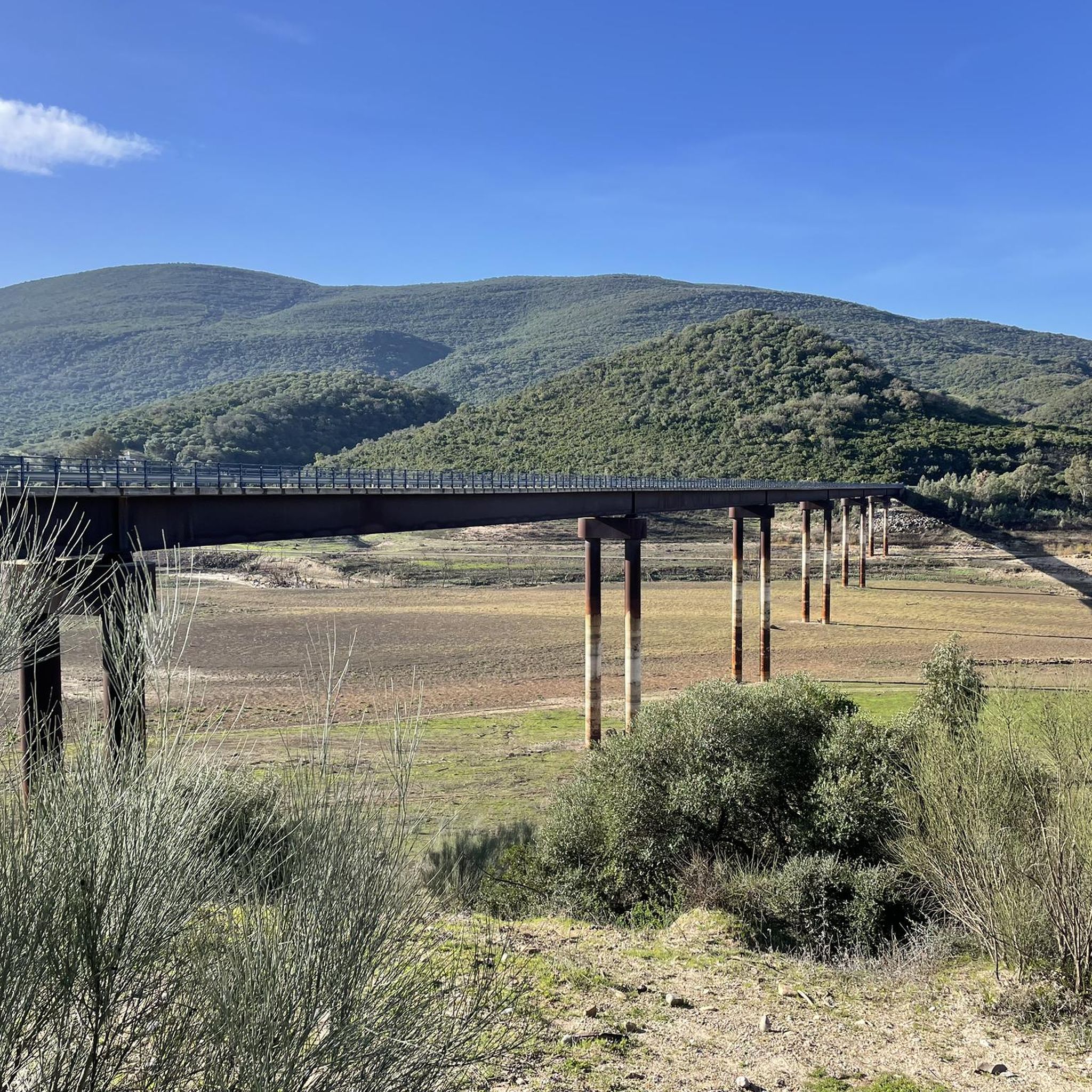
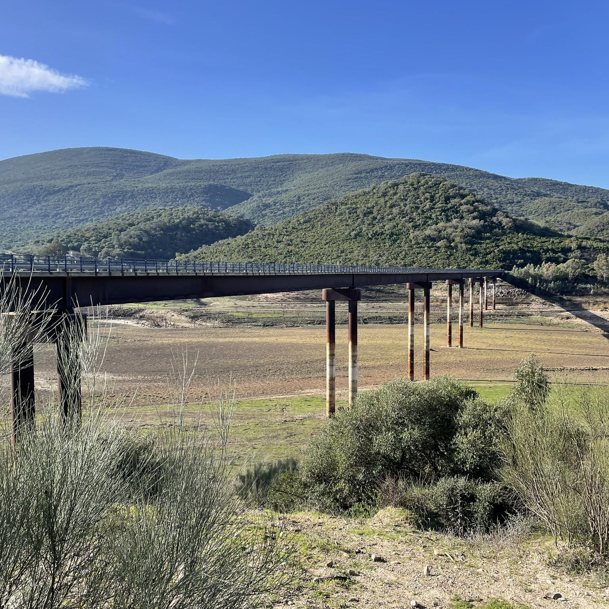
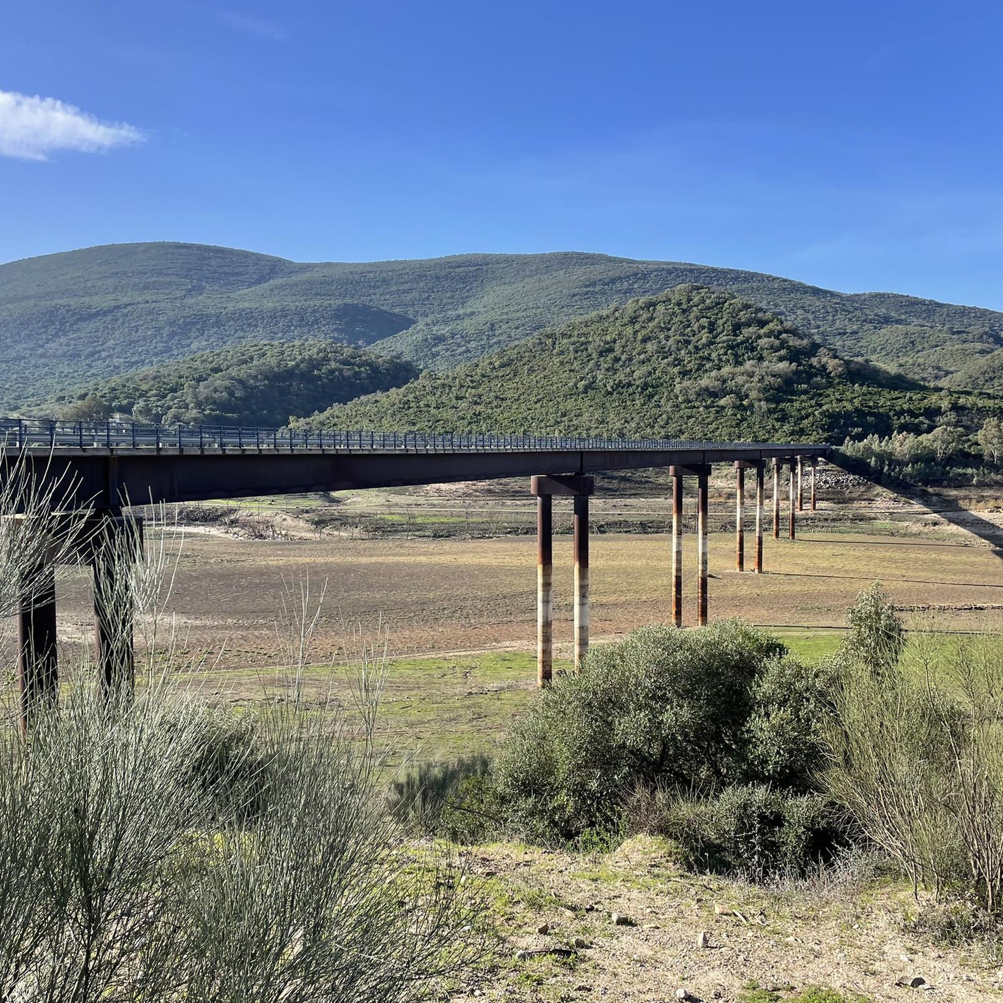
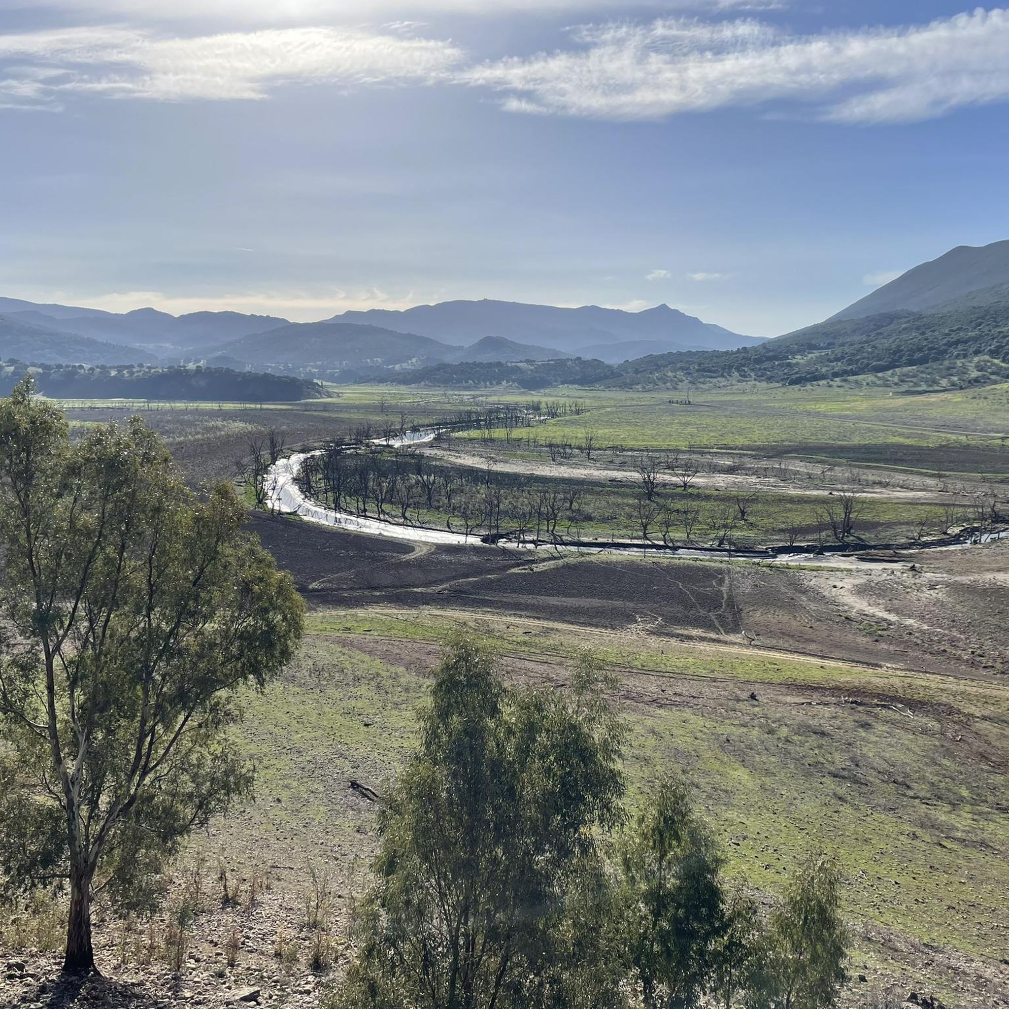
Hiking trails around Embalse de Guadalcacín offer diverse landscapes in the province of Cádiz, Andalusia. The region is characterized by the expansive reservoir, dramatic topography with plunging rock faces, and surrounding mountain ranges like the Sierra de las Cabras. Hikers can explore cork oak forests and varied terrain, providing a rich natural environment for outdoor activities.
Best hiking trails around Embalse de Guadalcacín
- The most popular hiking route is Gigonza Castle loop from Hoyo de la Cuna, a 7.1…
Last updated: August 18, 2026
3.0
(1)
5
hikers
10.8km
03:10
270m
270m
Moderate hike. Good fitness required. Easily-accessible paths. Suitable for all skill levels.
5.0
(1)
3
hikers
11.5km
03:06
150m
150m
Moderate hike. Good fitness required. Easily-accessible paths. Suitable for all skill levels.

Sign up for free
5.0
(3)
35
hikers
Easy hike. Great for any fitness level. Easily-accessible paths. Suitable for all skill levels.
4.5
(2)
9
hikers
5.65km
01:30
60m
60m
Easy hike. Great for any fitness level. Easily-accessible paths. Suitable for all skill levels.
5.0
(2)
7
hikers
Easy hike. Great for any fitness level. Easily-accessible paths. Suitable for all skill levels.
Get access to more routes and recommendations from other explorers.
Sign up for free
Already have an account?
Our route recommendations are based on thousands of hikes, rides, and runs completed by other people on komoot.
Start today with a free account
Your next adventure awaits.
Login or Signup
Tips from the Community


This house-palace is located in Modesto Gómez Square number 1 (in the lower quarter) and was built in the 18th century. The facade of the building has a stone entrance, crowned by a coat of arms, also made of stone and finished with a marquis crown; it represents the surnames García, Veas, Gómez, Guerra, Sevillano, Lara and Ayllón. Inside there is a central patio around which the place is arranged.
7
0
The Mirador de Abades in Arcos de la Frontera is a beautiful place to admire the impressive views. From this spot, you can see the Guadalete River and the beautiful Lago of Arcos, as well as the surrounding nature and the historic center of the city. It is a great place to enjoy a sunny day and the tranquility of nature. Note, you will have to cycle back uphill, this is a dead end.
9
0
El Belén artístico El Camborio is a beautiful and impressive creation located in Arcos de la Frontera. It is a small museum that looks like a cave carved into the rock, in which beautiful treasures and scenes from the Gospel are depicted with great detail and craftsmanship. It is a place where the landscape changes from day to night, which makes it even more special.
9
0
The imposing tower of the Iglesia de Santa Maria dominates the central square of the old town. Here are also the town hall, the parador, located in the former home of the public prosecutor (Casa del Crooegidor), and the castle, now private. The terrace on the west side is above the valley and offers a beautiful view of the river gorge and the Iglesia de San Pedro. But when I passed by it was not accessible due to works.
9
0
The church dates from the early 15th century and for many years competed, in importance and beauty, with the Iglesia de Santa María. The façade has an impressive neoclassical bell tower. The church has only one nave, with a ribbed vault.
12
1
El Belén artístico El Camborio is a beautiful and impressive creation located in Arcos de la Frontera, Spain. It is a small museum that looks like a cave carved into the rock, in which beautiful treasures and scenes from the Gospel are depicted with great detail and craftsmanship1. It is a place where the landscape changes from day to night, which makes it even more special.
6
0
The town, situated on a rocky plateau, invites you to travel through time. From the 11th century it was the capital of a taifa, a small Berber kingdom. The fortified town was finally reconquered in 1264 by Alfonso X, who also took Seville, Jerez and Cádiz during the Reconquista. For two centuries Arcos was an outpost on the border of the kingdom and in the 15th century the village came into the hands of the Ponce de León family, who played a major role in the victory over the kingdom of Granada. During the 19th century, Arcos acquired its current appearance thanks to the rise of olive and grape cultivation and horse breeding.
12
0
Frequently Asked Questions
How many hiking trails are available around Embalse de Guadalcacín?
There are over 10 hiking routes around Embalse de Guadalcacín, offering diverse experiences. Most of these, specifically 10, are classified as easy, while 2 are moderate, catering to various fitness levels.
What is the best time of year to go hiking in Embalse de Guadalcacín?
The Embalse de Guadalcacín region is enjoyable for hiking throughout much of the year. Spring and autumn generally offer the most pleasant temperatures for exploring the expansive reservoir views and cork oak forests. Summers can be hot, while winters are mild, making it a viable destination even in cooler months.
What kind of terrain can I expect on hikes around Embalse de Guadalcacín?
Hikers can expect a varied terrain characterized by the vast reservoir, dramatic topography with plunging rock faces, and surrounding mountain ranges like the Sierra de las Cabras. Many trails pass through cork oak forests, offering a mix of open views and shaded paths. You might also encounter caves, drop-offs, and even submerged trees near the water's edge.
Are there easy hiking options suitable for beginners or families?
Yes, the area offers plenty of easy hiking options. For instance, the St. Peter's Church – Old Town of Arcos de la Frontera loop from Basílica Menor de Santa María de la Asunción is an easy 6.4 km path exploring the historic town. Another accessible option is the View of Arcos de la Frontera loop from Basílica Menor de Santa María de la Asunción, a 5.7 km trail with town viewpoints.
Are there circular hiking routes available?
Yes, many of the trails around Embalse de Guadalcacín are circular, allowing you to start and end at the same point. An example is the Gigonza Castle loop from Hoyo de la Cuna, a moderate 11.5 km route offering views of the historic castle and surrounding hills.
What natural features or landmarks can I see while hiking?
While hiking, you can enjoy stunning panoramic views of the reservoir, especially from elevated points like the Mirador de Abades and the Tajo del Águila viewpoint. The area is also rich in biodiversity, with cork oak forests and diverse wildlife. You might also encounter dramatic rock formations and the expansive waters of the reservoir itself.
Are there any historical sites to explore on the trails?
Yes, the region offers historical points of interest. Hikers can discover remnants such as an ancient Arab castle near Algar or the Roman aqueduct that once supplied water to Cádiz. The Cueva de la Dehesilla, an archaeological site with significant Neolithic remains, also adds a layer of historical intrigue to the hiking experience.
Is parking available near the trailheads?
Parking availability varies by trailhead. Many popular starting points, especially those near towns like Algar or Arcos de la Frontera, typically offer designated parking areas. For specific routes, it's advisable to check the route details on komoot for parking information.
How can I reach the hiking areas by public transport?
While some towns like Arcos de la Frontera are accessible by public transport, reaching specific trailheads directly by bus can be challenging, as many routes start in more rural locations. It's often recommended to use a combination of public transport to a nearby town and then a short taxi ride or car for direct access to the starting points.
Are there places to eat or stay overnight near Embalse de Guadalcacín?
Yes, towns surrounding the reservoir, such as Arcos de la Frontera and Algar, offer various options for dining and accommodation. You'll find local restaurants serving traditional Andalusian cuisine, as well as hotels, rural houses, and guesthouses for overnight stays. The Tajo del Águila complex also features cabins overlooking the reservoir.
What do other hikers enjoy most about the trails here?
The trails around Embalse de Guadalcacín are highly rated by the komoot community, with an average score of 4.5 stars from over 80 reviews. Hikers often praise the expansive reservoir views, the dramatic and varied landscape, and the opportunity to explore diverse natural environments like the cork oak forests. The variety of routes, from easy walks to more challenging treks, is also frequently appreciated.
Can I bring my dog on the hiking trails?
Many trails in the Embalse de Guadalcacín area are dog-friendly, allowing you to enjoy the natural beauty with your canine companion. However, it's always recommended to keep dogs on a leash, especially in areas with wildlife or near livestock, and to check specific trail regulations or signage for any restrictions before you go.
Most popular routes around Embalse de Guadalcacín

Get inspired with the komoot mobile app


Explore more
Browse the best Hikes in other regions.
