The best road cycling routes around Embalse de El Naranjero
4.6
(7)
210
riders
18
rides
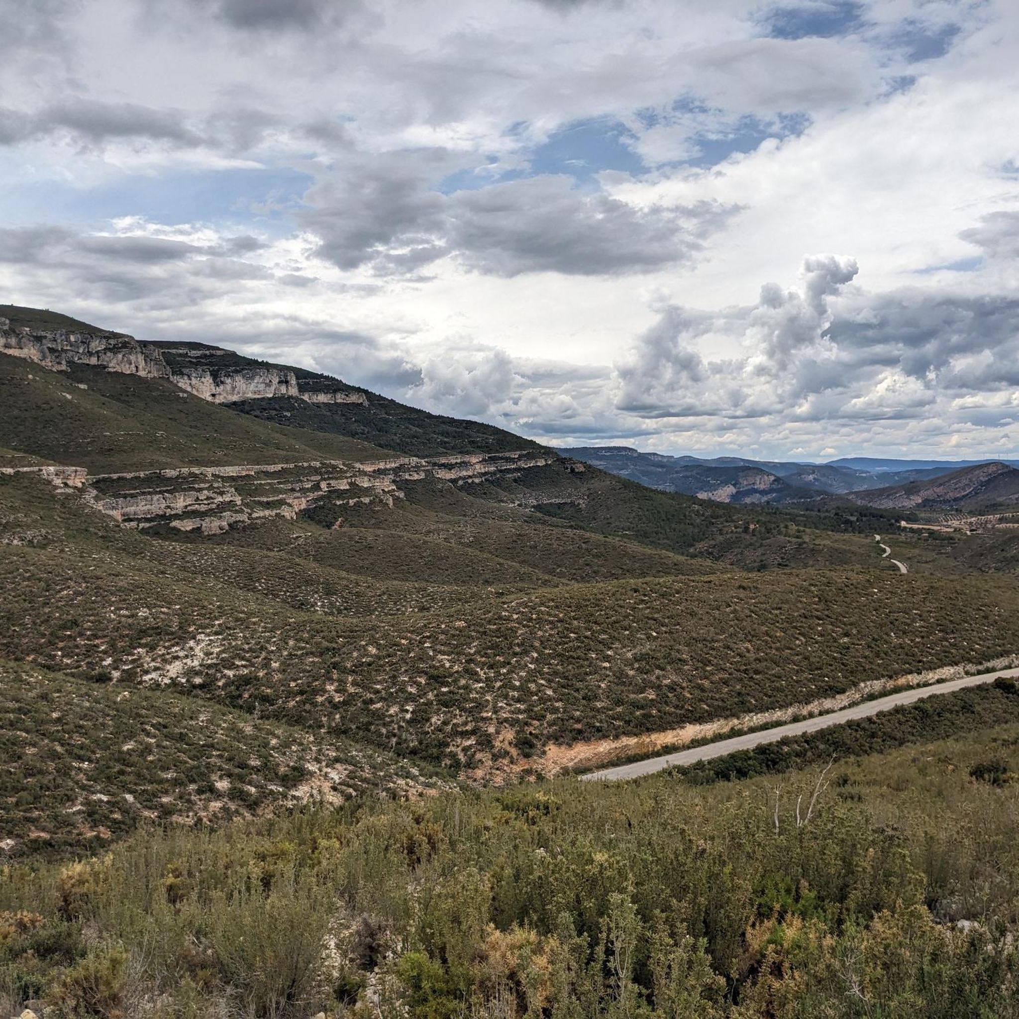
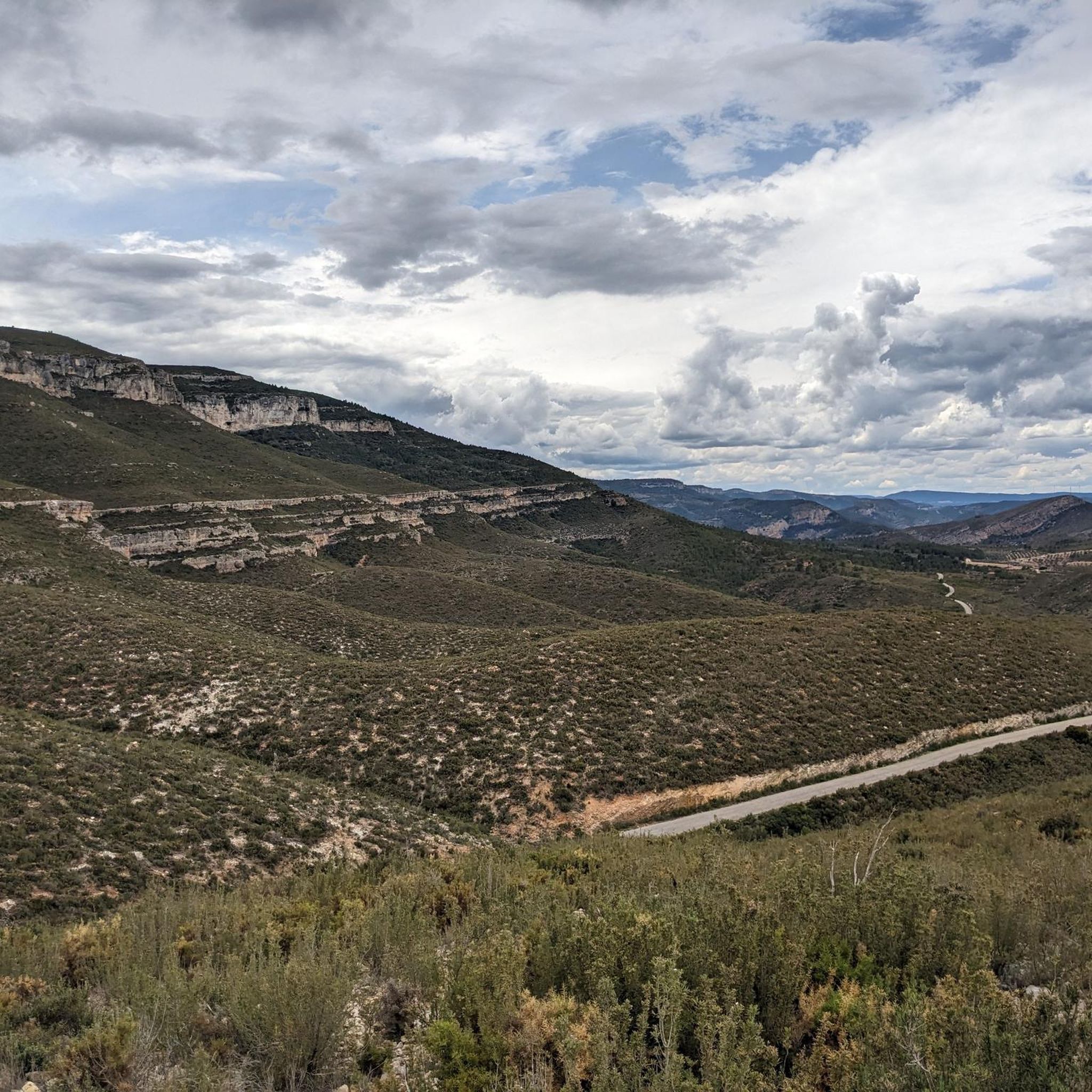
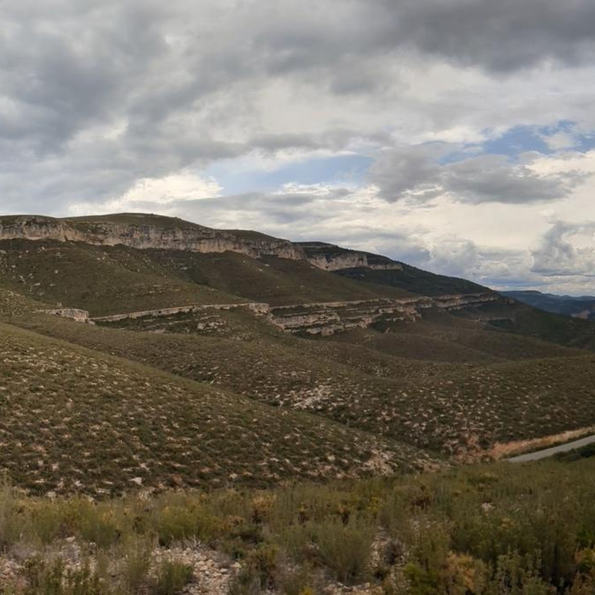
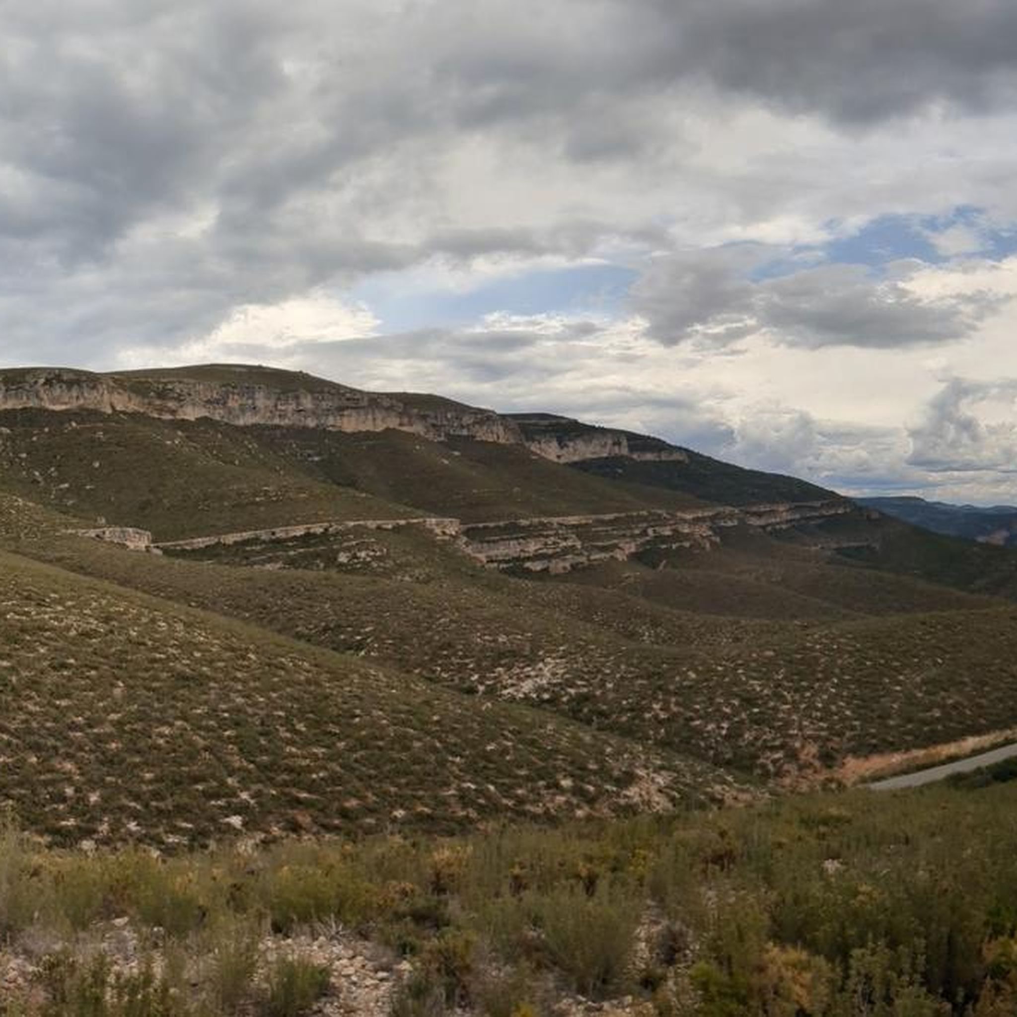
Road cycling routes around Embalse de El Naranjero traverse a mountainous interior characterized by rugged and steep terrain. The area features the dramatic Júcar Canyon, with towering limestone cliffs and deep gorges carved by the Júcar River. This topography provides varied cycling terrain, offering significant elevation changes for demanding ascents and exhilarating descents. Roads are often well-maintained with low traffic, making them suitable for challenging rides.
Best road cycling routes around Embalse de El Naranjero
- The most popular road cycling…
Last updated: June 27, 2026
5
riders
41.8km
03:01
1,080m
1,080m
Hard road ride. Very good fitness required. Some segments of this route may be unpaved and difficult to ride.
2
riders
80.9km
04:47
1,720m
1,720m
Hard road ride. Very good fitness required. Mostly well-paved surfaces and easy to ride.

Sign up for free
3.0
(1)
19
riders
59.3km
03:44
1,440m
1,440m
This difficult 36.9-mile road cycling route through the Jucar canyons from Cortes de Pallas offers dramatic scenery and 4719 feet of gain.
5.0
(1)
27
riders
89.4km
05:21
1,950m
1,950m
Hard road ride. Very good fitness required. Mostly well-paved surfaces and easy to ride.
7
riders
73.3km
04:15
1,430m
1,430m
Hard road ride. Very good fitness required. Mostly well-paved surfaces and easy to ride.
Get access to more routes and recommendations from other explorers.
Sign up for free
Already have an account?
Our route recommendations are based on thousands of hikes, rides, and runs completed by other people on komoot.
Start today with a free account
Your next adventure awaits.
Login or Signup
Tips from the Community


Traditional stone-built fountain, located at the entrance to this town in the Canal de Navarrés. It is a point of natural and heritage interest, frequented on hiking and water routes in the area, such as those near the Júcar canyon. It is located near the area of the Molino de los Moros and the Chorrador del Bosque («El Monstruo»). It is part of the municipality's water resources, often visited along with other points such as the Fuente de las Donas or the washhouses.
0
0
The pass begins when crossing the bridge over the Jucar river and ends when entering the town of Millares. It is 4.2 km at 4.3%
0
0
Rest area, just down a few steps from the road. Good shade, and running water for refreshment and drinking water from the fountain. There's a paella grill area (although, at least in summer, it's closed to public use), tables, and benches. Not to mention, the most remarkable thing is the view over the reservoir.
0
0
A lookout point overlooking the Cortes de Pallas Reservoir. It also has a parking area, wooden tables and benches, some children's games, and a stop for the tourist train. (I'm leaving the only photo I saved, but please add others; this one is bad :) )
0
0

For its views and bike routes
0
0

You will also find some wooden tables that invite you to stop and take a break.
0
0
Viewpoint with magnificent views of Cortes de Pallas and the Pallas reservoir. It is located down to the bridge and before going up to Cortes.
0
0
Frequently Asked Questions
What kind of terrain can I expect when road cycling around Embalse de El Naranjero?
The region around Embalse de El Naranjero is characterized by a mountainous interior with rugged and steep terrain. You'll encounter the dramatic Júcar Canyon, featuring towering limestone cliffs and deep gorges carved by the Júcar River. This topography provides significant elevation changes, making it ideal for demanding ascents and exhilarating descents. Roads are generally well-maintained with relatively low traffic.
Are there road cycling routes for all skill levels in this area?
While the area is known for its challenging terrain, offering 15 difficult routes, there are also 3 moderate routes available. This means cyclists with good fitness levels will find plenty of options, but those seeking less strenuous rides might have fewer choices.
What natural features can I expect to see along the road cycling routes?
Road cycling routes often wind through the spectacular Júcar Canyon, offering breathtaking views of towering limestone cliffs and dramatic gorges. You might also encounter sections along lush riverbanks and agricultural plains, providing a scenic contrast to the mountainous areas. While not directly on cycling paths, natural attractions like the Chorradores de Otonel waterfalls and Fuente Corbinet contribute to the overall picturesque environment.
Are there any notable viewpoints or landmarks along the road cycling routes?
Yes, many routes offer stunning vistas. For instance, the Tierra Colorá Viewpoint loop from Chorrador de Otonel is specifically designed to lead to scenic viewpoints. The region also features historical sites like the Chirel Castle, which offers impressive views from its mountain perch, and various viewpoints like "Tierra Colorá" providing panoramic vistas of the village and the reservoir.
What do other road cyclists enjoy most about road cycling in Embalse de El Naranjero?
The area is highly rated by the komoot community, with an average score of 4.5 stars from over 6 reviews. Cyclists frequently praise the challenging gradients, stunning natural backdrops, and the immersive experience of riding through the Júcar Canyons. The low traffic on many well-maintained roads is also a significant draw.
Are there any circular road cycling routes available?
Yes, many of the routes are designed as loops, allowing you to start and finish in the same location. Examples include the challenging Castillo de Cabas loop from La Pariderilla, the Tierra Colorá Viewpoint loop from Chorrador de Otonel, and the Alto de Ayora Hut – La Pileta Viewpoint loop from Cortes de Pallás.
What is the best time of year for road cycling around Embalse de El Naranjero?
The Valencia region generally offers excellent road cycling conditions. Given the mountainous terrain, spring and autumn are typically ideal, providing pleasant temperatures for tackling climbs and descents without the extreme heat of summer or the cooler, potentially wetter conditions of winter. Always check local weather forecasts before heading out.
Are there any long-distance road cycling routes in the area?
Yes, the region offers several longer routes for endurance cyclists. For example, the Tierra Colorá Viewpoint loop from Chorrador de Otonel covers over 80 kilometers (50 miles), and the Alto de Ayora Hut – La Pileta Viewpoint loop from Cortes de Pallás extends to nearly 90 kilometers (56 miles), both featuring significant elevation changes.
Can I find cafes or places to rest along the road cycling routes?
While specific cafes are not detailed for every route, the village of Cortes de Pallás, which serves as a starting point for routes like the Jucar Canyons Trail, would be a good place to find amenities. It's always advisable to carry sufficient water and snacks, especially on longer or more remote sections.
Is the area suitable for family-friendly road cycling?
Given the predominantly difficult and moderate ratings of the routes, with significant elevation changes and mountainous terrain, the area is generally more suited for experienced road cyclists. While some flatter sections exist along riverbanks, dedicated family-friendly road cycling routes designed for younger or less experienced riders are not a primary feature of this region's offerings.
How many road cycling routes are available around Embalse de El Naranjero?
There are 18 road cycling routes available around Embalse de El Naranjero, offering a variety of options for exploring the region's unique landscape.
Most popular routes around Embalse de El Naranjero

Get inspired with the komoot mobile app


Explore more
Browse the best Road cycling routes in other regions.
