The best road cycling routes around Tanygrisiau Reservior
4.9
(19)
1,319
riders
41
rides
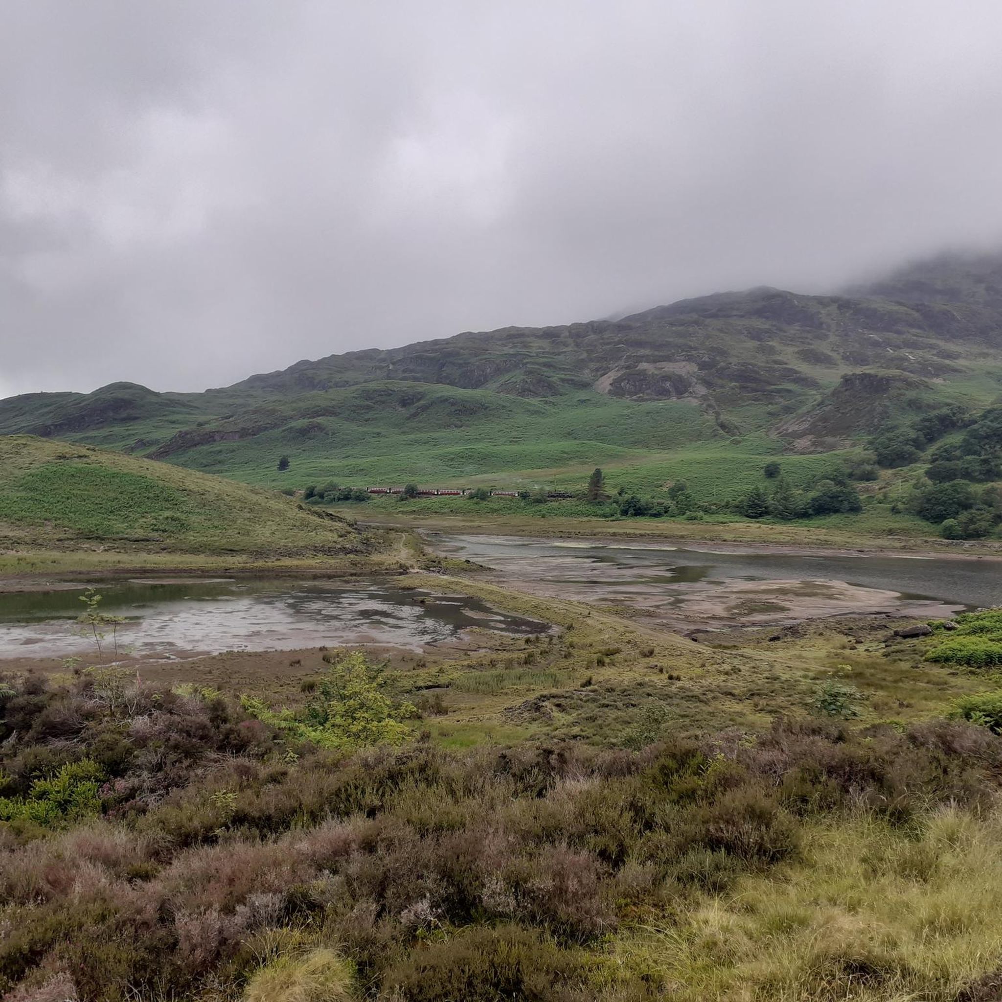
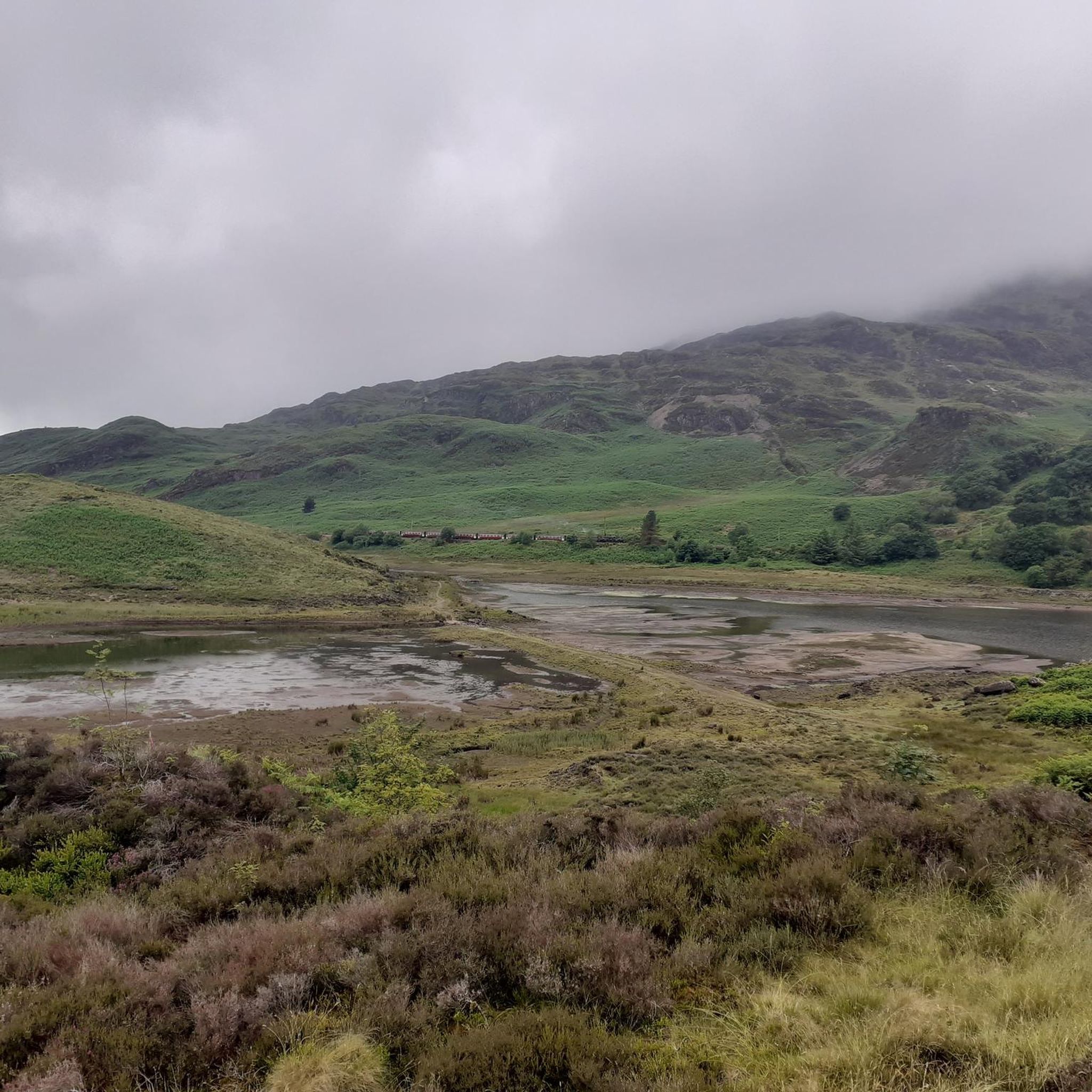
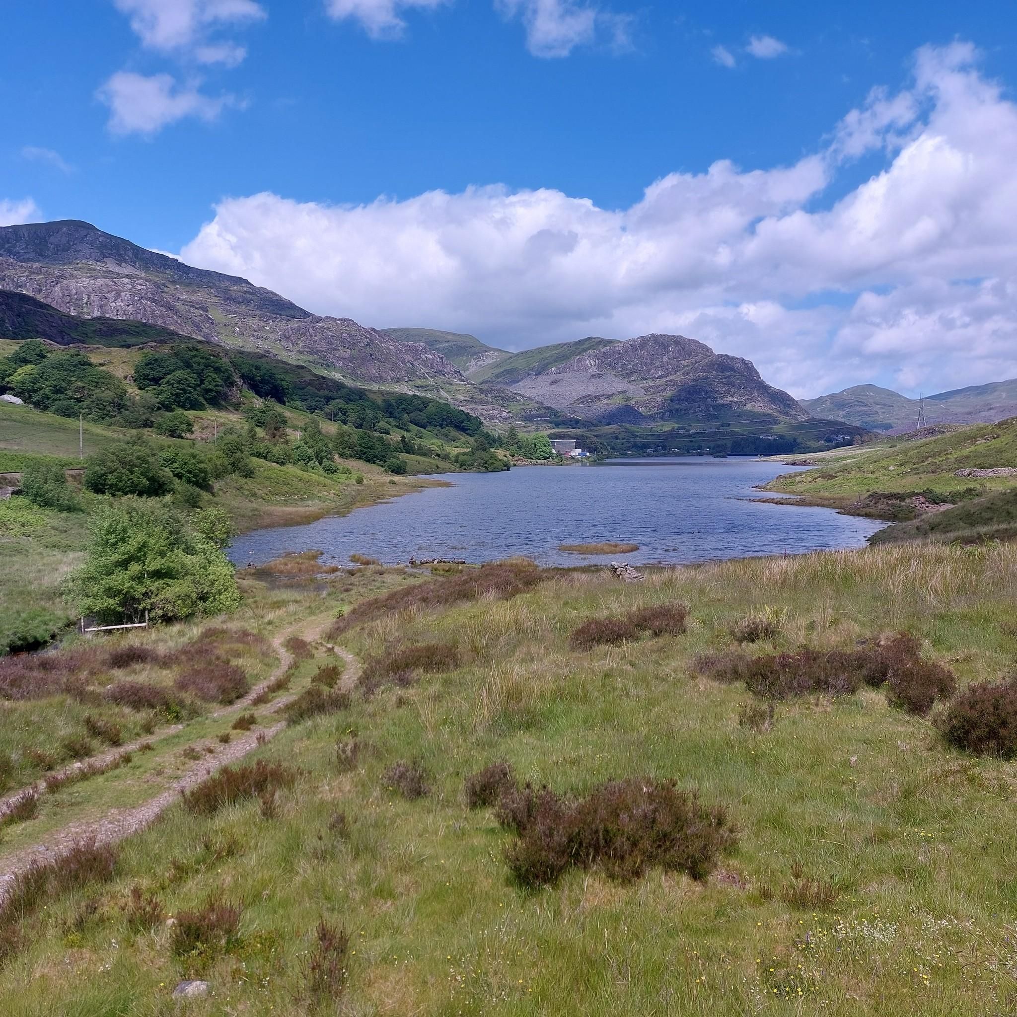
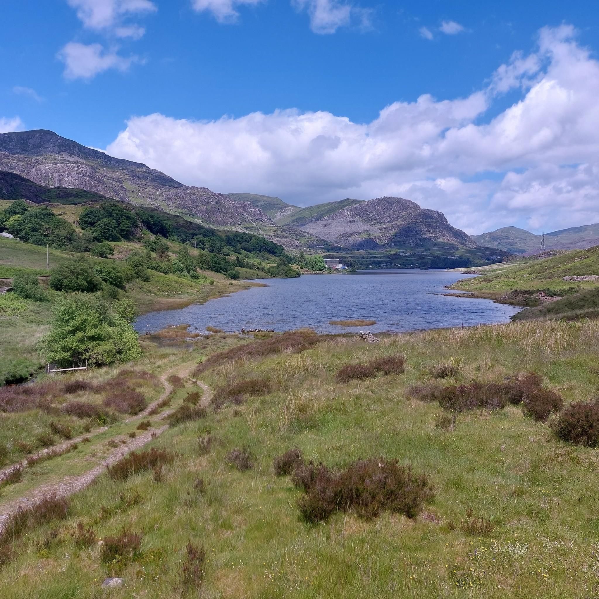
Road cycling routes around Tanygrisiau Reservoir are set within Snowdonia National Park, characterized by rugged mountains, the expansive reservoir, and remnants of the historic slate-quarrying industry. The terrain features significant elevation changes, with routes winding through valleys and alongside water bodies. Cyclists can expect a blend of natural scenery and industrial heritage, including disused quarries and waterfalls. The area offers varied road surfaces, from well-paved sections to more challenging unpaved segments on some routes.
Best road cycling routes around Tanygrisiau…
Last updated: September 28, 2026
112
riders
80.6km
04:20
1,290m
1,290m
Hard road ride. Very good fitness required. Mostly well-paved surfaces and easy to ride.
5.0
(1)
35
riders
13.1km
00:54
350m
350m
Moderate road ride. Good fitness required. Some segments of this route may be unpaved and difficult to ride.

22
riders
74.0km
03:31
830m
830m
Moderate road ride. Good fitness required. Mostly well-paved surfaces and easy to ride.
5.0
(1)
22
riders
50.5km
02:37
740m
740m
Moderate road ride. Good fitness required. Mostly well-paved surfaces and easy to ride.
26
riders
119km
05:42
1,290m
1,290m
Hard road ride. Very good fitness required. Some segments of this route may be unpaved and difficult to ride.
Get access to more routes and recommendations from other explorers.
Already have an account?
Our route recommendations are based on thousands of hikes, rides, and runs completed by other people on komoot.
Start today with a free account
Your next adventure awaits.
Tips from the Community

The bridge was probably built in the 17th century and then radically rebuilt and widened in 1795-1796. As with many older bridges, folk tales claimed that the bridge was built by the devil or by the Romans (which an investigation by the National Trust described as "very doubtful"). During the reconstruction, a stone was found with the inscription "W M 1656" scratched on it, suggesting that the bridge is at least that old. Pont Aberglaslyn is located near the downstream end of the Aberglaslyn Pass. Although the location is rocky and the river flows through rapids upstream, it is not far above sea level. (Wikipedia)
7
0

Prysor Cafe now open most days, nice seating outside overlooking llyn.
0
0

Porthmadog came about after William Madocks (a guess this is where the name of the town derives from) built a sea wall, the Cob to reclaim land from the sea for farming use. The diversion of the river caused it to scour out a new natural harbour deep enough for small ships and the first public wharves appeared in 1825. Quarry companies followed, with wharves along the shore mainly for the transport of slate and due to this the town grew in population and importance.
1
0


You'll probably be too gassed to look out for it, about 2/3rds the way up to the top of Cwm Penmachno from Lan Ffestiniog, so a good indicator of how far you've come.
0
0

Car park gets full up top so park sensibly park close to next car gives more space for others. Don’t park in front of gate as this is used by farmer Go Below and mountain/cave rescue. More parking available at bottom of hill.
0
0
Frequently Asked Questions
What kind of terrain can I expect when road cycling around Tanygrisiau Reservoir?
The terrain around Tanygrisiau Reservoir is characterized by rugged mountains, the expansive reservoir, and remnants of the historic slate-quarrying industry. You'll encounter significant elevation changes, with routes winding through valleys and alongside water bodies. While many routes feature mostly well-paved surfaces, some moderate and hard routes may include segments that are unpaved and more challenging, offering a blend of natural scenery and industrial heritage.
Are there road cycling routes suitable for beginners or those looking for an easier ride?
Yes, while the area is known for its challenging ascents, there are options for less experienced riders. The region offers a range of routes, including 7 classified as easy and 24 as moderate, allowing cyclists to choose paths that match their fitness levels. These often involve more gentle, waterside paths compared to the demanding mountain climbs.
What are some notable landmarks or points of interest I might see along the road cycling routes?
Road cycling routes often weave through dramatic mountainous terrain, past disused slate quarries like Cwmorthin Quarry, Rhosydd Quarry, and Moelwyn Mine, offering a glimpse into the region's industrial past. You might also see impressive waterfalls, such as the Cwmorthin waterfall, and the Ffestiniog Power Station, which is integral to the reservoir. The historic Ffestiniog Railway also runs through the area, with the Tanygrisiau railway station being a point of interest.
Are there any circular road cycling routes around Tanygrisiau Reservoir?
Yes, many of the routes in the area are designed as loops, allowing you to start and finish in the same location. For example, the Cwmorthin Falls – Stwlan Dam loop from Blaenau Ffestiniog is a moderate 13.9 km circular path, and the more challenging Blaenau Ffestiniog, Beddgelert and Capel Curig Loop is an 80.6 km circular route.
What do other road cyclists say about their experience in Tanygrisiau Reservoir?
The road cycling routes around Tanygrisiau Reservoir are highly rated by the komoot community, with an average score of 5.0 stars from more than 10 reviews. Over 1,300 road cyclists have used komoot to explore the varied terrain, often praising the stunning natural beauty, dramatic landscapes, and the unique blend of nature and industrial heritage.
Is Tanygrisiau Reservoir a good destination for advanced road cyclists seeking a challenge?
Absolutely. Tanygrisiau Reservoir offers numerous challenging routes for advanced road cyclists. There are 13 routes classified as difficult, featuring significant ascents up mountains and substantial elevation gains. An example is the Blaenau Ffestiniog, Beddgelert and Capel Curig Loop, an 80.6 km trail with over 1,290 meters of elevation gain through mountainous landscapes.
Are there places to stop for refreshments or food near the cycling routes?
Yes, there is a dog-friendly cafe conveniently located by the station at Tanygrisiau, providing a welcoming stop for refreshments. Additionally, the nearby town of Blaenau Ffestiniog offers further options for food and drink.
What is the best time of year to go road cycling in Tanygrisiau Reservoir?
The region's high rainfall contributes to its lush, dramatic scenery. While the Moelwyns offer some protection from northerly gales, providing a relatively mild climate, the best time for road cycling is generally during the drier months, typically spring through early autumn, to enjoy the routes with more predictable weather conditions. Winter can bring more challenging conditions due to rain and potentially colder temperatures.
Is it possible to reach the cycling routes using public transport?
Yes, the Tanygrisiau railway station is part of the historic Ffestiniog Railway, which can provide access to the area. This offers a scenic way to arrive and connect with the cycling routes. Blaenau Ffestiniog, a nearby town, also serves as a hub for public transport options.
Are there any routes that offer views of waterfalls?
Yes, the landscape around Tanygrisiau is known for its impressive waterfalls. The Cwmorthin Falls – Stwlan Dam loop from Blaenau Ffestiniog specifically offers views of Cwmorthin Falls, providing a picturesque natural feature along your ride.
Where can I park my car when visiting Tanygrisiau Reservoir for road cycling?
Parking is generally available in the vicinity of Tanygrisiau Reservoir and the nearby town of Blaenau Ffestiniog. Specific parking areas can be found near the Tanygrisiau railway station, offering convenient access to many of the road cycling routes.
Are there any long-distance road cycling routes available?
Yes, for those seeking longer rides, the area offers several options. The View of Barmouth Harbour – Harlech Castle loop from Blaenau Ffestiniog is a difficult 119 km route, and the View from Pen Cefn Road – Cynfal Falls loop from Blaenau Ffestiniog covers 50.8 km, providing ample distance for endurance cyclists.
Most popular routes around Tanygrisiau Reservior

Get inspired with the komoot mobile app


Explore more
Browse the best Road cycling routes in other regions.
