The best walks and hikes around Keggall
4.3
(93)
797
hikers
64
hikes
Hiking trails around Keggall are characterized by a mix of mountainous terrain, tranquil lakes, and rolling hills. The region offers diverse landscapes, including the prominent Camlough Mountain and the scenic Ring of Gullion. These features provide varied environments for outdoor exploration.
Best hiking trails around Keggall
- The most popular hiking route is Camlough Mountain & Lake loop, a 6.1 miles (9.8 km) trail that takes 3 hours 2 minutes to complete. This moderate route features ascents with views of…
Last updated: May 21, 2026
2
hikers
9.79km
03:02
340m
340m
Hike the moderate 6.1-mile Camlough Mountain & Lake loop for panoramic views and diverse terrain in the Ring of Gullion AONB.
4
hikers
8.64km
02:44
330m
330m
Hike Camlough Mountain from Camlough for moderate terrain, panoramic views, and a unique geological experience in the Ring of Gullion.

Sign up for free
3
hikers
4.32km
01:10
60m
60m
This easy 2.7-mile loop around Bessbrook Pond offers a pleasant hike past the Bessbrook War Memorial and through a historic village.
5.0
(1)
20
hikers
5.48km
01:40
200m
200m
Easy hike. Great for any fitness level. Easily-accessible paths. Suitable for all skill levels.
5.0
(1)
16
hikers
6.52km
02:06
290m
290m
Moderate hike. Good fitness required. Easily-accessible paths. Suitable for all skill levels.
Get access to more routes and recommendations from other explorers.
Sign up for free
Already have an account?
Our route recommendations are based on thousands of hikes, rides, and runs completed by other people on komoot.
Start today with a free account
Your next adventure awaits.
Login or Signup

Tips from the Community

Here, too, passersby encounter a "war memorial" in the center of town. Everywhere in the villages and towns, victims were mourned during the terrible wars (especially, but not only, in the first half of the last century) – often young people who had to endure suffering and pain and ultimately paid with their own lives for their service to their fatherland far from home. Their names are always inscribed on the respective memorial to at least keep the memory alive.
0
0
Here, too, hikers and walkers will encounter a "war memorial" in the center of town, as throughout the villages and towns, victims of the terrible wars (especially in the first half of the last century) were mourned – often young people who had to endure suffering and pain and ultimately paid with their own lives for their service to their country far from home. Their names are always inscribed on the respective memorial to at least keep the memory alive.
0
0

The war memorial in Bessbrook stands silently yet full of meaning in the heart of the village. The white obelisk bears the names of almost ninety people who gave their lives in the Second World War - a sign of remembrance and remembrance of those who once lived here and defended their homeland. As you walk past, you can read the inscriptions that tell the stories of those who fell. The square around the memorial is simple, but that is precisely what draws the focus to the message of remembrance and the silent commemoration of the past. The surrounding houses seem to carry the history of the place and you can almost feel how yesterday and today are connected here. A place that makes you pause and reminds you of how important it is to preserve history.
2
0
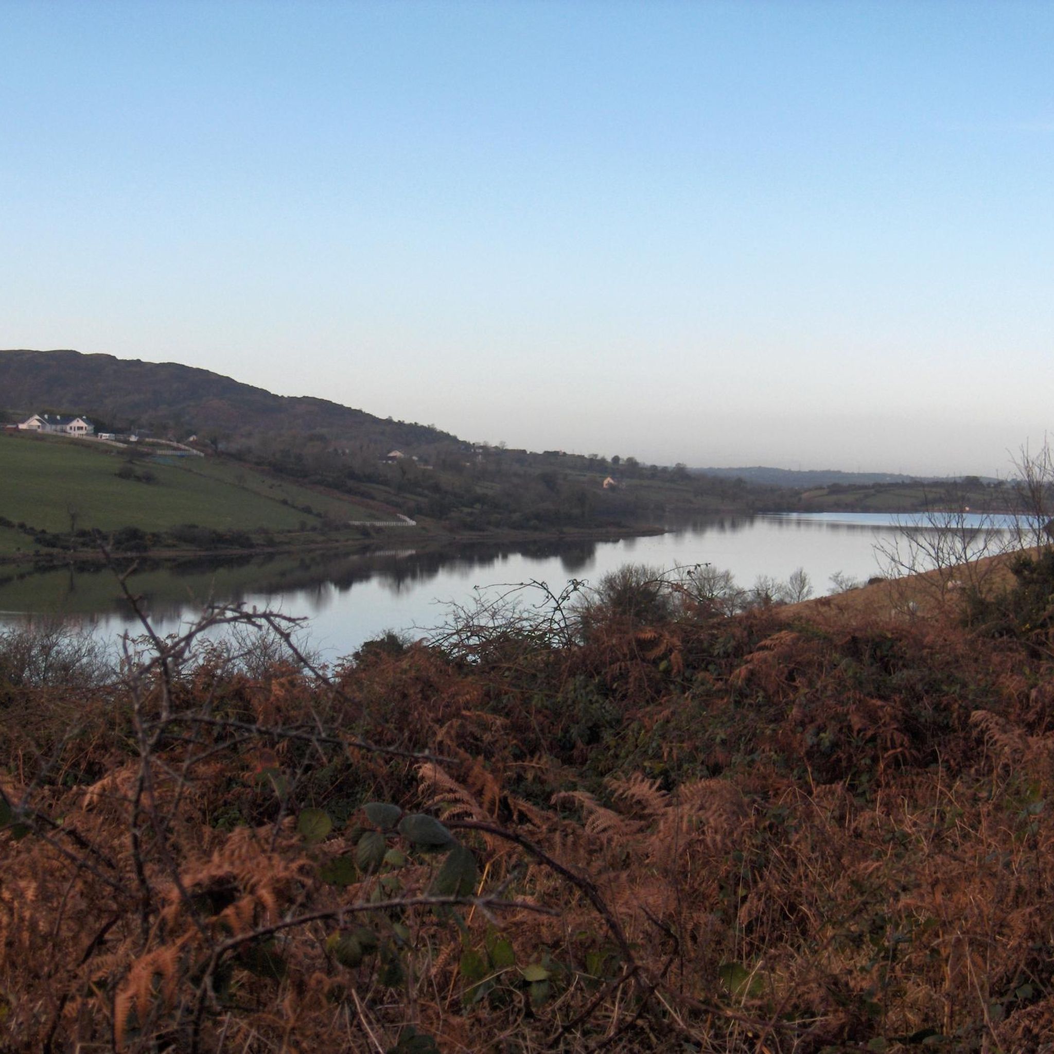
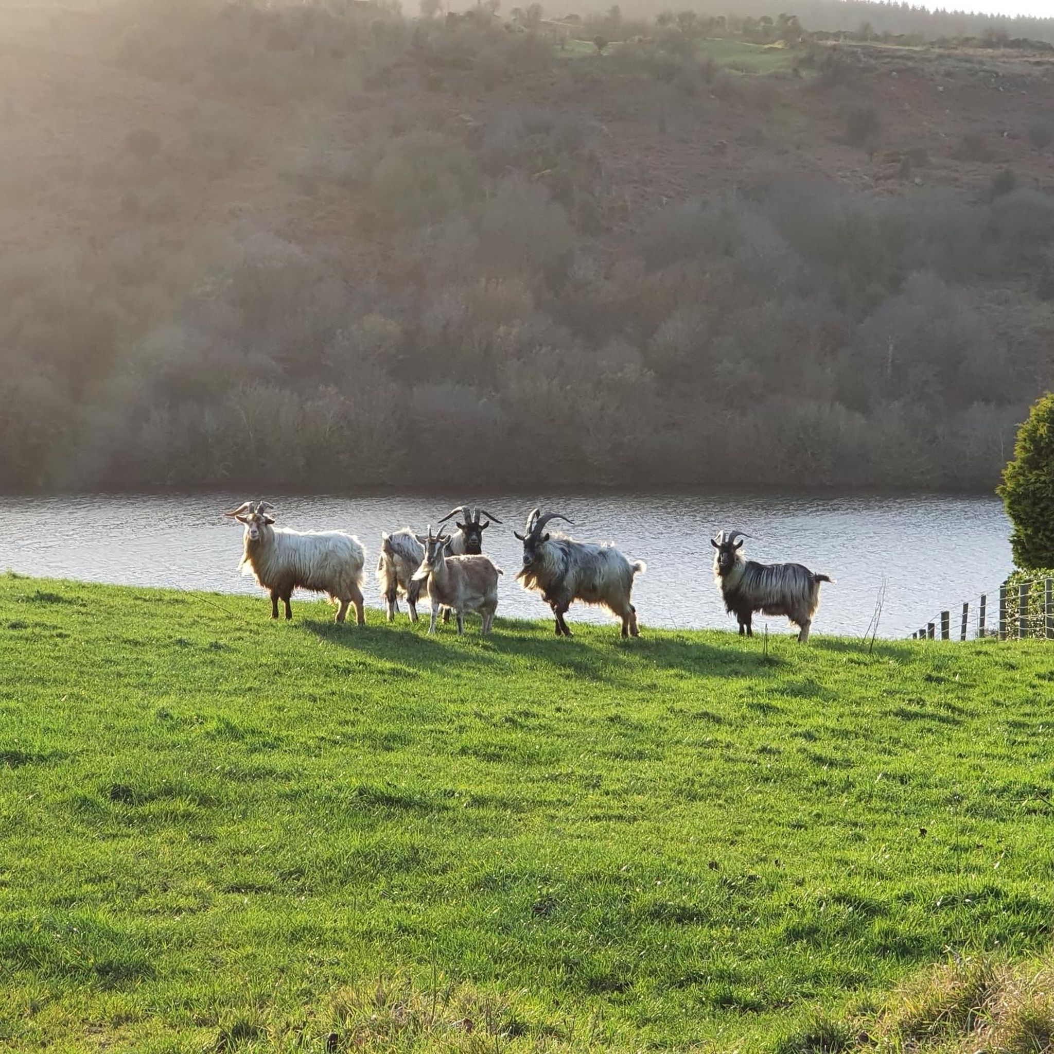
Camlough Lake is a peaceful place where time seems to pass more slowly. As you stroll along the path, the sparkling water stretches out before you, framed by rolling hills and the shade of the surrounding forests. A few curious goats watch you from a meadow, their gaze almost as interested as yours as you enjoy the view. There is not only nature to experience here, but also small amenities - a car park and a picnic area invite you to take a break. The view of the lake, which once served as a reservoir, is a wonderful way to relax. The lake is also a popular destination for anglers who wait patiently for their catch here. A walk around Camlough Lake is a welcome break that simply does you good.
1
0
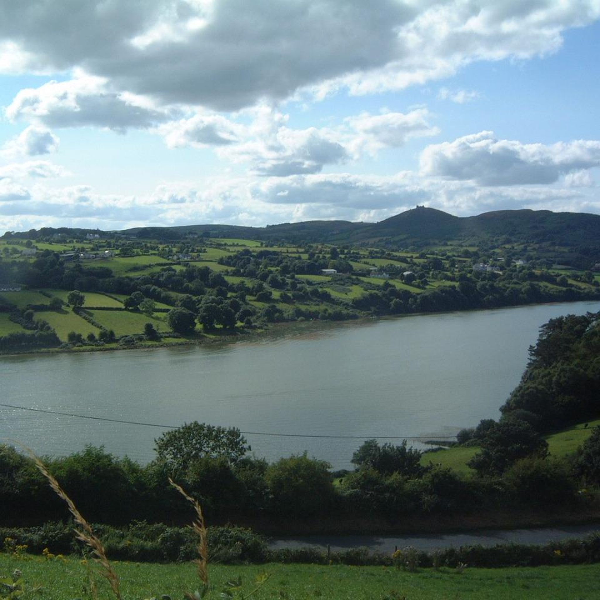
Gordon's Lane, just a stone's throw south of Camlough, invites you to a quiet journey of discovery. The narrow lane winds gently through the hills and takes you right into the green of the fields. Old stone walls and thorny hedges line the path on either side, while behind every bend you catch a new view of the valley. From up here, Camlough seems almost like a silent model, spreading out in the distance while nature maintains its own rhythm. The path leads you past pastures and you notice how the noise of everyday life quietly fades away. Especially after a rain shower, the asphalt sparkles and the fresh scent of grass is in the air - a little adventure off the beaten track.
1
0
As soon as you cross the gentle ridge of Slieve Gullion, the North Cairn stretches out before you - a slightly smaller hill than its southern neighbour, but no less impressive. The stones that gather here seem like silent sentinels, witnesses of the distant Bronze Age. Two ancient stone boxes were once found here during excavations, which lay hidden in the depths of history. The North Cairn, with its diameter of around 18 metres, invites you to pause for a moment and enjoy the peace. But it is not just the Cairn that is fascinating. Right next to it lies "Calliagh Beara's Lough", a quiet mountain lake that, according to legend, is the home of the witch Beara. On a clear day, the sky is reflected in the calm waters and you can almost feel the ancient magic of this place coming to life. The road here may be rocky, but the landscape rewards with sweeping views and a touch of mysticism that makes Slieve Gullion something special.
1
0


This War Memorial in Bessbrook is dedicated to the 86 individuals from the village who gave their lives in the Second World War. It is a 17-foot (5.75 meters) tall obelisk.
2
0
Frequently Asked Questions
How many hiking trails are available around Keggall?
There are over 60 hiking trails in the Keggall area, offering a diverse range of experiences from easy strolls to more challenging mountain ascents. The komoot community has explored these routes over 700 times.
What is the best time of year to go hiking in Keggall?
Hiking in Keggall can be enjoyed year-round. However, spring and autumn often provide the most comfortable conditions with milder temperatures and beautiful scenery. Winter hikes are also possible, but be prepared for potentially colder, wetter weather and shorter daylight hours, especially on higher ground like Camlough Mountain.
Are there any easy, family-friendly hikes in Keggall?
Yes, Keggall offers several easy routes suitable for families. A great option is the Bessbrook War Memorial — loop around the Bessbrook Pond, which is a gentle 2.7-mile (4.3 km) trail taking about 1 hour 10 minutes to complete. It's a pleasant pondside walk perfect for all ages.
Can I bring my dog on the hiking trails in Keggall?
Many trails in Keggall are dog-friendly, but it's always recommended to keep your dog on a leash, especially in areas with livestock or protected wildlife. Always ensure you clean up after your pet to help keep the trails enjoyable for everyone.
Are there any circular hiking routes in Keggall?
Yes, Keggall features several excellent circular walks. A popular choice is the Camlough Mountain & Lake loop, a 6.1-mile (9.8 km) moderate trail that offers ascents with stunning views of the lake and surrounding mountain scenery.
What kind of landscapes can I expect to see while hiking in Keggall?
Keggall's landscape is diverse, featuring mountainous terrain, tranquil lakes, and rolling hills. You'll encounter prominent features like Camlough Mountain and the scenic Ring of Gullion, offering continuous mountain scenery, serene lake loops, and gentle pondside walks.
What are some notable viewpoints or attractions along the hiking trails?
Hikers in Keggall can enjoy several interesting sights. The Slieve Gullion Summit offers expansive views. You can also explore natural features like Camlough Lake and Calliagh Beara Lough. For those interested in history and folklore, the North Cairn of Slieve Gullion and Calliagh Beara's Lough, or the Druids' Circle in Ravensdale Forest are worth visiting.
How long do hiking trails in Keggall typically take to complete?
Hiking durations in Keggall vary significantly based on the trail's length and difficulty. Easy pondside loops, like the one around Bessbrook Pond, can take just over an hour. Moderate mountain routes, such as the Camlough Mountain from Camlough, typically require around 2.5 to 3 hours.
Are there public transport options to reach hiking trails in Keggall?
While some trailheads might be accessible by local bus services, public transport options can be limited for reaching all hiking trails in Keggall, especially those in more remote mountainous areas. It's advisable to check local bus schedules in advance or consider driving to trailheads.
What do other hikers say about the trails in Keggall?
The hiking trails in Keggall are highly regarded by the komoot community, holding an average rating of 4.4 stars from nearly 90 reviews. Hikers often praise the continuous mountain scenery, tranquil lake views, and the variety of routes available for different skill levels.
Are there any easy-to-moderate mountain hikes in Keggall?
Yes, for those looking for a mountain experience without extreme difficulty, the Summit of Ring of Gullion – Camlough Mountain Summit loop from Ballinliss is an excellent choice. It's an easy 3.4-mile (5.5 km) route with an elevation gain of around 197 meters, offering rewarding views.
Most popular routes around Keggall
Most popular attractions around Keggall

Get inspired with the komoot mobile app


Explore more
Browse the best Hikes in other regions.
