The best road cycling routes around Lake Vyrnwy
165
riders
13
rides
Road cycling around Lake Vyrnwy offers varied terrain within the remote Berwyn Mountains and bordering Snowdonia National Park. The region features unspoiled open countryside, extensive moorlands, and dense woodlands, providing diverse cycling environments. Cyclists encounter significant elevation changes, including challenging climbs and descents, alongside flatter routes around the lake perimeter. Notable features include the Victorian-era Lake Vyrnwy Dam and the ornate Straining Tower.
Best road cycling routes around Lake Vyrnwy
- The most popular road cycling route is Lake Vyrnwy Dam…
Last updated: September 30, 2026
8
riders
44.4km
02:04
560m
560m
Moderate road ride. Good fitness required. Mostly well-paved surfaces and easy to ride.
2
riders
81.9km
04:29
1,390m
1,390m
Hard road ride. Very good fitness required. Some segments of this route may be unpaved and difficult to ride.

23
riders
75.2km
03:43
970m
970m
Hard road ride. Very good fitness required. Mostly well-paved surfaces and easy to ride.
18
riders
42.9km
02:07
630m
630m
Moderate road ride. Good fitness required. Mostly well-paved surfaces and easy to ride.
10
riders
99.6km
05:13
1,540m
1,540m
Hard road ride. Very good fitness required. Mostly well-paved surfaces and easy to ride.
Get access to more routes and recommendations from other explorers.
Already have an account?
Our route recommendations are based on thousands of hikes, rides, and runs completed by other people on komoot.
Start today with a free account
Your next adventure awaits.
Tips from the Community

It is a great climb through barren moorland. A couple of short steep bits but then undulating to provide time to take in the sourondings. Before the final steep section to the top. An outstanding route even on my 80s
0
0

The climb up to Bwlch-y-Groes from Llanymawddwy is a tough one. It is about 3.4 km long and has about 387 m of vertical ascent to get to the gap at 546 m above sea level. You will have an average gradient of 11.3% to grind away at, but you will be rewarded with fantastic views north and south.
0
0

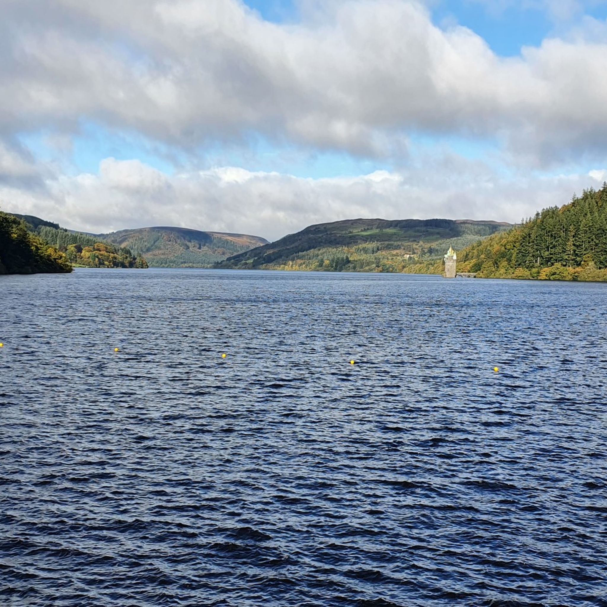
Lake Vyrnwys straining tower! Lovely place and gives it that fairy tale vibe. One of my special places is Vyrnwy.
0
0

Gorgeous area. Be aware the road/trail on the south side (including access to/from Llanymawddwy) are currently closed due to damage from storm Darragh. See https://www.hdcymru.co.uk/our-visitor-sites/lake-vyrnwy/storm-darragh/ for more details.
0
0


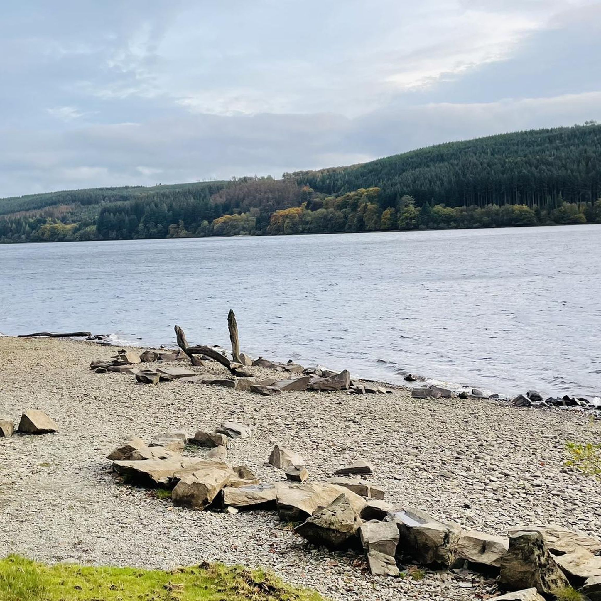
There is a little cafe above the main car park for a coffee and cake after the "gift shop" labelled walks. As usual, Komoot makes the walk easier than using signposts - remember to download to the phone app. Kayaking/canoeing around the lake is only possible for about half of it due to a protected bird sanctuary.
0
0

located in the old square it's a great place to stop for a brake, there's a great amount of outdoor seating either out in the sun or in the shade. With bike racks at hand and a lovely setting it's a good stop off.
0
0
Frequently Asked Questions
How many road cycling routes are available around Lake Vyrnwy?
Komoot offers a selection of 11 road cycling routes around Lake Vyrnwy, ranging from moderate to difficult. These routes allow you to explore the diverse landscapes of the Berwyn Mountains and the edge of Snowdonia National Park.
Are there easy road cycling routes suitable for beginners or families?
While many routes around Lake Vyrnwy feature significant elevation changes, the approximately 11.75-mile perimeter road around the lake is generally quiet and relatively flat, making it suitable for beginners or those seeking a leisurely ride. However, komoot's listed road cycling routes are primarily moderate to difficult, so families with younger children might prefer dedicated cycle paths if available, or consider the lake perimeter for a gentler experience.
What are some of the most challenging road cycling routes in the area?
For experienced cyclists seeking a challenge, the region offers demanding routes with significant climbs. A notable example is the Lake Vyrnwy Dam – Bwlch y Groes loop from Hendre Car Park, which includes the fearsome Bwlch y Groes, known as 'Hellfire Pass' and Wales's highest road. Another difficult option is the Bala Lake – Lake Vyrnwy Dam loop from Llangynog, connecting two major lakes with substantial elevation gains.
What kind of terrain can I expect when road cycling around Lake Vyrnwy?
Road cycling around Lake Vyrnwy offers varied terrain. You'll find relatively flat sections, particularly around the lake's perimeter, but also significant elevation changes with challenging climbs and descents as routes ascend into the Berwyn Mountains and towards Snowdonia National Park. The landscape features unspoiled open countryside, extensive moorlands, and dense woodlands.
Are there any notable landmarks or natural features to see along the road cycling routes?
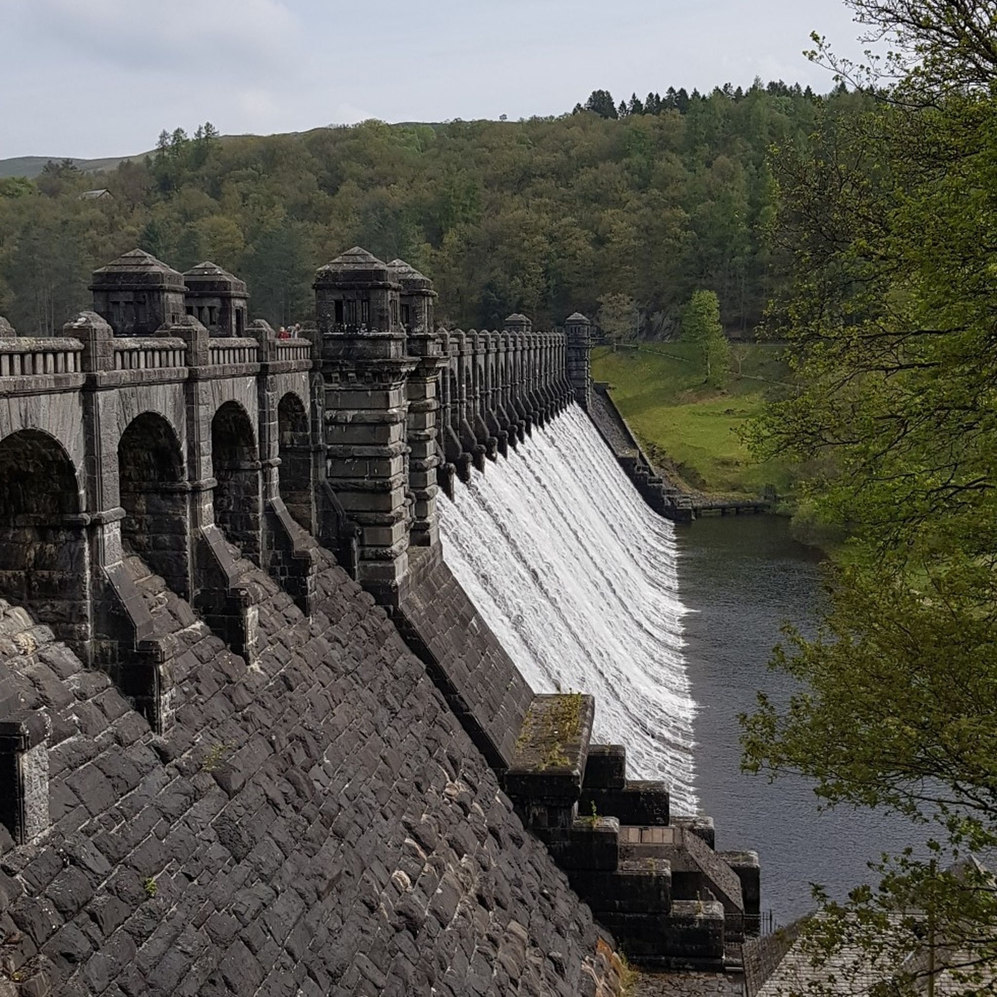
Absolutely. Cyclists can encounter several impressive landmarks and natural features. The Victorian-era Lake Vyrnwy Dam and the ornate Lake Vyrnwy Straining Tower are significant architectural sights. You might also pass by the Nant y Maes Waterfall, or explore the unique Giants of Vyrnwy forest and the Hand Sculpture of the Tallest Tree in the UK.
Where can I find scenic viewpoints while cycling around Lake Vyrnwy?
The entire region offers breathtaking vistas, especially as you gain elevation. Routes that ascend into the moorlands provide 360-degree views of the Berwyn Mountains. The View of Lake Vyrnwy highlight offers a classic perspective, and the challenging Bwlch y Groes climb rewards cyclists with extensive mountain views.
Is there parking available for cyclists at Lake Vyrnwy?
Yes, parking is available at various points around Lake Vyrnwy. Many routes, such as the Lake Vyrnwy Dam – Bwlch y Groes loop, often start from designated car parks like Hendre Car Park, providing convenient access for cyclists.
What is the best time of year to go road cycling around Lake Vyrnwy?
The spring, summer, and early autumn months generally offer the most favorable conditions for road cycling around Lake Vyrnwy, with milder weather and longer daylight hours. However, the region's natural beauty is captivating year-round, and each season brings its own charm. Always check local weather forecasts before heading out, especially for routes in higher elevations.
Are there any cafes or places to stop for refreshments along the routes?
Yes, there are options for refreshments. For instance, the Artisans Café & Gift Shop – Lake Vyrnwy Dam loop from Abertridwr indicates a café along its path. The main village areas and around the dam typically offer places to stop for food and drink.
How long does it typically take to cycle around Lake Vyrnwy?
The time it takes depends on the specific route and your pace. A full circuit of the lake's perimeter road (approximately 11.75 miles) can be a leisurely ride. For more extensive routes, such as the Lake Vyrnwy – Lake Vyrnwy Straining Tower loop from Llangynog, it typically takes around 2 hours 24 minutes for a 30.4-mile (49.0 km) journey. Longer, more challenging routes can take upwards of 4 to 5 hours or more.
What makes road cycling around Lake Vyrnwy unique?
Road cycling around Lake Vyrnwy is unique due to its blend of stunning natural beauty, varied terrain, and remote setting within the Berwyn Mountains and bordering Snowdonia National Park. You'll experience everything from tranquil lakeside rides to challenging ascents with panoramic views, all while passing impressive Victorian architecture and diverse wildlife in an RSPB nature reserve.
Most popular routes around Lake Vyrnwy
Most popular attractions around Lake Vyrnwy

Get inspired with the komoot mobile app


Explore more
Browse the best Road cycling routes in other regions.
