The best walks and hikes around Astwood
4.4
(344)
3,018
hikers
205
hikes
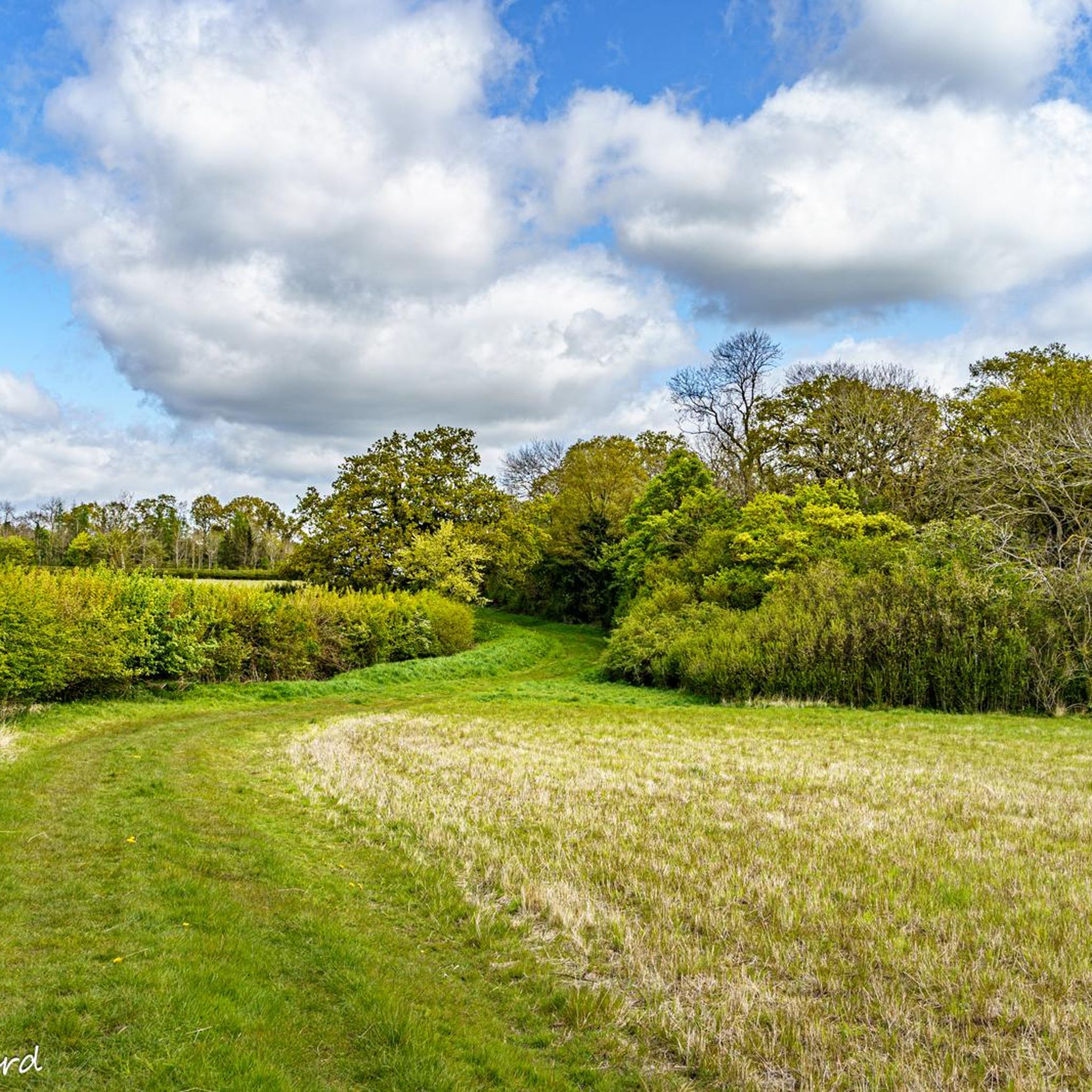
Hikes around Astwood Buckinghamshire explore a landscape of gentle rolling hills, river valleys, and patches of woodland. The region sits on the border of Buckinghamshire and Bedfordshire, characterized by a network of public footpaths through open farmland. The terrain is generally low-lying, with routes following the River Great Ouse or passing through historic villages like Turvey and Stagsden.
Best hiking trails around Astwood
- The most popular hiking route is Bromham Watermill – The Swan, Bromham loop from Stagsden, a…
Last updated: July 6, 2026
3.7
(3)
16
hikers
9.63km
02:33
90m
90m
Moderate hike. Good fitness required. Easily-accessible paths. Suitable for all skill levels.
4.0
(1)
14
hikers
5.66km
01:29
40m
40m
Easy hike. Great for any fitness level. Easily-accessible paths. Suitable for all skill levels.

Sign up for free
4.5
(2)
15
hikers
Easy hike. Great for any fitness level. Easily-accessible paths. Suitable for all skill levels.
2.0
(1)
10
hikers
10.0km
02:38
90m
90m
Moderate hike. Good fitness required. Easily-accessible paths. Suitable for all skill levels.
3.0
(1)
7
hikers
6.35km
01:39
40m
40m
Easy hike. Great for any fitness level. Easily-accessible paths. Suitable for all skill levels.
Get access to more routes and recommendations from other explorers.
Sign up for free
Already have an account?
Our route recommendations are based on thousands of hikes, rides, and runs completed by other people on komoot.
Start today with a free account
Your next adventure awaits.
Login or Signup




Tips from the Community

The route does a dog-leg about here, which takes you to the other side of the hedge. The official bridleway route. I keep missing it - although you end up at the right place in the end as you travel parallel to it and rejoin through a gap in the hedge at the end of the field.
0
0

Bromham Mill Coffee Shop is a charming café located within the historic Bromham Mill complex and is a great place to grab some refreshments on your ride
0
0

Beautiful Georgian pub in the heart of Bromham. A great place to wind down after your walk and enjoy some familiar food or a refreshing drink.
1
0
Quite an impressive cutting with a substantial brick bridge. Its quite difficult to see from the path but impressive nonetheless.
0
0
The route we followed is the new path. The one to the NE on OS maps is no longer there. Dont follow the road as wee did for awhile turn straight onto the footpath - it's fairly obvious.
0
0

Bromham Watermill is a flour mill on the River Great Ouse. Earlier mills existed on this site, but the current incarnation was built of brick, timber and stone in either the late 18th or early 19th century. Its cafe is a good place to grab a coffee before or after exploring the nearby Bromham Mill Nature Reserve.
1
0
Frequently Asked Questions
Are there many circular walks starting near Astwood?
Yes, the area is well-suited for circular hikes. Many routes begin and end in the surrounding villages, allowing you to explore the countryside without backtracking. For a shorter, accessible loop, consider the Brick Tunnel and Footpath loop from Turvey, which offers a pleasant walk through the local landscape.
Can I take my dog on the hiking trails around Astwood?
Most public footpaths in the countryside around Astwood are suitable for walking with a dog. However, you will likely cross fields with livestock, so it's essential to keep your dog on a lead in these areas. The paths are generally wide and through open farmland or woodland.
Are there any easy, family-friendly hikes in the area?
Definitely. The terrain around Astwood is mostly gentle rolling hills, making it great for beginners and families. There are over 120 easy-rated trails to choose from. A particularly interesting and flat option is the Cranfield Aircraft Graveyard loop from Cranfield, which offers unique sights for all ages.
What are the trails like around Astwood?
The hiking experience is defined by the classic English countryside. Expect well-trodden public footpaths across open farmland, serene riverside paths along the River Great Ouse, and quiet walks through pockets of woodland. The terrain is generally flat or gently rolling, making it accessible for most fitness levels.
How many hiking trails are available around Astwood?
There is a wide variety of options to explore, with over 200 hiking routes mapped in the region. These range from short, easy strolls to more moderate, longer-distance walks, ensuring there's a trail for every type of hiker.
What do other hikers think of the trails near Astwood?
The region is highly regarded by the komoot community, with hikers praising the quintessential English countryside scenery. Reviewers often mention the peaceful walks along the River Great Ouse, the views across the rolling hills, and the charm of the historic villages you pass through.
Are there any pubs on the walking routes?
Yes, many walks can be planned to include a stop at a traditional country pub. The Old Swan in Astwood itself is a historic 17th-century coaching inn, perfect for refreshments after a hike. Other villages on popular routes, like Turvey and Stagsden, also have pubs.
What are some interesting things to see on a walk near Astwood?
The trails are rich with historical and natural points of interest. You can see landmarks like the Bromham Watermill on the River Great Ouse and the impressive Stevington Windmill. The routes also pass through charming villages with thatched-roof cottages and historic churches.
Where is the best place to park for a hike?
Many hikers start from the villages in the area, such as Astwood, Turvey, or Stevington, where you can usually find on-street parking. For a dedicated car park, Harrold-Odell Country Park is a great starting point for several walks and has its own parking facilities.
Are there any long-distance paths near Astwood?
Yes, the Ouse Valley Way, a long-distance path that follows the River Great Ouse, is accessible from the area. You can hike sections of this trail for a longer day out. Additionally, the Milton Keynes Boundary Walk passes nearby, offering another option for extended hikes.
What is the landscape like for hiking?
The landscape is a mix of gentle, rolling hills, open farmland crisscrossed by public footpaths, and picturesque river valleys. You'll also find pockets of woodland like Great Oaks Wood, which provide a more sheltered and tranquil hiking experience.
Can I get to the trails using public transport?
While the rural nature of the area means car access is often easiest, some villages like Turvey and Cranfield have bus services connecting them to larger towns like Bedford and Milton Keynes. From there, you can access the network of footpaths. It's best to check local bus timetables in advance.
Most popular attractions around Astwood

Get inspired with the komoot mobile app


Explore more
Browse the best Hikes in other regions.
