The best walks and hikes around Dunalastair Water
4.5
(330)
2,663
hikers
35
hikes
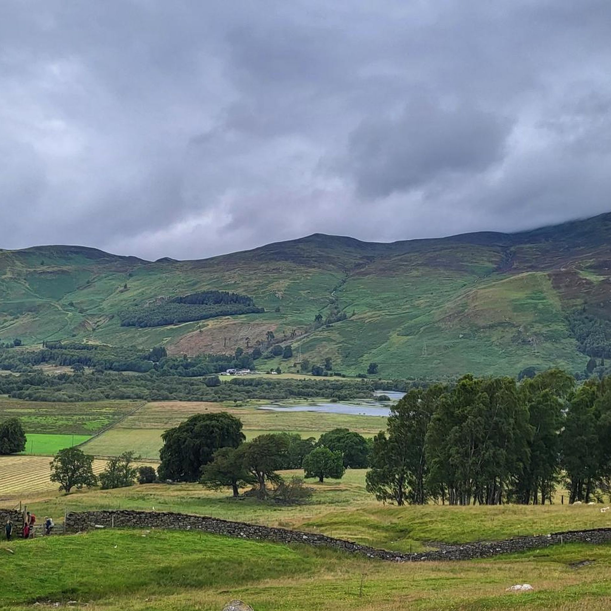
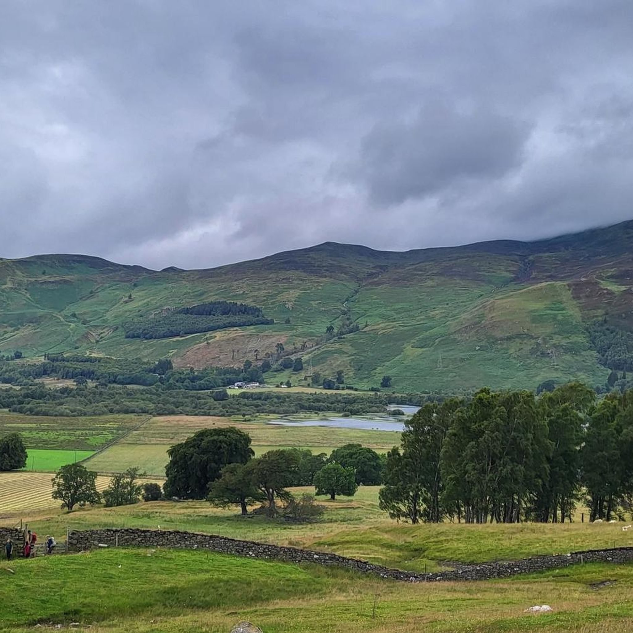
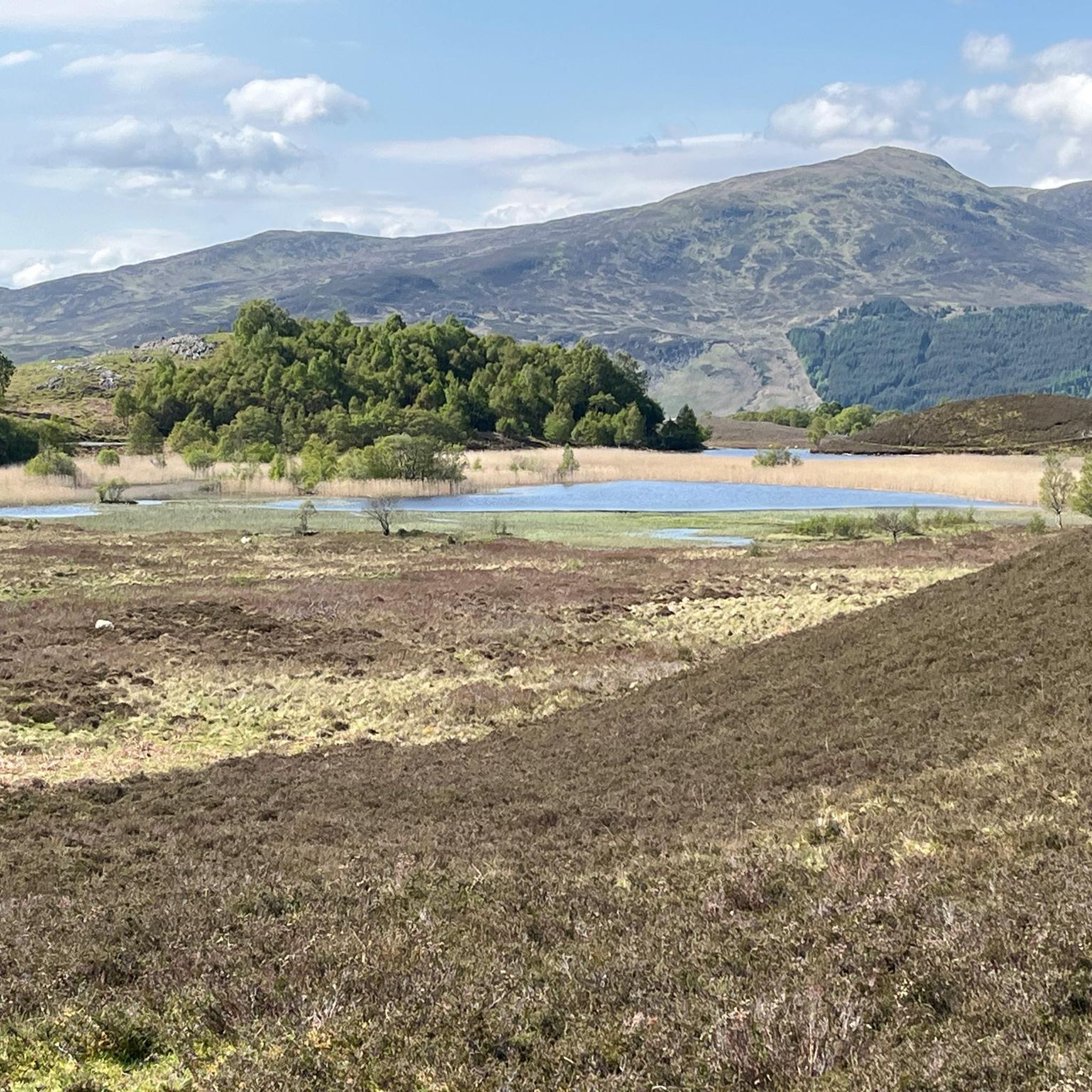
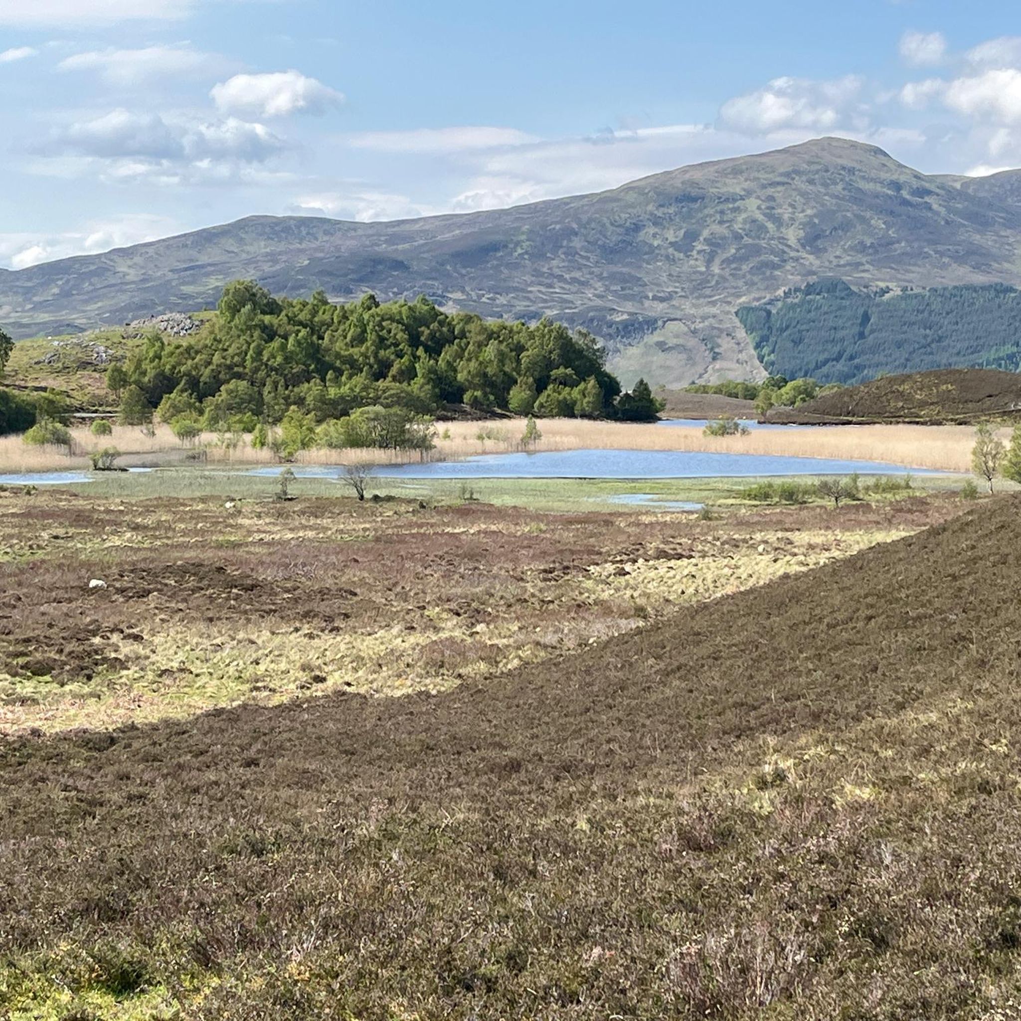
Hikes around Dunalastair Water explore the landscape of a man-made reservoir located in Perth and Kinross, Scotland. The area is situated between Loch Rannoch and Loch Tummel, with routes following the shoreline, passing through wooded glens, and ascending to viewpoints on nearby hills. The terrain offers a mix of low-level paths and moderate climbs.
Best hiking trails around Dunalastair Water
- The most popular hiking route is the Dunalastair House Ruins loop from Kinloch Rannoch, a 1.2 mile (2.0 km) trail that takes about 30 minutes to complete. This easy walk follows relatively flat paths to the historic ruins on the reservoir's edge.
- Another top favourite among local hiking enthusiasts is the Loch Rannoch & Craig Varr loop from Kinloch Rannoch, a moderate 3.8 mile (6.1 km) path. The route includes a climb to the Craig Varr viewpoint, which provides views over Loch Rannoch.
- Local hiking enthusiasts also love the River Tummel, Allt Mor waterfall & Loch Rannoch loop from Kinloch Rannoch, a 2.3 mile (3.7 km) trail leading through woodland, often completed in about 1 hour.
- Hiking around Dunalastair Water is defined by reservoir shorelines, riverside paths, and ascents to viewpoints like Craig Varr. The network of trails provides options for different fitness levels, from short, easy walks to more moderate hikes with some elevation gain.
- The routes in Dunalastair Water are highly rated by the komoot community with an average score of 4.5 stars from more than 250 reviews. More than 2,300 hikers have used komoot to explore Dunalastair Water's varied terrain.
Last updated: September 28, 2026
5.0
(1)
6
hikers
1.99km
00:33
30m
30m
Easy hike. Great for any fitness level. Easily-accessible paths. Suitable for all skill levels.
4.8
(12)
68
hikers
4.77km
01:34
220m
220m
Easy hike. Great for any fitness level. Easily-accessible paths. Suitable for all skill levels.

4.8
(14)
62
hikers
6.10km
02:00
270m
270m
Hike the 3.8-mile Loch Rannoch & Craig Varr loop from Kinloch Rannoch for panoramic views of Loch Rannoch and Schiehallion.
4.4
(5)
25
hikers
Easy hike. Great for any fitness level. Easily-accessible paths. Suitable for all skill levels.
4.8
(10)
40
hikers
4.84km
01:42
270m
270m
Easy hike. Great for any fitness level. Easily-accessible paths. Suitable for all skill levels.
Get access to more routes and recommendations from other explorers.
Already have an account?
Our route recommendations are based on thousands of hikes, rides, and runs completed by other people on komoot.
Start today with a free account
Your next adventure awaits.

Tips from the Community


All Saints in Kinloch Rannoch is a member of the Scottish Episcopal Church. It's a Gothic church from the late 1800s.
0
0
The waterfall produced as the Allt Mor burn spills down Meall Dubh is great. The crag is steppy and the pool below is very scenic. The waterfall is particularly good after snow melt or heavy rain.
0
0
A craggy outcrop above Kinloch Rannoch offering great views of the village and Loch Rannoch.
0
0
A 15km long freshwater loch that's just over 1km wide and 130m deep. Loch Rannoch was once surrounded with old Caledonian pine forest; the Black Wood of Rannoch is one of the largest remnants of this ancient wood. The roads along both sides of the loch are quiet and fine to walk on with interesting adventures to be had north, south or west. Kinloch Rannoch at the eastern end of the loch is the largest settlement with pubs and a shop for supplies.
0
0
This is the higher weir on the River Tummel near Kinloch Rannoch. It's part of the SSE hydroelectric scheme on the river.
0
0

A quiet small village with stunning scenery of hills and lochs. Great place for cycling and walking.
1
0
The east side of Rannoch loch. Nice to stop here and take it all in.
0
0
Frequently Asked Questions
Are there many circular walks around Dunalastair Water?
Yes, the area is well-suited for circular hikes. Many trails are designed as loops starting and ending in or near Kinloch Rannoch. These routes allow you to experience varied scenery, from the reservoir shoreline to woodland paths, without retracing your steps. A great example that includes a viewpoint is the Loch Rannoch & Craig Varr loop.
What are the parking options for hikes near Kinloch Rannoch?
Most hikes in the area start from the village of Kinloch Rannoch, where you can find public parking. It's recommended to arrive early, especially on weekends and during peak season, as spaces can fill up. Some trailheads for specific routes, like those exploring the Black Wood of Rannoch, may have their own small parking areas.
Are there any family-friendly or easy walks in the area?
Definitely. The region offers several gentle, low-level walks perfect for families and casual strollers. A particularly good option is the River Tummel, Allt Mor waterfall & Loch Rannoch loop, which is a relatively flat and short walk through pleasant scenery.
Can I see any waterfalls on the trails?
Yes, you can. The Allt Mor waterfall is a charming feature accessible on several routes from Kinloch Rannoch. The Allt Mor Waterfall – Craig Varr Viewpoint loop combines a visit to the waterfall with a rewarding climb to a scenic viewpoint, offering a mix of woodland and open vistas.
What kind of wildlife might I see while hiking?
Dunalastair Water is a designated Site of Special Scientific Interest, rich in wildlife. Keep an eye out for ospreys fishing in the summer and whooper swans in the winter. The surrounding Tay Forest Park is home to red deer, roe deer, and red squirrels. If you're very lucky, you might even spot an elusive pine marten or a capercaillie in the ancient woodlands.
Are the trails around Dunalastair Water dog-friendly?
Yes, dogs are generally welcome on the trails. However, this is an area with active farming and significant wildlife. You should keep your dog on a lead, especially near livestock and during bird breeding season (typically April to July), to protect the local fauna and avoid disturbing farm animals.
What is the best time of year to hike around Dunalastair Water?
Hiking is possible year-round, but each season offers a different experience. Spring and summer bring lush greenery and active wildlife. Autumn is spectacular, with the woodlands displaying vibrant colours. Winter can be beautiful with snow-capped hills, but be prepared for colder, wetter conditions and shorter daylight hours. Be aware that midges can be prevalent from late spring to early autumn, so it's wise to carry insect repellent.
Are there any historical sites to see on the walks?
Yes, the most prominent historical feature is the Dunalastair House Ruins. These atmospheric ruins are located on the edge of the reservoir and can be easily reached on the short and accessible Dunalastair House Ruins loop from Kinloch Rannoch. The area is also linked to the history of Clan Gregor.
What do other hikers say about the trails in this area?
The trails around Dunalastair Water are highly regarded by the komoot community, with an average rating of 4.5 stars. Hikers often praise the stunning reflections on the reservoir, the well-maintained paths through the ancient Caledonian Forest, and the panoramic views from vantage points like Craig Varr.
How many hiking trails are available around Dunalastair Water?
There are over 35 curated hiking routes in the area. These range from 19 easy walks suitable for all fitness levels to more demanding difficult hikes, ensuring there's a trail for every type of hiker looking to explore the region.
Are there any good viewpoints to hike to?
Yes, for fantastic views over Loch Rannoch and the surrounding landscape, the hike to the Craig Varr viewpoint is highly recommended. The Allt Mor Waterfall – View of Loch Rannoch loop is a moderate trail that leads you up to this rewarding spot.
Are there any public toilets or cafes in Kinloch Rannoch?
Yes, Kinloch Rannoch serves as the main hub for the area and provides visitor facilities. You can find public toilets in the village, as well as cafes and a local shop where you can get refreshments before or after your hike.
Most popular routes around Dunalastair Water

Get inspired with the komoot mobile app


Explore more
Browse the best Hikes in other regions.
