The best cycling routes around Kirk Dam
4.8
(30)
623
riders
19
rides
Touring cycling routes around Kirk Dam traverse a landscape characterized by diverse natural features, including gleaming waterfronts, wooded areas, and varied terrain. The region offers a mix of routes along lake shorelines and through forests, providing scenic views. Elevations range from gentle gradients to more significant climbs, catering to different cycling preferences.
Best touring cycling routes around Kirk Dam
- The most popular touring cycling route is Rothesay Castle – Rothesay Harbour loop from Rothesay, a 7.8 miles (12.6 km)…
Last updated: May 11, 2026
4.5
(2)
43
riders
28.2km
01:43
220m
220m
Embark on the Bute Cycle Network Trail, a moderate touring cycling route that spans 17.5 miles (28.2 km) and includes a total elevation gain of 730 feet (223 metres). You…
5.0
(1)
68
riders
83.2km
04:36
550m
550m
Hard bike ride. Very good fitness required. Mostly paved surfaces. Suitable for all skill levels.

Sign up for free
4.5
(2)
53
riders
27.5km
01:43
260m
260m
Moderate bike ride. Good fitness required. Mostly paved surfaces. Suitable for all skill levels.
4.7
(3)
47
riders
29.4km
01:47
230m
230m
Moderate bike ride. Good fitness required. Mostly paved surfaces. Suitable for all skill levels.
4.5
(2)
21
riders
17.9km
01:08
150m
150m
Easy bike ride. Great for any fitness level. Mostly paved surfaces. Suitable for all skill levels.
Get access to more routes and recommendations from other explorers.
Sign up for free
Already have an account?
Our route recommendations are based on thousands of hikes, rides, and runs completed by other people on komoot.
Start today with a free account
Your next adventure awaits.
Login or Signup
Tips from the Community

The CLOCH lighthouse was designed by Thomas Smith and his son-in-law Robert Stevenson, who is famous for the Bell Rock Lighthouse off Angus and was the grandfather of the author Robert Louis Stevenson. The oil lamp was first lit on 11 August 1797. The lighthouse is now unmanned and fully automated, with an optical light mounted on a mast. The former lighthouse keepers' houses have been converted into three private dwellings.
0
0

Gorgeous little lighthouse between Lunderston Bay and Greenock, along National Cycle Route. It's a shared pavement section here, which can be a bit narrow in places and often has cars parked on it, stay awake!
0
0

Beautiful coastal road but rife with potholes. Worth having a decent set of tires to enjoy it fully.
0
0

These should be on the OpenStreetMaps already but this one isn't, and the Scottish Water website says it's on the Square but it isn't. It's on the coastal side of the road next to the zebra crossing and the pedestrian entrance to the ferry terminal. Edit: They've now updated the map to show the location https://www.yourwateryourlife.co.uk/location/rothesay/
0
0

Cloch Lighthouse overlooks the River Clyde estuary. Looking across the water you can see Dunoon from this location. The lighthouse is a big structure that can be seen from numerous surrounding locations
0
0

Situated directly opposite Dunoon. Designed by Thomas Smith, with Stevenson, and built in 1797. Was automated around 1990’s.
0
0

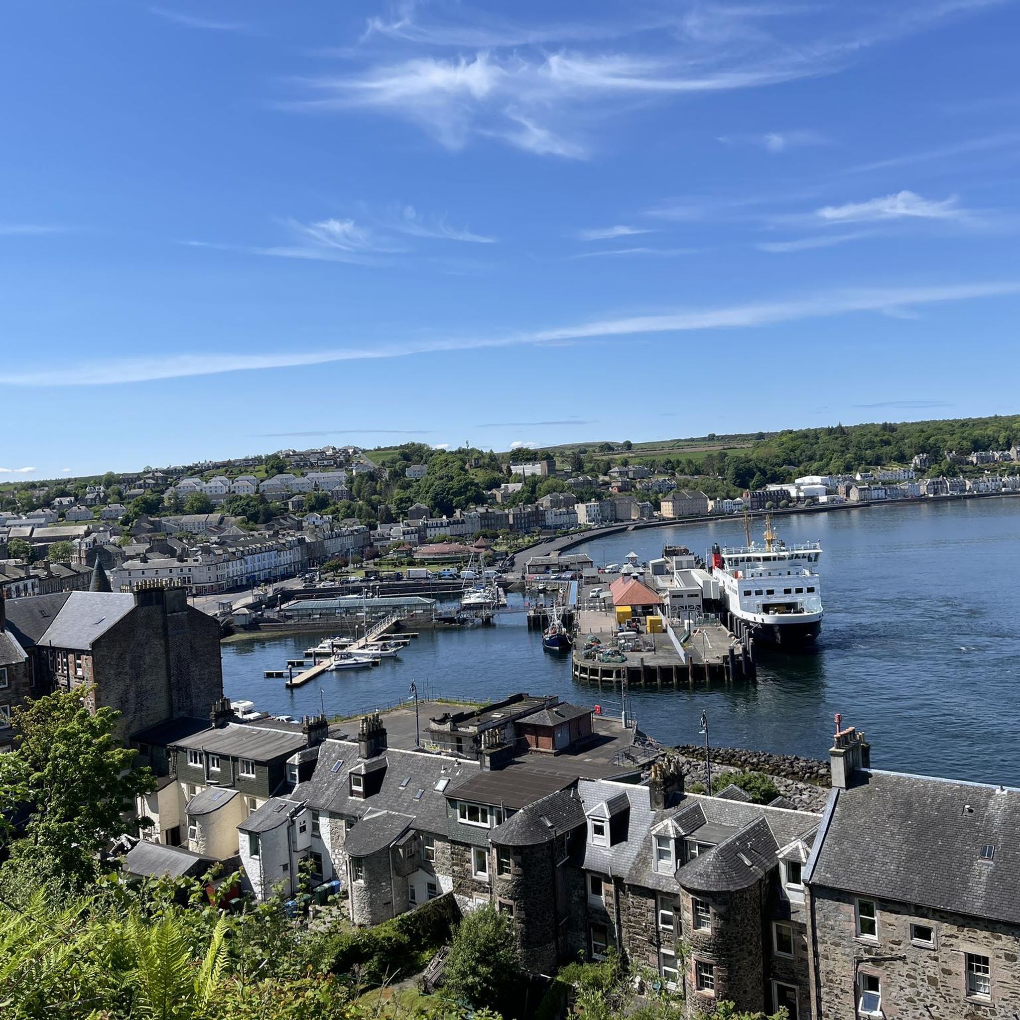
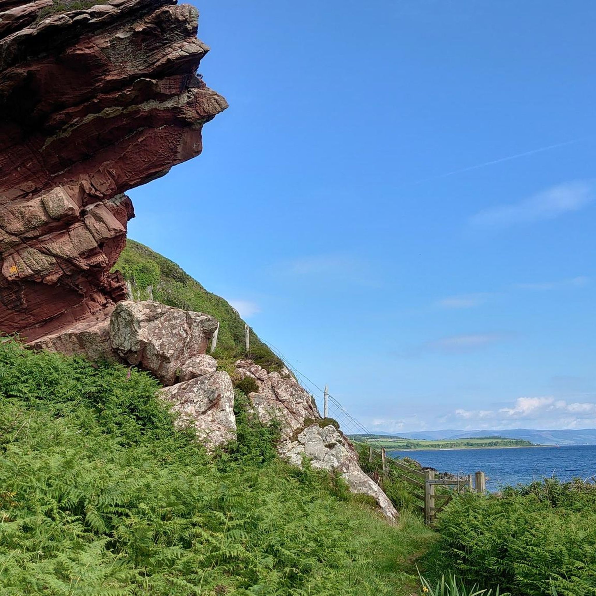
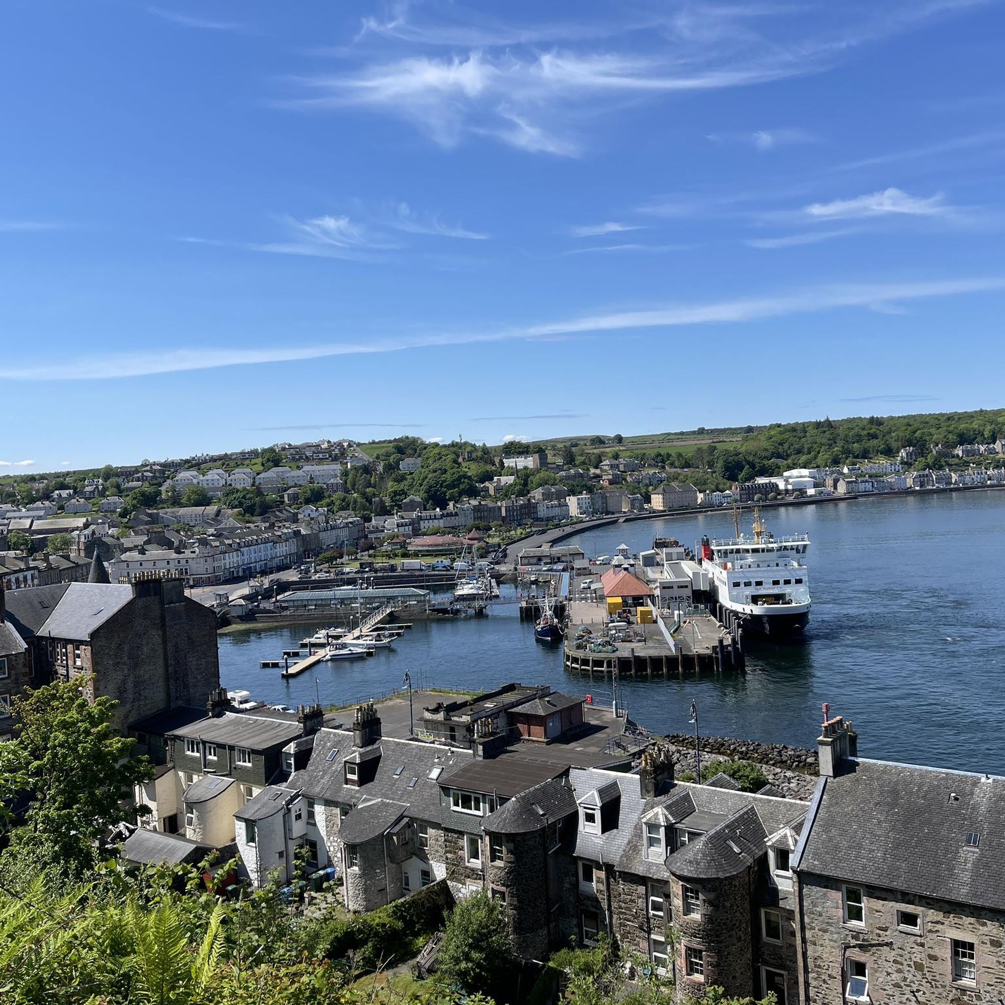
Please check the map and picture. Arran is on the West side of the Isle of Bute, and what is between the islands is called Sound of Bute. The Firth of Clyde is on the East side where I supposed you crossed by the ferry to Rothesay;) you had a great weather for cycling. Arran, and Inchmarnock looks great any moment, any time. I’m located on Bute so you can check some my rides around the rock. Maybe see you on Bute✋
0
0

The Cloch Lighthouse, created in 1797 by Thomas Smith and Robert Stevenson, features a round tower with triangular windows and added foghorns. Back then, the light's lenses floated in mercury and were turned by hand. Today, it's automated.
0
0
Frequently Asked Questions
How many touring cycling routes are available around Kirk Dam?
There are over 15 touring cycling routes around Kirk Dam, offering a variety of experiences. These include 9 easy routes, 8 moderate routes, and 2 more challenging options, catering to different skill levels.
What kind of terrain can I expect on touring cycling routes in Kirk Dam?
The terrain around Kirk Dam is quite diverse, featuring gleaming waterfronts, wooded areas, and varied landscapes. You can expect routes along lake shorelines, through forests, and some with significant elevation gains, similar to areas with mountain and forest views. Some routes might even offer gravel sections through quiet roads, farmlands, and riverside stretches.
Are there easy touring cycling routes suitable for beginners or families in Kirk Dam?
Yes, Kirk Dam offers 9 easy touring cycling routes perfect for beginners or families. A great option is the Rothesay Castle – Rothesay Harbour loop from Rothesay, which is 7.8 miles (12.6 km) long and offers scenic views of the historic castle and bustling harbour.
Can I find more challenging touring cycling routes in Kirk Dam?
Absolutely. For those seeking a challenge, Kirk Dam has 2 difficult touring cycling routes. One notable option is the Cloch Lighthouse – Lunderston Bay loop from Rothesay, a substantial 52.0 miles (83.7 km) trail that leads through coastal areas and past significant landmarks, typically taking around 4 hours 40 minutes to complete.
Are there any circular touring cycling routes around Kirk Dam?
Many of the touring cycling routes around Kirk Dam are designed as loops, allowing you to start and finish in the same location. For example, the easy Rothesay Castle – Rothesay Harbour loop from Rothesay and the moderate Scalpsie Viewing Platform – Rothesay Castle loop from Rothesay are both excellent circular options.
What are some scenic viewpoints or natural features I might encounter while cycling?
Touring cycling around Kirk Dam offers numerous scenic opportunities. You can expect gleaming waterfronts, wooded dunes, and high bluffs offering spectacular views of large bodies of water. Some routes might pass through lush pine forests, open meadows, and provide panoramic vistas of distant mountain ranges and valleys, reminiscent of areas with significant natural beauty.
What do other cyclists say about touring cycling in Kirk Dam?
The touring cycling routes in Kirk Dam are highly rated by the komoot community, with an impressive average score of 4.8 stars from more than 20 reviews. Over 600 touring cyclists have explored the area using komoot, often praising the diverse island scenery, from coastal stretches to inland landscapes, and the variety of routes available for different abilities.
Is Kirk Dam suitable for dog-friendly touring cycling?
While specific dog-friendly routes aren't explicitly detailed, many natural areas and trails around Kirk Dam, especially those through forests and along less crowded paths, are generally suitable for cycling with well-behaved dogs on a leash. Always check local regulations and be mindful of other trail users and wildlife.
What is the best time of year to go touring cycling in Kirk Dam?
The best time for touring cycling in Kirk Dam is typically during spring, summer, and early autumn. These seasons offer pleasant weather for enjoying the waterfronts, forests, and varied terrain. Spring can bring snow-capped peaks in the distance, while autumn showcases vibrant fall colors, enhancing the scenic beauty of the routes.
What are the parking options for touring cyclists in Kirk Dam?
Parking availability for touring cyclists in Kirk Dam varies by route starting point. Many popular trailheads or town centers, such as Rothesay, often provide designated parking areas. It's advisable to check specific route details or local signage for the most convenient parking options before you set out.
Can I access touring cycling routes in Kirk Dam using public transport?
Access to touring cycling routes via public transport in Kirk Dam depends on the specific location. Larger towns like Rothesay, which serve as starting points for several routes, typically have public transport links. Some routes, like the Bute Cycle Network Trail, might be accessible from points served by local buses or ferries, allowing for car-free exploration.
Are there places to eat or stay along the touring cycling routes?
Yes, especially in and around the main towns and villages that serve as hubs for the touring cycling routes. You can often find cafes, pubs, and various accommodation options. For instance, routes starting or passing through Rothesay will offer amenities for refreshments and overnight stays, allowing you to refuel and relax after your ride.
How long do touring cycling routes in Kirk Dam typically take to complete?
The duration of touring cycling routes in Kirk Dam varies significantly based on distance and difficulty. Easy routes, like the 7.8-mile Rothesay Castle – Rothesay Harbour loop, can take under an hour. Moderate routes, such as the 17.5-mile Bute Cycle Network Trail, might take around 2-3 hours, while difficult routes can extend to 4 hours or more, like the 52.0-mile Cloch Lighthouse – Lunderston Bay loop.

Get inspired with the komoot mobile app


Explore more
Browse the best Cycling routes in other regions.
