The best cycling routes around Martnaham Loch
4.4
(55)
1,072
riders
89
rides
Touring cycling around Martnaham Loch offers routes that navigate the freshwater loch and its surrounding natural environment. The region is characterized by its lochside paths, areas of woodland, and gently rolling terrain, providing varied cycling experiences. Elevation gains are generally moderate, with some routes featuring more significant climbs. The landscape provides a mix of open views across the water and sheltered sections through forested areas.
Best touring cycling routes around Martnaham Loch
- The most popular touring cycling route is View…
Last updated: June 26, 2026
5.0
(2)
44
riders
71.6km
04:48
1,130m
1,130m
Hard bike ride. Very good fitness required. Mostly paved surfaces. Suitable for all skill levels.
5.0
(1)
3
riders
20.8km
01:20
200m
200m
Moderate bike ride. Good fitness required. Mostly paved surfaces. Suitable for all skill levels.

Sign up for free
5.0
(2)
92
riders
25.1km
01:29
130m
130m
Easy bike ride. Great for any fitness level. Mostly paved surfaces. Suitable for all skill levels.
18
riders
43.6km
02:49
340m
340m
Moderate bike ride. Good fitness required. Mostly paved surfaces. Suitable for all skill levels.
5.0
(1)
5
riders
16.6km
01:04
190m
190m
Moderate bike ride. Good fitness required. Mostly paved surfaces. Suitable for all skill levels.
Get access to more routes and recommendations from other explorers.
Sign up for free
Already have an account?
Our route recommendations are based on thousands of hikes, rides, and runs completed by other people on komoot.
Start today with a free account
Your next adventure awaits.
Login or Signup

Tips from the Community

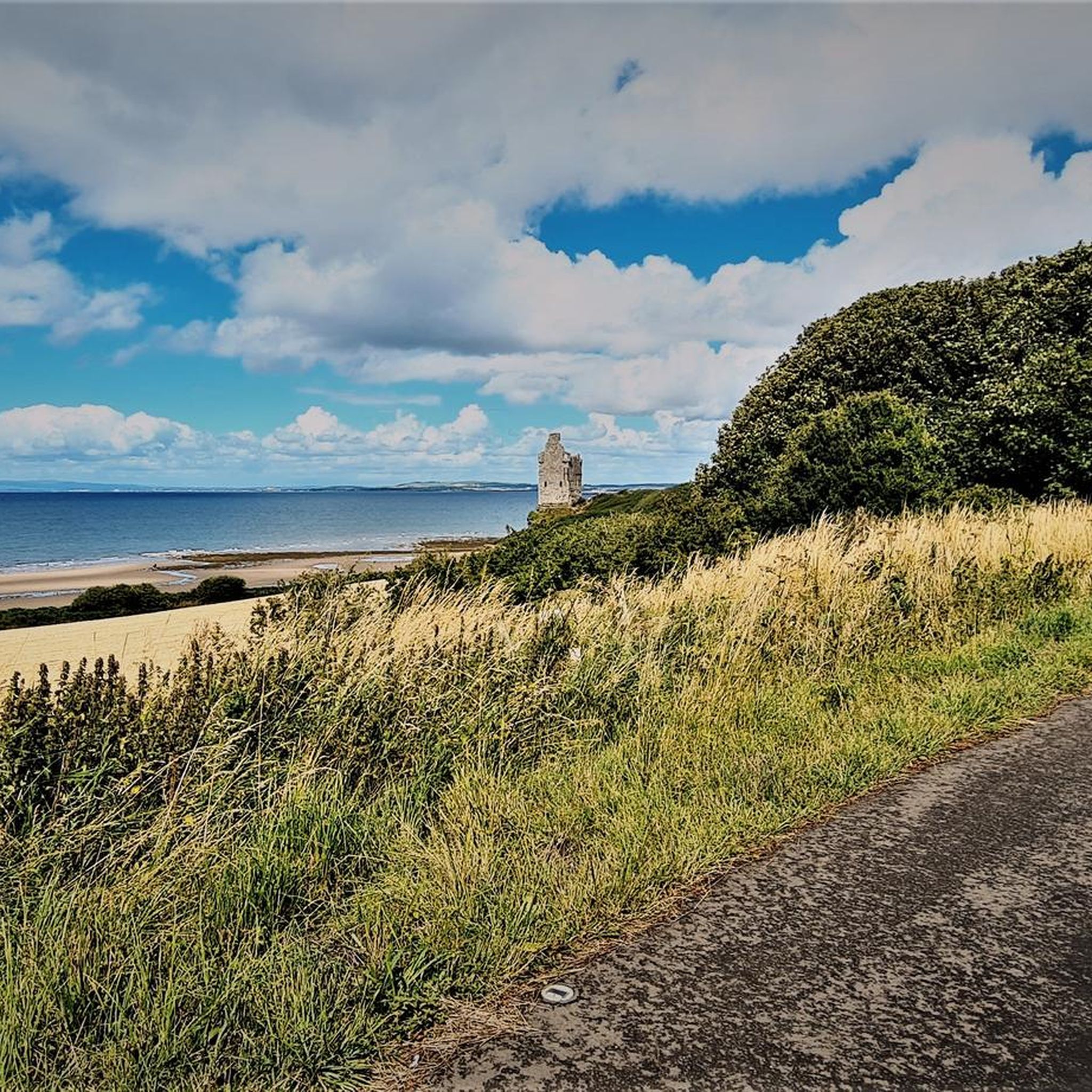
Car park at Straiton fills up early, if it's full perhaps drive on a little around the route to the Tairlow Picnic Site Parking at https://maps.app.goo.gl/9ia3cS9Am5taWWpC8 and looks like https://maps.app.goo.gl/rGN1sydaJmkzhJdg7 on streetview.
0
0
If car park by playground in Straiton is full, this might be a good alternative. https://maps.app.goo.gl/obAdiFvWLmSctVFc7
0
0

Great bridge, but it is a bit difficult to take good photos
0
0

Good place for a coffee and a bite to eat. Nice walks nearby and open every day 10am -5pm. Lots of Burns related things to see and do
0
0

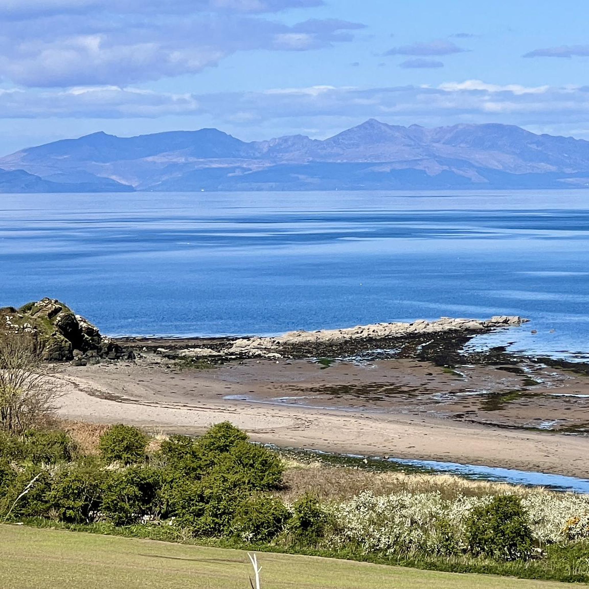
Ayr Beach boasts a wide expanse of golden sand. It stretches along the Firth of Clyde and faces the Isle of Arran. The beach offers spectacular sunset views, making it a particularly attractive spot in the evening.
0
0

Traffic free route from Alloway out to the coast and back towards Ayr
0
0
Traffic free tunnel on cycle route out to the coast
0
0
Frequently Asked Questions
How many touring cycling routes are available around Martnaham Loch?
There are over 90 touring cycling routes around Martnaham Loch, offering a wide range of options for different skill levels. You'll find everything from easy, short loops to more challenging, longer rides with significant elevation.
Are there family-friendly cycling routes suitable for beginners around Martnaham Loch?
Yes, Martnaham Loch offers several easy routes perfect for families and beginners. An excellent option is the View of Brig o' Doon – Millennium Bridge loop from Ayr Station, which is 15.6 miles (25.06 km) and features scenic bridges with gentle terrain.
What is the best time of year to go touring cycling in Martnaham Loch?
The best time for touring cycling around Martnaham Loch is typically from late spring to early autumn (May to September). During these months, the weather is generally milder, and the paths are less likely to be muddy, offering more comfortable riding conditions.
What kind of terrain can I expect on the cycling routes around Martnaham Loch?
The routes around Martnaham Loch feature a mix of lochside paths, sections through woodlands, and gently rolling hills. While many routes are moderate, some, like the View of Pinbreck Hill – Wild Camping Spot Near Stream loop from Dalrymple, include significant elevation gains, providing varied challenges and scenic views.
Are there any circular cycling routes around Martnaham Loch?
Yes, many of the touring cycling routes around Martnaham Loch are designed as loops. For example, the Dyrock Wood loop from Dalrymple is a moderate 12.9-mile (20.81 km) path that takes you through beautiful woodland areas, returning to your starting point.
Where can I find parking for cycling routes near Martnaham Loch?
Parking availability varies by starting point. Many routes begin from towns like Dalrymple or Ayr, where public parking is generally available. It's advisable to check specific route details on komoot for recommended parking spots near your chosen starting point.
Can I reach the Martnaham Loch cycling trails using public transport?
Yes, some routes are accessible via public transport. For instance, the View of Brig o' Doon – Millennium Bridge loop from Ayr Station starts directly from Ayr Station, making it convenient for those traveling by train.
What should I pack for a touring cycling trip around Martnaham Loch?
Given the varied Scottish weather, it's wise to pack layers, waterproof outerwear, and essential bike repair tools. Don't forget water, snacks, a helmet, and a fully charged phone. For longer rides, consider navigation tools and a first-aid kit.
Are there places to eat or drink near the cycling routes?
While Martnaham Loch itself is a natural area, routes often pass through or near towns like Ayr and Dalrymple, where you can find cafes, pubs, and shops to refuel. Some pubs in these areas may offer outdoor seating, perfect for a post-ride refreshment.
What do other touring cyclists say about the routes around Martnaham Loch?
The touring cycling routes around Martnaham Loch are highly regarded by the komoot community, with an average rating of 4.4 stars from over 50 reviews. Cyclists often praise the diverse scenery, from tranquil lochside paths to sheltered woodland trails, and the variety of routes suitable for different abilities.
Are there any other notable routes besides the most popular ones?
Beyond the most popular, you might enjoy the Millennium Bridge – View of the River Ayr loop from Drongan, a moderate 43.4-mile (69.8 km) route offering scenic views along the River Ayr. Another good option is the Belston Loch loop from Drongan, a moderate 16.6-mile (26.7 km) ride.
What kind of wildlife can I expect to see while cycling around Martnaham Loch?
Martnaham Loch is a designated Site of Special Scientific Interest (SSSI), known for its diverse birdlife, including various waterfowl and woodland birds. Keep an eye out for red squirrels in forested areas and potentially deer in quieter spots, especially during dawn or dusk.
Most popular routes around Martnaham Loch

Get inspired with the komoot mobile app


Explore more
Browse the best Cycling routes in other regions.
