The best road cycling routes around Meikle Loch
4.4
(6)
529
riders
74
rides
Road cycling routes around Meikle Loch offer a blend of coastal and estuarial scenery within Aberdeenshire, Scotland. The region features quiet, paved roads that traverse rolling countryside, providing access to the Forvie National Nature Reserve and the Ythan Estuary. Elevations generally range from sea level up to 104 meters, offering varied terrain suitable for road cycling. The area is characterized by sand dunes, coastal heathland, and the tranquil waters of Meikle Loch itself.
Best road cycling routes around Meikle Loch
…Last updated: May 28, 2026
3
riders
69.5km
02:55
460m
460m
Moderate road ride. Good fitness required. Some segments of this route may be unpaved and difficult to ride.
3
riders
88.0km
03:49
650m
650m
Moderate road ride. Good fitness required. Mostly well-paved surfaces and easy to ride.

Sign up for free
3
riders
43.2km
01:55
420m
420m
Moderate road ride. Good fitness required. Mostly well-paved surfaces and easy to ride.
17
riders
39.0km
01:37
240m
240m
Easy road ride. Great for any fitness level. Mostly well-paved surfaces and easy to ride.
11
riders
30.9km
01:16
180m
180m
Easy road ride. Great for any fitness level. Mostly well-paved surfaces and easy to ride.
Get access to more routes and recommendations from other explorers.
Sign up for free
Already have an account?
Our route recommendations are based on thousands of hikes, rides, and runs completed by other people on komoot.
Start today with a free account
Your next adventure awaits.
Login or Signup
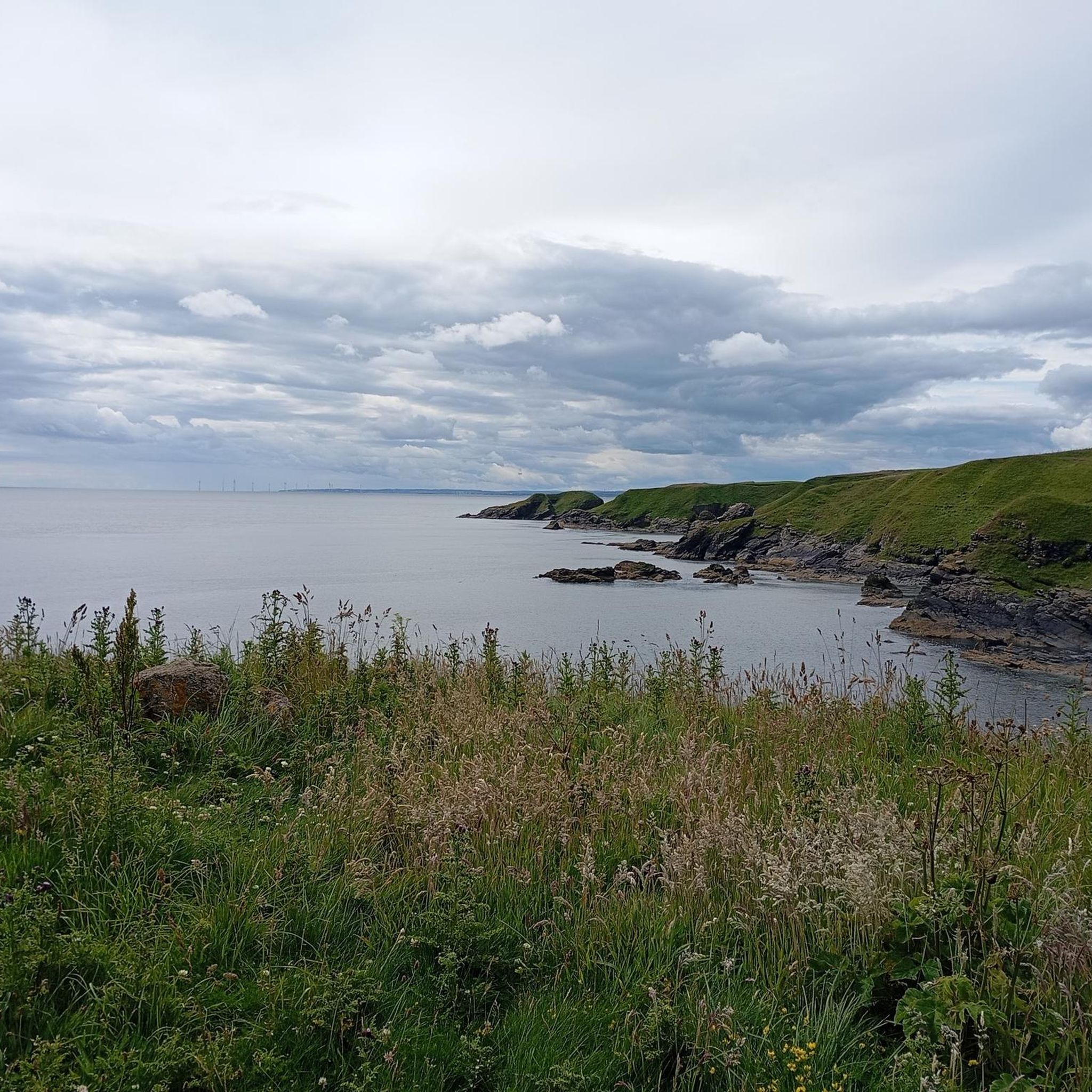
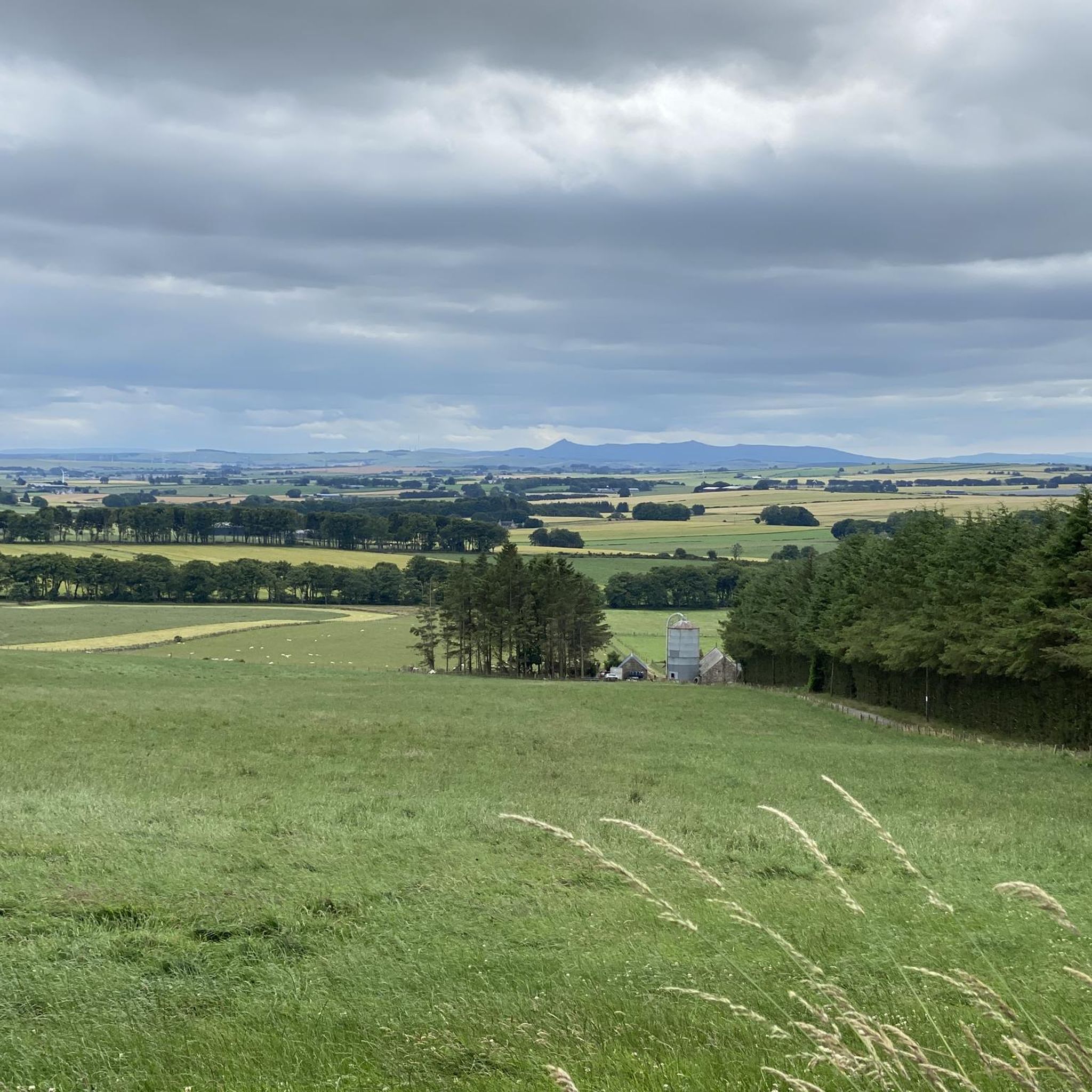
Tips from the Community

Very good coffee and a fantastic selection of cakes! trelliscoffeeshop.com
0
0

Maud, formerly known as Brucklay is a quaint village that once served as a crucial junction for the Fraserburgh and Peterhead railway lines. The station, a lasting testament to its historical significance, now houses the Formartine & Buchan Railway Museum. Note that the museum operates seasonally during the summer, so it's advisable to check the opening times before planning your visit.
0
0
Opened on July 18, 1861, by the Formartine and Buchan Railway, Udny Station featured a station building on the southbound platform and a goods yard on the east side, complete with a goods shed. Udny Station closed its doors on October 4, 1965 and today stands as a point of interest on the hiking and cycling route of the Formartine and Buchan Trail.
0
0

Balmedie Beach is a flat sandy beach with sand dunes to the rear. The beach is part of a 15-mile dune system of local and national importance.
0
0
Balmedie Beach is a flat sandy beach located in Aberdeenshire, Scotland. It’s known for its beautiful sand dunes that lie to the rear of the beach. The beach is located only 5 miles from Aberdeen and you can walk either north or south for several miles. Access to the beach is via the car park along boardwalks, through the dunes. Facilities at the beach include a ranger centre, toilets, and shops. Balmedie Beach is a great place to enjoy the natural beauty of Scotland’s coastline.
0
0
In the 19th century, Collieston was a busy fishing village with an excellent natural harbour. To improve the safety for boats, breakwaters were constructed. This caused the harbour to fill with wonderful golden sand, creating the idyllic sheltered beach of today. The sandy beach is perfect for families and children. The nearby ‘Smugglers Cone’ shop serves delicious ice cream, drinks, and snacks. The beach is also dog-friendly.
0
0
The church stands within 300 yards of the shore and was built at the beginning of the nineteenth century. It accommodates 654 persons with sittings. The church records contain a variety of documents which detail many aspects of the daily lives of all types of people throughout Scotland from the 16th century onwards.
0
0

Deer Abbey is just of the Formartine and Buchan way and well worth stopping by. Maintained by Historic Scotland and free entry, the ruins are interesting to explore. Is it said this was once the home of the book of deer, the oldest know Gaelic writing.
0
0
Frequently Asked Questions
How many road cycling routes are available around Meikle Loch?
There are over 70 road cycling routes available around Meikle Loch, offering a diverse range of options for different skill levels. The komoot community has explored these routes over 500 times.
What kind of terrain can I expect on road cycling routes near Meikle Loch?
The terrain around Meikle Loch is characterized by quiet, paved country roads and rolling countryside. Elevations generally range from sea level up to 104 meters, providing a mix of easy coastal paths and more challenging inland routes. You'll encounter coastal heathland, sand dunes, and views of the Ythan Estuary.
When is the best time of year for road cycling around Meikle Loch?
The best time for road cycling around Meikle Loch is typically during the warmer, drier months to enjoy the coastal and estuarial scenery. However, the area offers unique wildlife viewing opportunities in colder months, such as thousands of pink-footed geese. Always check local weather conditions, especially for wind, as coastal areas can be exposed.
Are there road cycling routes suitable for families or beginners near Meikle Loch?
Yes, there are several easy routes suitable for families and beginners. For instance, the Trellis Café – The Coffee Apothecary loop from Newburgh is an easy 14.1-mile (22.8 km) path offering views of the Ythan Estuary and coastal areas. Many routes feature quiet country roads, making them pleasant for less experienced cyclists.
What natural attractions can I see while road cycling near Meikle Loch?
Road cycling routes often provide views of the Forvie National Nature Reserve, known for its dramatic sand dunes and coastal heathland. You can also enjoy the expansive Ythan Estuary, where it meets the North Sea. Meikle Loch itself is an internationally important site for birdlife, offering opportunities for wildlife observation, especially during migration seasons.
Are there any historical sites or landmarks accessible by road bike around Meikle Loch?
Yes, the region holds historical significance. The Slains Kirk and Cemetery – Slains Castle Ruins loop from Newburgh, for example, leads through coastal landscapes and past historical sites. Within the Forvie National Nature Reserve, you can find the ruins of the old church of Forvie, a village buried by shifting dunes in the 16th century. Nearby Collieston, a former fishing village, also offers an idyllic sandy beach.
What do other road cyclists enjoy most about the routes around Meikle Loch?
The road cycling routes around Meikle Loch are highly rated by the komoot community, with an average score of 4.4 stars. Cyclists frequently praise the blend of serene coastal and estuarial views, the quiet country roads, and the varied terrain that caters to different ability levels.
Where can I find parking for road cycling near Meikle Loch or Newburgh?
Parking is generally available in and around Newburgh, which serves as a common starting point for many routes. For routes closer to the Forvie National Nature Reserve, there are designated parking areas, though it's advisable to check specific access points for the reserve itself.
Is public transport available to Meikle Loch or Newburgh for cyclists?
Public transport options, such as bus services, connect Newburgh to larger towns in Aberdeenshire. For specific routes like the X63 Stagecoach Bluebird bus, it's recommended to check their bike policy in advance, as space for bicycles can be limited or require booking.
Are there cafes or pubs along the road cycling routes near Meikle Loch?
Yes, Newburgh offers several amenities including cafes and pubs that are convenient for cyclists. Routes like the The Coffee Apothecary loop from Newburgh are named after local establishments, indicating places where you can stop for refreshments.
What are the typical road surface conditions like for cycling around Meikle Loch?
The roads in the Meikle Loch area are largely paved, providing a suitable surface for road cycling. While most country roads are well-maintained, cyclists should always be mindful of typical rural road conditions, which may include occasional potholes or debris.
Are there any longer, more challenging road cycling routes in the area?
For those seeking a longer and more challenging ride, the Llamas Near Newmachar – Scoutbog Junction loop from Collieston is a moderate 52.9-mile (85.1 km) trail with over 600 meters of elevation gain, exploring the inland countryside with moderate gradients.
Most popular routes around Meikle Loch

Get inspired with the komoot mobile app


Explore more
Browse the best Road cycling routes in other regions.
