The best walks and hikes around Calberlah
4.6
(4290)
21,251
hikers
95
hikes
Hiking around Calberlah offers diverse landscapes for outdoor enthusiasts, situated on the edge of the Drömling Nature Park. The region is characterized by green meadows, charming villages, and fields, alongside a network of canals, heathlands, and recreational lakes. Dense forests like the Elmwald and natural reserves such as Ilkerbruch provide varied terrain for exploration.
Best hiking trails around Calberlah
- The most popular hiking route is Aller Canal – Tankumsee Beach loop from Samtgemeinde Isenbüttel, a 5.5 miles (8.9 km)…
Last updated: July 10, 2026
4.7
(18)
60
hikers
8.86km
02:14
20m
20m
Moderate hike. Good fitness required. Easily-accessible paths. Suitable for all skill levels.
4.5
(11)
54
hikers
Moderate hike. Good fitness required. Easily-accessible paths. Suitable for all skill levels.

Sign up for free
4.5
(11)
51
hikers
Easy hike. Great for any fitness level. Easily-accessible paths. Suitable for all skill levels.
5.0
(14)
30
hikers
Moderate hike. Good fitness required. Easily-accessible paths. Suitable for all skill levels.
4.5
(8)
33
hikers
Moderate hike. Good fitness required. Easily-accessible paths. Suitable for all skill levels.
Get access to more routes and recommendations from other explorers.
Sign up for free
Already have an account?
Our route recommendations are based on thousands of hikes, rides, and runs completed by other people on komoot.
Start today with a free account
Your next adventure awaits.
Login or Signup

Tips from the Community

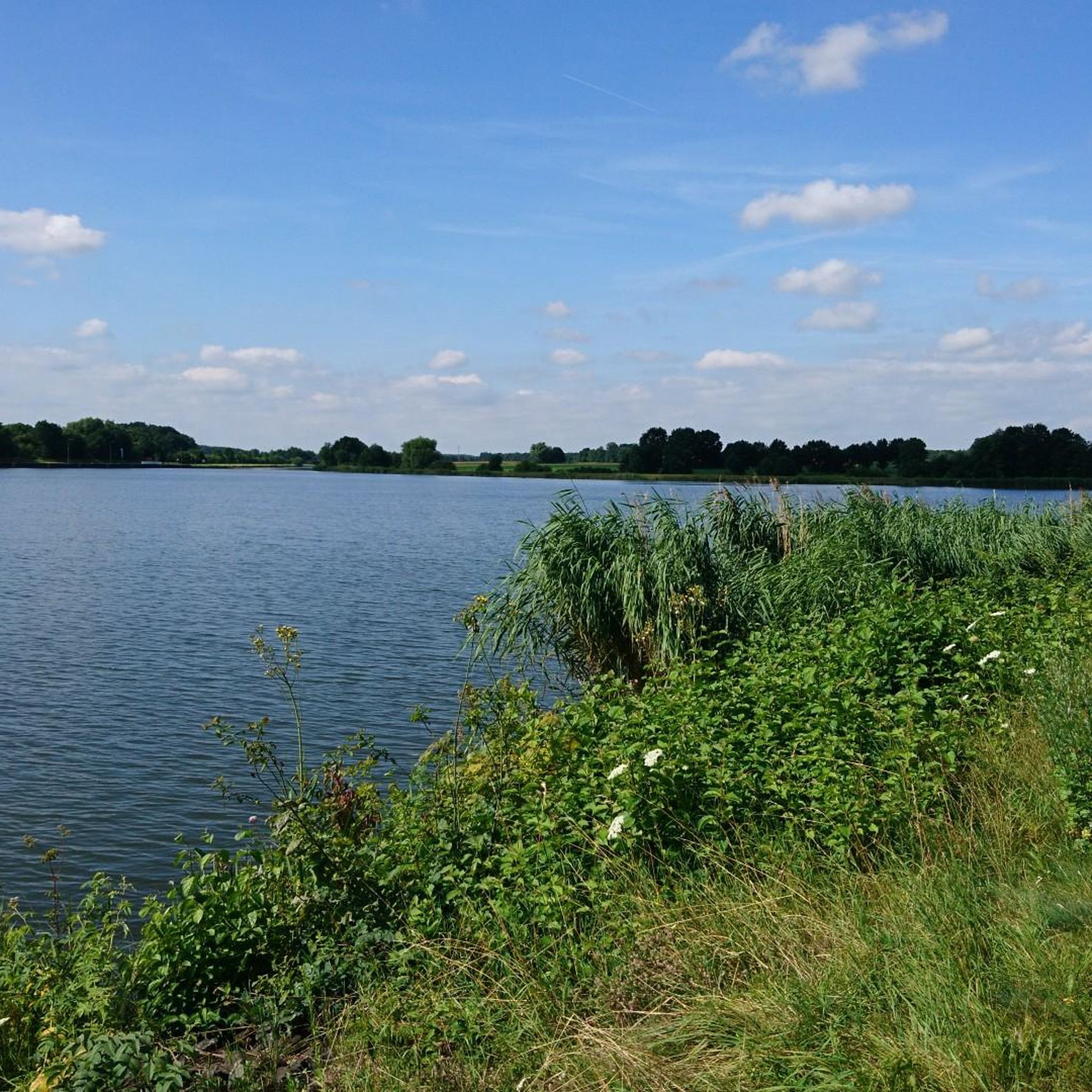
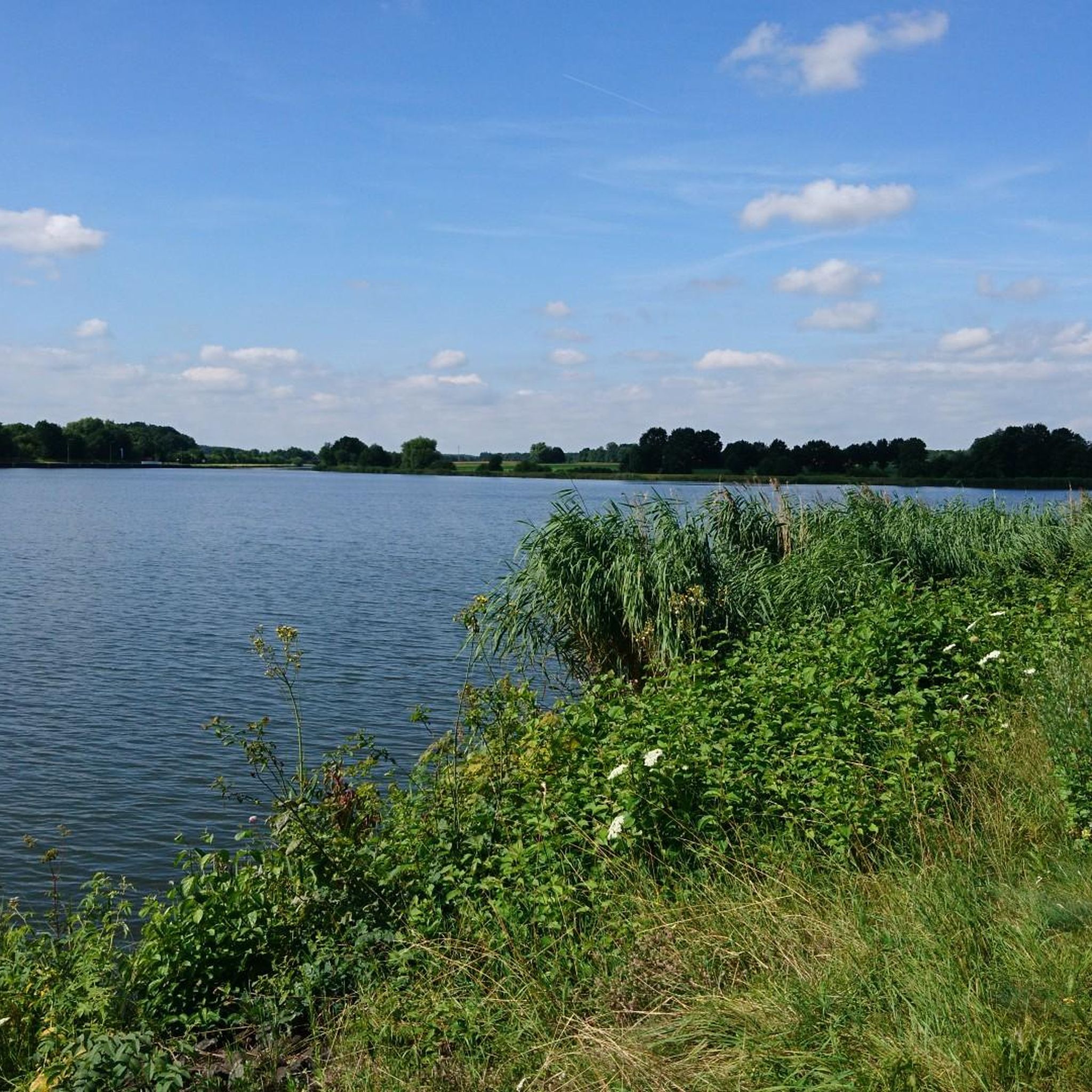
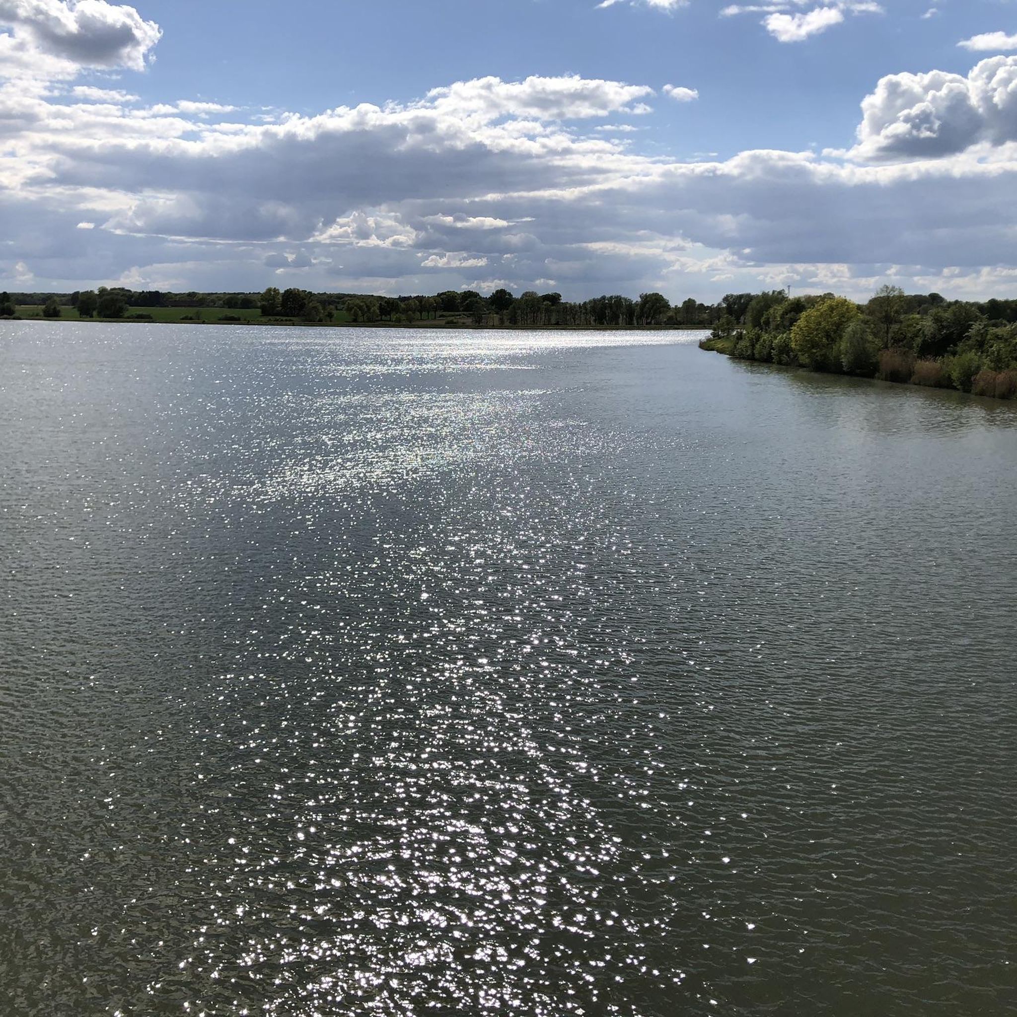
The Elbe-Seitenkanal at Tankumsee is really good for a short break in nature. Right next to it is the beautiful combination of waterway and recreational area – perfect for walking, cycling, or simply switching off. The canal appears calm, but ships still pass by regularly, giving it a special "industry in nature" charm.
0
0

From Calberlah, a good cycle path leads to the bridge, but I prefer to avoid the cycle path on the bridge and ride on the road.
0
0
The Elbe-Seitenkanal (ESK) is one of the most important artificial waterways in northern Germany. It connects the Elbe (near Artlenburg/Lauenburg) with the Mittellandkanal (near Wolfsburg) and primarily serves as a reliable hinterland connection for the port of Hamburg.
0
0
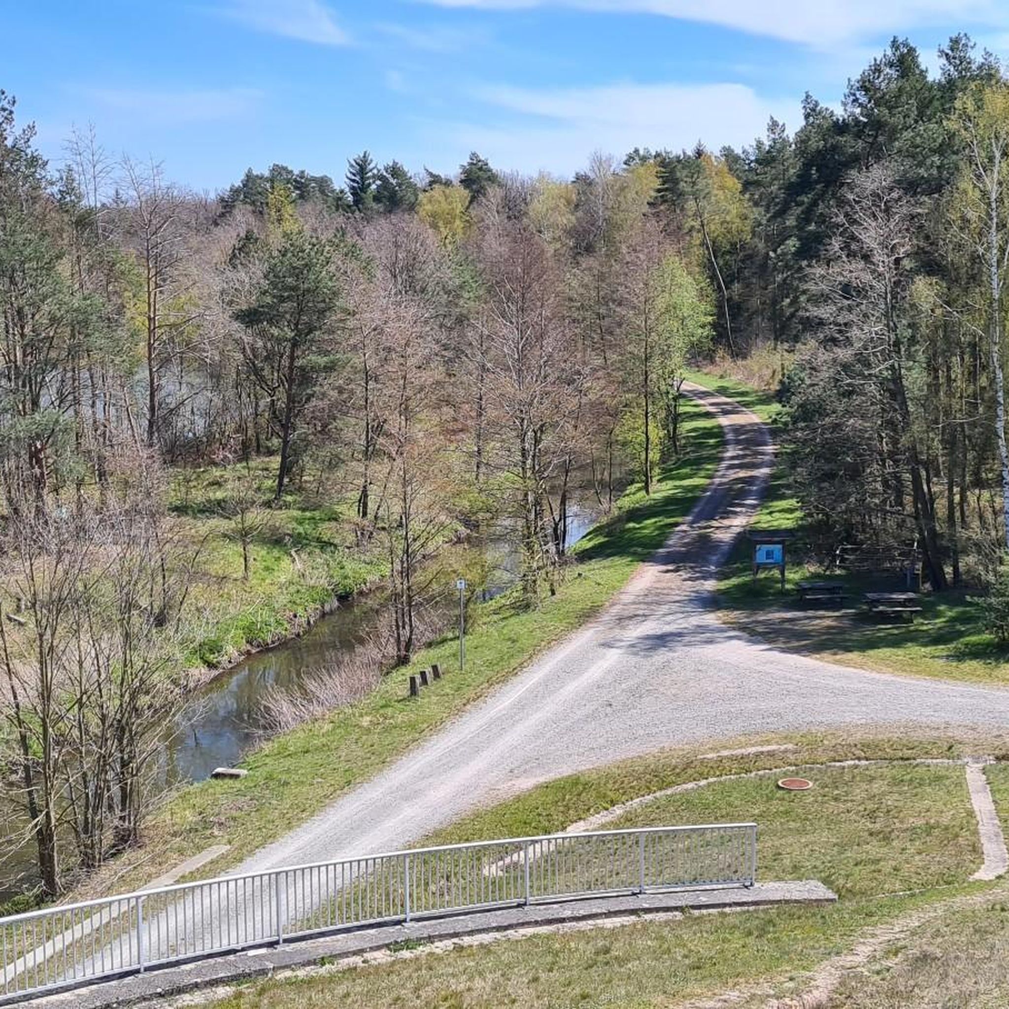
The "Schleusentor" (sluice gate) near Weyhausen is a central hydraulic engineering element in the Barnbruch nature reserve. It marks a historically and ecologically significant point where the Aller river is regulated. The sluice gate serves to regulate the water flow between the canal and the old riverbed. In times of high water, it plays a crucial role in flood protection for the downstream areas (such as Gifhorn).
0
0
As the Elbe Lateral Canal is not dug into the ground for long stretches but is led on embankments above ground level, there is theoretically the danger of an embankment breach. Should an embankment break, the entire water mass of the canal (or at least the section between the next locks) would drain out without a protective device and flood the surrounding area. The gate can be lowered into the canal in a short time if needed (emergency or maintenance work). This divides the waterway into sections and limits the water loss to the stretch between two gates.
0
0
The Mittellandkanal railway bridge near Sülfeld (near Wolfsburg) is a fascinating piece of engineering that connects two of Northern Germany's most important transport arteries: the Berlin–Lehrte railway line (part of the Hanover–Berlin high-speed line) and the Mittellandkanal. The bridge is located west of Wolfsburg, right by the village of Sülfeld. It is a central hub, as it crosses the Mittellandkanal at a point that is critical for both freight transport by ship and high-speed rail traffic (ICE).
0
0
The Tankumsee and the adjacent Elbe-Seitenkanal together form one of the most popular recreational areas in the Gifhorn/Wolfsburg region. The lake is surrounded by a forest area, making it ideal for extensive walks or bike tours. The circular path around the lake is about 3.5 km long.
0
0
Edesbüttel is a strategically important point for inland navigation. Directly by the village, the Mittellandkanal branches off from the Elbe-Seitenkanal. This waterway junction is a hub for freight traffic between the Ruhr area, Berlin, and the Port of Hamburg.
0
0
Frequently Asked Questions
How many hiking trails are available around Calberlah?
There are over 70 hiking routes around Calberlah, offering a wide range of experiences for outdoor enthusiasts. The komoot community has explored these trails over 1900 times, highlighting the region's popularity for hiking.
What are the difficulty levels of hikes around Calberlah?
The hiking trails around Calberlah cater to various skill levels. You'll find over 40 easy routes, around 25 moderate trails, and a few more challenging options. This variety ensures there's something for everyone, from leisurely strolls to more demanding excursions.
What is the best time of year to go hiking in Calberlah?
Calberlah offers beautiful hiking experiences throughout the year. Spring is ideal for exploring the Drömling Nature Park and trails along the Elbe-Seitenkanal when flora is in bloom. Autumn transforms the Elmwald with vibrant colors, perfect for scenic walks. Even in colder months, frozen lakes can offer unique winter activities like ice skating, though dedicated winter hiking might be limited to specific trails.
Are there family-friendly hiking options around Calberlah?
Yes, Calberlah is great for families. The circular trail around Bernsteinsee Lake is highly recommended, offering scenic views and opportunities for swimming or boating. Many of the easy routes, such as the Wasbüttel Floodgate – View of the Canal Junction loop from Calberlah, are also suitable for families.
What kind of natural landscapes can I expect to see while hiking in Calberlah?
The region around Calberlah boasts diverse natural landscapes. You'll encounter green meadows, charming villages, and fields, alongside an extensive network of canals, heathlands, and recreational lakes. Notable features include the expansive Drömling Nature Park, the tranquil Elbe-Seitenkanal, dense forests like the Elmwald, and natural reserves such as Ilkerbruch.
Are there any interesting landmarks or attractions to see along the hiking trails?
Yes, several interesting landmarks and attractions can be found. You can visit the popular Tankumsee Beach, explore the Gifhorn Heath, or observe the Confluence of the Elbe Lateral Canal and the Mittelland Canal. The Ilkerbruch Nature Reserve loop also leads to the Ilkerbruch Observation Tower.
Are there circular hiking routes in Calberlah?
Many of the hiking routes around Calberlah are circular, allowing you to start and end at the same point. For example, the Aller Canal – Tankumsee Beach loop from Samtgemeinde Isenbüttel and the Wasbüttel Floodgate – View of the Canal Junction loop from Samtgemeinde Isenbüttel are popular circular options.
What do other hikers enjoy most about hiking in Calberlah?
The komoot community highly rates the hiking experience in Calberlah, with an average score of 4.7 stars from over 400 reviews. Hikers often praise the diverse terrain, the tranquility of nature, and the well-signposted routes that make exploration enjoyable for all skill levels.
Are there opportunities for swimming or water activities near the hiking trails?
Absolutely. The region features several recreational lakes. Tankumsee Beach is a popular spot with a 1,000-meter sandy beach, perfect for swimming, sunbathing, and various water sports. Bernsteinsee Lake also offers opportunities for swimming or boating, making it a great addition to a hike.
Can I bring my dog on the hiking trails in Calberlah?
While specific regulations can vary by nature reserve, many trails in the Calberlah region are generally dog-friendly. It's always advisable to keep your dog on a leash, especially in nature protection areas like Drömling Nature Park or Ilkerbruch Nature Reserve, to protect local wildlife and ensure a pleasant experience for all hikers.
Are there cafes or pubs along the hiking routes in Calberlah?
While specific establishments directly on every trail might be limited, the charming small villages around Calberlah often offer cafes and pubs where you can refresh yourself. It's a good idea to check local listings for options near your chosen starting or ending points, especially around popular areas like Tankumsee.
What are the typical durations for hikes around Calberlah?
Hikes around Calberlah vary in length and duration. Many popular routes, such as the Aller Canal – Tankumsee Beach loop, can be completed in about 2 to 2.5 hours. Longer trails, like the Tankumsee Beach – Tankumsee Beach loop, might take around 3 hours or more, depending on your pace and stops.
Most popular routes around Calberlah
Most popular attractions around Calberlah

Get inspired with the komoot mobile app


Explore more
Browse the best Hikes in other regions.
