The best walks and hikes around Antermony Loch
4.4
(292)
2,838
hikers
141
hikes
Hiking around Antermony Loch offers a variety of trails in East Dunbartonshire, characterized by its lochside paths, surrounding hills, and local waterways. The region features a mix of open landscapes and areas near canals, providing diverse walking environments. Elevation changes vary, with some routes offering gentle gradients and others ascending to viewpoints.
Best hiking trails around Antermony Loch
- The most popular hiking route is Forth and Clyde Canal – The Stables loop from Kirkintilloch, a 10.1 miles (16.3 km) trail that takes 4 hours 11 minutes to complete, following the historic Forth and Clyde Canal.
- Another top favourite among local hikers is View of Glasgow from Crow Road – Crichton's Cairn loop from Milton of Campsie, a difficult 11.0 miles (17.8 km) path that offers expansive views towards Glasgow from higher ground.
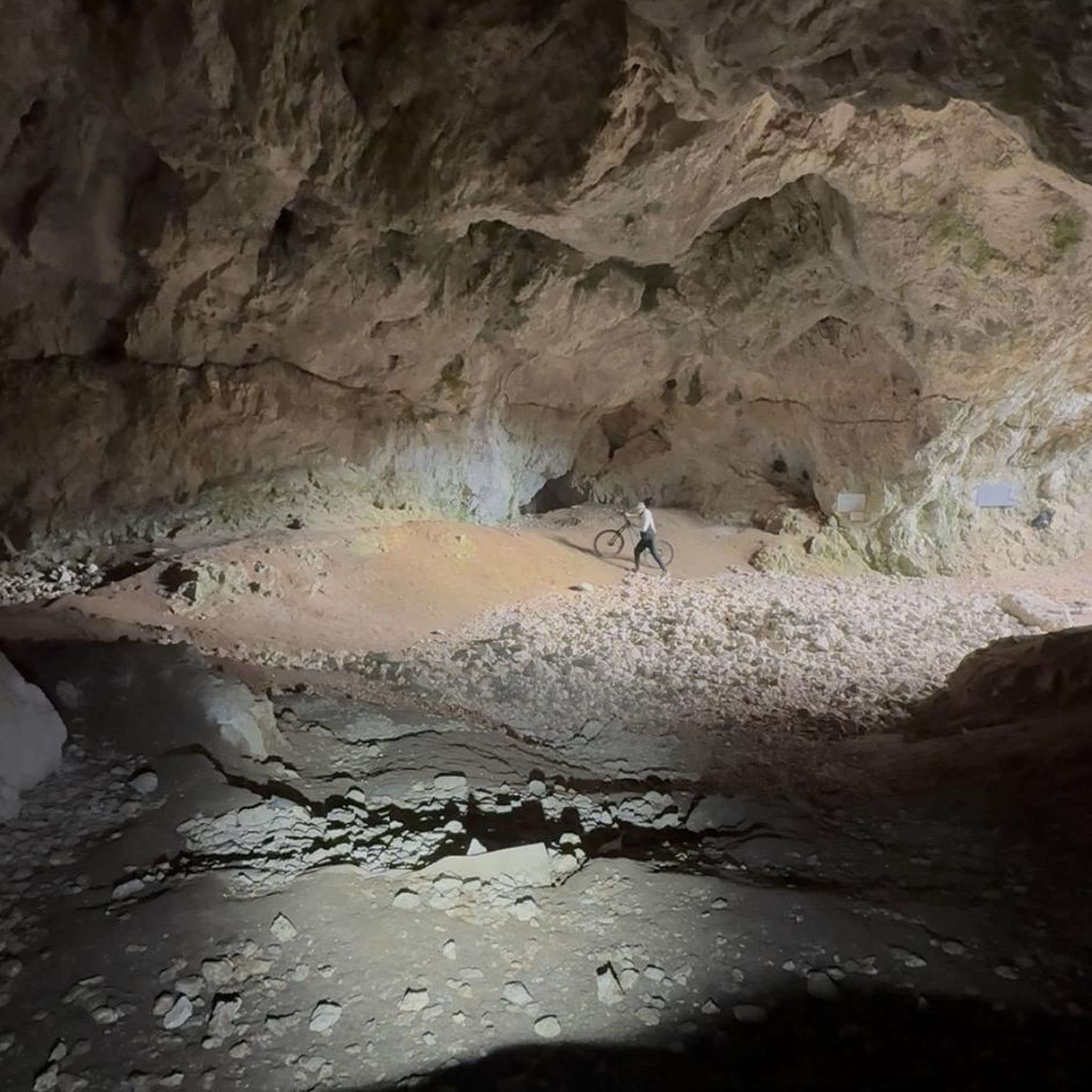
- Local hikers also love the Fells Coffee House – Milton of Campsie Tunnel loop from Milton of Campsie, a 4.5 miles (7.2 km) trail leading through a historic railway tunnel, often completed in about 1 hour 55 minutes.
- Hiking around Antermony Loch is defined by lochside paths, canal routes, and local hills, offering options for different ability levels from easy strolls to more challenging ascents.
- The routes in Antermony Loch are highly rated by the komoot community with an average score of 4.4 stars from over 270 reviews. Nearly 3,000 hikers have used komoot to explore Antermony Loch's varied terrain.
Last updated: July 9, 2026
5.0
(1)
28
hikers
16.3km
04:11
70m
70m
Moderate hike. Good fitness required. Easily-accessible paths. Suitable for all skill levels.
4.0
(1)
15
hikers
Hard hike. Very good fitness required. Easily-accessible paths. Suitable for all skill levels.

Sign up for free
5.0
(2)
14
hikers
7.23km
01:55
80m
80m
Easy hike. Great for any fitness level. Easily-accessible paths. Suitable for all skill levels.
4.5
(2)
7
hikers
Hard hike. Very good fitness required. Easily-accessible paths. Suitable for all skill levels.
5.0
(1)
13
hikers
Moderate hike. Good fitness required. Easily-accessible paths. Suitable for all skill levels.
Get access to more routes and recommendations from other explorers.
Sign up for free
Already have an account?
Our route recommendations are based on thousands of hikes, rides, and runs completed by other people on komoot.
Start today with a free account
Your next adventure awaits.
Login or Signup
Tips from the Community

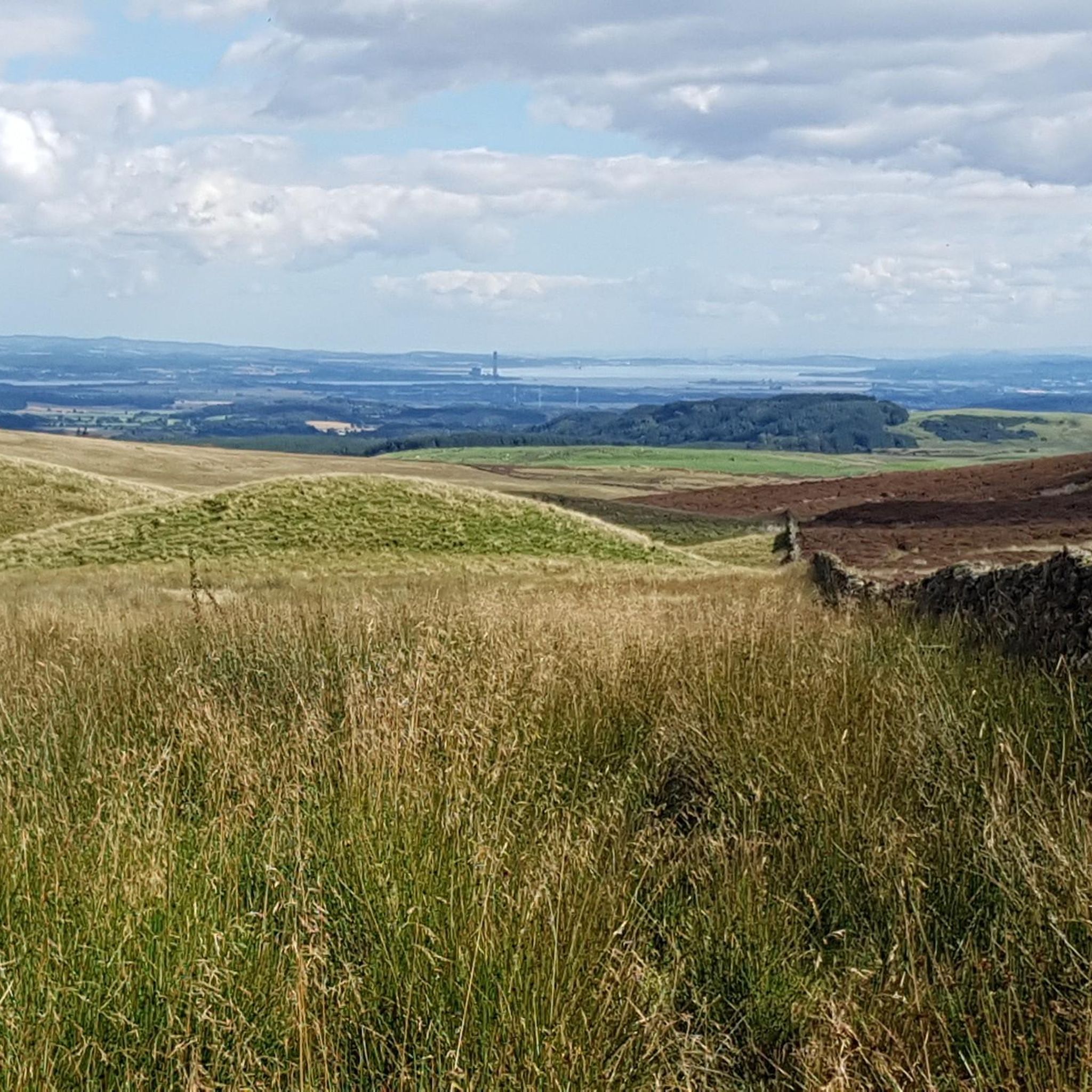
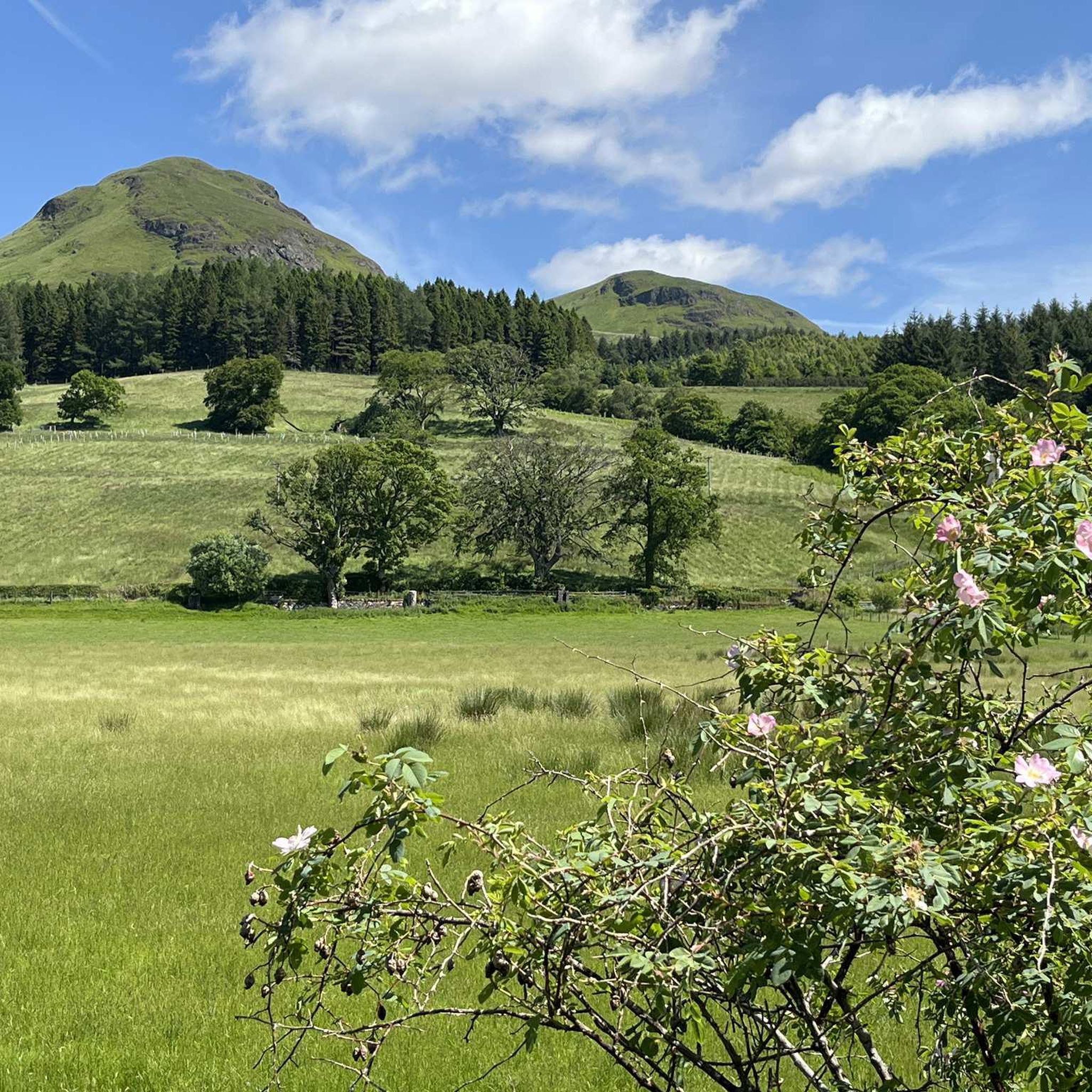
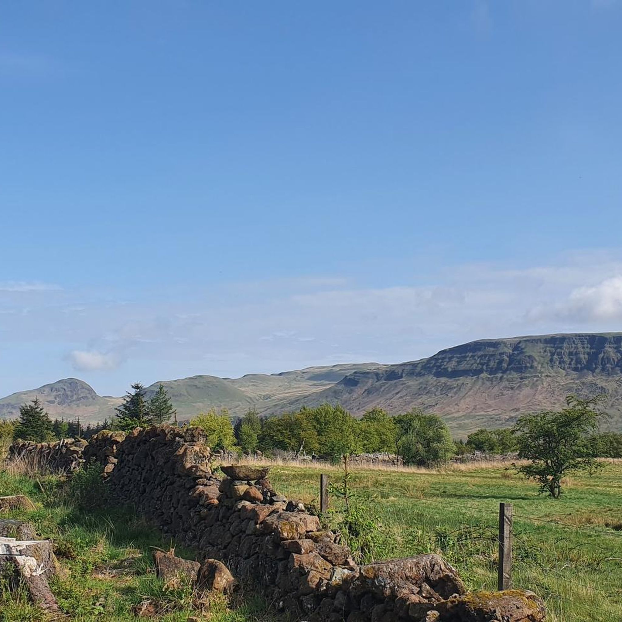
Local nature conservation site between Milton of Campsie and the Campsie Fells
0
0

Super cafe stop, all day breakfasts, snacks and coffee & cakes!
0
0
Vintage Inn country pub with large beer garden next to canal. Very dog-friendly
0
0
Cadder Parish Church of Scotland. There's a carpark next to the canal so you can start/finish the walk there, or further along the canal
0
0

On a nice day it’s the perfect little spot to take a wee break and grab a bite or a drink. It’s situated right on the tow path so you don’t need to worry about finding it!
0
0


A great stop to admire the sheep and cows along the way
0
0

Frequently Asked Questions
How many hiking trails are available around Antermony Loch?
There are nearly 150 hiking trails around Antermony Loch, offering a wide range of options from easy strolls to more challenging ascents. This includes 70 easy routes, 58 moderate, and 18 difficult trails.
What do other hikers enjoy the most about hiking in Antermony Loch?
The area is highly rated by the komoot community, with an average score of 4.4 stars from over 270 reviews. Hikers often praise the diverse landscapes, from tranquil lochside paths to routes offering expansive views towards Glasgow, and the mix of canal routes and local hills.
Are there options for beginner hikers around Antermony Loch?
Yes, Antermony Loch offers a good selection of routes suitable for beginners. There are 70 easy trails, many of which feature gentle gradients and well-maintained paths. An example is the Fells Coffee House – Milton of Campsie Tunnel loop from Milton of Campsie, a 7.2 km trail that is generally easy to complete.
What kind of terrain can I expect on hikes near Antermony Loch?
The terrain around Antermony Loch is varied, featuring lochside paths, sections along the historic Forth and Clyde Canal, and routes ascending into the surrounding hills. You'll encounter a mix of open landscapes, wooded areas, and some paths that follow old railway lines, like the one through the Milton of Campsie Tunnel.
Are there any circular walks available near Antermony Loch?
Yes, many of the trails around Antermony Loch are circular, allowing you to start and end at the same point. A popular moderate circular route is the Forth and Clyde Canal – The Stables loop from Kirkintilloch, which is 16.3 km long and follows the canal.
Can I bring my dog on the hiking trails around Antermony Loch?
Most trails around Antermony Loch are dog-friendly, but it's always recommended to keep dogs on a lead, especially near livestock, in nature conservation areas, or on busy paths. Be mindful of local signage and ensure you clean up after your pet.
Are the trails around Antermony Loch suitable for families with children?
Yes, many of the easier and moderate trails are suitable for families. The lochside paths and canal routes often have relatively flat terrain, making them enjoyable for children. The Fells Coffee House – Milton of Campsie Tunnel loop from Milton of Campsie, for instance, offers an interesting feature with the historic tunnel that children might enjoy.
Where can I find parking for walks around Antermony Loch?
Parking is generally available in nearby towns and villages such as Kirkintilloch and Milton of Campsie, which serve as common starting points for many routes. Specific car parks are often indicated on komoot tour pages or local maps near popular trailheads.
Is Antermony Loch accessible by public transport?
Public transport options to the Antermony Loch area are available, primarily through bus services connecting to nearby towns like Kirkintilloch and Milton of Campsie. From these points, you can often access trailheads within walking distance. It's advisable to check local bus schedules for the most up-to-date information.
What is the best time of year to hike around Antermony Loch?
Spring and autumn are often considered the best times for hiking around Antermony Loch, offering pleasant temperatures and beautiful scenery. Spring brings blooming wildflowers, while autumn showcases vibrant foliage. Summer is also popular, though trails can be busier. Winter hiking is possible but requires appropriate gear for potentially wet or icy conditions.
Are there any longer, more challenging hikes for experienced hikers?
Yes, for experienced hikers seeking a challenge, there are difficult routes available. An example is the View of Glasgow from Crow Road – Crichton's Cairn loop from Milton of Campsie, an 17.8 km trail with significant elevation gain, offering expansive views from higher ground. Another challenging option is the Stone Orientation Board – Auchinstarry Marina loop from Cleddans, which spans 28.2 km.
Are there any cafes or places to eat near the hiking routes?
Yes, you'll find cafes and eateries in the nearby towns and villages such as Milton of Campsie and Kirkintilloch. Some routes, like the Fells Coffee House – Milton of Campsie Tunnel loop from Milton of Campsie, even start or pass by local coffee shops, making it convenient for a pre- or post-hike refreshment.
Most popular routes around Antermony Loch

Get inspired with the komoot mobile app


Explore more
Browse the best Hikes in other regions.
