The best cycling routes around Loch Garry
5.0
(1)
82
riders
6
rides
Touring cycling routes around Loch Garry are set within the Scottish Highlands, characterized by a freshwater loch approximately 6.8 miles (11 km) long, fed by the River Garry. The region features dramatic landscapes with surrounding mountains like Ben Tee and Meall na Teanga, alongside native pine and birch woodlands. These physical features contribute to a diverse range of routes, from loch-side paths to more demanding trails with significant elevation changes.
Best touring cycling routes around Loch Garry
- The most popular…
Last updated: May 17, 2026
3
riders
81.2km
06:46
720m
730m
Hard bike ride. Very good fitness required. You may need to push your bike for some segments of this route.
22
riders
125km
10:46
1,240m
1,240m
Hard bike ride. Very good fitness required. Mostly paved surfaces. Suitable for all skill levels.

Sign up for free
22
riders
130km
10:58
1,190m
1,190m
Hard bike ride. Very good fitness required. Mostly paved surfaces. Suitable for all skill levels.
3
riders
48.2km
03:42
600m
600m
Hard bike ride. Very good fitness required. Mostly paved surfaces. Suitable for all skill levels.
5.0
(1)
13
riders
83.8km
05:50
630m
630m
Hard bike ride. Very good fitness required. You may need to push your bike for some segments of this route.
Our route recommendations are based on thousands of hikes, rides, and runs completed by other people on komoot.
Start today with a free account
Your next adventure awaits.
Login or Signup
Popular around Loch Garry
Tips from the Community

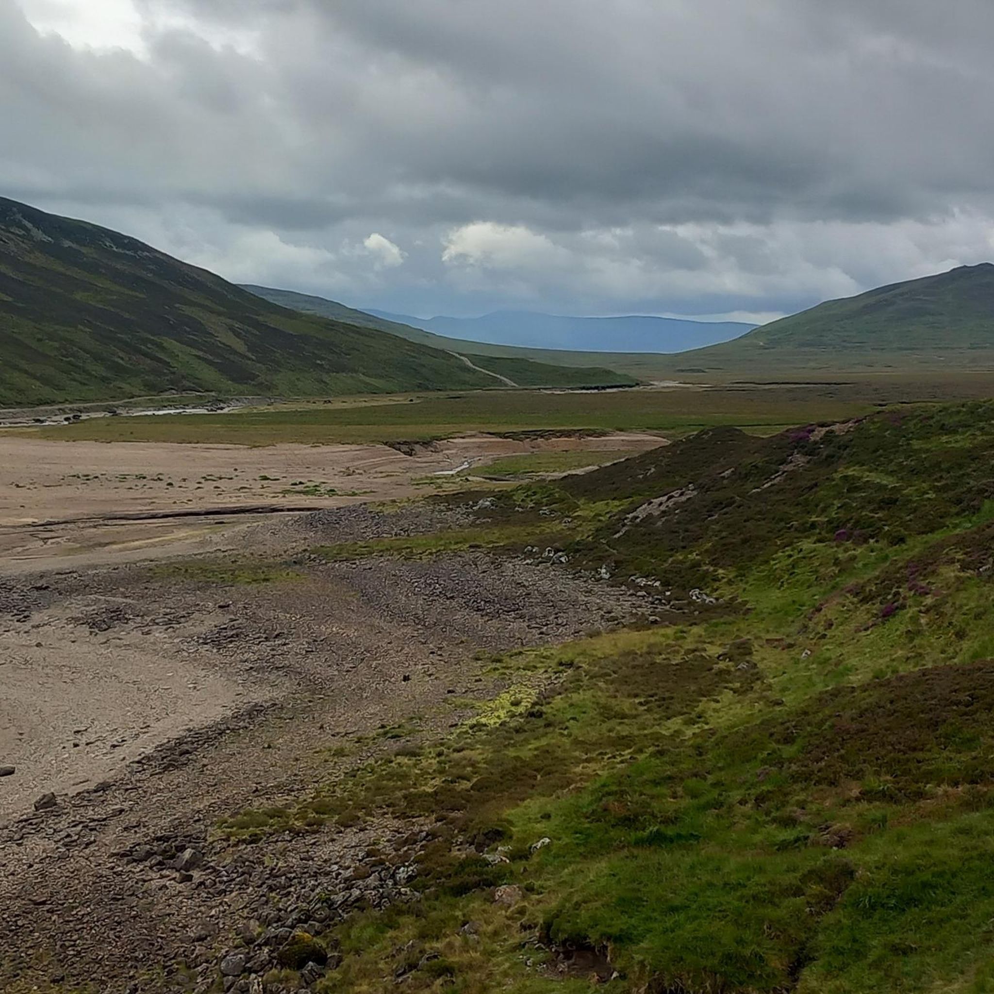
The pass itself isn't particularly strenuous, but it's very open and can get very windy. The cycle path is also a patchwork of different roads.
0
0

Impressive ruins just outside Kingussie. They're free to visit and will impress even if you're unfamiliar with the story of the Jacobite Rising.
3
0
Even without any background or knowledge, the Ruthven Barracks are impressive and not to be missed on your bike ride around Kingussie. The well-preserved ruins are free to visit.
3
0
This lower section of Glen Tromie is cycled on a hard-packed gravel road that's easy to ride with most bikes. A gravel bike is the ideal choice here, but keep in mind that the paths higher up in the glen deteriorate quickly, and a mountain bike might be a better choice. Whichever bike you use, the scenery is beautiful here, and the views over the various lochs further down the glen are worth the effort alone.
4
0


You’ll be tempted to bolt along this part, but if you slow down heading towards Kingussie you can take in a stunning view of the mountains
0
0

Ruthven Barracks is an early 18th-century infantry barracks built after the Jacobite Rising of 1715 to keep the Highlands under government control. The barracks complex is located at Ruthven, 1.6 kilometres from Kingussie, in the Highland region of Scotland. The barracks were destroyed during the Jacobite Rising of 1745–46. The barracks consisted of a symmetrical arrangement of two wings for living accommodation on the north-east and south-west sides of an open courtyard. The barracks had four floors. Each room had its own hearth, where the soldiers could prepare their own food. The complex was roughly square-walled with attached towers on the west and east corners. The ground floor of the former served as a guardhouse, the latter as a bakery and kitchen. The upper floors of the tower were used for the officers' accommodation. A well was located in the west corner of the complex. The main gate was located on the south-eastern side of the complex. On the north-western side, outside the walls of the barracks complex, there was a stable block.
1
0

Frequently Asked Questions
What is the general difficulty level of touring cycling routes around Loch Garry?
The touring cycling routes around Loch Garry are generally considered difficult. All 6 routes listed in our guide are rated as difficult, featuring significant elevation changes and varied terrain. For example, the Pass of Drumochter Summit – Pass of Drumochter loop from Allt Coire Luidhearnaidh involves over 720 meters of elevation gain.
Are there any family-friendly touring cycling routes near Loch Garry?
While the routes listed in this guide are rated as difficult, Loch Garry itself offers a mix of terrain. The region research suggests that there are 'easily accessible paths suitable for all skill levels' and 'gentle loch-side paths' in the broader area. However, specific family-friendly touring routes are not detailed in the current selection. It's advisable to check individual route descriptions for suitability.
What kind of landscapes and natural features can I expect to see while cycling around Loch Garry?
Cyclists around Loch Garry can expect stunning natural beauty. The routes often lead through picturesque glens, past serene waters of the freshwater loch and the River Garry, and through surrounding woodlands of native pine and birch. You'll also be framed by dramatic mountains like Ben Tee and Meall na Teanga, offering extensive views of the Scottish Highlands.
What is the typical duration for touring cycling routes in the Loch Garry area?
The touring cycling routes around Loch Garry vary significantly in length and duration due to their challenging nature. For instance, the Corrour Railway Station – Pass of Drumochter Summit loop from Dalwhinnie is a demanding 124.9 km route that typically takes over 10 hours to complete. Shorter, though still difficult, routes like the Loch Rannoch – Kinloch Rannoch Village loop from Kinloch Rannoch can take around 3 hours 40 minutes.
Are there any circular touring cycling routes available around Loch Garry?
Yes, many of the touring cycling routes in the Loch Garry area are designed as loops, allowing you to start and finish at the same point. Examples include the challenging Kinloch Rannoch Village – Pass of Drumochter Summit loop from Kinloch Rannoch, which covers 129.5 km, and the Pass of Drumochter Summit – Ruthven Barracks loop from Layby 66.
What is the best time of year to go touring cycling around Loch Garry?
The Scottish Highlands, including Loch Garry, are best enjoyed for cycling during the warmer and drier months, typically from late spring to early autumn (May to September). This period offers longer daylight hours and generally more favorable weather conditions, though Scottish weather can be unpredictable at any time of year. Some routes may be unpaved or boggy, so drier conditions are preferable.
What kind of wildlife might I encounter while cycling in the Loch Garry region?
The Loch Garry region is rich in wildlife. Cyclists have opportunities to spot red deer and various bird species, including eagles, in the dramatic landscapes and woodlands surrounding the loch. The loch itself is home to arctic char.
How many touring cycling routes are available in the Loch Garry guide?
Our guide features 6 distinct touring cycling routes around Loch Garry, all of which are rated as difficult due to their challenging terrain and elevation profiles.
What do other touring cyclists say about their experience in Loch Garry?
The touring cycling routes in Loch Garry are highly rated by the komoot community, with an average score of 5.0 stars from over 1 review. Cyclists often praise the dramatic Highland scenery, the variety of terrain, and the tranquil experience of immersing themselves in nature's splendor.
Is it possible to access touring cycling routes around Loch Garry using public transport?
Loch Garry is situated within the Great Glen, near Invergarry, and is part of National Cycle Network route 7. While specific public transport links directly to all trailheads are not detailed, the presence of routes like the Corrour Railway Station – Pass of Drumochter Summit loop from Dalwhinnie suggests that some routes are accessible from railway stations, providing options for public transport users.
Are there any amenities like cafes or pubs near the touring cycling routes in Loch Garry?
The region around Loch Garry offers a tranquil experience, and while specific cafes or pubs directly on every route are not detailed, the area is near Invergarry and villages like Kinloch Rannoch. The Kinloch Rannoch Village – Pass of Drumochter Summit loop from Kinloch Rannoch starts from a village, implying potential access to amenities. It's always recommended to plan your route and check for available services in nearby settlements.
Most popular routes around Loch Garry

Get inspired with the komoot mobile app


Explore more
Browse the best Cycling routes in other regions.
