The best mountain hikes around Lago di Toblino
4.7
(112)
700
hikers
9
hikes
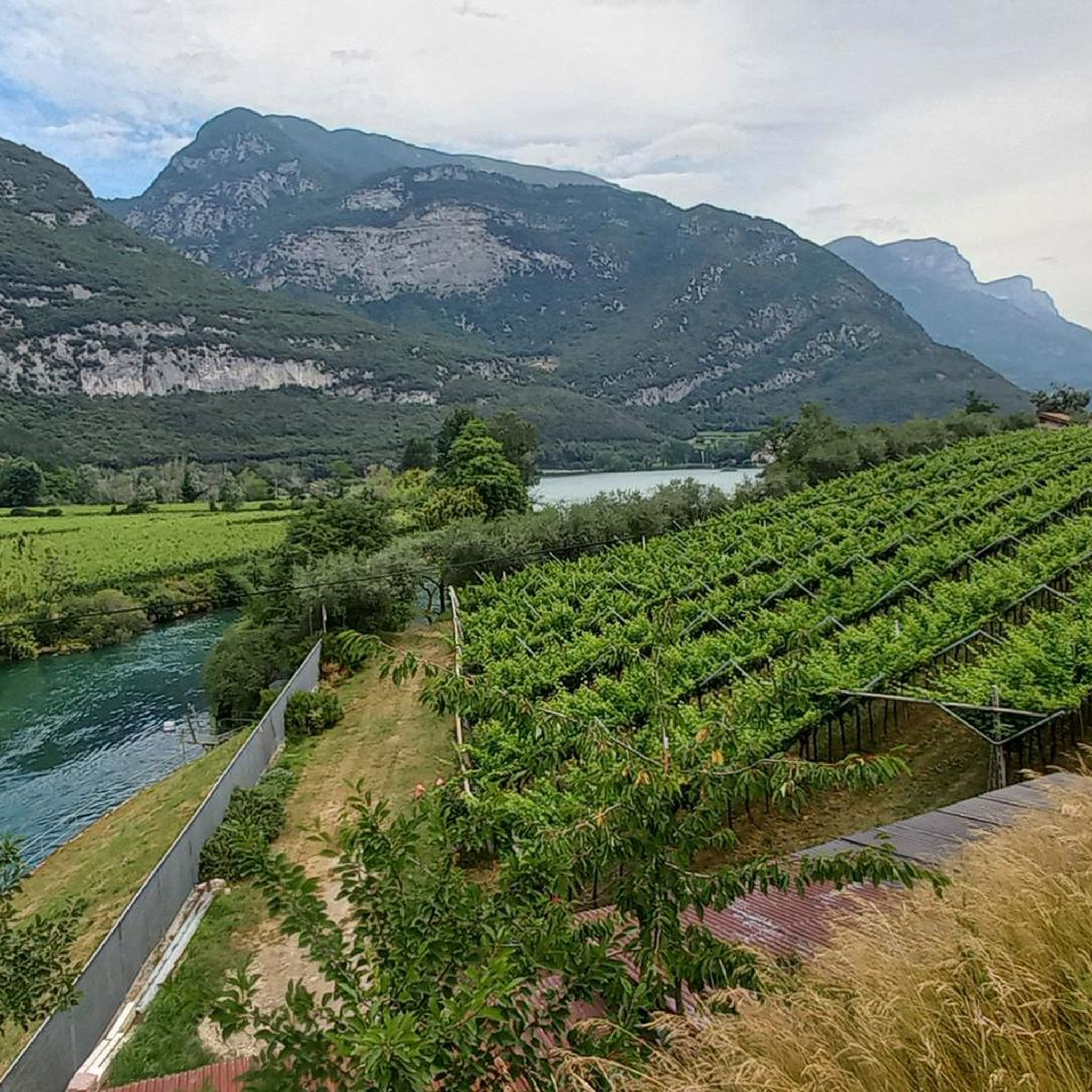
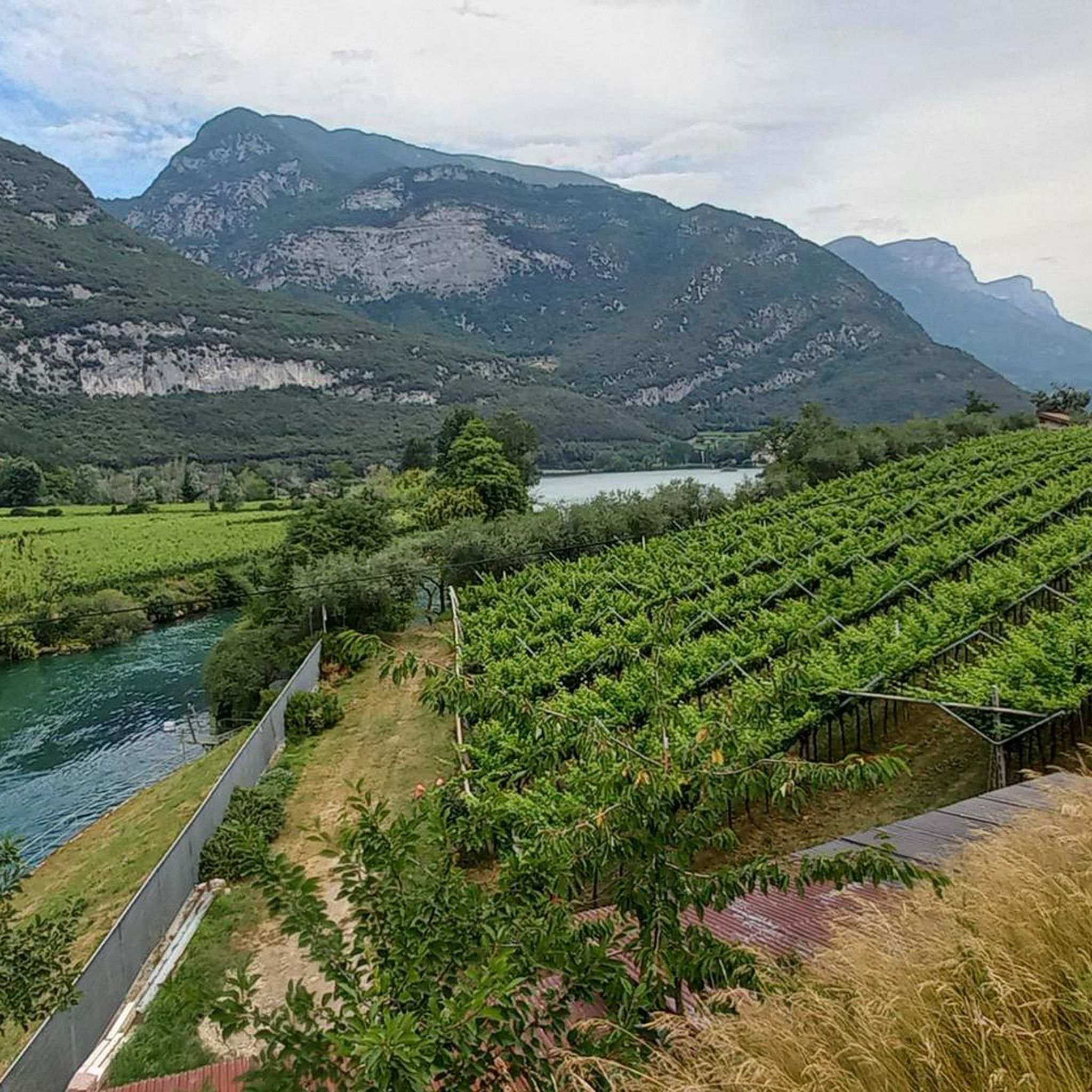
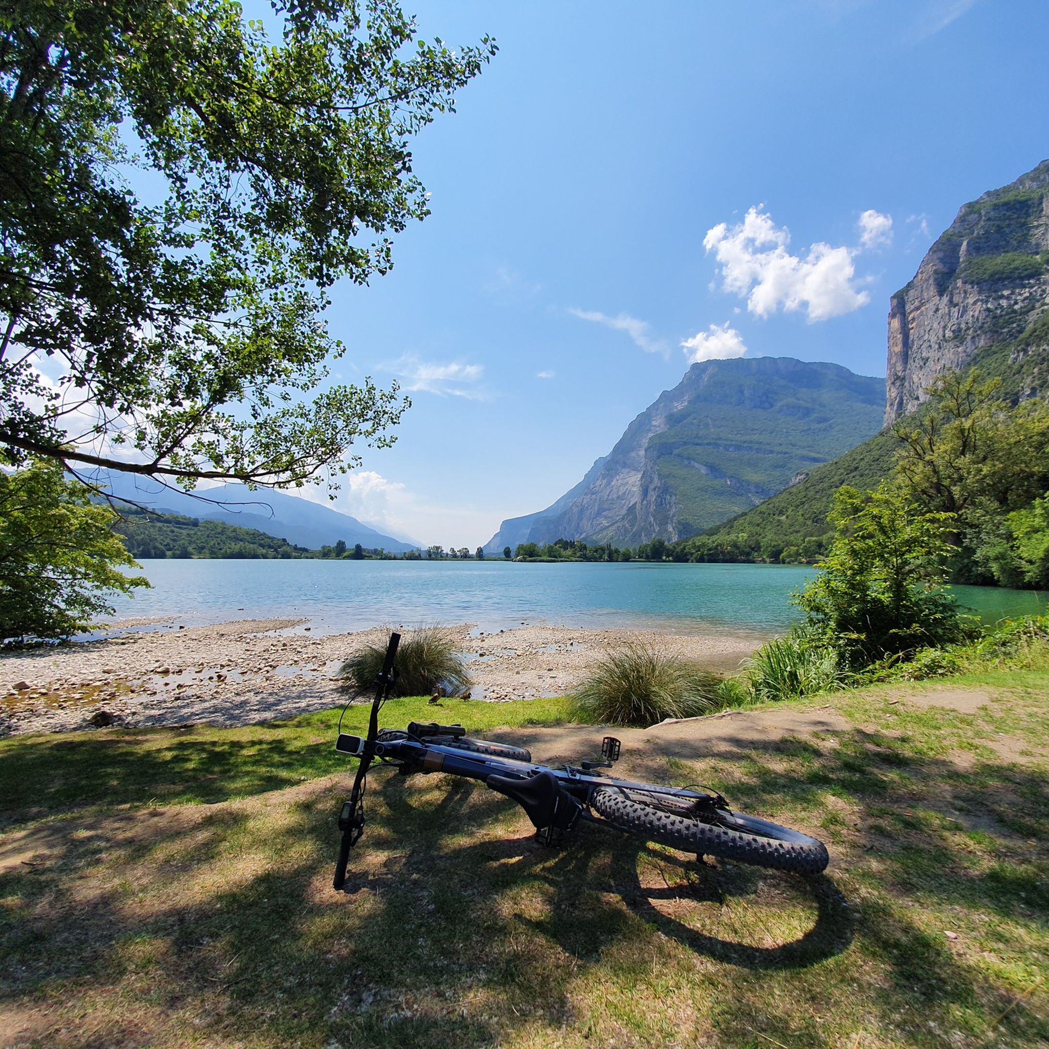
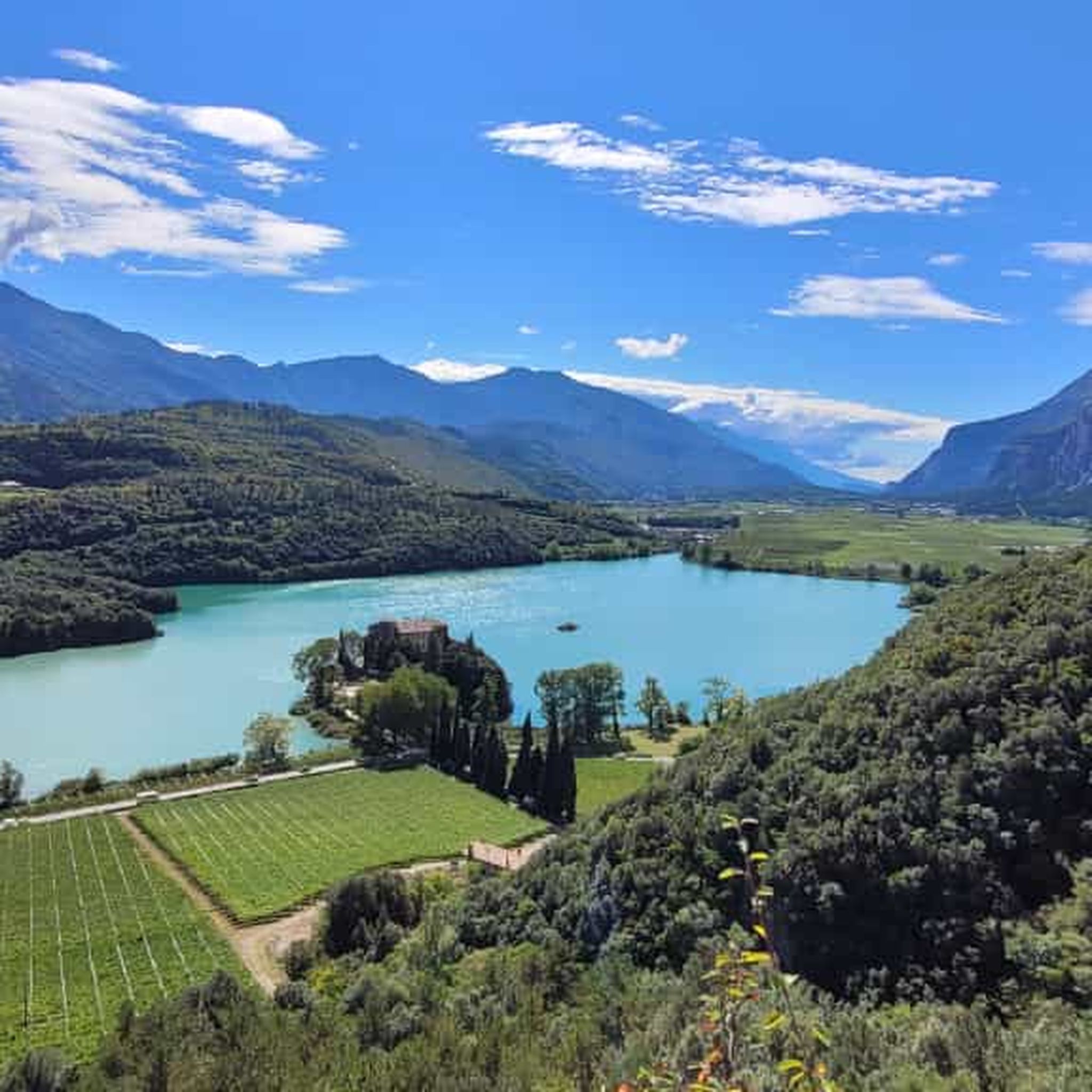
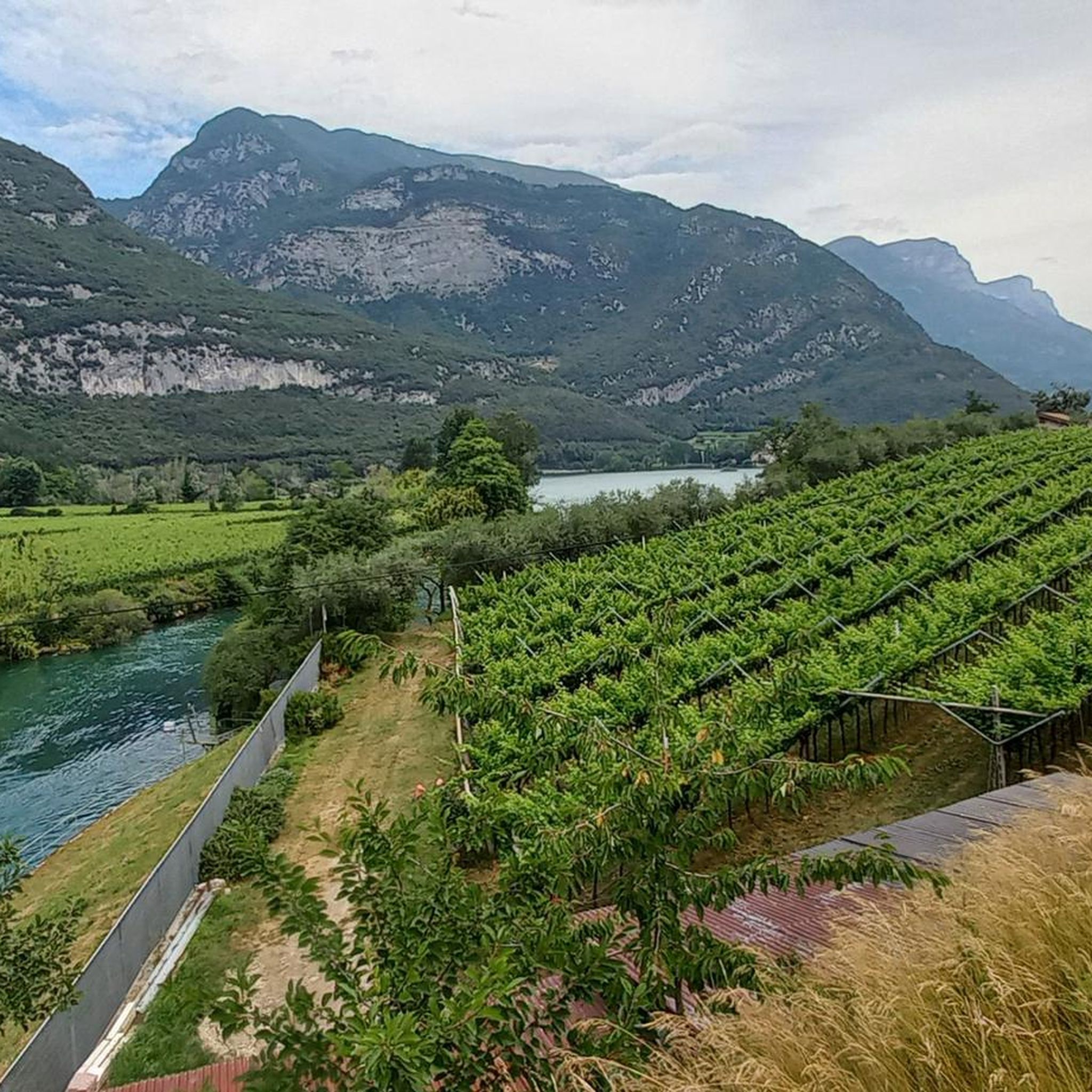
Mountaineering around Lago di Toblino offers challenging routes through a landscape characterized by steep rock faces, dense woodlands, and significant elevation changes. The region, nestled in Trentino, features prominent peaks like Garzolet Peak and ridges such as Monte Cavo. These routes often involve technical sections, including via ferratas, and provide expansive views of the surrounding valleys and the lake. The terrain is rugged, with paths winding through rocky outcrops and forested slopes.
Best mountaineering routes around Lago di Toblino
- The most popular mountaineering route is Via Ferrata Rino Pisetta – Garzolet Peak (961 m) loop from Sarche, a 4.0 miles (6.4 km) trail that takes 4 hours 46 minutes to complete. This route features a demanding via ferrata section leading to Garzolet Peak.
- Another top favourite among local mountaineers is Rocky Cliffside Steps – Garzolet Peak (961 m) loop from Sarche, a difficult 7.2 miles (11.7 km) path. This route navigates exposed rocky cliffside steps and offers panoramic views from Garzolet Peak.
- Local mountaineers also love the Rocky Cliffside Steps – Via Ferrata Rino Pisetta loop from Ranzo, a 3.1 miles (5.0 km) trail leading through challenging rocky terrain and a via ferrata, often completed in about 4 hours.
- Mountaineering around Lago di Toblino is defined by steep rock faces, via ferratas, and forested mountain slopes. The network offers options for experienced mountaineers seeking challenging ascents and technical sections.
- The routes in Lago di Toblino are highly rated by the komoot community with an average score of 4.5 stars from over 100 reviews. More than 600 mountaineers have used komoot to explore Lago di Toblino's varied terrain.
Last updated: July 6, 2026
4.7
(16)
151
hikers
6.41km
04:46
700m
700m
Hard mountaineering route. Good fitness required. Sure-footedness, sturdy shoes and alpine experience required.
4.9
(8)
43
hikers
8.77km
05:05
720m
720m
Hard mountaineering route. Very good fitness required. Sure-footedness, sturdy shoes and alpine experience required.

Sign up for free
5.0
(4)
37
hikers
11.6km
04:54
730m
730m
Hard mountaineering route. Good fitness required. Sure-footedness, sturdy shoes and alpine experience required.
4.7
(9)
61
hikers
5.03km
04:00
540m
530m
Hard mountaineering route. Good fitness required. Sure-footedness, sturdy shoes and alpine experience required.
4.8
(5)
22
hikers
8.18km
04:43
660m
660m
Hard mountaineering route. Good fitness required. Sure-footedness, sturdy shoes and alpine experience required.
Get access to more routes and recommendations from other explorers.
Sign up for free
Already have an account?
Our route recommendations are based on thousands of hikes, rides, and runs completed by other people on komoot.
Start today with a free account
Your next adventure awaits.
Login or Signup

Tips from the Community

THE EXTRAORDINARY COMMISSIONER Whereas on the afternoon of Tuesday, 14 October 2025, a rock slab detached from Mount Garzolet, affecting the route of the "Ferrata Pisetta"; Considering that this event constitutes a potential danger to public safety, particularly for hikers and climbers who frequent the area; Deeming it therefore essential, in order to ensure public safety, to order the temporary closure of access to the "Ferrata Pisetta" until the completion of the necessary inspections; Having regard to the provisions of the Code of Local Authorities (C.E.L.), approved by Regional Law of 3 May 2018, No. 2, and in particular Article 61; Deeming it appropgiate to establish a prohibition of access to the affected area in order to prevent accidents or damage persons or property;
1
0

Beautiful panorama but strength in the arms is a prerequisite for this via ferrata, I suggest taking enough to drink with you!
1
0


After about 300 m of ascent, the C/D entry is already tough. Don't forget to protect yourself from the sun. SOUTH FACE.
2
0

An absolutely wonderful place up there!
0
0

How to get there: At the roundabout in Sarche, take Via Caffaro in the direction of Madonna di Campiglio. After a few meters, turn right up the hill at the traffic lights opposite the gas station. You can park easily on the right. Approach: The easiest approach is not easy to find. At the back of the hall you will find the first signpost for the via ferrata and first follow the hiking trail. At the sign “Riserva Naturale Provinciale” the slope goes steeply up to. Now you are in front of an avalanche protection wall, on the other side of which you can turn left. Now follow the signposted hiking trail again, which winds up through the forest to the right. At a scree gully you are tempted to turn left. But you don't do that, you continue to follow the path. After a few hairpin bends you cross the scree gully again and are once again tempted to turn uphill into it. But you don't do that. The easier route leads up a few meters behind the scree gully. On the steep final climb it is better to keep to the right in places without markings.
0
0
How to get there: At the roundabout in Sarche, take Via Caffaro in the direction of Madonna di Campiglio. After a few meters, turn right up the hill at the traffic lights opposite the gas station. You can park easily on the right. Approach: The easiest approach is not easy to find. At the back of the hall you will find the first signpost for the via ferrata and first follow the hiking trail. At the sign “Riserva Naturale Provinciale” the slope goes steeply up to. Now you are in front of an avalanche protection wall, on the other side of which you can turn left. Now follow the signposted hiking trail again, which winds up through the forest to the right. At a scree gully you are tempted to turn left. But you don't do that, you continue to follow the path. After a few hairpin bends you cross the scree gully again and are once again tempted to turn uphill into it. But you don't do that. The easier route leads up a few meters behind the scree gully. On the steep final climb it is better to keep to the right in places without markings.
1
0
How to get there: At the roundabout in Sarche, take Via Caffaro in the direction of Madonna di Campiglio. After a few meters, turn right up the hill at the traffic lights opposite the gas station. You can park easily on the right. Approach: The easiest approach is not easy to find. At the back of the hall you will find the first signpost for the via ferrata and first follow the hiking trail. At the sign “Riserva Naturale Provinciale” the slope goes steeply up to. Now you are in front of an avalanche protection wall, on the other side of which you can turn left. Now follow the signposted hiking trail again, which winds up through the forest on the right. At a scree gully you are tempted to turn left. But you don't do that, you continue to follow the path. After a few hairpin bends you cross the scree gully again and are once again tempted to turn uphill into it. But you don't do that. The easier route leads up a few meters behind the scree gully. On the steep final climb it is better to keep to the right in places without markings. There is a nice place right at the entrance where you can put on your equipment. The first 10 meters of altitude are the most difficult. According to the topo, a point E. Later there will be overhangs D/E. This place is steep. But nothing hangs over it. Despite the structure that is always present in the rock, you have to encounter friction a few times. You can certainly walk the via ferrata in mountain boots, but it's more fun in climbing shoes. In the difficult passages the kicks are a bit slimmed down. Just for comparison, the D/E rated walls in Via Ferrata Giulio Segata are much smoother and longer than the E spot in Via Ferrata Rino Pisetta. The Mori via ferrata, on the other hand, is significantly easier and shorter than the Via Ferrata Rino Pisetta. The topo of bergstieg.com is a bit inaccurate. For example, there are more walking passages than are shown in the topo. This makes it a little difficult to find out how far you have already come and what awaits you. https://www.bergstieg.com/touren/klettersteig/via-ferrata-rino-pisetta/
3
0
Frequently Asked Questions
Are there any easy or beginner-friendly mountaineering routes around Lago di Toblino?
The mountaineering routes around Lago di Toblino are generally considered difficult, featuring steep rock faces, significant elevation changes, and often technical sections like via ferratas. There are no easy or moderate mountaineering routes listed in this guide. For a less strenuous experience, consider exploring the New Toblino cycle and pedestrian path or the Toblino lakefront promenade for scenic walks.
Are there any shorter mountaineering routes, perhaps around 3 hours, in the Lago di Toblino area?
While most mountaineering routes in this area are quite demanding and take longer, the Rocky Cliffside Steps – Via Ferrata Rino Pisetta loop from Ranzo is one of the shorter options, typically completed in about 4 hours. It covers 3.1 miles (5.0 km) and involves challenging rocky terrain and a via ferrata.
Are the mountaineering routes around Lago di Toblino typically circular?
Yes, many of the mountaineering routes in the Lago di Toblino area are designed as loops, allowing you to start and finish at the same point. Examples include the Via Ferrata Rino Pisetta – Garzolet Peak (961 m) loop from Sarche and the Costa del Cavai – Monte Cavo Ridge loop from Biotopo Toribera delle Viote.
Where can I find parking for mountaineering routes near Lago di Toblino?
Parking is generally available in the villages that serve as starting points for these routes. For example, routes like the Via Ferrata Rino Pisetta – Garzolet Peak (961 m) loop often start from Sarche, where you can find designated parking areas. Similarly, Ranzo is a common starting point for other tours, such as the Rocky Cliffside Steps – Via Ferrata Rino Pisetta loop.
Is it possible to reach the mountaineering routes around Lago di Toblino by public transport?
While some villages like Sarche are served by local bus lines, public transport options can be limited, especially for reaching specific trailheads high in the mountains. It's advisable to check local bus schedules in advance, particularly if your chosen route starts from a more remote location. Driving to the starting points often offers more flexibility.
What is the best time of year for mountaineering around Lago di Toblino?
The best time for mountaineering around Lago di Toblino is typically from late spring to early autumn (May to October). During these months, the weather is generally more stable, and trails are free of snow, making the technical sections and via ferratas safer and more accessible. Always check local weather forecasts before heading out.
Is winter mountaineering possible around Lago di Toblino?
Winter mountaineering around Lago di Toblino is generally not recommended for the routes listed in this guide due to the challenging terrain, steep rock faces, and potential for snow and ice. These conditions can significantly increase the difficulty and risk, especially on via ferratas. It is best to stick to the warmer months for these specific routes.
Are the mountaineering trails around Lago di Toblino dog-friendly?
While many trails in the Trentino region are dog-friendly, the mountaineering routes around Lago di Toblino, with their steep rock faces, via ferratas, and exposed sections, may not be suitable for all dogs, especially those not accustomed to such challenging terrain. Always assess your dog's capabilities and consider their safety on technical sections. Keep dogs on a leash and be mindful of other hikers.
Are there any mountaineering routes near Lago di Toblino that pass by a cafe or refreshment point?
The mountaineering routes themselves are often in rugged, remote areas without direct access to cafes. However, starting and ending points in villages like Sarche or Ranzo may offer refreshment options. It's always recommended to carry sufficient water and snacks, as facilities along the trails are scarce. You might find cafes near Toblino Castle, which is close to the lake.
Are there any less crowded mountaineering options or 'hidden gems' around Lago di Toblino?
While routes like the Via Ferrata Rino Pisetta are popular, you might find fewer people on tours that explore other ridges or peaks. For example, the Costa del Cavai – Monte Cavo Ridge loop from Biotopo Toribera delle Viote offers a challenging experience with potentially less traffic, leading to panoramic views from Monte Cavo.
What can I see along the mountaineering routes around Lago di Toblino?
The mountaineering routes offer breathtaking views of the surrounding valleys and the iconic Lake Toblino. You'll traverse rugged terrain, dense woodlands, and encounter prominent peaks like Garzolet Peak and ridges such as Monte Cavo. Many routes provide expansive panoramas, showcasing the unique landscape of Trentino.
What should I pack for mountaineering around Lago di Toblino?
Given the difficult nature of these routes, essential gear includes sturdy mountaineering boots, appropriate clothing layers, a helmet, and a via ferrata set if your chosen route includes one. Always carry sufficient water, high-energy snacks, a first-aid kit, a map or GPS device, and sun protection. Checking the weather forecast before you go is crucial.
How many mountaineering routes are available in the Lago di Toblino area?
There are over 9 mountaineering routes detailed in this guide for the Lago di Toblino area. These routes are all classified as difficult, offering challenging ascents and technical sections for experienced mountaineers.
Most popular routes around Lago di Toblino
Most popular attractions around Lago di Toblino

Get inspired with the komoot mobile app


Explore more
Browse the best Mountain Hikes & Routes in other regions.
