The best mountain hikes around Lake Fusine inferiore
4.5
(102)
716
hikers
24
hikes
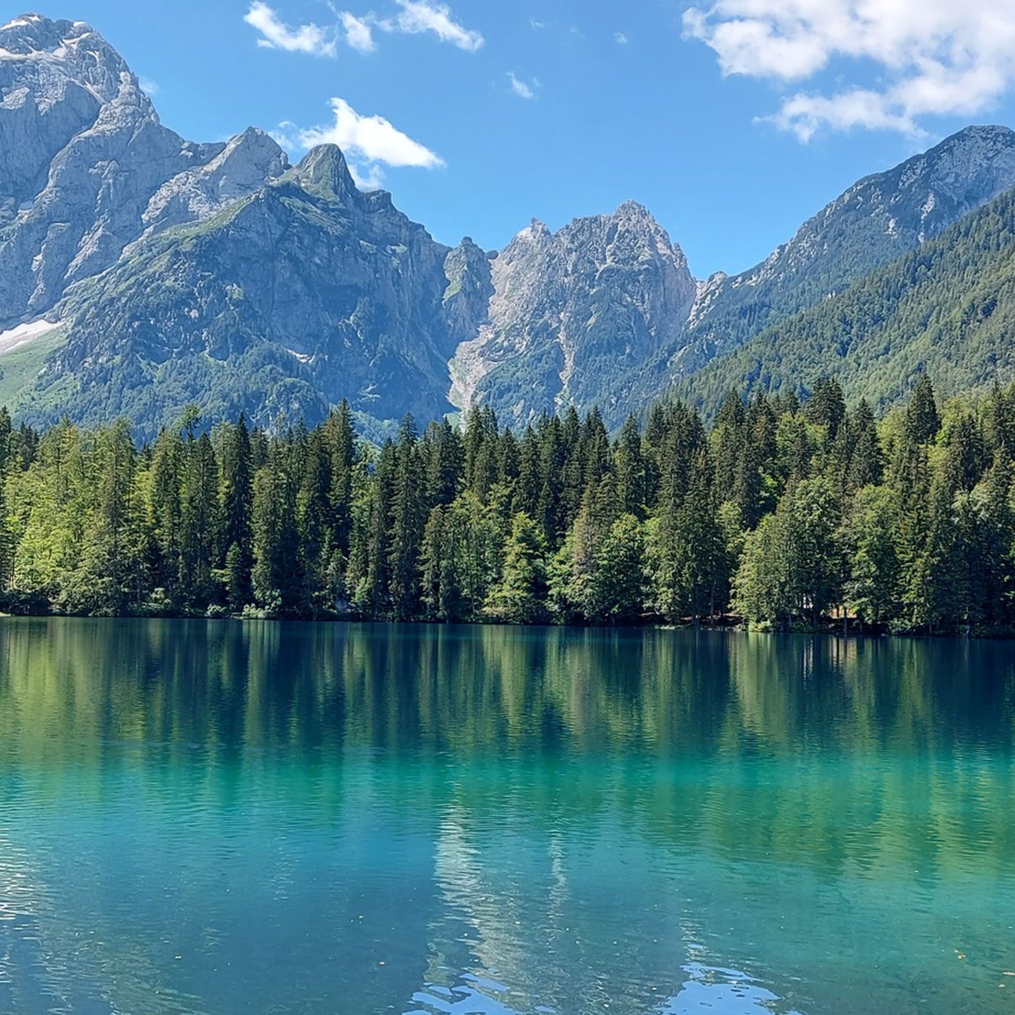
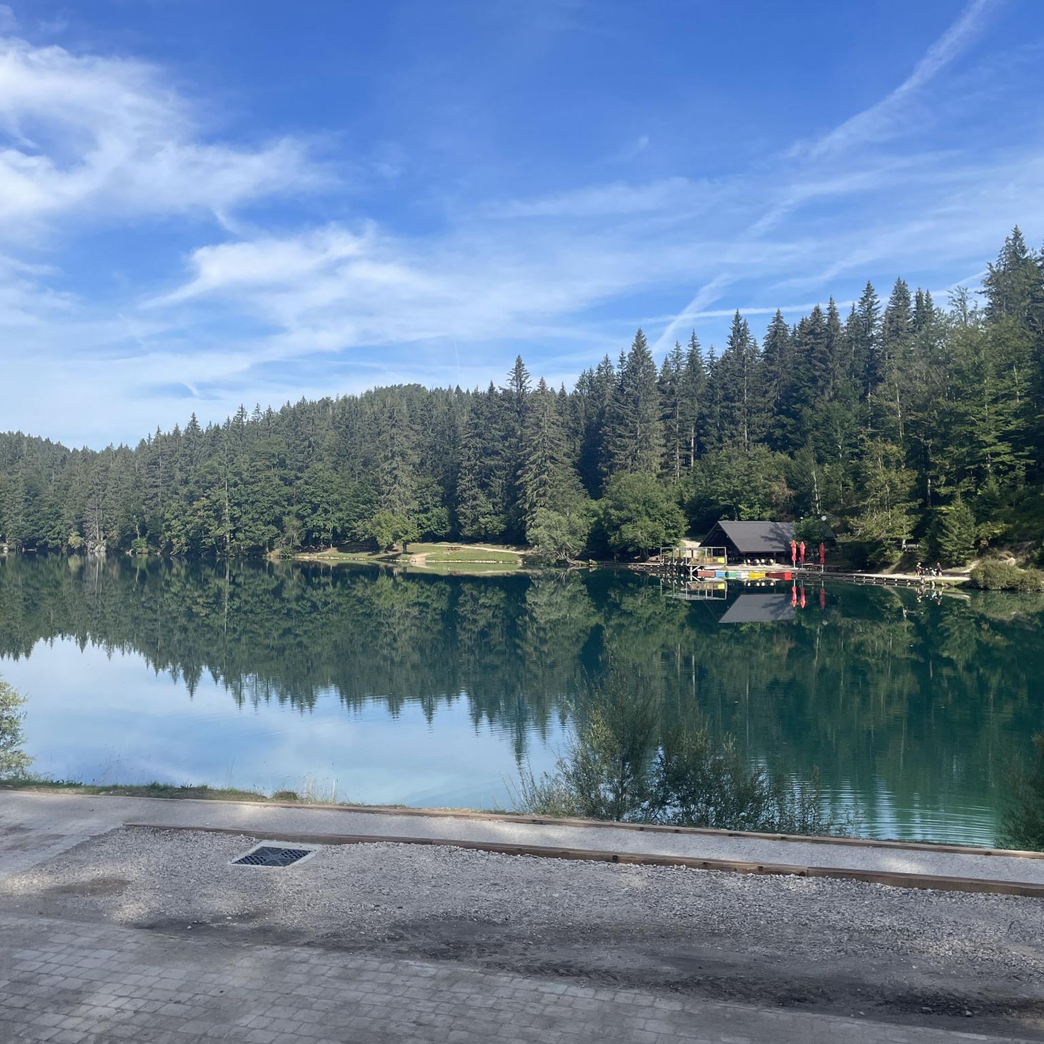
Mountaineering routes around Lake Fusine inferiore are set within a landscape characterized by two glacial lakes, surrounded by the Julian Alps. The terrain features a mix of dense woodlands, alpine meadows, and rugged mountain paths leading to various peaks and passes. This region offers diverse elevation changes, from lakeside trails to more challenging ascents towards mountain huts and summits.
Best mountaineering routes around Lake Fusine inferiore
- The most popular mountaineering route is Upper Fusine Lake – Luigi Zacchi Alpine Hut…
Last updated: July 6, 2026
4.0
(3)
55
hikers
Moderate mountaineering route. Good fitness required. Mostly accessible paths. Sure-footedness required.
5.0
(3)
18
hikers
Hard mountaineering route. Very good fitness required. Sure-footedness, sturdy shoes and alpine experience required.

Sign up for free
5.0
(1)
4
hikers
Hard mountaineering route. Very good fitness required. Sure-footedness, sturdy shoes and alpine experience required.
5
hikers
Hard mountaineering route. Good fitness required. Sure-footedness, sturdy shoes and alpine experience required.
5.0
(4)
42
hikers
20.1km
10:32
1,620m
1,620m
Hard mountaineering route. Very good fitness required. Sure-footedness, sturdy shoes and alpine experience required.
Get access to more routes and recommendations from other explorers.
Sign up for free
Already have an account?
Our route recommendations are based on thousands of hikes, rides, and runs completed by other people on komoot.
Start today with a free account
Your next adventure awaits.
Login or Signup

Tips from the Community

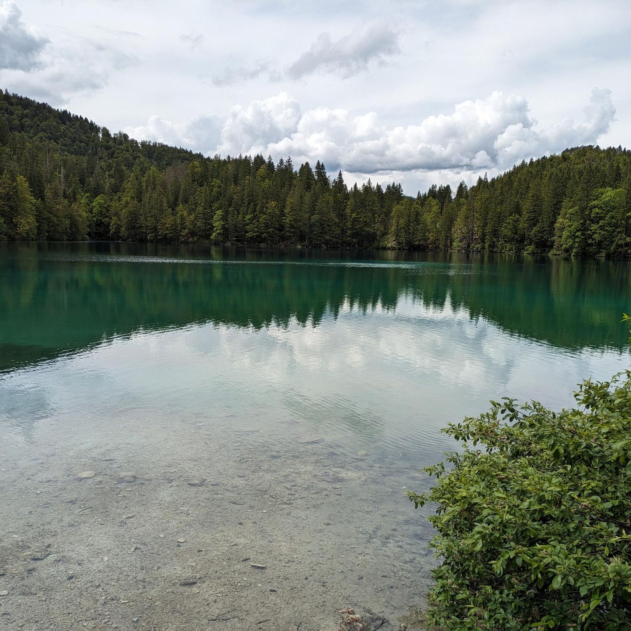
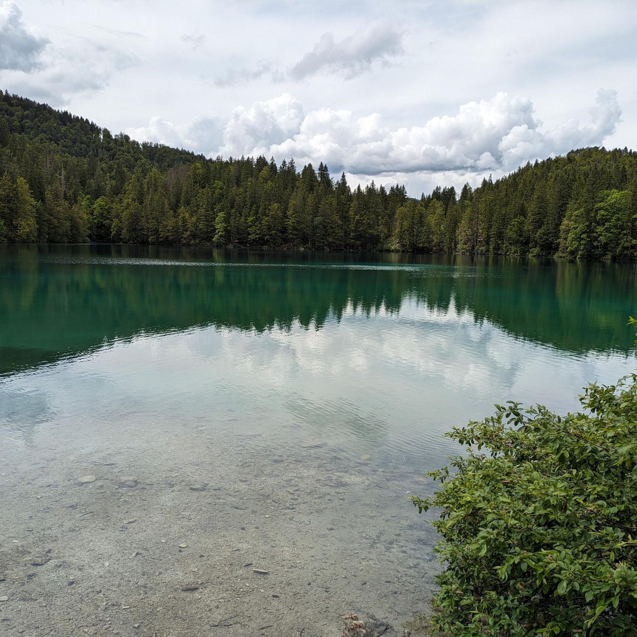
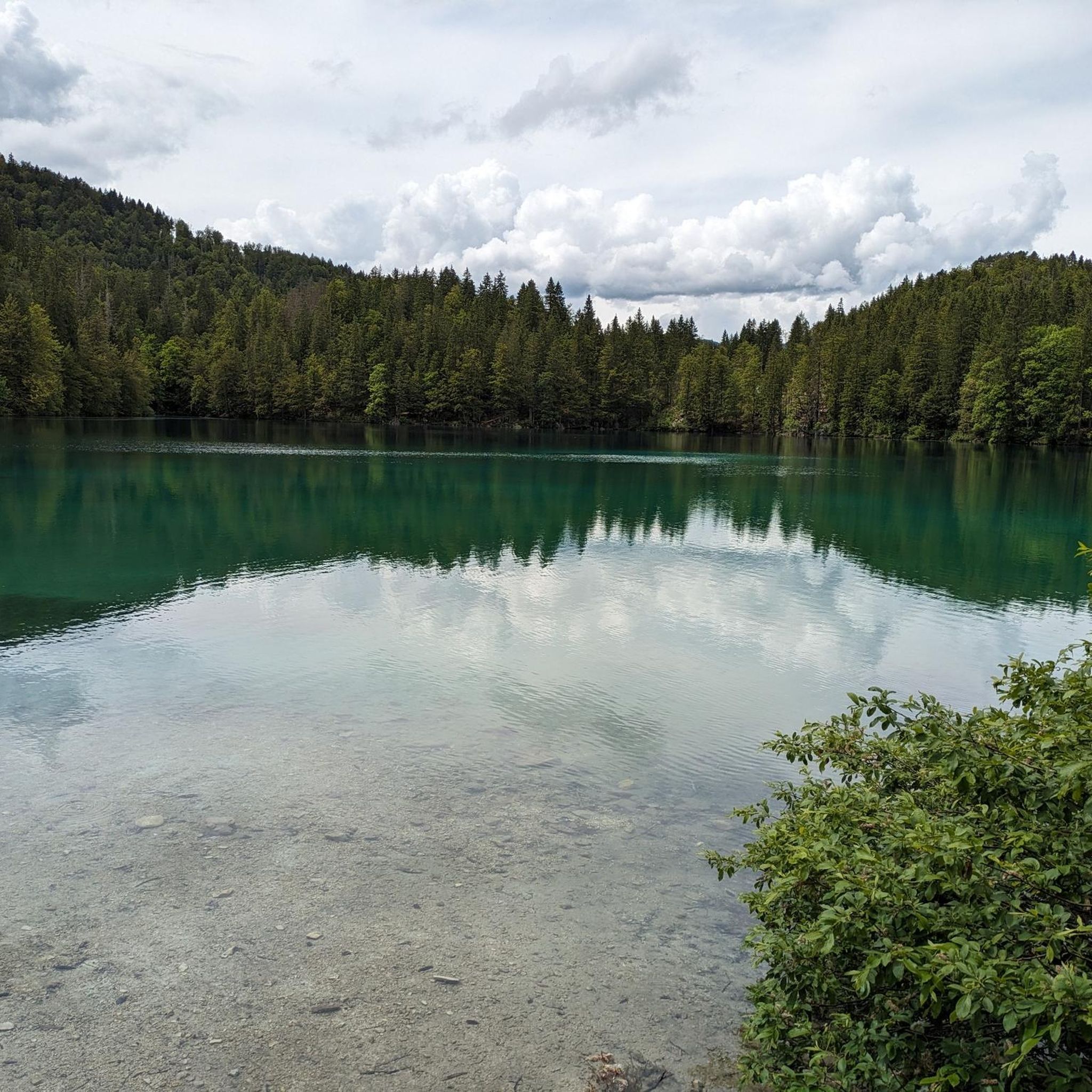
A beautiful charming lake with clear and clean water
2
0

A stunningly beautiful lake and a great trail.
0
0

The Fusine Lakes are a true paradise for photography enthusiasts. The clarity of the water, the shades of green and turquoise, and the perfect reflection of the mountains create scenes that seem unreal. Every corner offers a different composition: from the wooded shores to the expansive panoramas with the peaks mirrored in the water. The morning light is simply magical, bathing everything in soft, golden hues, while at sunset the atmosphere becomes more dramatic, ideal for impactful shots. A place that amazes in every season and that anyone who loves photography should visit at least once.
0
0

Stunning and passable today in the snow (21/11/2025)
0
0

...a very well-developed MTB forest trail with many beautiful views and a great place to stop for a break!
2
0
...a very well-developed MTB forest trail with many beautiful views and a great place to stop for a break!
3
0

In the off-season, access to both lakes is free; otherwise, it costs 5 euros by car.
0
0
Planica is a district of Rateče and the name of a valley in the Julian Alps in northwestern Slovenia, extending south from Rateče, not far from the famous winter sports resort of Kranjska Gora. It is known as a host of the Ski Flying World Championships. Further south in the valley lies Tamar, which can be reached in a 45-minute hike from the Planica parking lot at the end of the ski jumps and serves as a starting point for mountain hikes in Triglav National Park.
2
0
Frequently Asked Questions
How many mountaineering routes are available around Lake Fusine inferiore?
There are nearly 30 mountaineering routes around Lake Fusine inferiore, offering a wide range of experiences from moderate ascents to challenging high-alpine expeditions.
Are there any easy mountaineering routes suitable for beginners or families?
Yes, while many routes are challenging, there is at least one easy mountaineering route. For a more relaxed experience, consider the Lower Fusine Lake – Lago di Fusine Inferiore loop, which offers beautiful lakeside views with less elevation gain.
What is the best time of year for mountaineering in the Lake Fusine inferiore region?
The best time for mountaineering around Lake Fusine inferiore is typically from late spring through early autumn (May to October). During these months, the weather is generally more stable, and trails are free of snow, making for safer and more enjoyable conditions. Always check local weather forecasts before heading out.
Are there any circular mountaineering routes around Lake Fusine inferiore?
Many of the mountaineering routes in the area are designed as loops. For example, the popular Upper Fusine Lake – Luigi Zacchi Alpine Hut loop and the more challenging Upper Fusine Lake – Jôf di Montasio loop are both circular, allowing you to return to your starting point without retracing your steps.
What kind of views can I expect on mountaineering routes in this region?
Mountaineering routes around Lake Fusine inferiore offer stunning views of the two glacial lakes themselves, surrounded by the dramatic peaks of the Julian Alps. You'll also encounter dense woodlands, alpine meadows, and panoramic vistas from higher elevations, such as those found on the Upper Fusine Lake – Bivacco Alberto Busettini loop.
Are there any dog-friendly mountaineering trails around Lake Fusine inferiore?
Many trails in the Julian Alps, including those around Lake Fusine inferiore, are generally dog-friendly, provided dogs are kept on a leash, especially in protected areas or near livestock. Always ensure your dog is fit for the terrain and carry enough water for both of you. Specific restrictions may apply in certain nature reserves, so it's always good to check local signage.
Where can I find parking for mountaineering routes near Lake Fusine inferiore?
Parking is typically available near the main access points to the lakes, such as around Lago di Fusine superiore (Upper Fusine Lake) or Fusine in Valromana. These areas serve as common starting points for many mountaineering routes. Arriving early, especially during peak season, is advisable to secure a spot.
What are some interesting landmarks or attractions to see along the mountaineering routes?
Beyond the stunning natural beauty of the lakes and mountains, you can visit the Lago di Fusine Inferiore itself, or experience the Ascent through the Fusine Forest. For a break, the Belvedere Osteria at Lake Fusine offers refreshments.
What do other mountaineers enjoy most about the routes in Lake Fusine inferiore?
The area is highly rated by the komoot community, with an average score of 4.5 stars. Reviewers often praise the diverse terrain, from serene lakeside paths to challenging alpine ascents, and the breathtaking scenery of the Julian Alps and the glacial lakes.
How long do mountaineering routes around Lake Fusine inferiore typically take?
The duration of routes varies significantly based on difficulty and distance. Shorter, moderate loops like the Upper Fusine Lake – Luigi Zacchi Alpine Hut loop can take around 3 hours. More challenging routes, such as the La Porticina (Vratica) Pass – Luigi Zacchi Alpine Hut loop, can extend to 7.5 hours or more, depending on your pace and breaks.
Are there any options for food or drink near the trails after a mountaineering trip?
Yes, after your mountaineering adventure, you can find options for food and drink. The Belvedere Osteria at Lake Fusine is a convenient spot to relax and refuel, offering views of the lake.
Most popular routes around Lake Fusine inferiore
Most popular attractions around Lake Fusine inferiore

Get inspired with the komoot mobile app


Explore more
Browse the best Mountain Hikes & Routes in other regions.
