The best mountain hikes around Lake Santa Maria
5.0
(2)
17
hikers
3
hikes
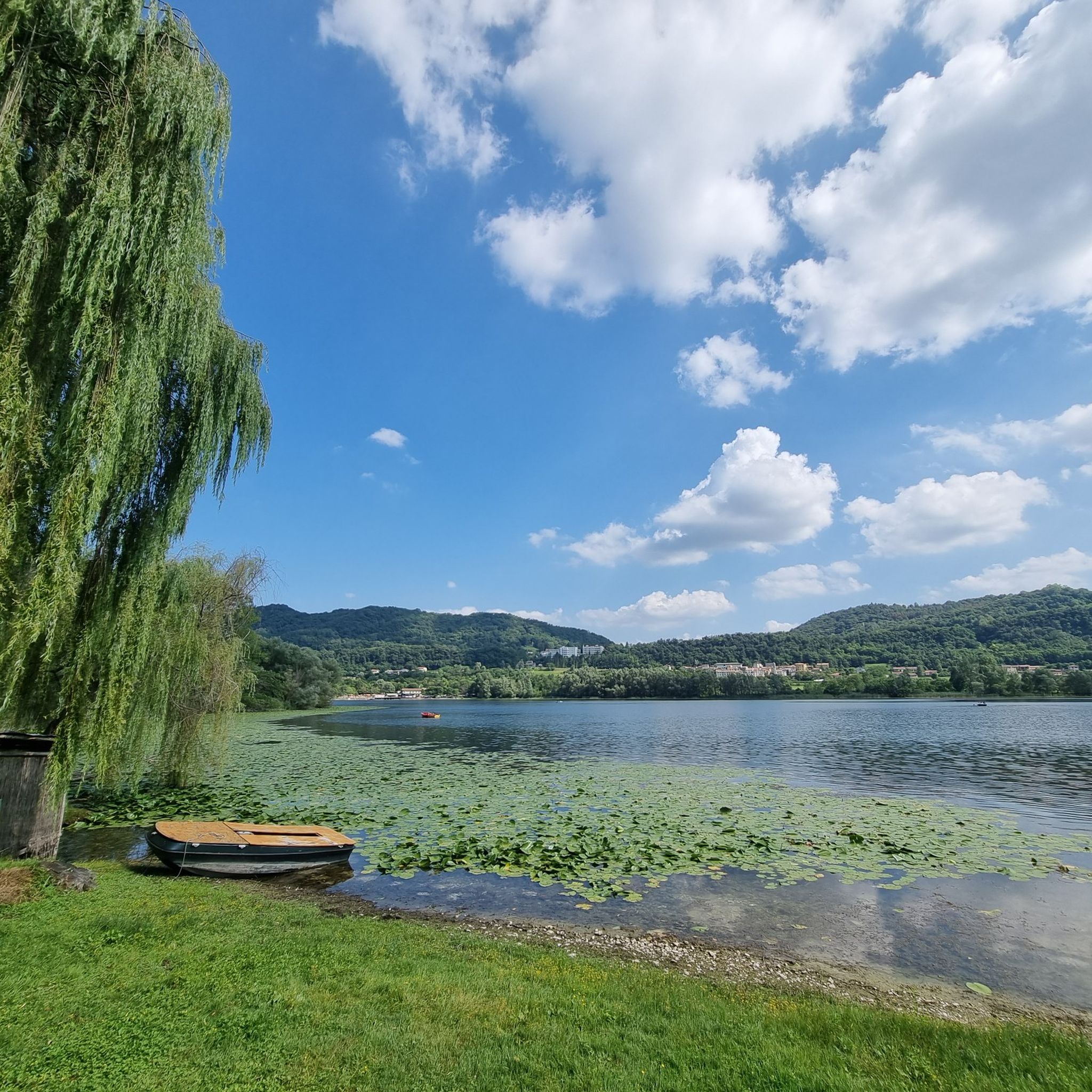
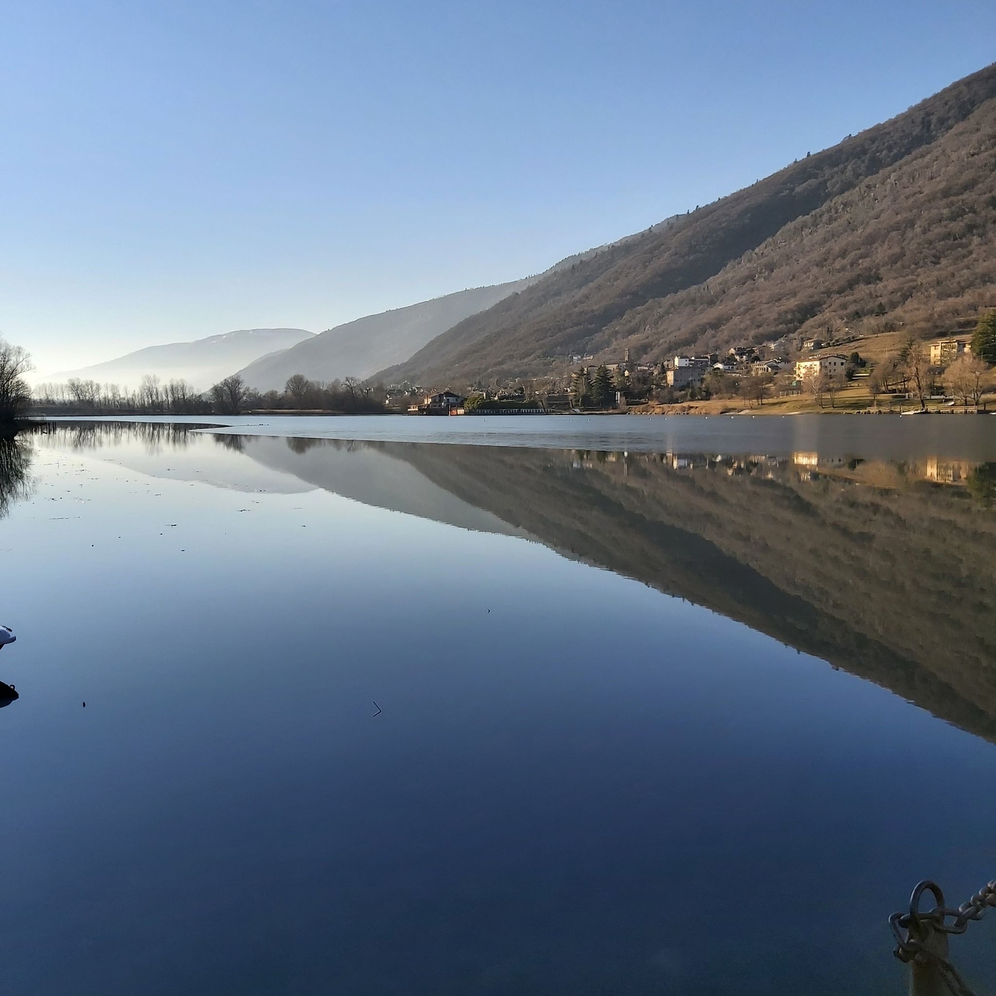
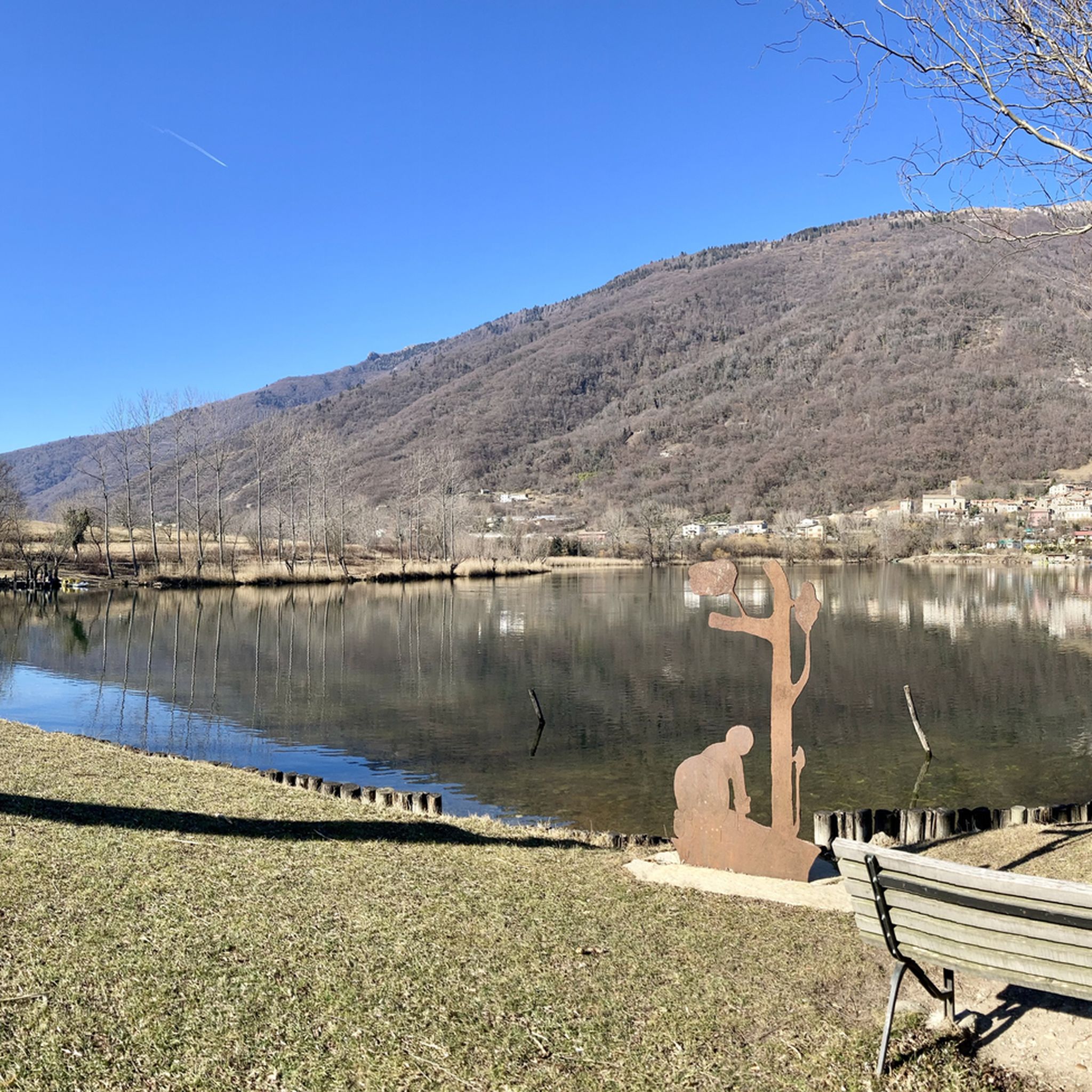
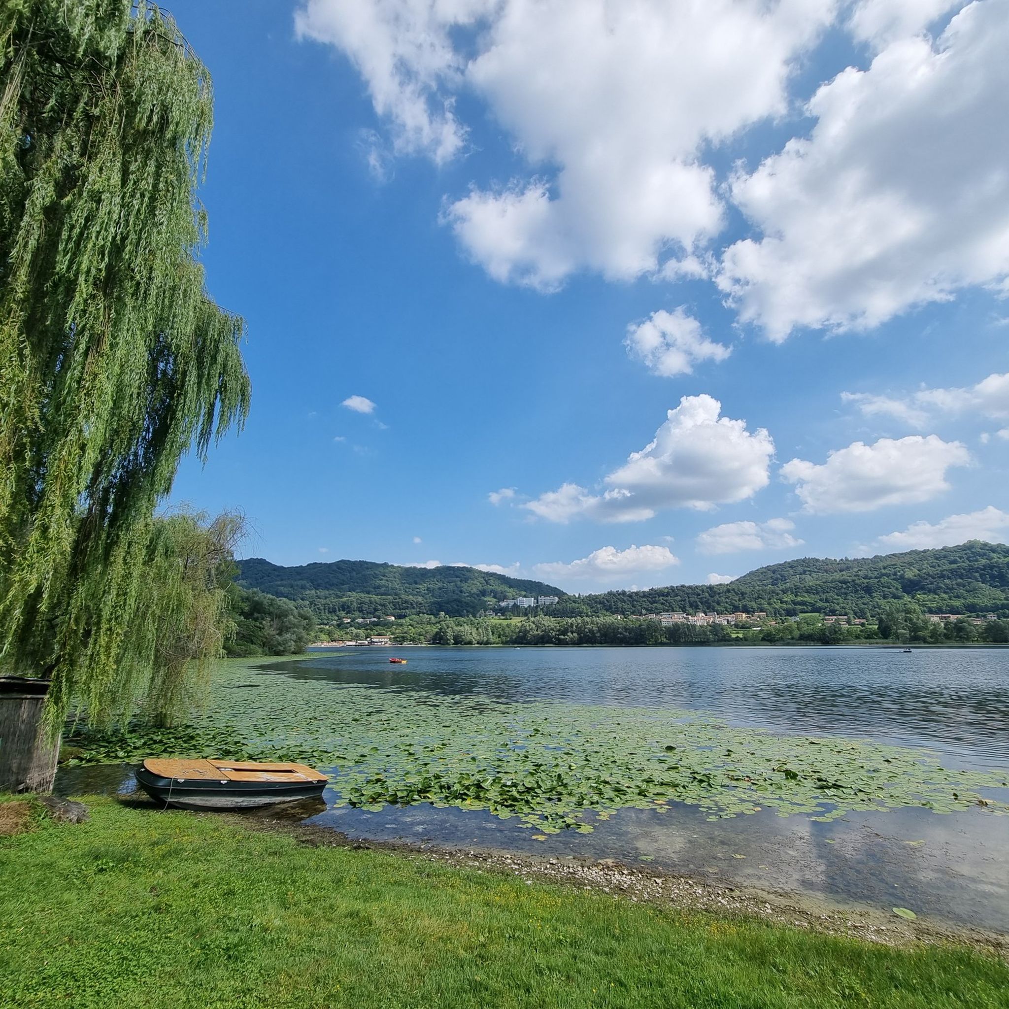
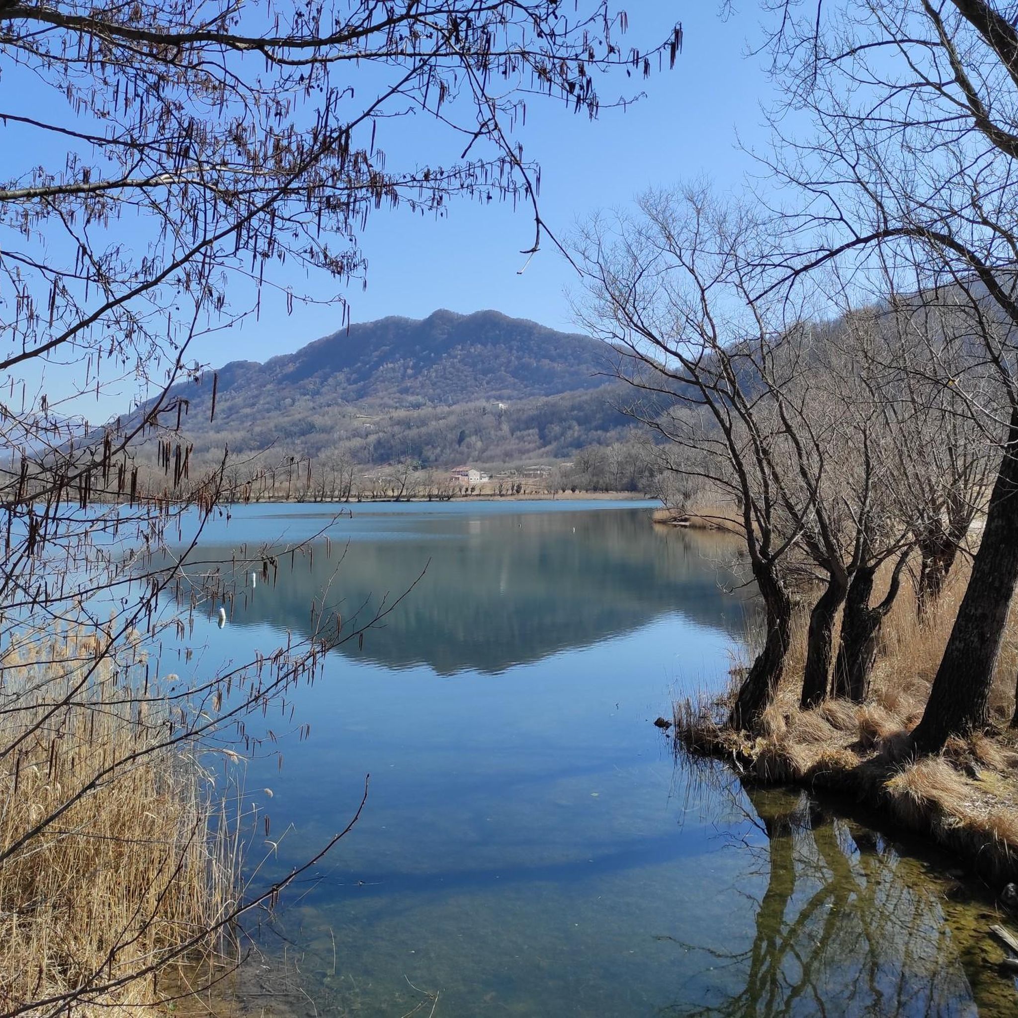
Mountaineering routes around Lake Santa Maria are situated in a region shaped by ancient glacial activity, featuring a diverse natural environment. The landscape includes marshland, peat bogs, and the Soligo River, offering varied terrain. Mountaineering here involves exploring areas with significant elevation changes and scenic views over the lakes and surrounding hills. The area provides a rich natural setting for outdoor activities, with paths winding through forests and along lake banks.
Best mountaineering routes around Lake Santa Maria
- The most…
Last updated: July 5, 2026
5.0
(1)
11
hikers
9.90km
03:39
560m
560m
Moderate mountaineering route. Good fitness required. Mostly accessible paths. Sure-footedness required.
5.0
(1)
3
hikers
5.24km
01:46
220m
220m
Moderate mountaineering route. Great for any fitness level. Mostly accessible paths. Sure-footedness required.

Sign up for free
3
hikers
9.44km
05:33
980m
980m
Hard mountaineering route. Very good fitness required. Sure-footedness, sturdy shoes and alpine experience required.
Our route recommendations are based on thousands of hikes, rides, and runs completed by other people on komoot.
Start today with a free account
Your next adventure awaits.
Login or Signup

Tips from the Community

The summit of Passo San Boldo between the provinces of Treviso and Belluno.
11
0

There is no second time. Built in 100 days.
3
0

The Bivacco Marsini, also known as Casinet de Och, is a cozy refuge located at 370 meters above sea level on the hills of Refrontolo, in the heart of the Prosecco hills of Treviso. Restored from an old rural stone structure thanks to the commitment of volunteers, it offers a ground floor with a stove and a wooden loft for rest, as well as an outdoor area equipped with tables and a barbecue that offers a splendid panoramic view. The most frequented itinerary to reach it starts from the suggestive Molinetto della Croda and develops along an easy loop of about 8 kilometers with 300 meters of elevation gain, walkable in just over two hours via the CAI 1050 trail. This excursion, suitable for everyone and accessible in every season, perfectly combines nature, local history, and beautiful hilly views, representing the ideal destination for a relaxing half-day outing.
0
0


Panoramic summit, easily reachable from the Loff bivouac.
0
0

Besides being a beautiful climb, it is a masterpiece of road engineering.
3
0

Unique road/tunnel layout with traffic lights, meaning it can also be driven uphill safely as the sections are short
3
0
Frequently Asked Questions
What is the general difficulty level of mountaineering routes around Lake Santa Maria?
The mountaineering routes around Lake Santa Maria are generally classified as moderate. They involve significant elevation changes and varied terrain, making them suitable for those with a reasonable level of fitness and some hiking experience. For example, the Sella di Pian de le Femene loop from Revine covers 6.3 miles with over 840 meters of elevation gain.
Are there circular mountaineering routes available around Lake Santa Maria?
Yes, all the featured mountaineering routes around Lake Santa Maria are circular, offering convenient starting and ending points. You can enjoy loops such as the San Boldo Pass – Loff Bivouac loop from San Boldo or the Bivacco dei Loff – Crodon del Gevero loop from Bosco delle Penne Mozze, allowing you to experience diverse scenery without retracing your steps.
When is the best time of year to go mountaineering around Lake Santa Maria?
The best time for mountaineering around Lake Santa Maria is typically from late spring through early autumn. During these months, the weather is generally more stable, and the trails are clear of snow, allowing for optimal enjoyment of the region's rich natural environment, including its marshlands and peat bogs. The area's glacial origins mean winter can bring snow and colder conditions, making some routes more challenging.
Are there family-friendly mountaineering options near Lake Santa Maria?
While all listed routes are moderate, some are shorter and could be considered for active families with older children. For instance, the Molinetto della Croda loop from Refrontolo is a shorter option at 3.3 miles, offering a taste of the region's varied terrain and views. Always assess your family's fitness and experience before embarking on any route.
Can I bring my dog on mountaineering trails around Lake Santa Maria?
Generally, dogs are permitted on trails in this region of Italy, often requiring them to be on a leash. However, it's always advisable to check local regulations or specific trail signage before heading out, as rules can vary, especially in protected natural areas. Ensure your dog is well-behaved and capable of handling the moderate difficulty and elevation changes of these routes.
What kind of wildlife might I encounter on the mountaineering trails?
The region around Lake Santa Maria, with its marshlands, peat bogs, and diverse forests, supports a variety of flora and fauna. While specific sightings are never guaranteed, you might encounter various bird species, small mammals, and unique plant life adapted to the glacial lake environment. Keep an eye out for signs of local wildlife as you traverse the paths.
What do other mountaineers enjoy the most about mountaineering in Lake Santa Maria?
The mountaineering routes around Lake Santa Maria are highly rated by the komoot community, with an average score of 5.0 stars. Reviewers often praise the breathtaking views over the lakes and surrounding hills, the diverse forest paths, and the significant elevation changes that provide a rewarding challenge. The well-maintained trails and the serene natural environment are frequently highlighted as key attractions.
Are there any shorter mountaineering routes for a quicker outing?
Yes, if you're looking for a shorter mountaineering experience, the Molinetto della Croda loop from Refrontolo is a good option. It's approximately 3.3 miles (5.2 km) long and offers a moderate challenge with varied scenery, making it suitable for a quicker, yet rewarding, adventure.
What are the typical distances and elevation gains for mountaineering routes here?
The mountaineering routes around Lake Santa Maria vary in length from about 3.3 miles (5.2 km) to 6.3 miles (10.1 km). Elevation gains typically range from around 220 meters to over 840 meters, providing a good workout and panoramic views. For example, the Bivacco dei Loff – Crodon del Gevero loop from Bosco delle Penne Mozze involves nearly 790 meters of ascent over 4.9 miles.
Are there any specific natural features or landmarks to look out for on the trails?
The region is characterized by its ancient glacial origins, so you'll encounter a rich natural environment including marshland and peat bogs. The Soligo River, a tributary of the Piave River, also flows from Lake Santa Maria, contributing to the area's biodiversity. Public parks like the “Va dee femene” area offer pleasant walks among reeds along the lake banks, providing scenic points of interest.
How many mountaineering routes are available in the Lake Santa Maria area?
There are at least four distinct mountaineering routes available in the Lake Santa Maria area, each offering a moderate challenge and unique perspectives of the glacial lake landscapes and diverse forest paths. These routes provide a good range of options for exploring the region's natural beauty.
Most popular routes around Lake Santa Maria
Most popular attractions around Lake Santa Maria

Get inspired with the komoot mobile app


Explore more
Browse the best Mountain Hikes & Routes in other regions.
