The best mountain hikes around Lake Molveno
4.8
(103)
690
hikers
31
hikes
Mountaineering around Lake Molveno is centered in the Trentino region of Italy, set against the dramatic backdrop of the Brenta Dolomites, a UNESCO World Heritage site, and the Paganella Massif. The area is characterized by towering peaks, extensive rock climbing areas, and numerous via ferratas, all within the Adamello Brenta Nature Park. The clear waters of Lake Molveno reflect the surrounding mountains, providing a base for alpine ascents and high-altitude trails.
Best mountaineering routes around Lake Molveno
- The most popular…
Last updated: October 9, 2026
5.0
(4)
21
hikers
15.0km
06:22
920m
930m
Hard mountaineering route. Very good fitness required. Sure-footedness, sturdy shoes and alpine experience required.
2.7
(3)
21
hikers
13.6km
04:52
700m
700m
Moderate mountaineering route. Good fitness required. Mostly accessible paths. Sure-footedness required.

4.7
(3)
13
hikers
8.29km
03:48
580m
580m
Hard mountaineering route. Good fitness required. Sure-footedness, sturdy shoes and alpine experience required.
5.0
(3)
7
hikers
6.54km
03:16
540m
530m
Hard mountaineering route. Good fitness required. Sure-footedness, sturdy shoes and alpine experience required.
7
hikers
9.76km
03:31
550m
550m
Hard mountaineering route. Good fitness required. Sure-footedness, sturdy shoes and alpine experience required.
Get access to more routes and recommendations from other explorers.
Already have an account?
Our route recommendations are based on thousands of hikes, rides, and runs completed by other people on komoot.
Start today with a free account
Your next adventure awaits.
Popular around Lake Molveno
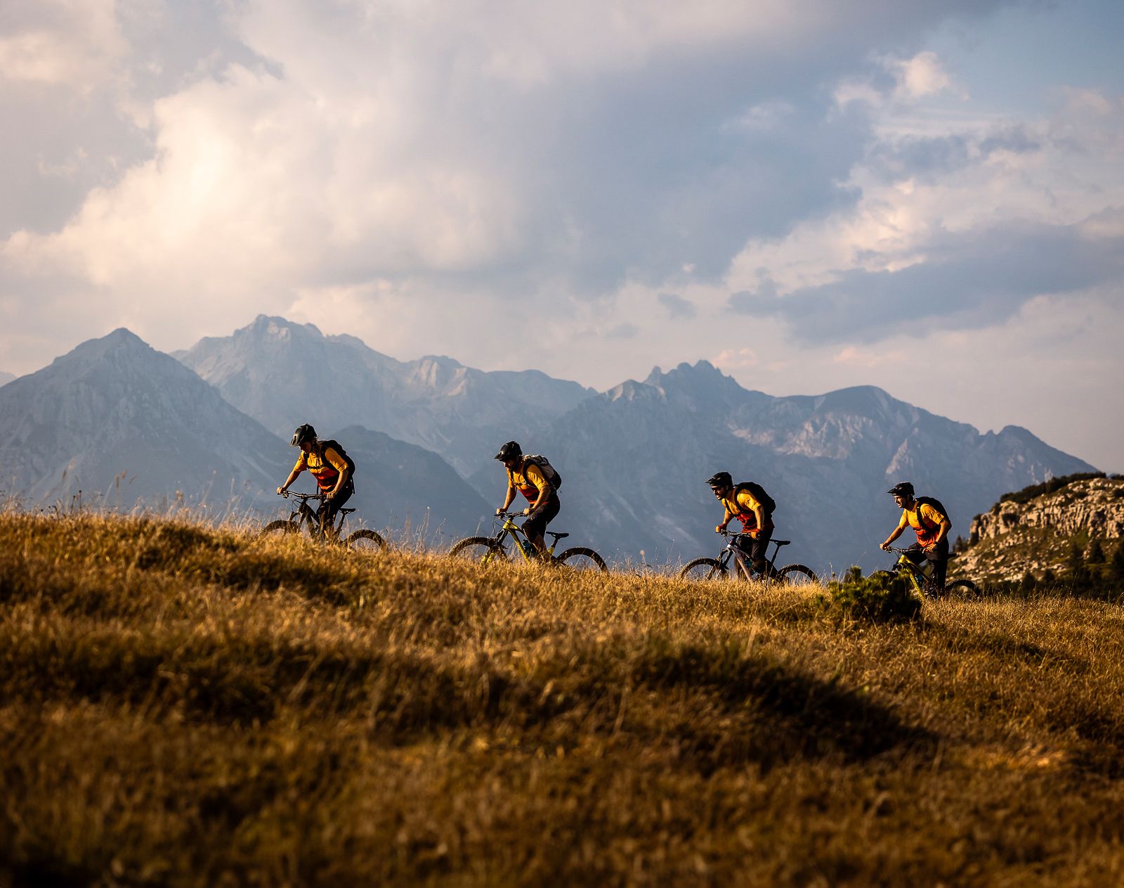
Trails and vineyards in the Dolomiti Paganella Bike Area
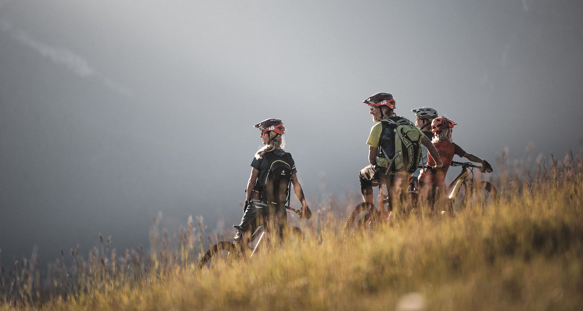
MTB fun for all ages in the Dolomiti Paganella in Italy
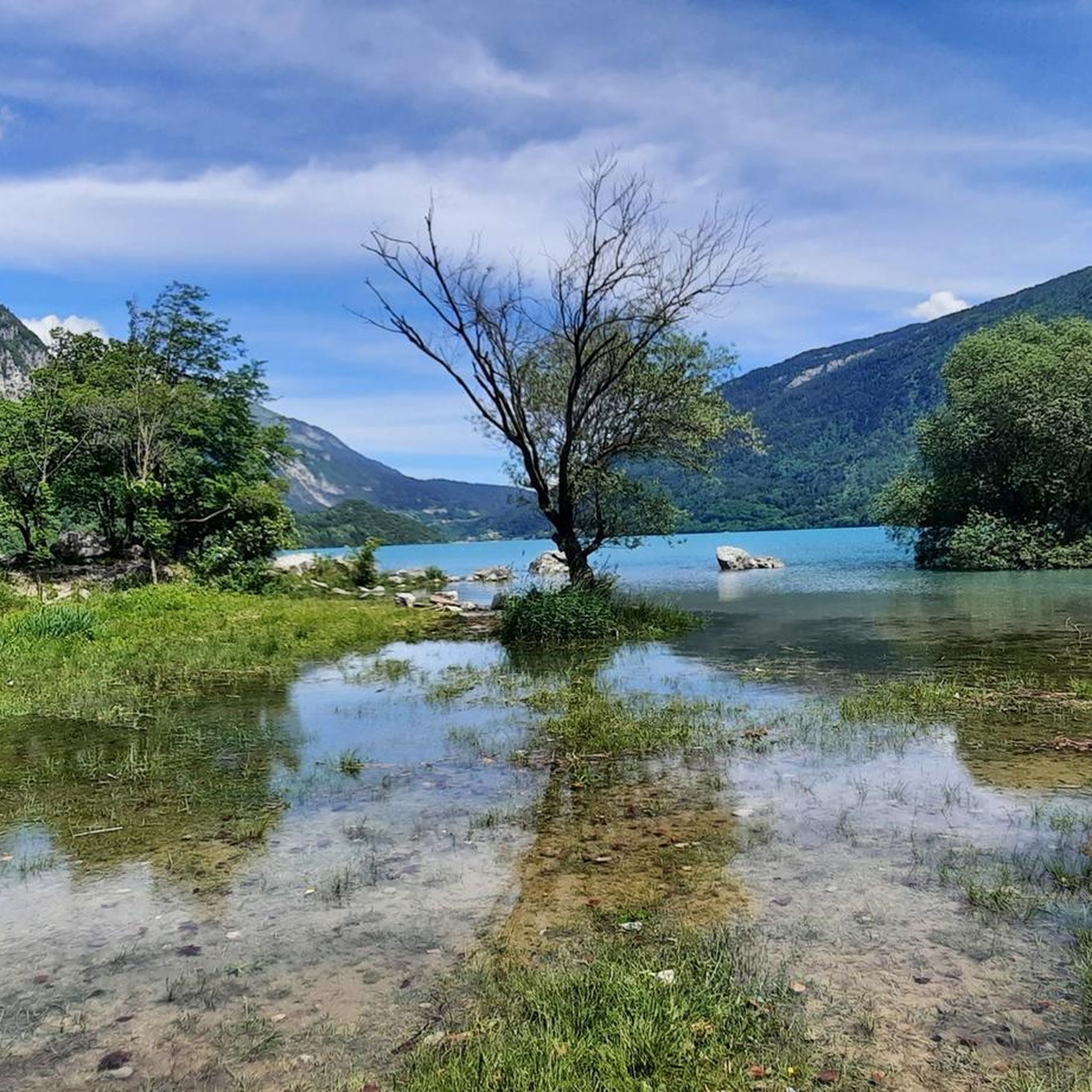
MTB Trails around Lake Molveno
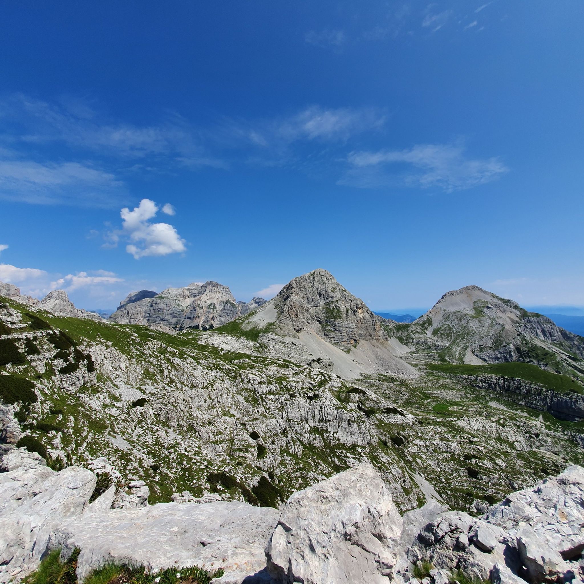
Hiking around Lake Molveno
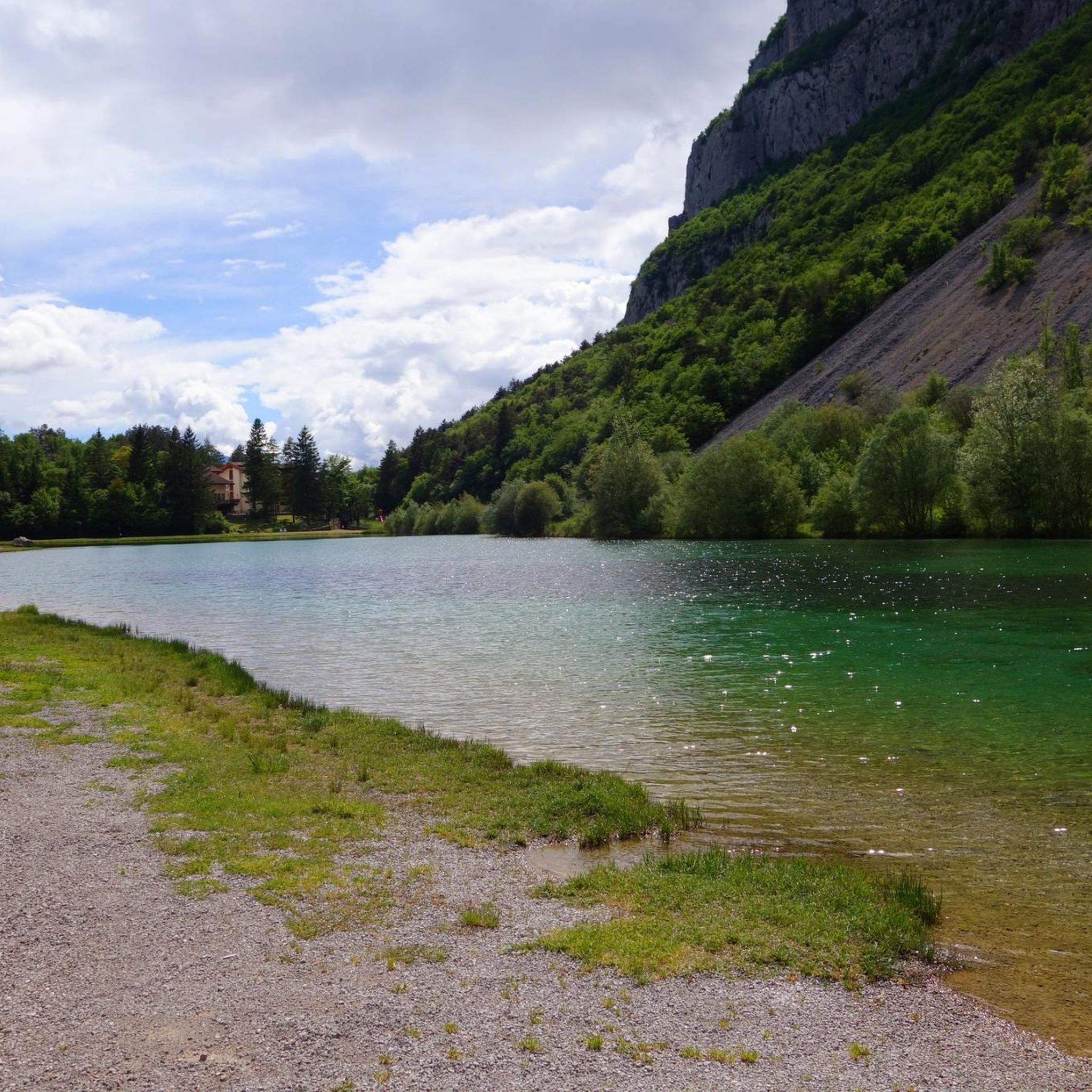
Cycling around Lake Molveno
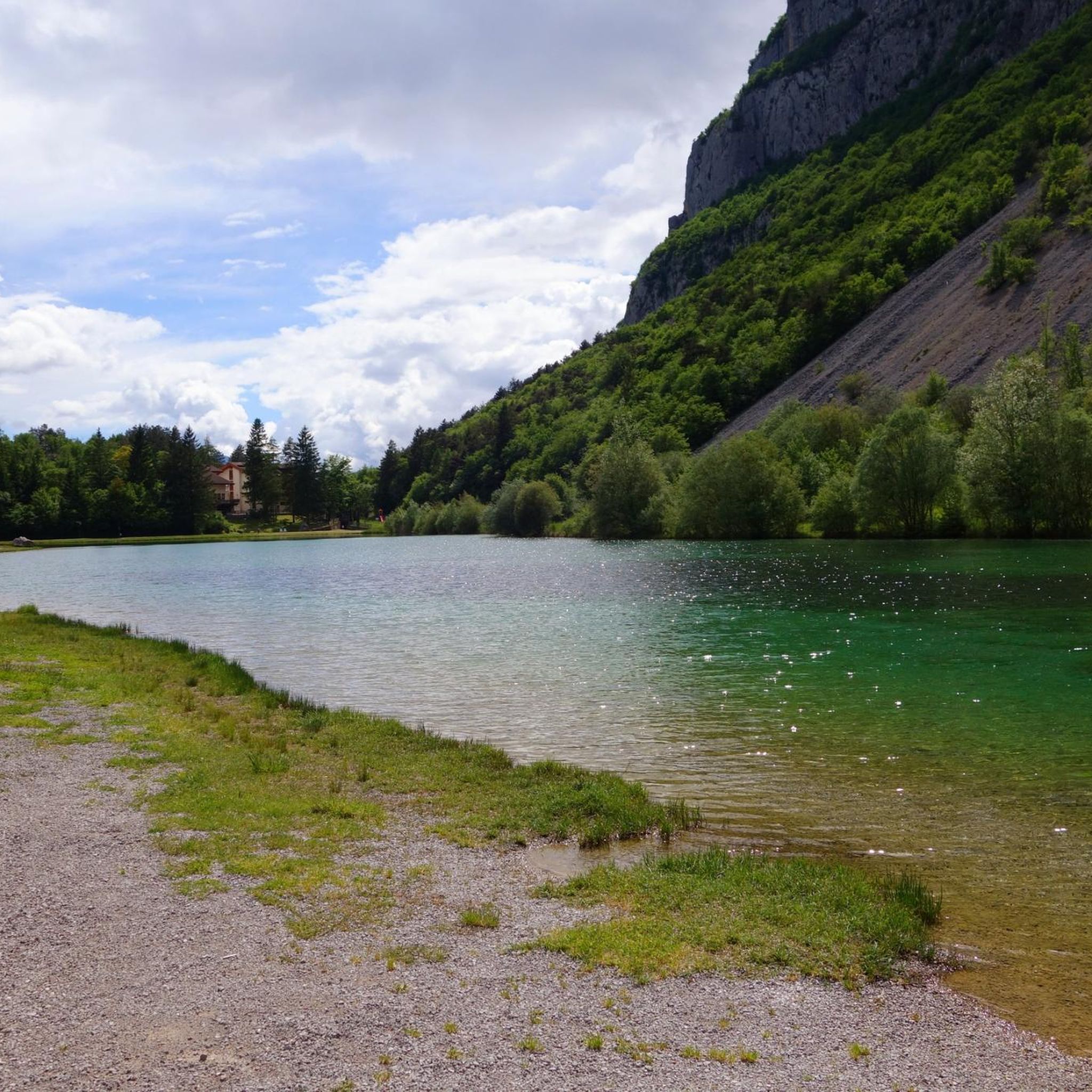
Running Trails around Lake Molveno
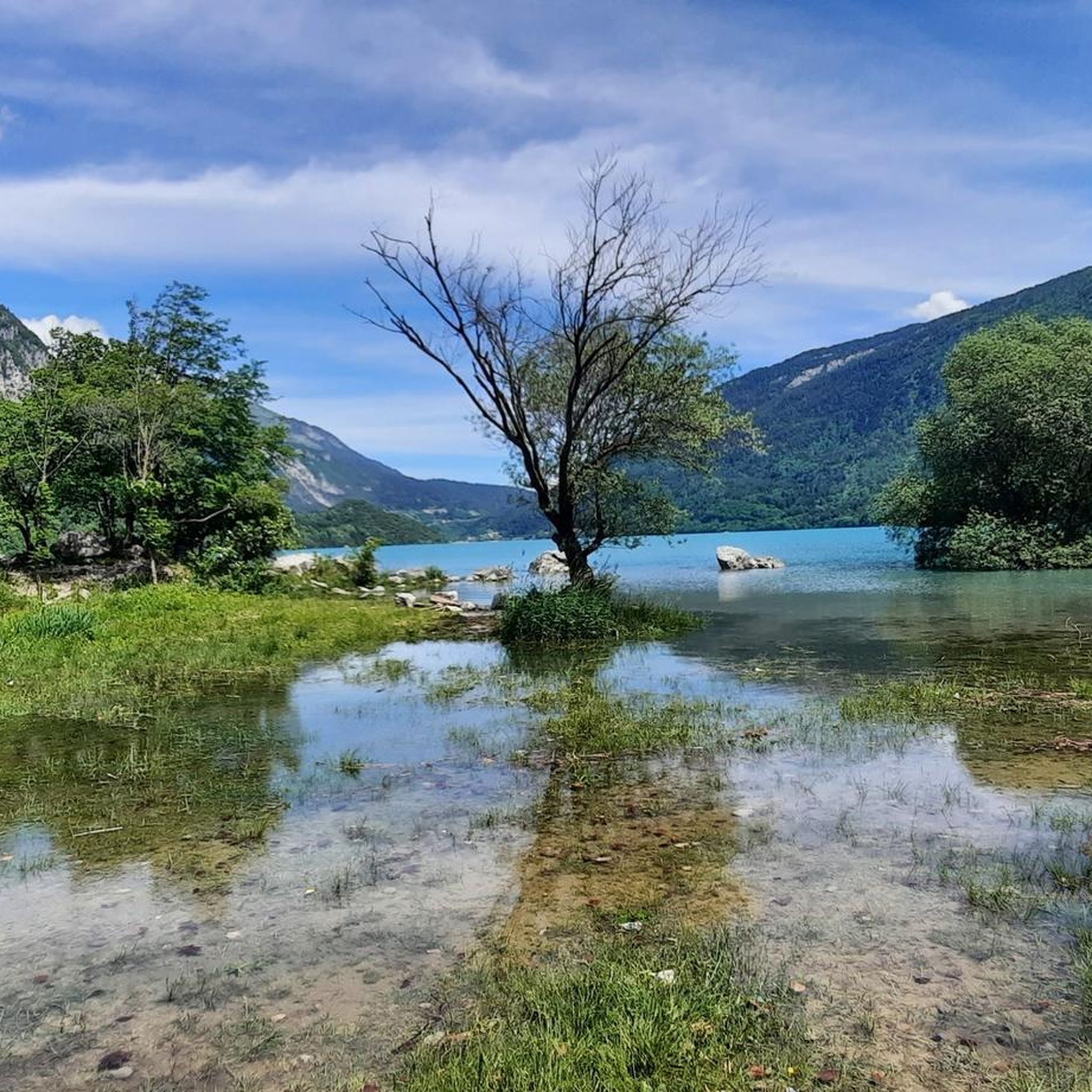
Road Cycling Routes around Lake Molveno

Gravel biking around Lake Molveno

Tips from the Community

Beautiful view of the lake and for bike lovers the start of the trails
0
0
Beautiful lake nestled in a wonderful landscape.
0
0

Sure-footedness
0
0

towards malga Andalo Mtb muscular
0
0

Quiet spot with a magnificent panorama, a great place for a break if you plan to continue climbing to the highest refuges in the Brenta Dolomites. Also excellent as a transit point for the Molveno, Pradel, Rifugio Croz dell'Altissimo, Selvata, Rifugio Malga Andalo loop.
0
0

tolle Tour zum Rifugio Croz dell` Altissimo
1
0

Here you have a great view of Lake Molveno and the campsite
0
0
Frequently Asked Questions
How many mountaineering routes are available around Lake Molveno?
There are over 35 mountaineering routes around Lake Molveno, catering to various skill levels. You'll find a mix of moderate and difficult ascents, with 5 moderate routes and 33 difficult routes listed in the area.
Are there any easy or beginner-friendly mountaineering routes near Lake Molveno?
While most routes are considered difficult, there are a few moderate options suitable for those with some experience or looking for a less strenuous ascent. For example, the Rifugio Croz dell'Altissimo loop from Molveno is a moderate 8.1-mile (13.0 km) path that offers panoramic views without extreme technical challenges. Another moderate option is the View of Lake Molveno – Lake Molveno loop from Molveno, which is 6.6 miles (10.6 km) long and provides beautiful lake views.
What kind of climbing routes are available in the Molveno Dolomites?
The Molveno area, set against the Brenta Dolomites, is a significant hub for climbing. It boasts five distinct rock climbing areas and a bouldering area, offering over 200 traditional and sport climbing routes. These cater to a wide range of abilities, from beginner-friendly crags to challenging ascents on iconic peaks like Cima Tosa and Campanil Basso. The region is also famous for its numerous via ferratas, including the renowned Bocchette Centrali.
What is the best time of year for mountaineering around Lake Molveno?
The best time for mountaineering around Lake Molveno is typically from late spring through early autumn (May to October). During these months, the weather is generally more stable, and the trails are clear of snow, making for safer and more enjoyable ascents. Winter offers opportunities for snowshoeing and skiing on the Paganella plateau, but mountaineering conditions can be challenging and require specialized gear and experience.
Are there any circular mountaineering routes around Lake Molveno?
Yes, several routes offer a circular experience, allowing you to start and end in the same location. A popular choice is the Rifugio Croz dell'Altissimo – Rifugio Selvata loop from Molveno, a difficult 9.5-mile (15.3 km) trail connecting prominent mountain huts. Another option is the moderate Rifugio Croz dell'Altissimo loop from Molveno.
What unique geological features can I expect to see while mountaineering in Molveno?
Mountaineering in Molveno offers breathtaking views of the Brenta Dolomites, a UNESCO World Heritage site, known for its dramatic limestone formations and towering peaks. You'll encounter impressive rock faces, deep valleys, and the clear, reflective waters of Lake Molveno itself, all within the Adamello Brenta Nature Park. The landscape is characterized by its alpine grandeur and unique geological structures.
What can I see along the mountaineering routes around Lake Molveno?
Many routes offer stunning natural and historical sights. You might encounter waterfalls, such as those near the Rio Massodi Waterfall – Rifugio Bivacco Italia loop from Molveno. Other points of interest include the Roman Bridge and Waterfall, and various scenic trails like the Trail on the east shore or the Lakeside Trail, offering continuous views of the lake and mountains.
Are there any permits required for mountaineering in the Molveno area?
Generally, permits are not required for hiking and mountaineering on established trails in the Adamello Brenta Nature Park. However, for specific climbing routes or via ferratas, it's always advisable to check local regulations. For detailed information on climbing and access, you can consult resources like visitmolveno.it/en/climbing.
What do other mountaineers enjoy most about the routes in Lake Molveno?
The mountaineering routes around Lake Molveno are highly rated by the komoot community, with an average score of 4.8 stars from over 100 reviews. Mountaineers frequently praise the dramatic views of the Brenta Dolomites, the well-maintained trails, and the opportunities to visit prominent mountain huts like Rifugio Croz dell'Altissimo. The clear waters of Lake Molveno reflecting the surrounding peaks also contribute to the area's appeal.
How long do mountaineering routes around Lake Molveno typically take?
The duration of mountaineering routes varies significantly based on difficulty and distance. Moderate routes, such as the View of Lake Molveno – Lake Molveno loop from Molveno, can take around 2 hours 55 minutes. More challenging routes, like the Rifugio Croz dell'Altissimo – Rifugio Selvata loop from Molveno, typically require about 6 hours 22 minutes to complete. The most difficult ascents, such as the View of Andalo – Piz Galin loop from Molveno, can take over 7 hours.
Are there any options for family-friendly mountaineering or hiking near Lake Molveno?
While many mountaineering routes are challenging, the broader Molveno area offers family-friendly hiking options. The scenic circuit around Lake Molveno itself is a popular and relatively easy walk. The Pradel plateau, accessible via cable car from Molveno, provides access to easier trails and stunning panoramic views, making it a great starting point for families to explore the alpine environment without extensive climbing.
Where can I find parking and trailheads for mountaineering routes in Molveno?
Molveno serves as a primary starting point for many routes into the Brenta Dolomites. Parking is generally available in and around the town of Molveno. Many alpine routes, including those leading to mountain huts like Rifugio Croz dell'Altissimo, begin after a comfortable walk from the Pradel cable car station, which itself is easily accessible from Molveno. Specific trailhead information is often detailed on individual route descriptions.
Most popular routes around Lake Molveno
Most popular attractions around Lake Molveno

Get inspired with the komoot mobile app


Explore more
Browse the best Mountain Hikes & Routes in other regions.
