The best mountain hikes around Lake San Colombano
4.8
(65)
542
hikers
7
hikes
Mountaineering routes around Lake San Colombano traverse varied mountainous terrain within Trentino. The region features a network of trails that lead through forests, past sanctuaries, and up to mountain refuges. These routes often include ascents to panoramic viewpoints and can involve significant elevation changes. The landscape provides a range of conditions suitable for different levels of mountaineering experience.
Best mountaineering routes around Lake San Colombano
- The most popular mountaineering route is Case di Pietra – Rifugio Vincenzo Lancia loop from…
Last updated: July 6, 2026
6
hikers
12.6km
04:39
660m
660m
Moderate mountaineering route. Good fitness required. Mostly accessible paths. Sure-footedness required.
4.9
(27)
279
hikers
4.85km
02:24
430m
430m
Moderate mountaineering route. Good fitness required. Mostly accessible paths. Sure-footedness required.

Sign up for free
4
hikers
5.28km
02:41
440m
440m
Hard mountaineering route. Good fitness required. Sure-footedness, sturdy shoes and alpine experience required.
4.3
(4)
7
hikers
10.9km
05:12
770m
770m
Hard mountaineering route. Very good fitness required. Mostly accessible paths. Sure-footedness required.
5.0
(1)
3
hikers
11.2km
04:36
680m
680m
Hard mountaineering route. Good fitness required. Sure-footedness, sturdy shoes and alpine experience required.
Get access to more routes and recommendations from other explorers.
Sign up for free
Already have an account?
Our route recommendations are based on thousands of hikes, rides, and runs completed by other people on komoot.
Start today with a free account
Your next adventure awaits.
Login or Signup
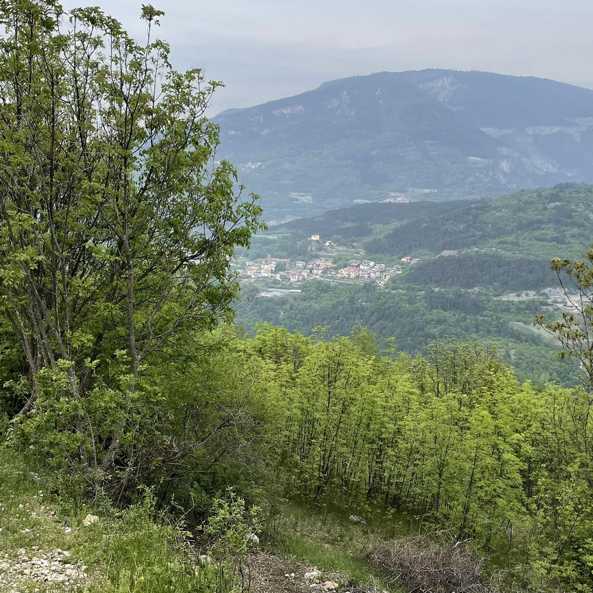
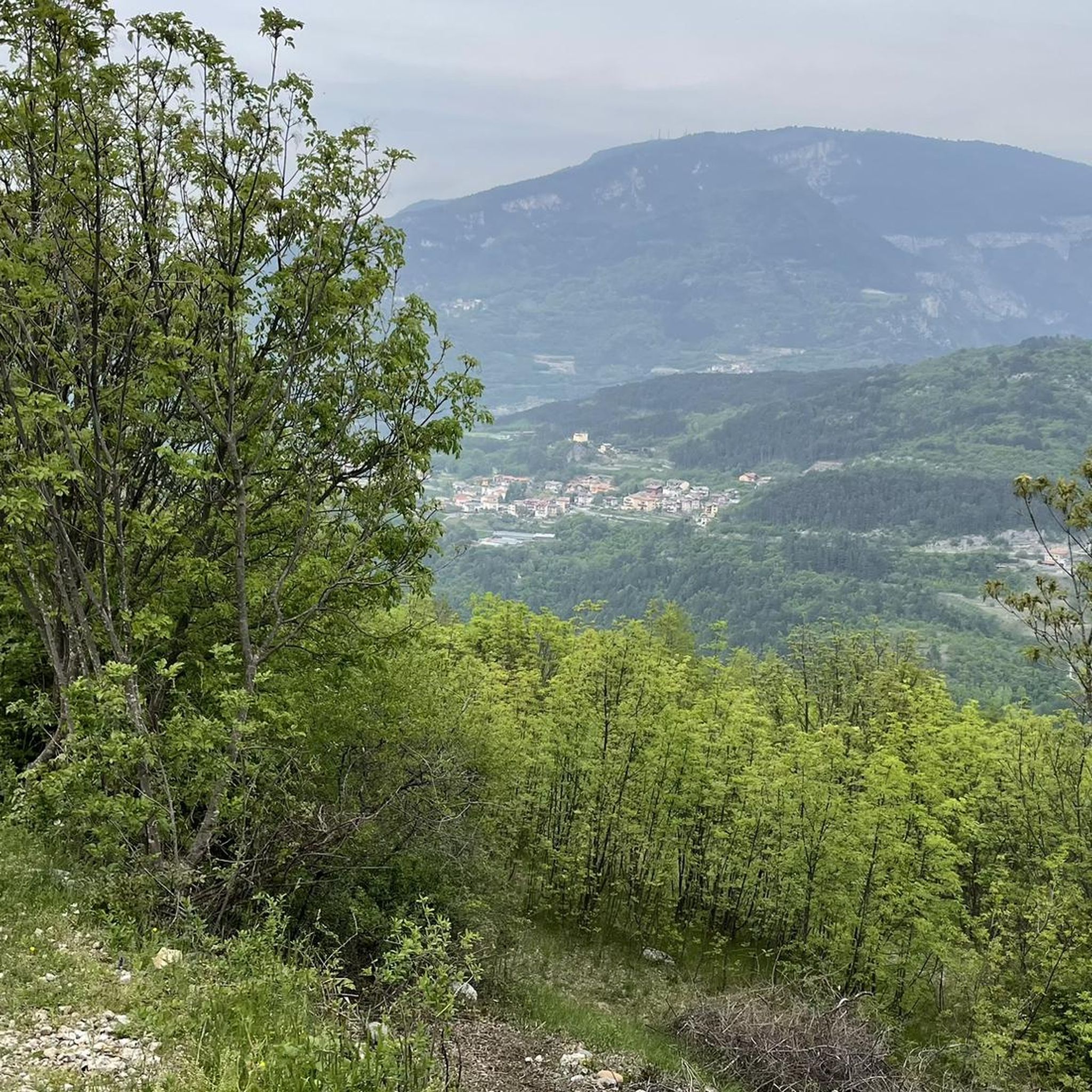
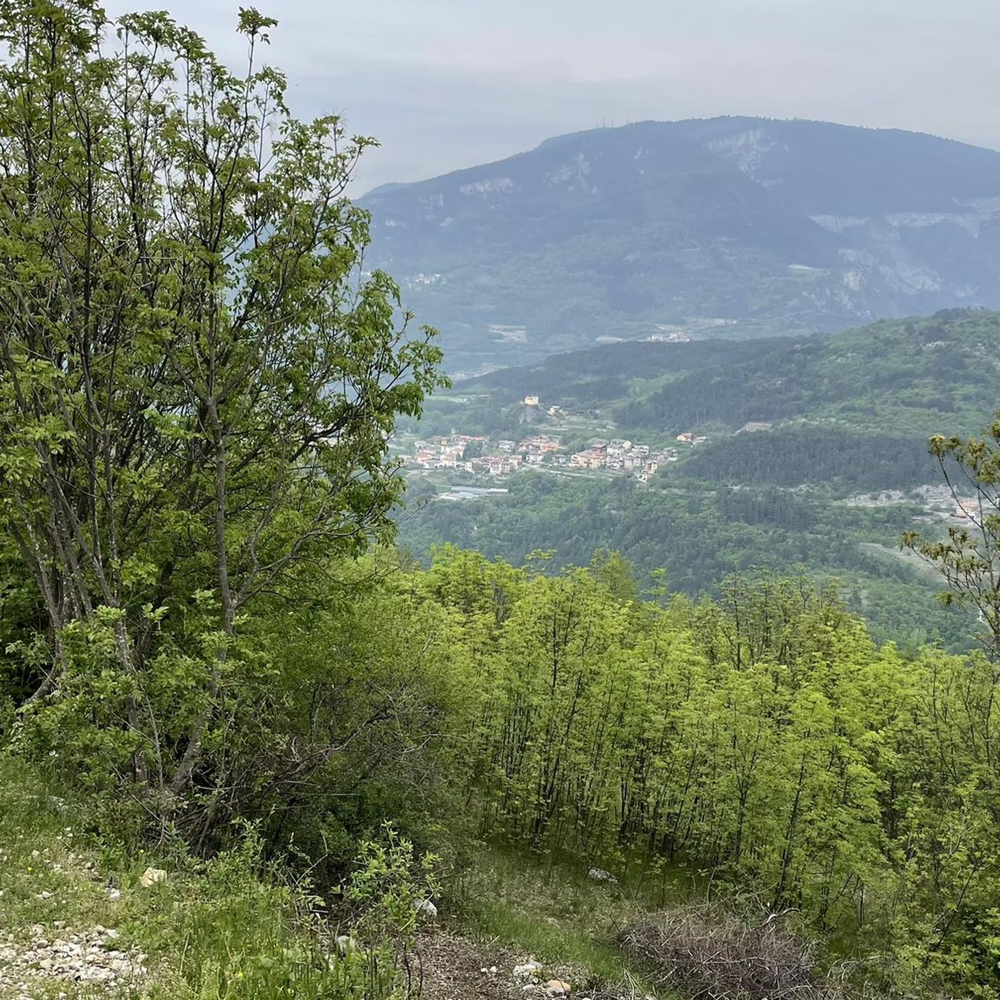
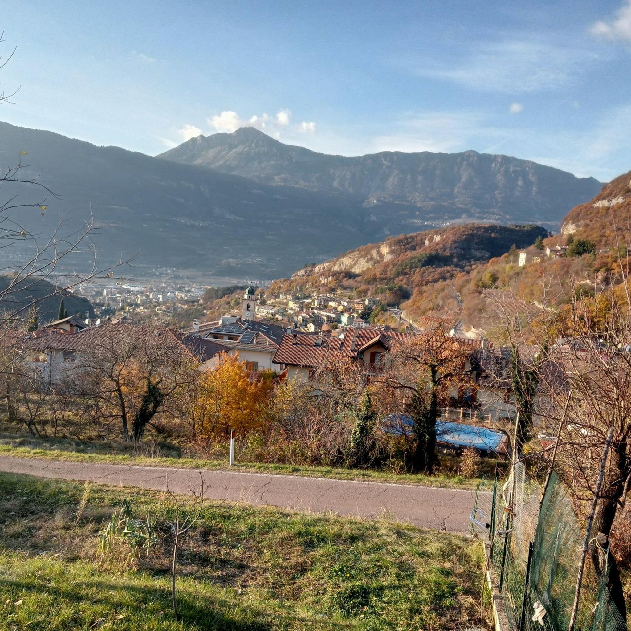
Tips from the Community

Cozy refuge for a stop to regain energy. Located in a beautifully sized alpine meadow. Starting point for hikes and e-bike tours.
0
0

Kiosk with WC available. Drinking fountain also present. The local bouldering community obviously meets here.
0
0
Please be sure to read a via ferrata description beforehand. You are also welcome to read my Komoot tour description. Not for beginners (C/D) and without an emergency exit. Otherwise, it is extremely beautiful and recommended. Including ascent and descent, the adventure takes about 4 hours.
0
0

Beautiful trail for returning from the via ferrata, always in the woods. In the sections free of vegetation, the view over the valley is magnificent. It is constantly kept in order and clean by deserving volunteers. Well done!
0
0
Beautiful sanctuary with a view of the Mori plain. In the surrounding area there are large grassy spaces, equipped with picnic benches. The boulders present are widely used by enthusiasts for short climbs.
0
0
Beautiful panoramic point at the arrival of the via ferrata.
0
0

Point on the ridge for Mount Stivo
0
0
Nice trail, quite easy, with views of the Adige Valley and the mountains to the west.
1
0
Frequently Asked Questions
How many mountaineering routes are available around Lake San Colombano?
There are 8 mountaineering routes documented around Lake San Colombano on komoot, offering a variety of experiences for different skill levels. These include 3 moderate and 5 difficult trails.
Are there any easy mountaineering routes suitable for beginners around Lake San Colombano?
While the routes around Lake San Colombano are generally categorized as moderate to difficult, some of the moderate trails can be approached by beginners with good fitness. For instance, the Scenic balcony – Montalbano Sanctuary loop from Mori is a moderate 5.2 km path that provides scenic views and leads to a sanctuary, making it a good option for those looking for a less strenuous experience compared to the more challenging ascents.
What are some challenging mountaineering routes in the Lake San Colombano area?
For those seeking a challenge, the region offers several difficult routes. One notable option is the Rifugio Stivo "P. Marchetti" – Cima Valdritta Summit Cross loop from Patone, which is a demanding 10.9 km trail with significant elevation gain, leading to a summit cross and a mountain refuge. Another challenging route is the Montalbano Sanctuary – Via Ferrata Monte Albano loop from Mori, which includes a via ferrata section.
Are there any circular mountaineering routes around Lake San Colombano?
Yes, many of the mountaineering routes in the area are designed as loops, allowing you to start and end at the same point. An example is the Trail in the Gorge loop from Piazza, a moderate 8.1 km route that offers a complete circular experience through varied terrain.
What is the best time of year for mountaineering around Lake San Colombano?
The best time for mountaineering around Lake San Colombano is typically from late spring to early autumn (May to October). During these months, the weather is generally more stable, trails are clear of snow at lower elevations, and mountain refuges are usually open. Always check local weather forecasts and trail conditions before heading out, especially in shoulder seasons.
Are there any routes that offer particularly good views or scenic balconies?
Absolutely. The region is known for its panoramic viewpoints. The Scenic balcony – Montalbano Sanctuary loop from Mori is specifically highlighted for its scenic views. Many routes also lead to mountain refuges or summits that provide expansive vistas of the surrounding Trentino landscape.
What do other mountaineers enjoy most about the routes near Lake San Colombano?
The mountaineering routes around Lake San Colombano are highly rated by the komoot community, with an average score of 4.8 stars from over 60 reviews. Mountaineers often praise the varied terrain, the presence of mountain refuges, and the challenging ascents that lead to rewarding views. The combination of natural beauty and well-maintained paths contributes to a highly enjoyable experience.
Are there any mountain refuges along the mountaineering routes?
Yes, mountain refuges are a key feature of mountaineering in this region. For example, the Case di Pietra – Rifugio Vincenzo Lancia loop from Pozza includes Rifugio Vincenzo Lancia, offering a place for rest and refreshments. Similarly, the Rifugio Stivo "P. Marchetti" – Cima Valdritta Summit Cross loop from Patone leads to Rifugio Stivo "P. Marchetti".
Is parking available near the trailheads for mountaineering routes?
Parking is generally available near the starting points of many popular mountaineering routes in the Lake San Colombano area. Specific parking information can often be found in the details of individual komoot Tours or by checking local municipality websites for designated parking areas in towns like Pozza or Mori, which serve as common access points.
Are there any cafes or places to get refreshments near the mountaineering trails?
Yes, you'll often find opportunities for refreshments. Many routes either start or pass through villages where cafes are available. Additionally, mountain refuges like Rifugio Vincenzo Lancia and Rifugio Stivo "P. Marchetti" typically offer food and drinks, providing a welcome break during longer excursions.
Do I need a permit for mountaineering in the Lake San Colombano region?
For general mountaineering and hiking on marked trails in the Lake San Colombano area, a specific permit is typically not required. However, if you plan to engage in activities like via ferrata, it's essential to have the appropriate equipment and experience. Always check local regulations, especially if you are venturing into protected areas or attempting more technical climbs.
Can I access mountaineering trails around Lake San Colombano using public transport?
While some trailheads might be accessible by local bus services, especially those starting from larger towns like Mori, public transport options can be limited for more remote starting points. It's advisable to research specific bus routes and schedules for your chosen trailhead in advance, as a car often provides more flexibility for reaching mountain access points in Trentino.
Most popular routes around Lake San Colombano

Get inspired with the komoot mobile app


Explore more
Browse the best Mountain Hikes & Routes in other regions.
