The best mountain hikes around Lake Speccheri
4.9
(21)
240
hikers
17
hikes
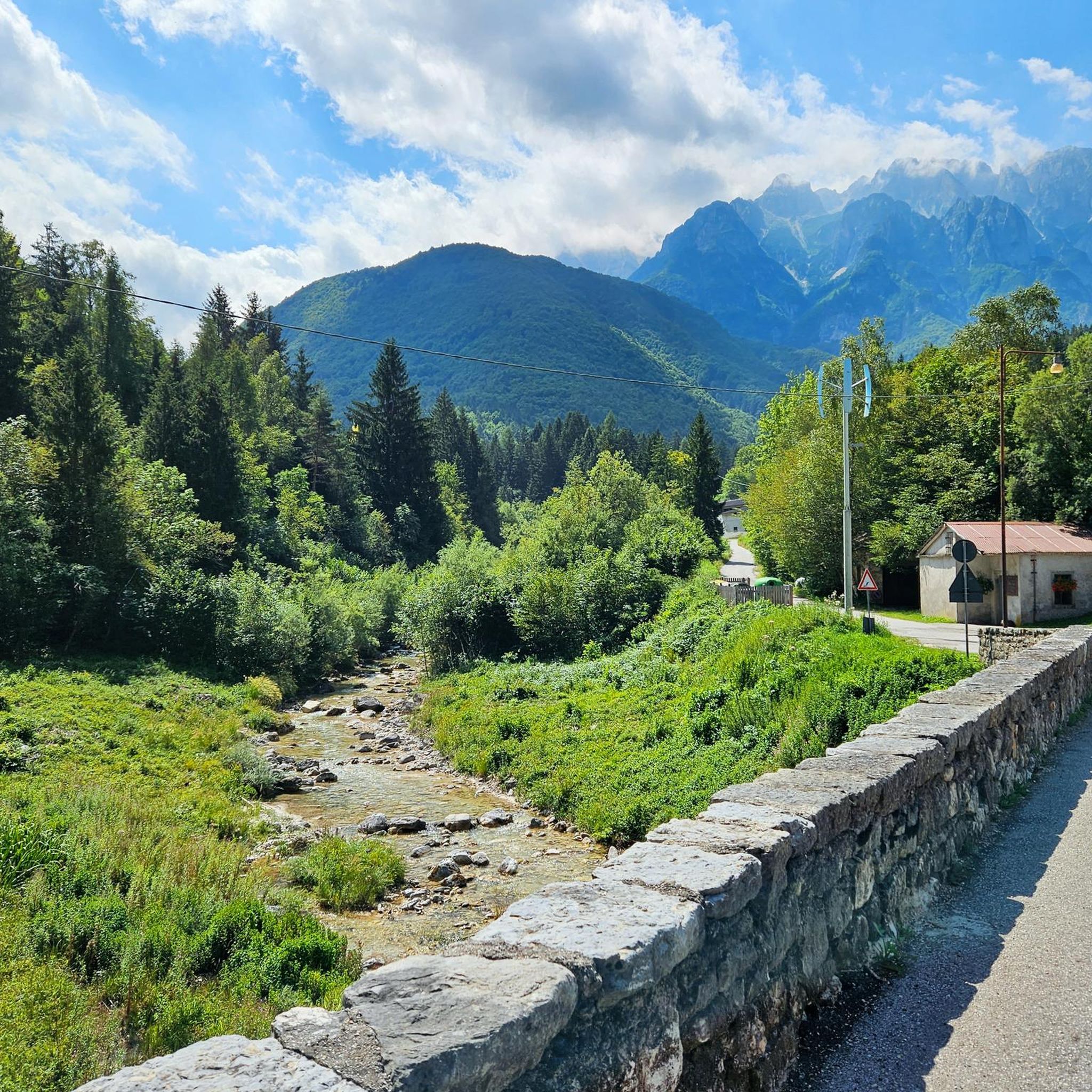
Mountaineering around Lake Speccheri offers challenging terrain within Italy's Trentino region, known for its dramatic landscapes. The area is characterized by steep, rocky valley sides of fluvio-glacial origin, leading down to the impressive Lake Speccheri, formed by Italy's third tallest dam. While the immediate vicinity of the lake provides a scenic backdrop for demanding hikes, the broader region is renowned for diverse mountaineering opportunities, including via ferratas and high-altitude treks. These routes often feature significant elevation gains and offer expansive…
Last updated: May 24, 2026
13
hikers
13.8km
04:43
590m
590m
Hard mountaineering route. Good fitness required. Sure-footedness, sturdy shoes and alpine experience required.
8
hikers
Hard mountaineering route. Good fitness required. Sure-footedness, sturdy shoes and alpine experience required.

Sign up for free
13
hikers
6.22km
03:04
460m
460m
Hard mountaineering route. Good fitness required. Sure-footedness, sturdy shoes and alpine experience required.
14
hikers
11.8km
03:38
420m
410m
Moderate mountaineering route. Good fitness required. Mostly accessible paths. Sure-footedness required.
5.0
(2)
17
hikers
5.90km
03:02
460m
460m
Hard mountaineering route. Good fitness required. Sure-footedness, sturdy shoes and alpine experience required.
Get access to more routes and recommendations from other explorers.
Sign up for free
Already have an account?
Our route recommendations are based on thousands of hikes, rides, and runs completed by other people on komoot.
Start today with a free account
Your next adventure awaits.
Login or Signup

Tips from the Community

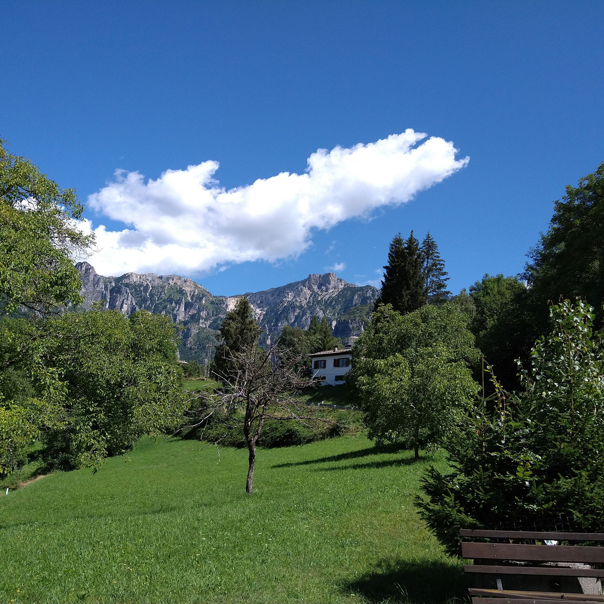
Beautiful refuge reachable both by asphalt and off-road, in the middle of the pre-Alps. Highly recommended!
0
0

Here you will find an excellent refreshment point before setting off for other destinations
0
0

Rifugio Camporosso makes excellent sandwiches
1
0
Try the sandwich with sopressa and cooked vegetables or the sandwich with sopressa and cheese
2
0

To climb up to Cornetto from this side, it is inevitable to tackle this equipped section of about ten meters, very exposed on a deep valley: you climb up a vertical and jagged rock face, facilitated by a chain. It definitely requires a lot of attention, mountain safety and an absence of vertigo (EE); if in doubt, it is better to wear a harness. The descent, as usual, will be more difficult than the climb. All things considered, it is a short but legendary passage that gives great satisfaction and strong emotions!
1
1

La Sisilla is located in front of the Giuriolo refuge in Campogrosso and in Pico tempo you can reach the Cima, with a beautiful view.
0
0

You can also reach the Cornetto peak by going through the vajo stretto, a relatively simple via ferrata. You start from Malga Cornetto following path 150. Be careful in the first part among the meadows, it is easy to lose the path.
0
0
Frequently Asked Questions
What makes mountaineering around Lake Speccheri unique?
Mountaineering around Lake Speccheri offers a distinctive experience within Italy's Trentino region. The area is characterized by its dramatic fluvio-glacial valley, featuring very steep and rocky sides. A central highlight is the impressive Lake Speccheri itself, formed by Italy's third tallest dam, which creates vibrant blue and emerald green waters. Routes often involve significant elevation gains and provide expansive views of this unique landscape.
How many mountaineering routes are available around Lake Speccheri?
There are over 25 mountaineering routes available around Lake Speccheri, offering a variety of experiences for different skill levels. The komoot community has explored these trails extensively, with over 500 mountaineers using komoot to navigate the area.
What are the typical difficulty levels for mountaineering routes in this area?
The mountaineering routes around Lake Speccheri are predominantly challenging. While there are 4 moderate routes, the vast majority, 22 routes, are classified as difficult. These often feature significant elevation gains and technical sections, including via ferratas.
Are there any circular mountaineering routes around Lake Speccheri?
Yes, many mountaineering routes around Lake Speccheri are designed as loops, allowing you to start and finish at the same point. For example, the difficult route Vajo Stretto Via Ferrata – Summit cross of Monte Cornetto loop from Pian delle Fugazze is a popular circular option. Another great loop is Torre di Bovental – La Sisilla loop from Brozzi.
What do other mountaineers say about the routes around Lake Speccheri?
The mountaineering routes around Lake Speccheri are highly regarded by the komoot community, boasting an average rating of 4.8 stars from over 60 reviews. Mountaineers frequently praise the challenging terrain, the stunning views of the lake and the impressive dam, and the rewarding sense of accomplishment after completing these demanding trails.
When is the best time of year for mountaineering near Lake Speccheri?
The best time for mountaineering around Lake Speccheri, like much of the Trentino region, is typically from late spring through early autumn (May to October). During these months, the weather is generally more stable, and trails are free of snow at lower to mid-altitudes. Always check local weather forecasts and trail conditions before heading out, especially for higher elevation routes.
Are there any beginner-friendly mountaineering routes in the area?
While the majority of routes around Lake Speccheri are classified as difficult, there are 4 moderate mountaineering routes available. These still require a good level of fitness and appropriate gear but offer a less technical introduction to the region's mountainous terrain compared to the more advanced options.
Are there challenging routes for experienced mountaineers?
Absolutely. Lake Speccheri and the surrounding Trentino region are a haven for experienced mountaineers. There are 22 difficult routes, including options like the Achille Papa Hut loop from Punta Favella, which involves significant elevation and high mountain terrain. The region is also known for its via ferratas and opportunities for high-altitude treks.
Can I bring my dog on these mountaineering trails?
While many trails in Trentino are dog-friendly, specific regulations can vary, especially on more technical mountaineering routes or in protected areas. It's always best to check the specific route details on komoot or local signage for any restrictions regarding dogs, particularly for routes involving via ferratas or steep, exposed sections where a leash might be impractical or unsafe for your pet.
What are some notable natural features or landmarks to see along the routes?
The most prominent natural feature is Lake Speccheri itself, with its vibrant colors, and the impressive dam, which is the third tallest in Italy. The surrounding valley is fluvio-glacial in origin, offering dramatic rocky sides and deep gorges. Routes often provide panoramic views of these unique geological formations and the broader mountainous landscape of Trentino.
Are there less crowded mountaineering routes available?
To find less crowded routes, consider exploring some of the difficult trails that might be slightly off the most popular paths. For example, the Vajo Nord del Baffelan loop from Punta Favella offers a challenging experience away from the busiest spots. Early morning starts or visiting during the shoulder seasons can also help you enjoy a more solitary experience.
What kind of gear should I bring for mountaineering around Lake Speccheri?
Given the challenging nature of many routes, essential gear includes sturdy mountaineering boots, appropriate layered clothing, a helmet, and a via ferrata set if you plan to tackle equipped sections. Always carry sufficient water, snacks, a map, compass or GPS device, and a first-aid kit. Checking the weather forecast and packing rain gear is also advisable.
Most popular routes around Lake Speccheri

Get inspired with the komoot mobile app


Explore more
Browse the best Mountain Hikes & Routes in other regions.
