The best MTB trails around Lake Misurina
4.7
(461)
3,375
riders
22
rides
Mountain biking around Lake Misurina offers diverse terrain set against the dramatic backdrop of the Dolomites, a UNESCO World Heritage site. Situated at an altitude of 5,755 feet (1,754 meters), the area features crystal-clear waters reflecting peaks like the Cadini Group, Mount Cristallo, and the iconic Tre Cime di Lavaredo. Mountain bike trails wind through serene forests and open alpine meadows, providing varied landscapes for riders.
Best mountain bike trails around Lake Misurina
- The most popular mountain bike trail is Agriturismo Pralongo – Auronzo–Misurina Cycle Path loop from Lago di Misurina, a 23.8 miles (38.2 km) trail that takes 4 hours 20 minutes to complete. This difficult route offers extensive views of the surrounding Dolomite peaks and valleys.
- Another top favourite among local mountain bikers is Rifugio Città di Carpi – Lago di Misurina Cycle Path loop from Lago di Misurina, a difficult 13.3 miles (21.3 km) path. This route features challenging climbs and descents through alpine scenery, connecting key mountain huts.
- Local mountain bikers also love the Lake Misurina – Città di Carpi Mountain Hut loop from Lago di Misurina, a 7.4 miles (11.9 km) trail leading through forests and open terrain, often completed in about 1 hour 31 minutes.
- Mountain biking around Lake Misurina is defined by dramatic Dolomite peaks, serene forests, and open alpine meadows. The network offers options for various ability levels, from easier paths to challenging climbs.
- The routes in Lake Misurina are highly rated by the komoot community with an average score of 4.5 stars from more than 290 reviews. More than 2000 mountain bikers have used komoot to explore Lake Misurina's varied terrain.
Last updated: August 18, 2026
4.4
(22)
172
riders
38.3km
04:17
1,310m
1,310m
Hard mountain bike ride. Very good fitness required. Advanced riding skills necessary. Some portions of the route may require you to push your bike.
4.8
(11)
51
riders
21.3km
02:39
950m
950m
Hard mountain bike ride. Very good fitness required. Advanced riding skills necessary. Some portions of the route may require you to push your bike.

Sign up for free
4.3
(3)
29
riders
11.4km
01:30
520m
520m
Hard mountain bike ride. Good fitness required. Advanced riding skills necessary. Some portions of the route may require you to push your bike.
5.0
(3)
24
riders
35.6km
03:17
1,010m
1,010m
Hard mountain bike ride. Very good fitness required. Advanced riding skills necessary.
3
riders
10.3km
01:51
540m
540m
Hard mountain bike ride. Good fitness required. Advanced riding skills necessary. Some portions of the route may require you to push your bike.
Get access to more routes and recommendations from other explorers.
Sign up for free
Already have an account?
Our route recommendations are based on thousands of hikes, rides, and runs completed by other people on komoot.
Start today with a free account
Your next adventure awaits.
Login or Signup
Popular around Lake Misurina
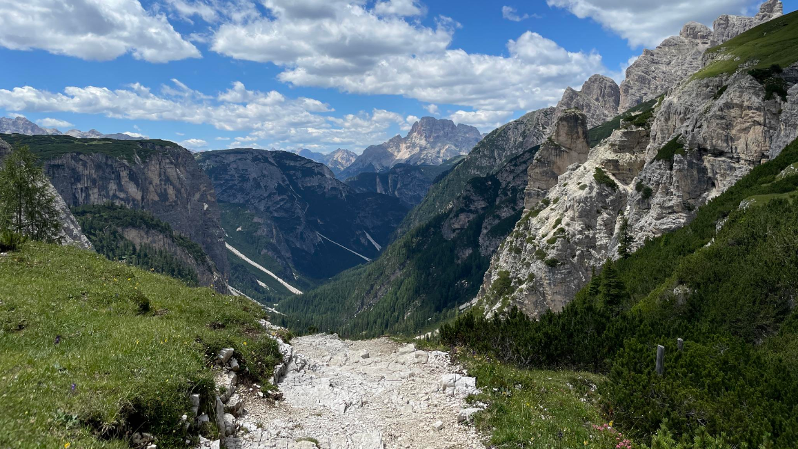
Trail running between the peaks of the Dolomites – Lavaredo Ultra Trail
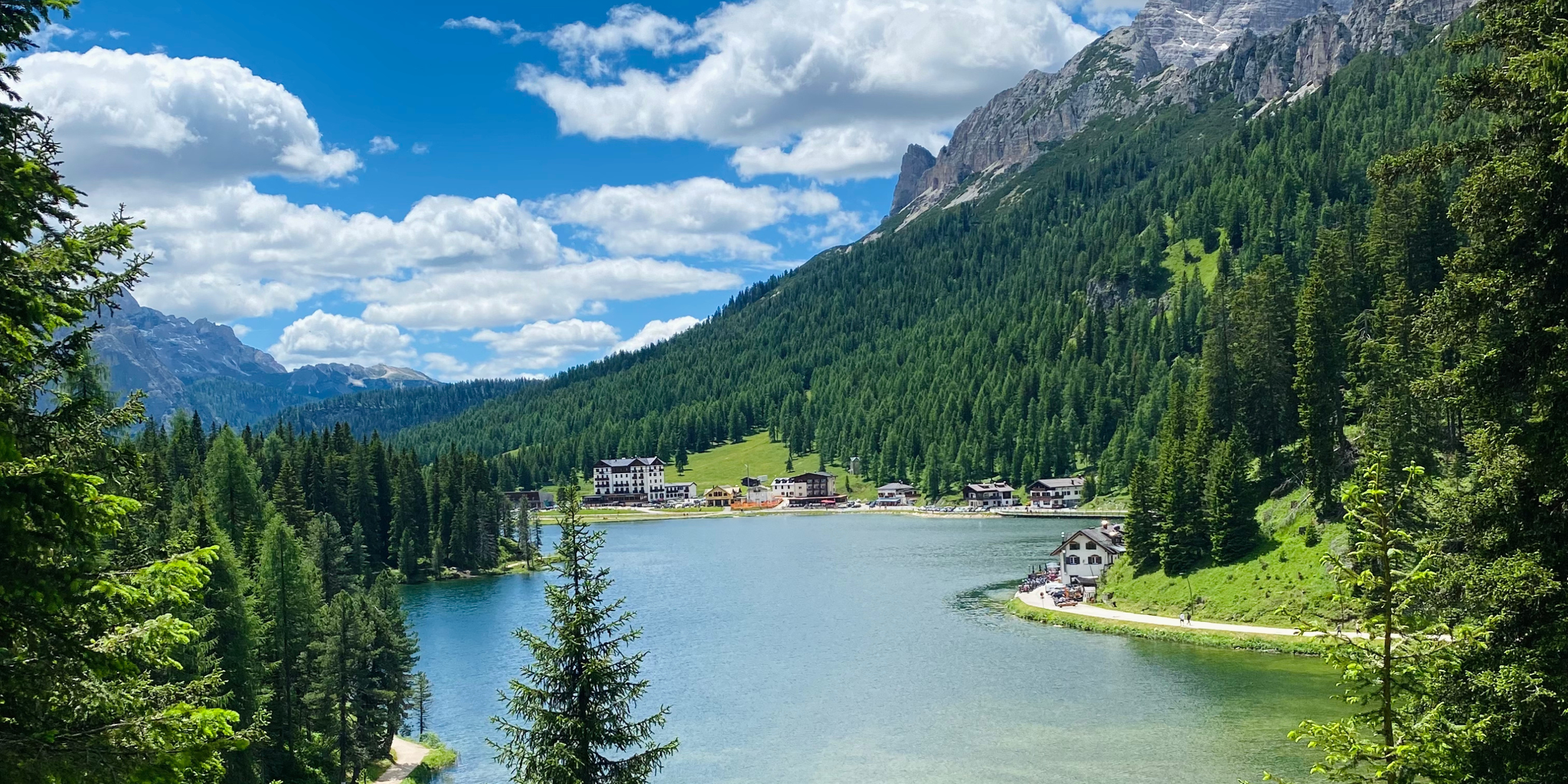
Cycling from sea to mountains – Venice to Cortina d'Ampezzo
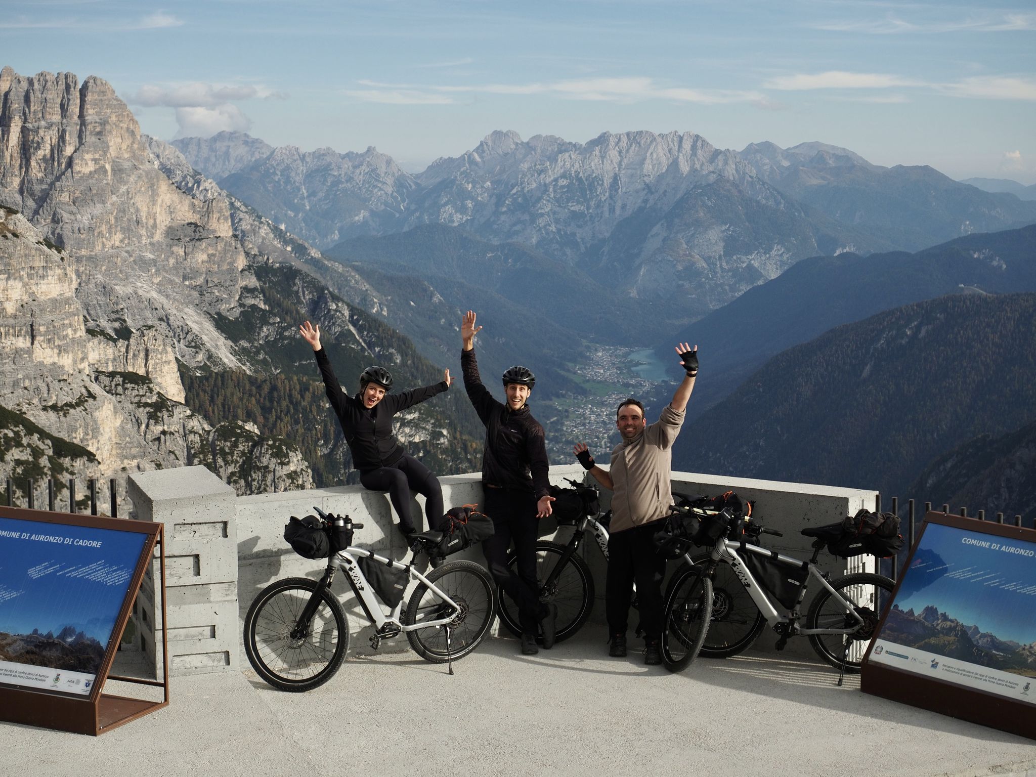
A family adventure – bikepacking through the Dolomites with Belén's brother
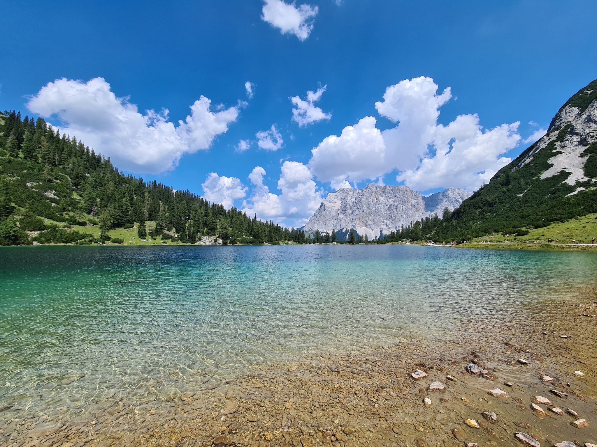
The most wonderful Alpine lakes
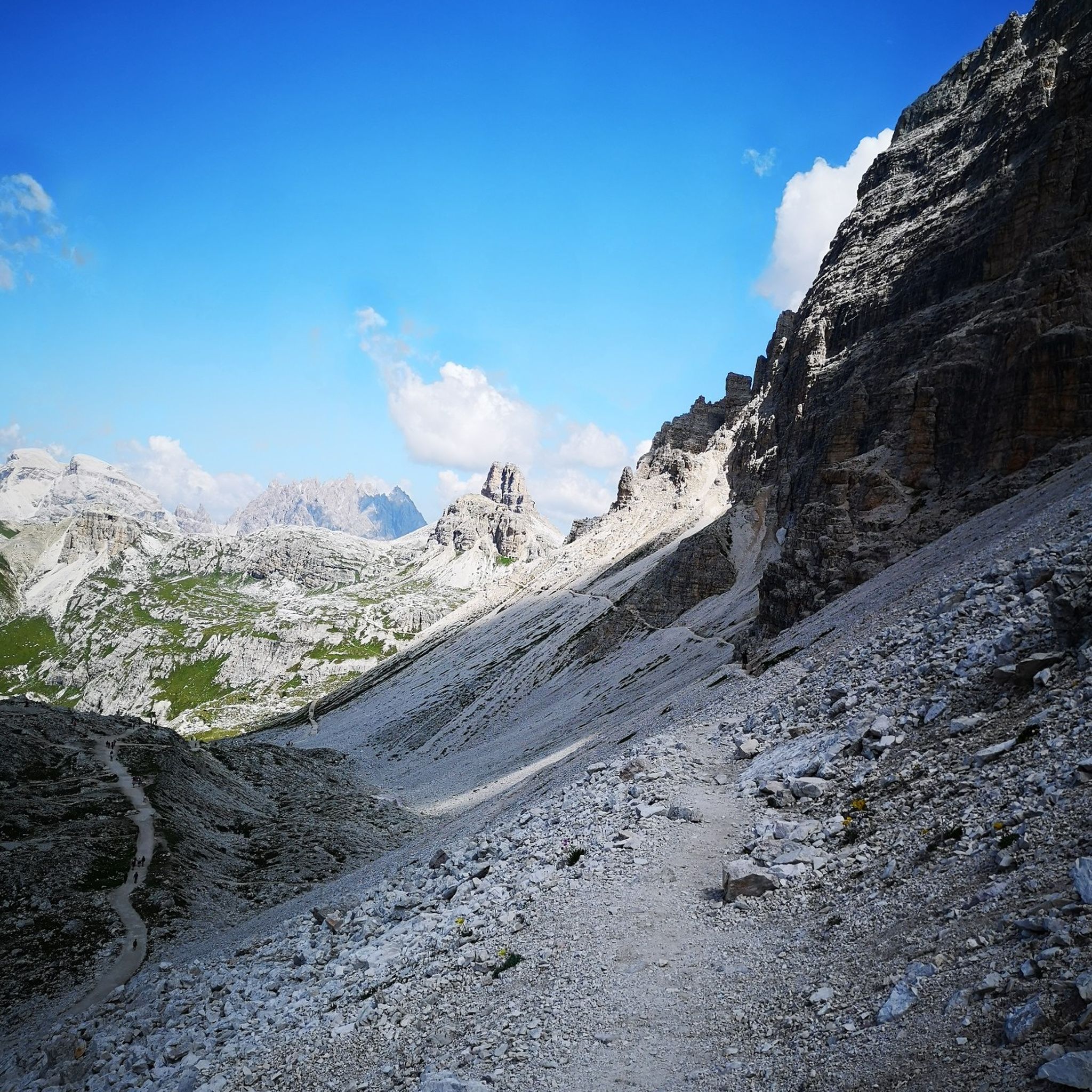
Hiking around Lake Misurina
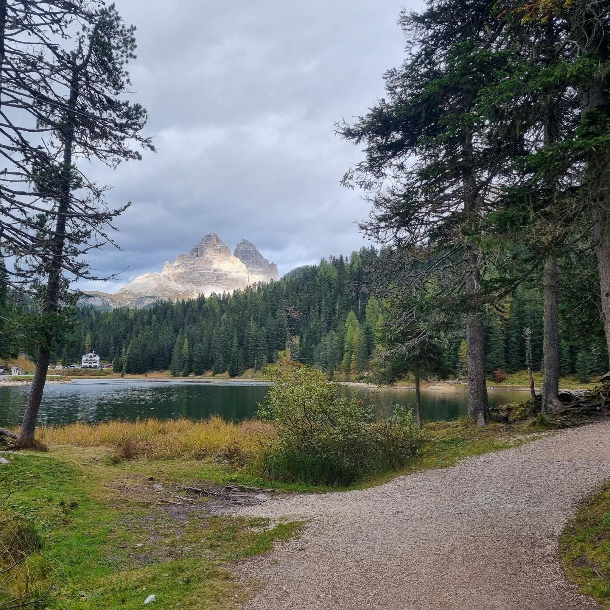
Road Cycling Routes around Lake Misurina
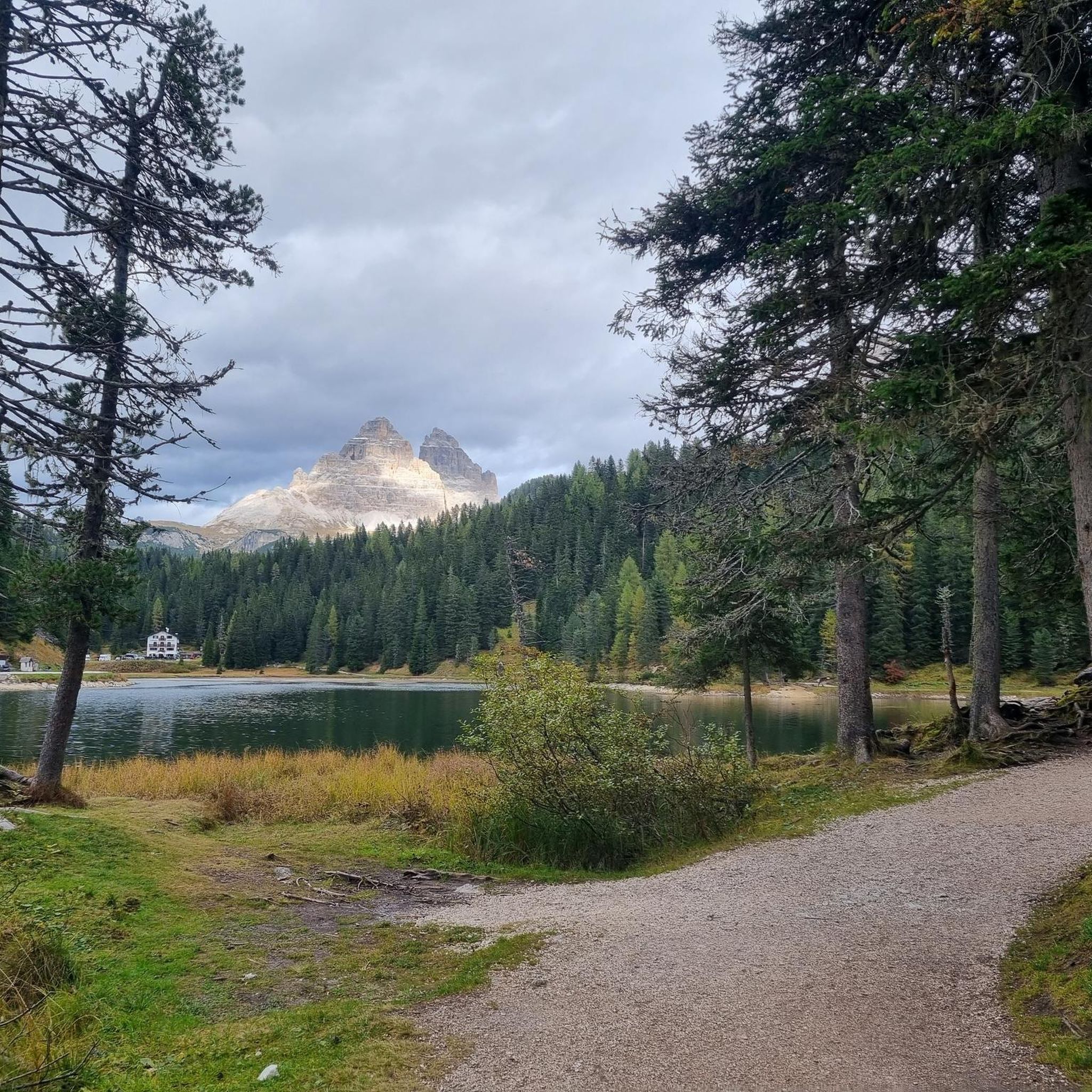
Cycling around Lake Misurina
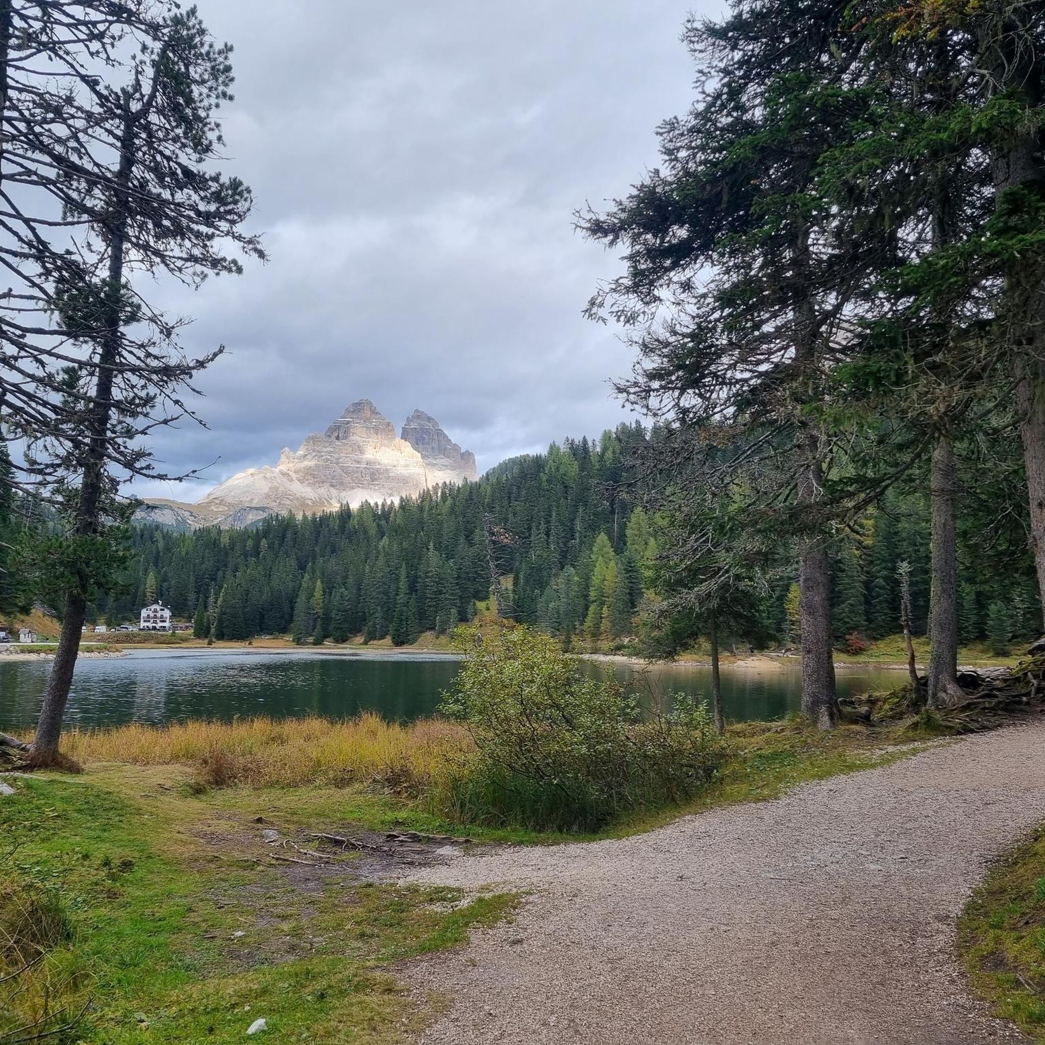
Running Trails around Lake Misurina

Mountain Hikes around Lake Misurina

Gravel biking around Lake Misurina
Other adventures around Lake Misurina


Tips from the Community

Occasionally the path is covered with gravel due to avalanches and torrents or has a short detour. Still passable by gravel bike. Mostly in the shade of trees and uphill, so appropriate clothing.
0
0

source of fresh water
0
0
Pit stop in the middle of two very steep sections.
0
0

An easy hike, with a slight climb to the Cima Banche Pass. For those with more fitness, I recommend hiking to Lake Landro.
0
0

Cadore cycle path from Auronzo to Misurina
0
0

Nice mtb trail. It's more fun to downhill. :P
0
0

This climb to Mietres is very doable with some steep parts at the end. It has a beautiful start in the forest and then as you get higher you will get some great views of Cortina!
0
0

Frequently Asked Questions
How many mountain bike trails are there around Lake Misurina?
There are over 25 mountain bike trails available around Lake Misurina, catering to various skill levels. The komoot community has explored these routes over 2,000 times, highlighting the area's popularity for mountain biking.
What is the best time of year for mountain biking in Lake Misurina?
The best time for mountain biking around Lake Misurina is typically from late spring through early autumn. During these months, the weather is generally favorable, and the trails are clear of snow, offering optimal conditions to enjoy the stunning Dolomites scenery.
Are there any easy mountain bike trails suitable for beginners or families around Lake Misurina?
Yes, while many routes are challenging, there are options for easier rides. A relatively easy and flat loop around Lake Misurina itself, approximately 2.5 kilometers long, is perfect for a leisurely ride with continuous scenic views. The area also features one easy-rated trail and six moderate trails among its offerings.
What kind of terrain can I expect on mountain bike trails near Lake Misurina?
You can expect a diverse range of terrain, from serene forests and open alpine meadows to challenging gravel roads and technical sections with stones and roots. The routes often feature significant climbs and descents, characteristic of the Dolomites landscape.
Are there any scenic viewpoints or natural features to look out for on the trails?
Absolutely. The region is renowned for its breathtaking views. You'll encounter panoramas of the Cadini Group, Mount Cristallo, Mount Popena, and the iconic Tre Cime di Lavaredo. The crystal-clear waters of Lake Misurina itself offer stunning reflections of the surrounding peaks. Many trails also wind through picturesque forests and alpine meadows.
Are there mountain bike routes that include access to mountain huts or cafes?
Yes, several routes connect to mountain huts. For example, the Rifugio Città di Carpi – Lago di Misurina Cycle Path loop from Lago di Misurina and the Lake Misurina – Città di Carpi Mountain Hut loop from Lago di Misurina both lead to Rifugio Città di Carpi, offering opportunities for refreshments and rest amidst the alpine scenery.
What do other mountain bikers enjoy most about the trails around Lake Misurina?
The area is highly rated by the komoot community, with an average score of 4.5 stars from nearly 300 reviews. Reviewers often praise the dramatic Dolomite peaks, the serene forests, and the open alpine meadows that define the riding experience. The diverse network of trails, suitable for various ability levels, is also a frequently highlighted positive aspect.
Are there any circular mountain bike routes available?
Yes, many of the mountain bike routes around Lake Misurina are designed as loops. Examples include the Agriturismo Pralongo – Auronzo–Misurina Cycle Path loop from Lago di Misurina, which is a difficult 38.2 km trail, and the Lake Misurina – Cortina d'Ampezzo loop from Lago di Misurina, offering extensive views and challenging terrain.
Where can I park my car when mountain biking near Lake Misurina?
Parking is generally available in the vicinity of Lake Misurina, serving as a convenient starting point for many trails. Specific parking areas can be found near the lake itself and at various trailheads, though it's advisable to check local signage for any restrictions or fees.
Are there options for accessing higher elevation trails using chairlifts?
Yes, several chairlifts in the area are bike-accessible, allowing riders to conserve energy and reach higher elevations. The Cold de Varda chairlift, for instance, provides access to trails that lead down to Lake Misurina and Lake d'Antorno. The 5-Torri and Fedare chairlifts also offer access to other popular trails.
What are some of the more challenging mountain bike routes in the area?
For experienced riders, challenging routes include the legendary road up to the Tre Cime di Lavaredo, continuing to Rifugio Auronzo. Another demanding option is Trail 120 leading to Rifugio Città di Carpi, which features gravel roads that become trickier with stones and roots. The Cortina d'Ampezzo – A look at the Tofane loop from Lago di Misurina is also a difficult 47.8 km route with significant elevation changes.
Most popular routes around Lake Misurina
Most popular attractions around Lake Misurina

Get inspired with the komoot mobile app


Explore more
Browse the best MTB trails in other regions.
