The best mountain hikes around Lake Pian Palù
4.5
(11)
168
hikers
8
hikes
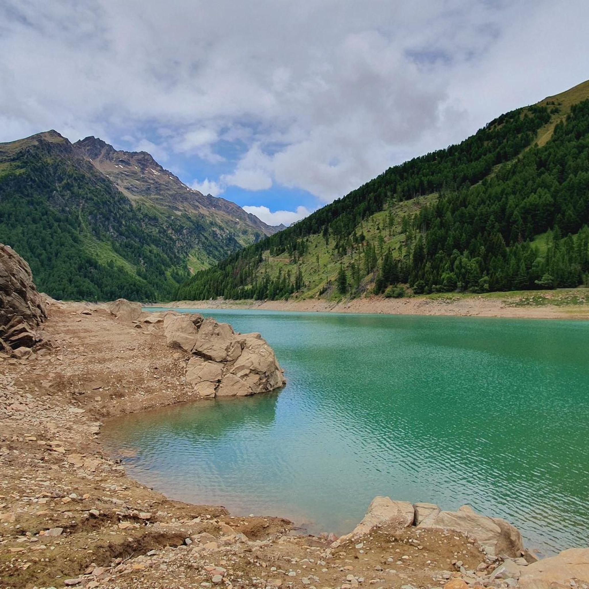
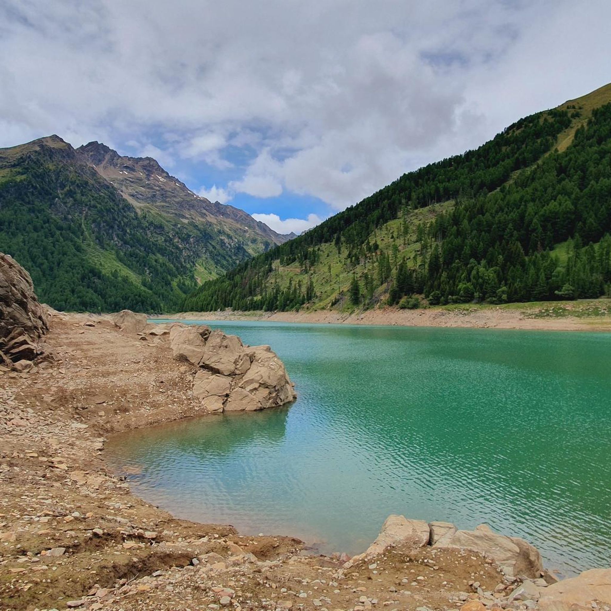
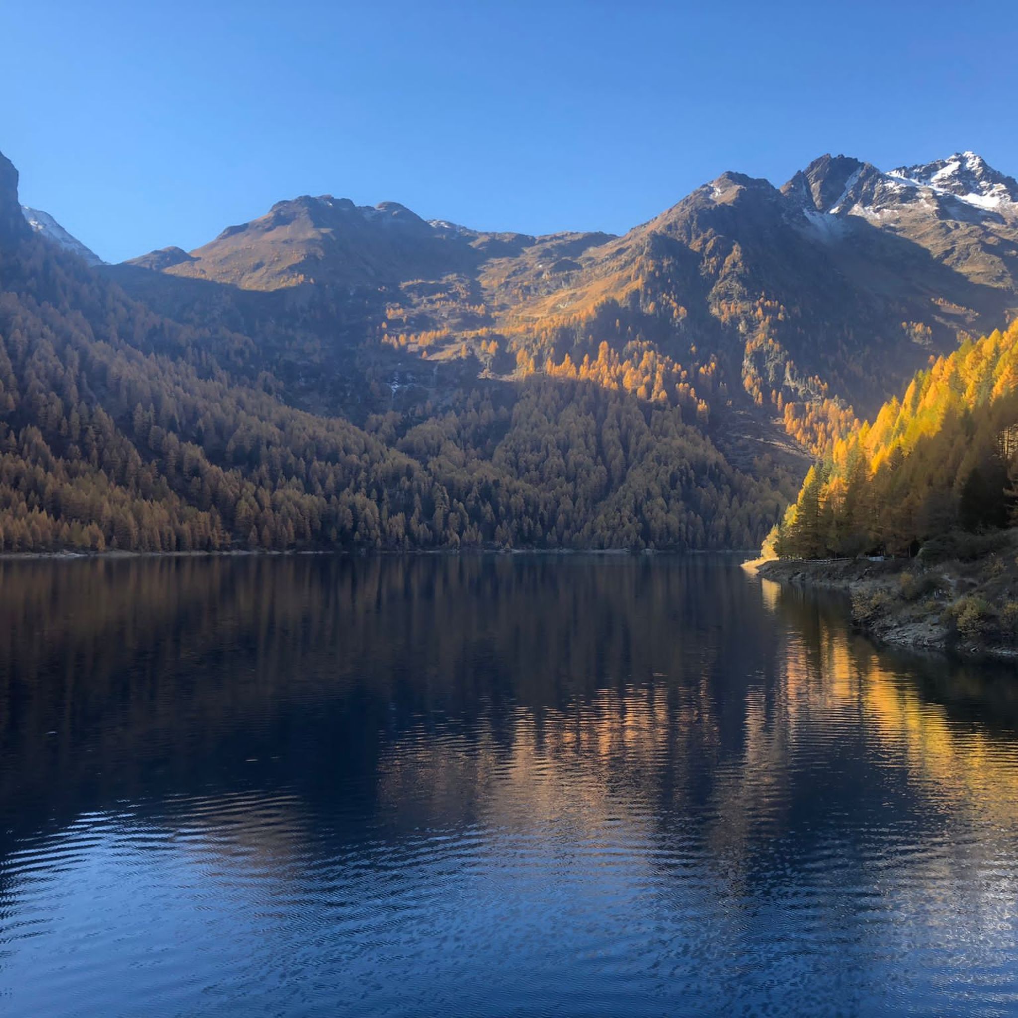
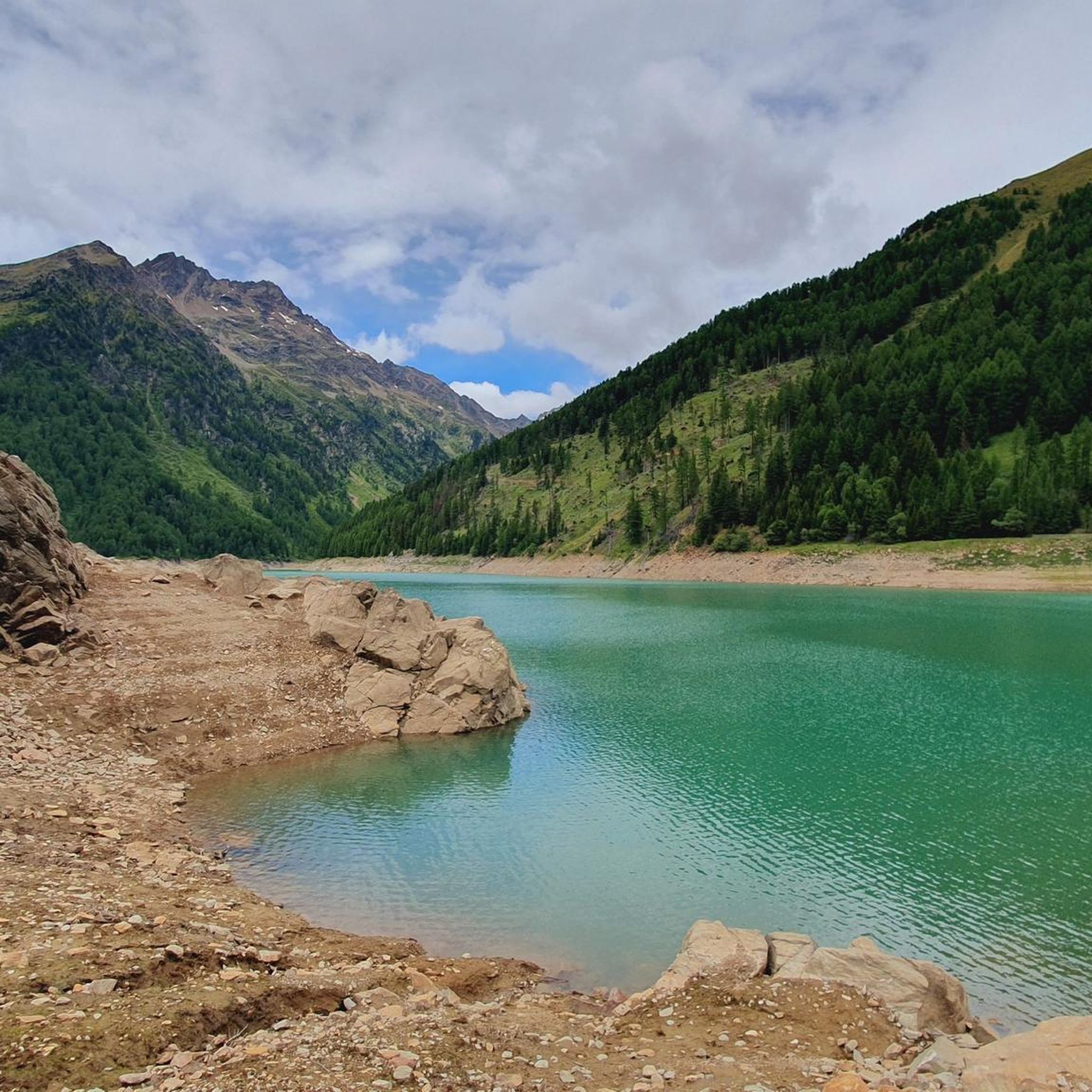
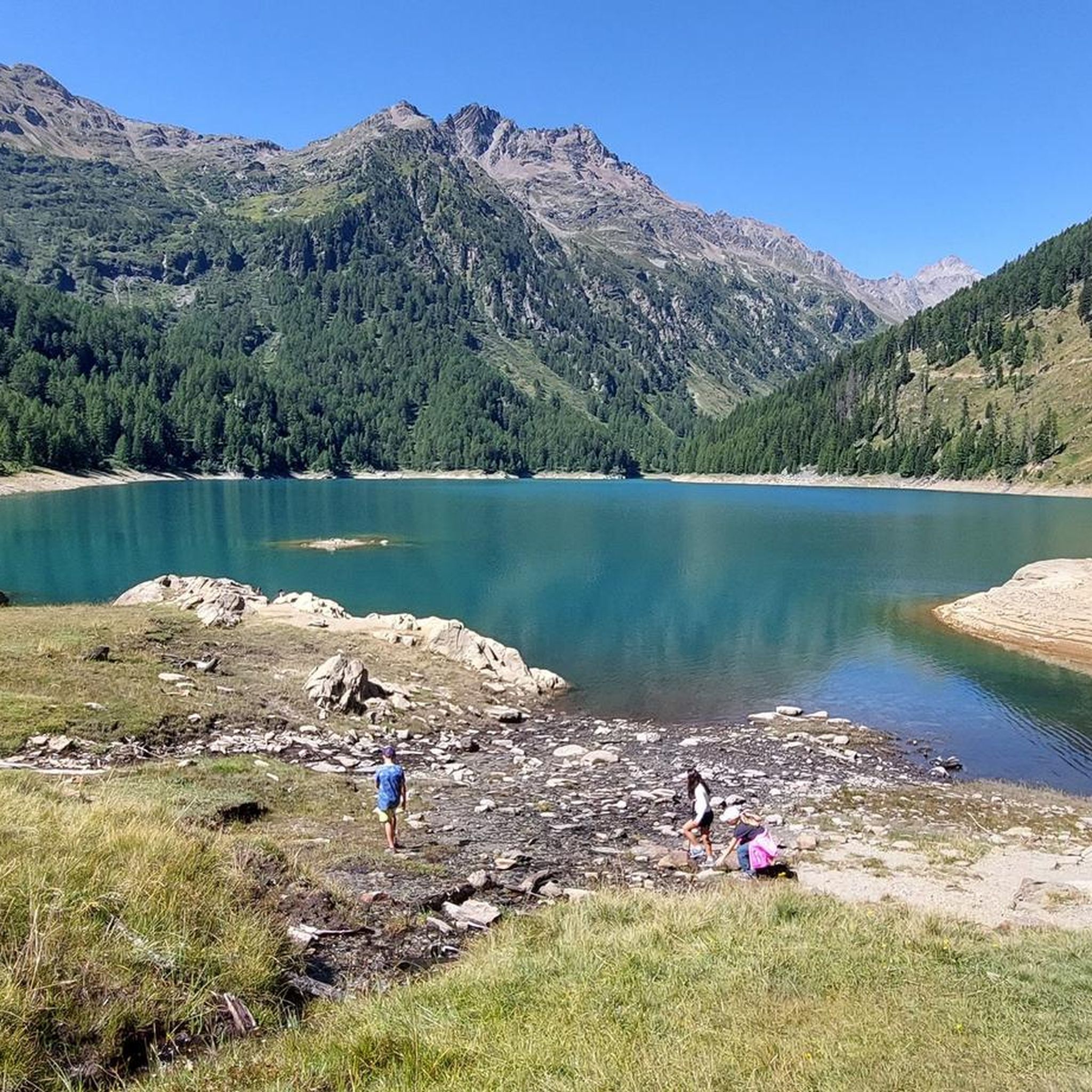
Mountaineering routes around Lake Pian Palù are situated within the Stelvio National Park in Trentino, Italy, characterized by a large artificial lake known for its vibrant blue waters. The region features a dramatic alpine backdrop with significant elevation changes, encompassing valleys like Val Cadini and Valle degli Orsi. Trails traverse through ancient larch forests and past waterfalls, offering diverse terrain for high-altitude exploration.
Best mountaineering routes around Lake Pian Palù
- The most popular mountaineering route is Lago di Pian Palù…
Last updated: July 4, 2026
3.0
(1)
6
hikers
7.40km
02:24
270m
270m
Moderate mountaineering route. Good fitness required. Mostly accessible paths. Sure-footedness required.
5.0
(3)
43
hikers
12.1km
07:46
1,290m
1,290m
Hard mountaineering route. Very good fitness required. Sure-footedness, sturdy shoes and alpine experience required.

Sign up for free
5.0
(2)
16
hikers
11.7km
05:39
960m
960m
Hard mountaineering route. Very good fitness required. Sure-footedness, sturdy shoes and alpine experience required.
7
hikers
15.5km
06:51
1,170m
1,160m
Hard mountaineering route. Very good fitness required. Mostly accessible paths. Sure-footedness required.
8
hikers
13.1km
04:54
780m
780m
Moderate mountaineering route. Good fitness required. Mostly accessible paths. Sure-footedness required.
Get access to more routes and recommendations from other explorers.
Sign up for free
Already have an account?
Our route recommendations are based on thousands of hikes, rides, and runs completed by other people on komoot.
Start today with a free account
Your next adventure awaits.
Login or Signup
Tips from the Community

Large municipality/village at the pass summit
0
0

The Valbiolo chairlift is the quickest way to reach the Malga Valbiolo mountain hut (2,244 m) starting from the Trentino side of the Passo del Tonale. The upper station of the lift is located right next to the hut.
0
0

Quite a difficult route but beautiful views of the Cevedale group
0
0

A pass located at 2,681 meters above sea level, on the watershed dividing northern Trentino from Lombardy, so called because during the Austro-Hungarian reign, smugglers passed through it carrying contraband goods. It was the site of trench warfare during the First World War, and today, the imposing ruins of trenches, barracks, and Italian army posts can still be seen on the great ridge that, starting from Cima Cadì, passed over western Monte Tonale, Cima Casaiole, and then from Passo dei Contrabbandieri, ascended first to Albiolino and then to Punta d'Albiolo, opposing the Austro-Hungarians who occupied Torrione d'Albiolo and the entire ridge descending from it, to eastern Monte Tonale and today's "Città morta" (Dead City), with a bold cantilevered engineering feat, still partially visible from the 1960s and 1970s. From the pass you can enjoy interesting views both to the north and to the south.
6
1

Excellent base for all itineraries
0
0


Frequently Asked Questions
How many mountaineering routes are available around Lake Pian Palù?
There are 8 mountaineering routes around Lake Pian Palù listed in this guide. These include 2 moderate and 6 difficult routes, offering a range of challenges for different skill levels.
What is the best time of year for mountaineering around Lake Pian Palù?
The best time for mountaineering around Lake Pian Palù is typically during the warmer months, from late spring to early autumn, when trails are clear of snow and weather conditions are more stable. This allows for safe access to the high-altitude terrain and offers the best views.
What kind of terrain can I expect on mountaineering routes around Lake Pian Palù?
Mountaineering routes around Lake Pian Palù feature dramatic alpine scenery with significant elevation changes. You'll traverse diverse terrain, including ancient larch forests, lush valleys like Val Cadini and Valle degli Orsi, and challenging ascents to mountain summits. Expect clear waters of the lake reflecting the surrounding peaks.
Are there any circular mountaineering routes around Lake Pian Palù?
Yes, several routes are designed as loops. A popular moderate option is the Lago di Pian Palù – Lago di Pian Palù loop from Lago di Pian Palù, which offers views of the lake's distinctive emerald reflections. For a more challenging experience, consider the Mantova Hut at Vioz – Monte Vioz Summit loop from Rifugio Mantova al Vioz.
What natural features or landmarks can I see along the mountaineering routes?
The routes offer stunning natural features. You can encounter beautiful waterfalls, such as Cascata Cadini, and follow various streams. The Fontanino di Celentino spring, known for its mineral water, is a unique natural attraction. Some routes also pass historical structures like the Austro-Hungarian Barbadifior fortress.
Are there family-friendly mountaineering options near Lake Pian Palù?
While many routes are demanding, the region also offers easier options suitable for families. The Lago di Pian Palù – Lago di Pian Palù loop from Lago di Pian Palù is a moderate trail that can be enjoyed by those with some hiking experience, and there are various easy hikes and walks in the broader area suitable for all skill levels and families.
What do other mountaineers say about the routes around Lake Pian Palù?
The mountaineering routes around Lake Pian Palù are highly rated by the komoot community, with an average score of 4.3 stars from over 15 reviews. Users often praise the dramatic alpine scenery, the challenging ascents, and the diverse terrain found within Stelvio National Park.
Are there mountain huts or places to rest along the routes?
Yes, the area features various mountain huts (rifugi) and 'malghe' (alpine pastures with traditional buildings) that can serve as resting points or destinations. Examples include Malga Giumella and Malga Paludèi, providing opportunities for breaks and refreshments.
Is parking available for mountaineering routes near Lake Pian Palù?
Parking is generally available at common starting points for routes around Lake Pian Palù, such as near Lago di Pian Palù itself or at Passo Tonale for routes like the Monte Tonale Orientale Summit – Smugglers' Pass loop from Passo Tonale. Specific parking details may vary by trailhead.
Are permits required for mountaineering in Stelvio National Park?
While general access to Stelvio National Park is usually open, certain activities or specific high-altitude routes might require permits or adherence to park regulations, especially for sensitive areas or during specific seasons. It's advisable to check with the Stelvio National Park authority or local tourist information for the most current requirements before your trip.
Can I bring my dog on the mountaineering trails around Lake Pian Palù?
Stelvio National Park generally allows dogs on trails, but they must be kept on a leash to protect wildlife and ensure the safety of other hikers. Always check specific trail regulations, especially for protected areas or during nesting seasons, as rules can vary.
How can I reach the mountaineering routes around Lake Pian Palù by public transport?
Public transport options to the Lake Pian Palù area exist, though they might require transfers. Buses often connect major towns in Trentino to smaller villages and trailheads within or near Stelvio National Park. For detailed schedules and routes, it's best to consult local transport services or the official tourism website for Trentino, such as visittrentino.info.
Most popular routes around Lake Pian Palù

Get inspired with the komoot mobile app


Explore more
Browse the best Mountain Hikes & Routes in other regions.
