The best mountain hikes around Lake Lugano
5.0
(13)
89
hikers
12
hikes
Mountaineering routes around Lake Lugano traverse a diverse landscape characterized by majestic peaks, extensive trail networks, and a blend of Mediterranean and alpine features. The region offers varied terrain, from challenging limestone mountains like the Denti della Vecchia to accessible peaks with panoramic views. The area's geography includes a mix of dense woodlands, open ridges, and steep ascents, providing a range of experiences for mountaineers.
Best mountaineering routes around Lake Lugano
- The most popular mountaineering route is Ponte di Strolech…
Last updated: October 1, 2026
5.0
(1)
4
hikers
6.07km
02:22
410m
410m
Moderate mountaineering route. Good fitness required. Mostly accessible paths. Sure-footedness required.
4.8
(5)
40
hikers
4.39km
02:14
350m
350m
Hard mountaineering route. Good fitness required. Sure-footedness, sturdy shoes and alpine experience required.

5.0
(1)
9
hikers
13.6km
07:07
1,190m
1,190m
Hard mountaineering route. Very good fitness required. Sure-footedness, sturdy shoes and alpine experience required.
5.0
(1)
6
hikers
11.2km
06:36
1,150m
1,150m
Hard mountaineering route. Very good fitness required. Sure-footedness, sturdy shoes and alpine experience required.
5.0
(1)
5
hikers
4.26km
01:48
260m
260m
Moderate mountaineering route. Great for any fitness level. Mostly accessible paths. Sure-footedness required.
Get access to more routes and recommendations from other explorers.
Already have an account?
Our route recommendations are based on thousands of hikes, rides, and runs completed by other people on komoot.
Start today with a free account
Your next adventure awaits.
Popular around Lake Lugano
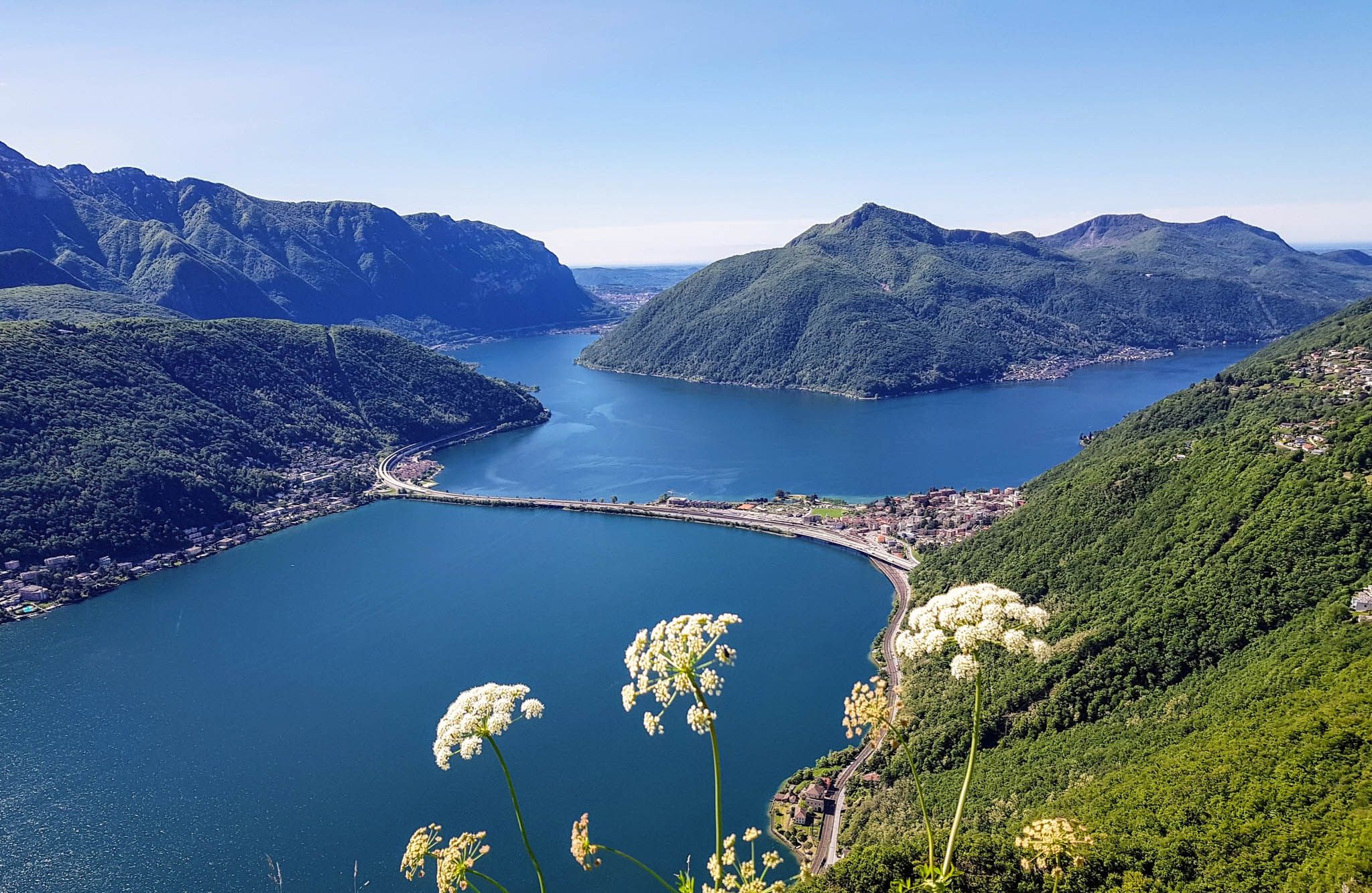
Sentiero Lago di Lugano – Between summits and lakes

Trans Swiss Trail – Hiking across Switzerland

Via Gottardo – Following historic trails

Every cycling trip is a little holiday – bike to work Challenge 2026
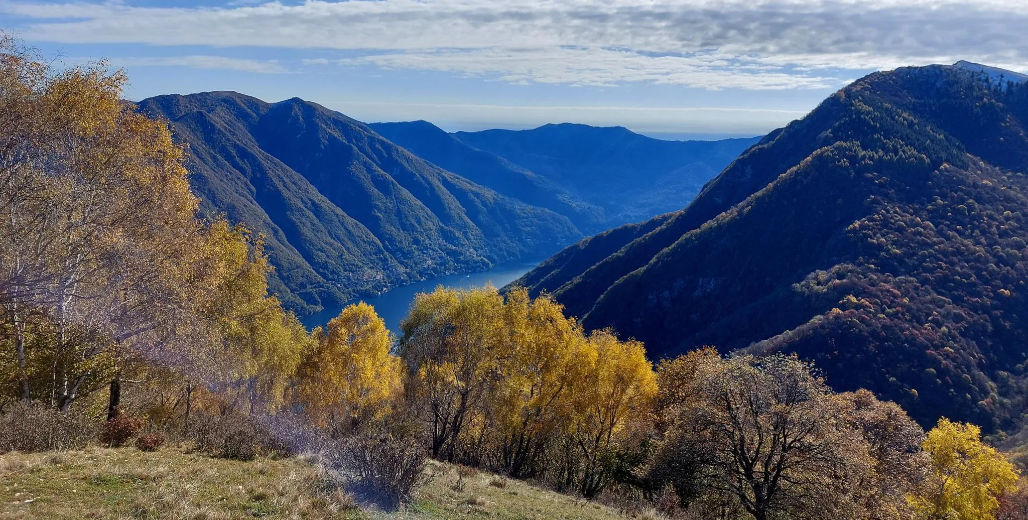
Lake Como region – CamminaForeste in Lombardy part 7
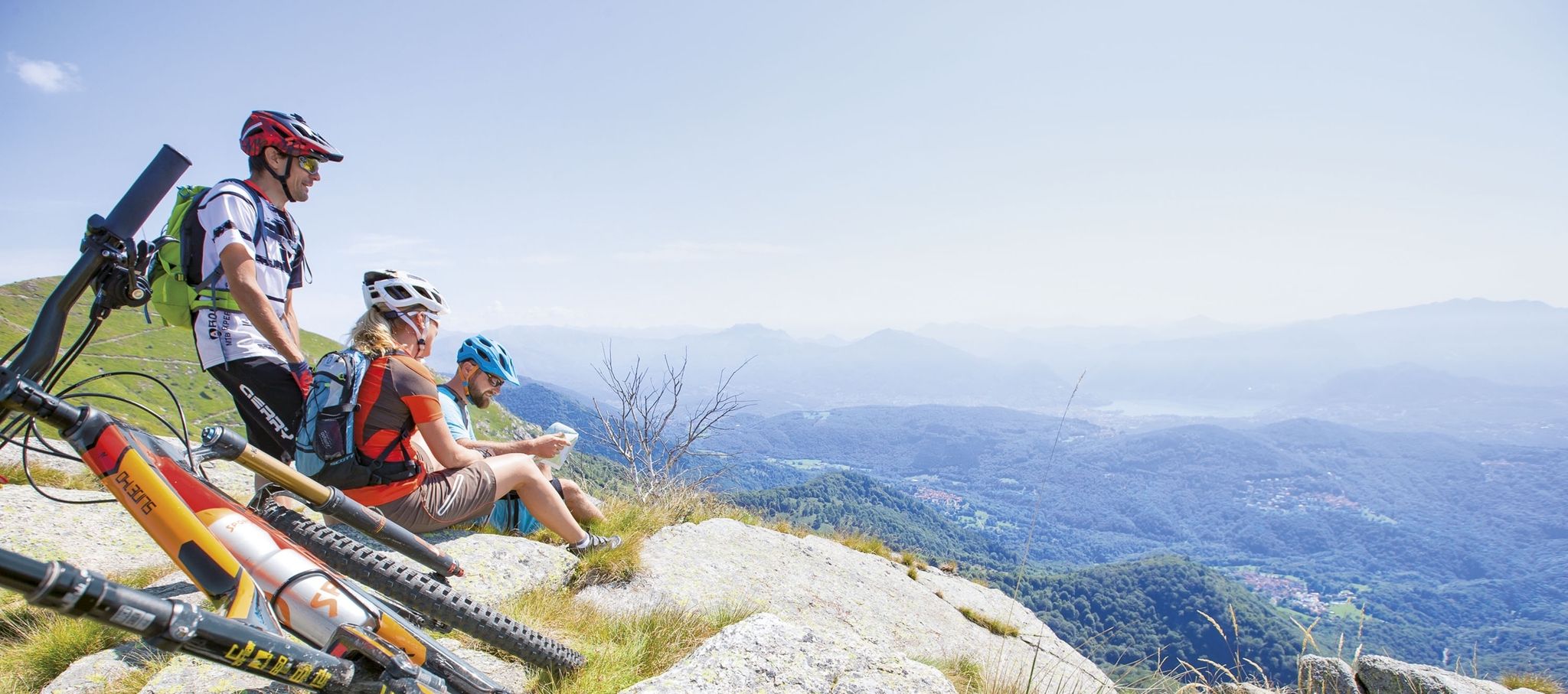
Ride together – the komoot MTB relay through Ticino in Switzerland
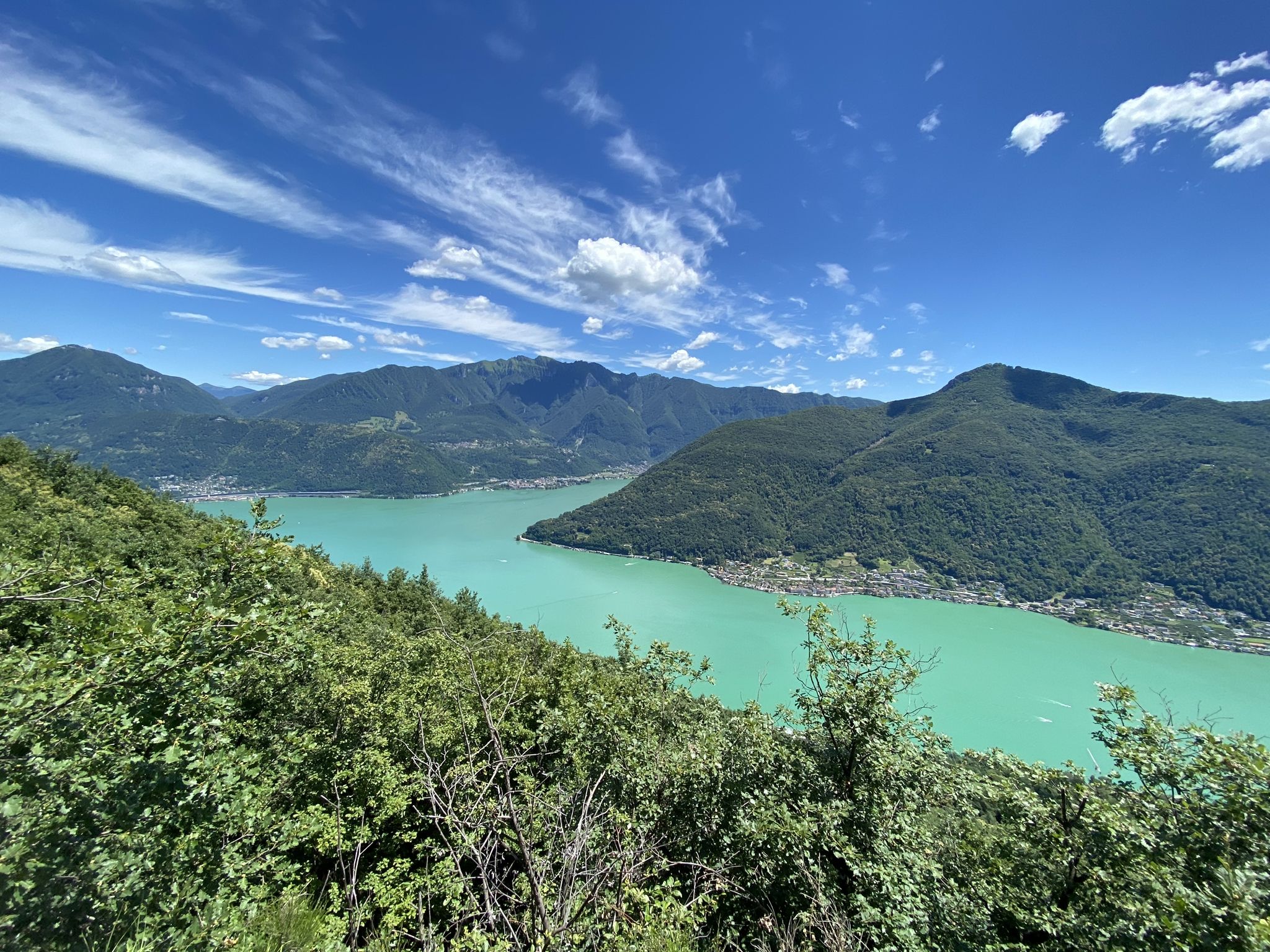
Trails with friends – komoot hiking relay through Ticino in Switzerland
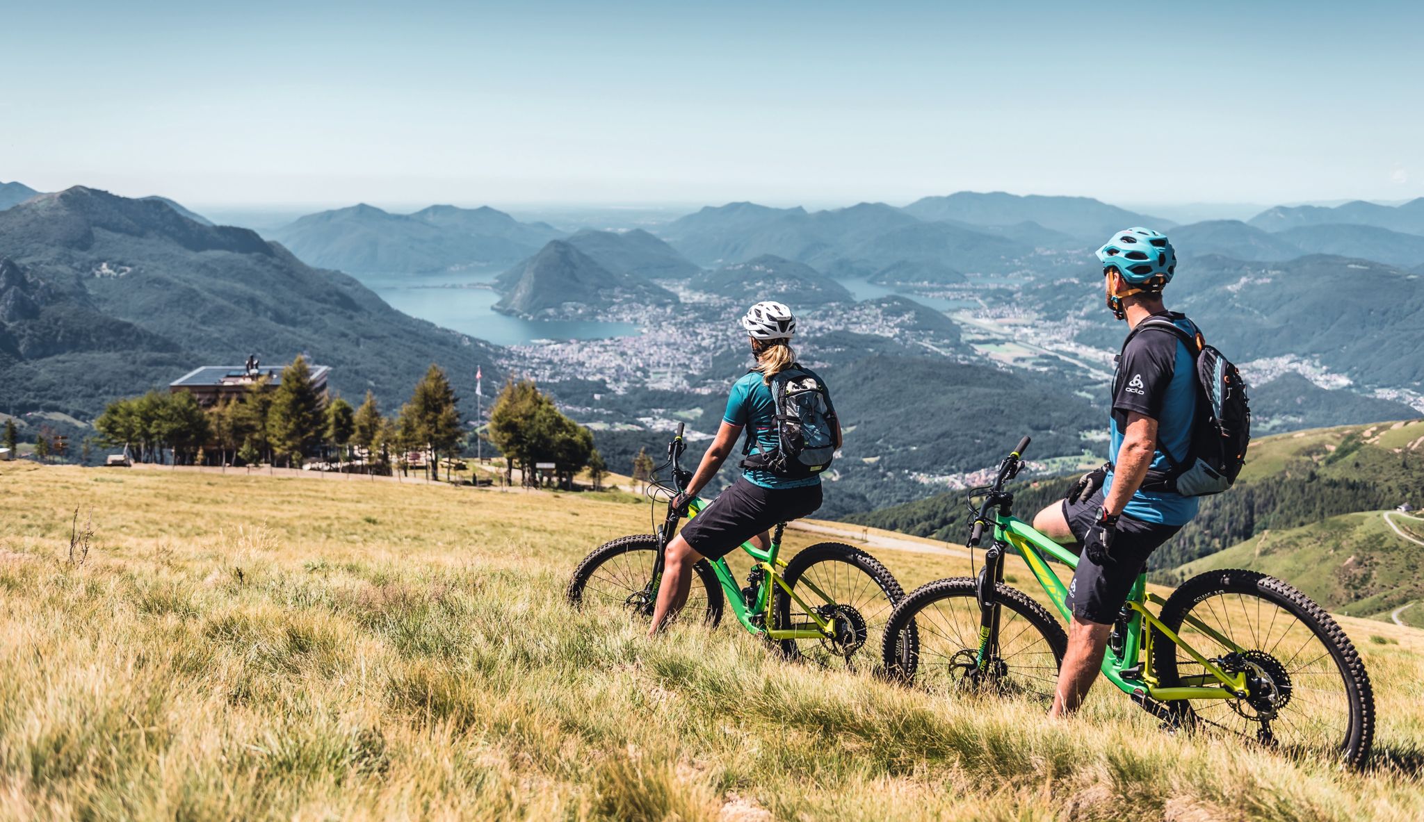
Wine, mountains & lakes – six top MTB Tours in Ticino in Switzerland
20 Schweizer Städte, 20 Laufstrecken – Laufen nach Plan mit Atupri
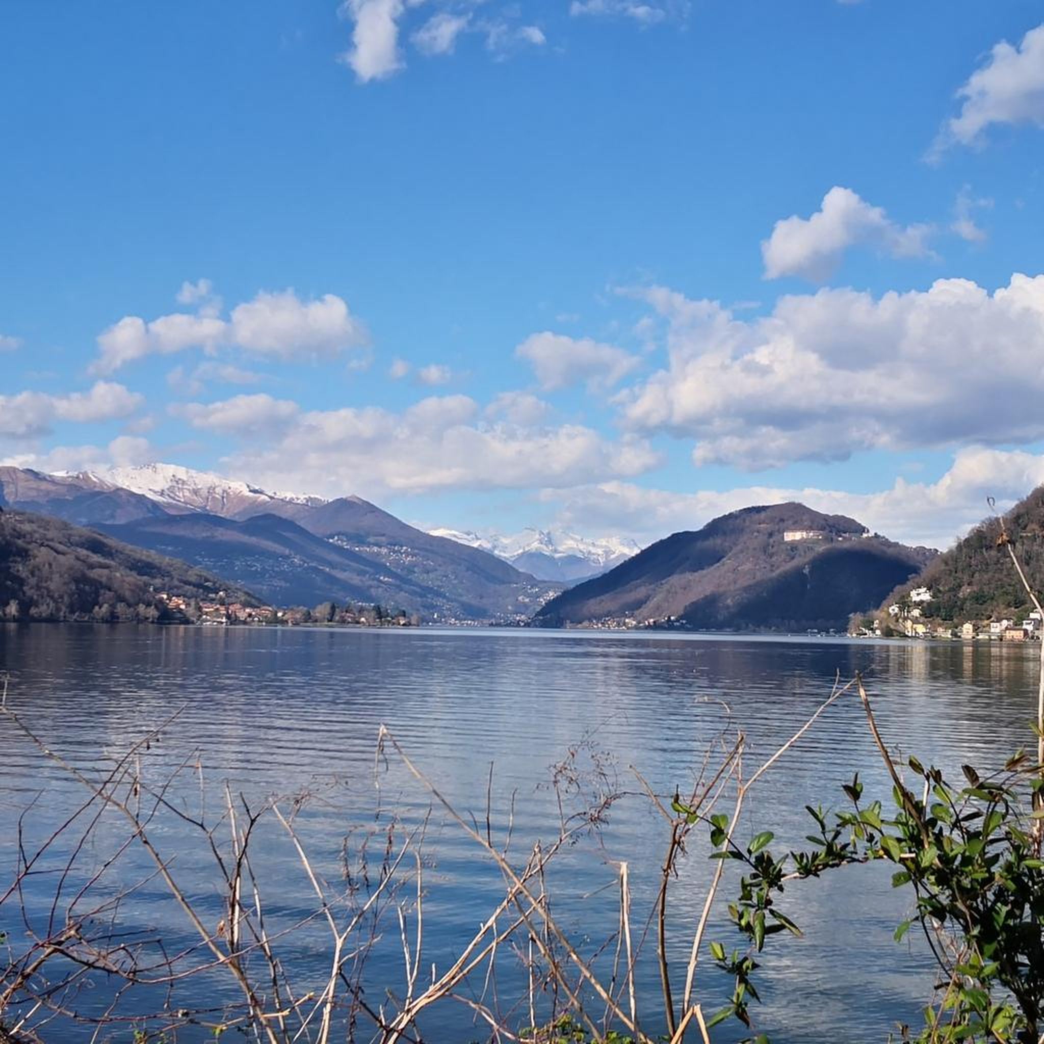
Hiking around Lake Lugano
Other adventures around Lake Lugano


Tips from the Community

Beautiful 360° view
0
0
On the path to Mount Generoso
0
0
Italy-Switzerland border
0
0
From the top you can enjoy a 360° panorama of the Alps, the mountains of Valsassina, Lugano and the plain.
0
0

From here the path becomes increasingly steep and narrow, slippery in wet weather in winter and autumn. Difficult climb to the top. Then also very difficult descent over narrow rocky paths, then wide but steep descent to the city
0
0

Strölech Bridge over the Rezzo torrent
0
0

Wonderful view, highly recommended 🌞👍
0
0

Chill out by train
0
0
Frequently Asked Questions
How many mountaineering routes are available around Lake Lugano?
There are over 15 mountaineering routes around Lake Lugano, offering a diverse range of experiences. These include routes of varying difficulty, from moderate ascents to more challenging trails, ensuring options for different skill levels.
Are there any easy mountaineering routes suitable for beginners?
While many routes offer a good challenge, you can find moderate options that are suitable for those new to mountaineering. For example, the Monte San Salvatore loop from Lago di Lugano is a moderate 4.3 km path with manageable elevation gain, offering stunning views without extreme difficulty. The region's cable cars and funiculars also make high-altitude experiences accessible.
Which routes offer the best panoramic views of Lake Lugano and the Alps?
For breathtaking panoramas, consider routes around Monte Generoso or Monte San Salvatore. The View of Lake Lugano – Monte Generoso Alpine Route loop from Val Mara takes you to Monte Generoso, where the 'Fiore di Pietra' building offers 360-degree views stretching across the Swiss and Italian Alps. Monte San Salvatore also provides stunning vistas, accessible via routes like the Monte San Salvatore – Puntobelvedere loop from Pazzallo.
Are there circular mountaineering routes in the Lake Lugano area?
Yes, many mountaineering routes around Lake Lugano are designed as loops, allowing you to start and end at the same point. Examples include the Ponte di Strolech – Historic center of Porlezza loop from Porlezza and the Sasso Rosso – Monte Boglia loop from Brè sopra Lugano, both offering diverse terrain and rewarding experiences.
What are some interesting landmarks or natural features to see along the mountaineering routes?
The region is rich in natural beauty and charming villages. Along your routes, you might encounter picturesque settlements like Morcote Village or Gandria Village on Lake Lugano. Natural highlights include the Belvedere Garden and the serene Pian Càsoro Lakeside and Nature Reserve. Monte San Giorgio, a UNESCO World Heritage Site, is also nearby.
Is it possible to access mountaineering trailheads using public transport?
Yes, many popular mountains around Lake Lugano are well-served by public transport. Monte Brè, Monte San Salvatore, and Monte Generoso are all accessible via funiculars or cable cars, which can bring you close to or directly to trailheads, making it convenient to start your mountaineering adventure without a car.
What is the best time of year for mountaineering around Lake Lugano?
The Lake Lugano region benefits from a Mediterranean climate blended with alpine grandeur. Spring and autumn generally offer pleasant temperatures and vibrant scenery, ideal for mountaineering. Summer can be warm, but higher-altitude routes provide cooler conditions. Winter mountaineering is possible but requires appropriate gear and experience due to snow and ice.
Are there any less crowded mountaineering routes for a more peaceful experience?
While popular peaks like Monte San Salvatore and Monte Generoso can attract visitors, exploring areas like Monte Boglia or the Denti della Vecchia can offer a more secluded experience. The Sasso Rosso – Monte Boglia loop from Brè sopra Lugano, for instance, provides a peaceful hiking experience with spectacular views of both Lake Lugano and Lake Como.
What do other mountaineers enjoy most about the routes in Lake Lugano?
The mountaineering routes around Lake Lugano are highly rated by the komoot community, with an average score of 5.0 stars. Reviewers often praise the stunning panoramic views, the diverse terrain that blends Mediterranean and alpine features, and the well-maintained trails that cater to various skill levels.
Are there options for families looking to go mountaineering?
Yes, the region offers options for families. While some routes are challenging, the accessibility provided by funiculars and cable cars to peaks like Monte Brè and Monte San Salvatore means families can enjoy high-altitude views and shorter, more relaxed walks at the summits. The village of Brè Paese, on Monte Brè, also offers cultural stops with local grotto restaurants.
Can I find cafes or restaurants near the mountaineering trails?
Yes, many routes pass through or near charming villages and mountain huts where you can find places to eat and drink. For example, the village of Brè Paese on Monte Brè is known for its local grotto restaurants. Additionally, the summits of Monte San Salvatore and Monte Generoso have facilities where you can enjoy refreshments with a view.
Most popular routes around Lake Lugano
Most popular attractions around Lake Lugano

Get inspired with the komoot mobile app


Explore more
Browse the best Mountain Hikes & Routes in other regions.
