The best mountain hikes around Lago d'Orta
4.9
(73)
345
hikers
4
hikes
Mountaineering around Lago d'Orta offers diverse terrain in Italy's Piedmont region, characterized by its prominent mountains, lush woods, and panoramic views of the lake and surrounding Alps. The area features a range of ascents from moderate climbs on peaks like Mottarone to more challenging routes on Monte Cerano and Monte Todum. These routes often traverse forests and open slopes, providing varied landscapes for outdoor exploration. The region's topography includes significant elevation changes, making it suitable for mountaineering activities.
Best mountaineering…
Last updated: July 4, 2026
1
hikers
9.60km
03:08
440m
440m
Moderate mountaineering route. Good fitness required. Easily-accessible paths. Suitable for all skill levels.
5.0
(2)
23
hikers
8.26km
02:49
410m
410m
Moderate mountaineering route. Good fitness required. Mostly accessible paths. Sure-footedness required.

Sign up for free
4.7
(6)
16
hikers
8.04km
04:30
680m
680m
Hard mountaineering route. Good fitness required. Sure-footedness, sturdy shoes and alpine experience required.
5.0
(2)
7
hikers
7.61km
03:24
560m
560m
Hard mountaineering route. Good fitness required. Sure-footedness, sturdy shoes and alpine experience required.
5.0
(4)
22
hikers
7.81km
04:01
610m
610m
Hard mountaineering route. Good fitness required. Sure-footedness, sturdy shoes and alpine experience required.
Our route recommendations are based on thousands of hikes, rides, and runs completed by other people on komoot.
Start today with a free account
Your next adventure awaits.
Login or Signup
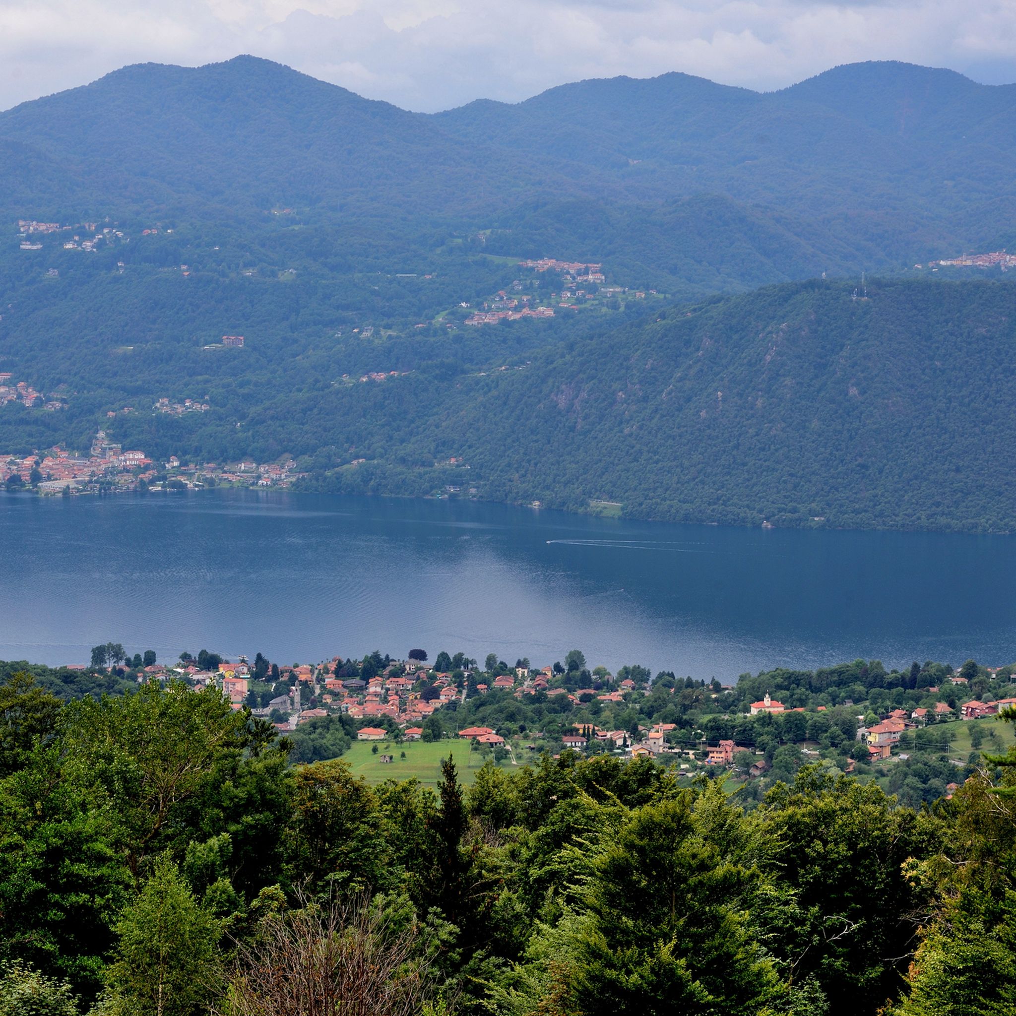
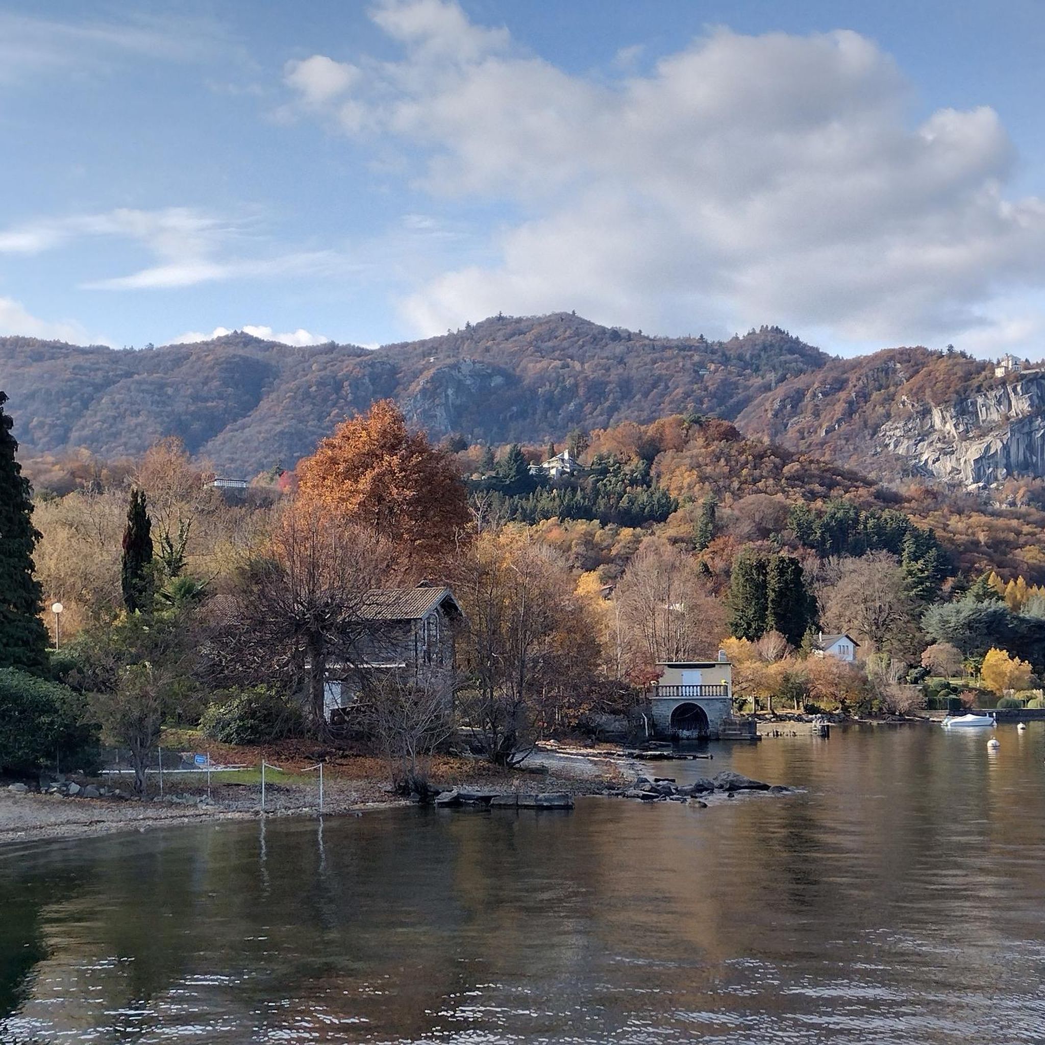
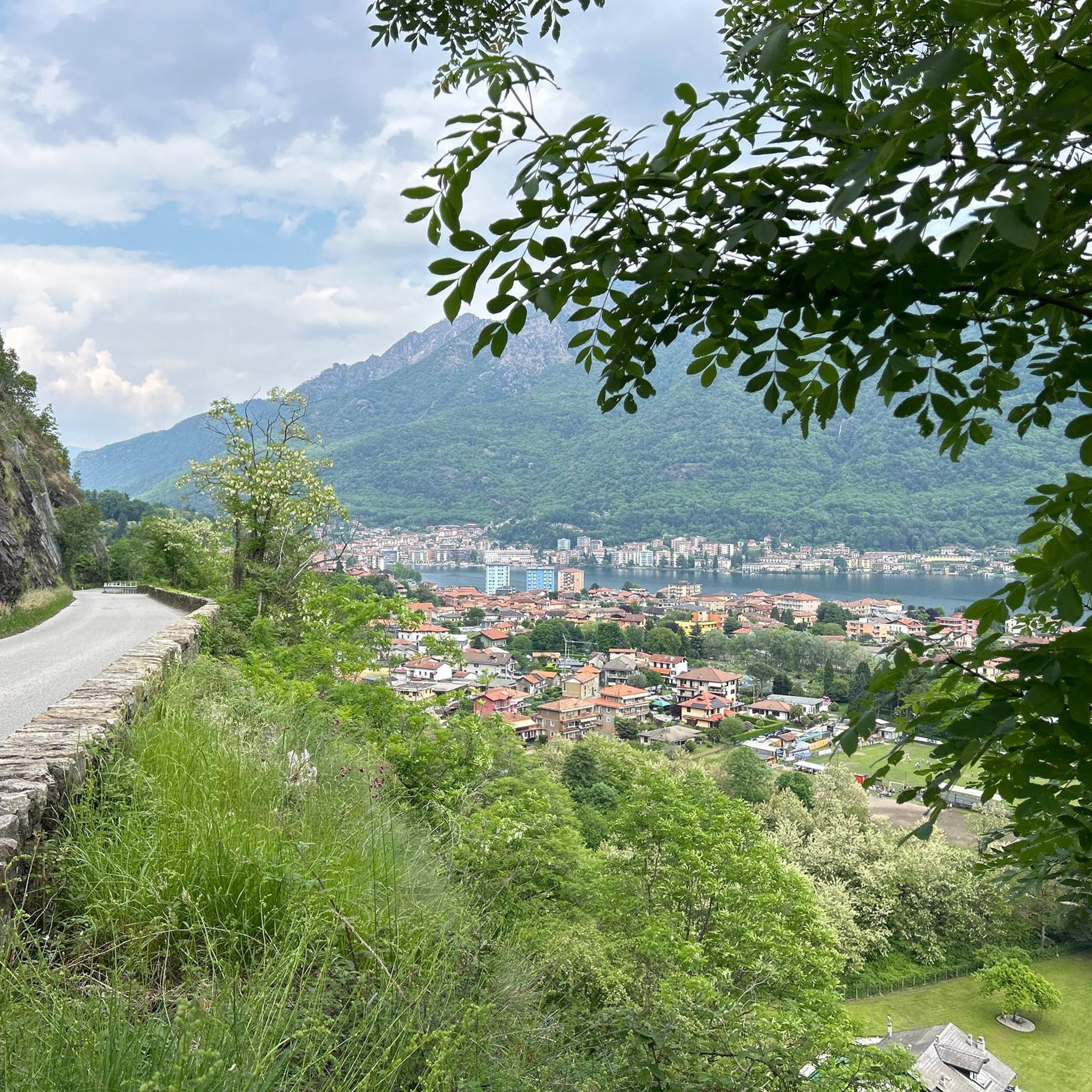
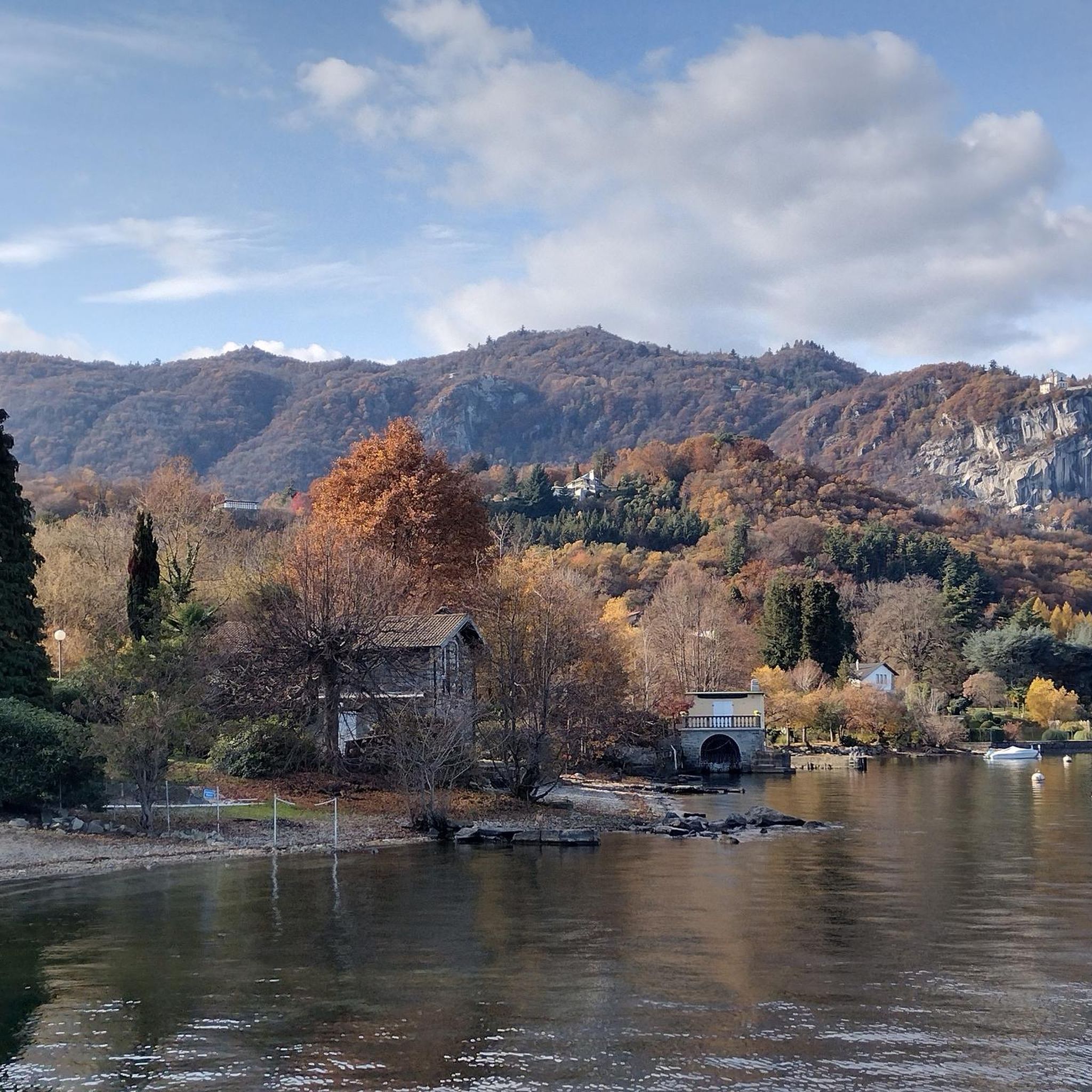

Tips from the Community

Small space equipped with signs on the history of stonemasons.
0
0
Very fun short exposed section
1
0

A beautiful panoramic viewpoint, also a great place to catch your breath on the trail leading to the summit from Montorfano. The trail isn't exactly easy, technically speaking.
0
0

Beautiful hike to the summit! Quite steep, but absolutely worth it!
2
0

The Little Cemetery of Montorfano
1
0

Exciting, but only in Italian and English
0
0

great view of the Toce and Lago
0
0

Frequently Asked Questions
What types of mountaineering routes can I find around Lago d'Orta?
Lago d'Orta offers a diverse range of mountaineering experiences, from moderate climbs to more challenging ascents. You'll find routes traversing lush forests, open slopes, and prominent peaks, all providing varied landscapes and significant elevation changes. The region is known for its panoramic views of the lake and the surrounding Alps.
Are there any circular mountaineering routes in the Lago d'Orta area?
Yes, several mountaineering routes around Lago d'Orta are circular, allowing you to start and end at the same point. Examples include the moderate Alpe Nuovo loop from Mottarone, which offers views from the prominent Mottarone mountain, and the more challenging Americans' Quarry loop from Baveno.
What is the best time of year for mountaineering around Lago d'Orta?
The Lago d'Orta region is generally accessible year-round for outdoor activities. However, for mountaineering, spring through autumn typically offers the most favorable conditions, with pleasant temperatures and less chance of snow at higher elevations. Always check local weather forecasts and trail conditions before heading out, especially during shoulder seasons.
Are there any family-friendly mountaineering options near Lago d'Orta?
While many mountaineering routes involve significant elevation gain and can be challenging, some areas offer more accessible paths that families with older children might enjoy. For gentler walks with scenic views, consider exploring the paths around the Sacro Monte di Orta Natural Reserve, which offers panoramic views and a spiritual journey through lush woods.
Can I bring my dog on the mountaineering trails around Lago d'Orta?
Many trails in the Lago d'Orta region are dog-friendly, but it's always best to check specific route regulations before you go. Ensure your dog is well-behaved, kept on a leash where required, and that you carry out all waste. Some routes may have challenging terrain or sections that are not suitable for all dogs.
What are some notable viewpoints or natural attractions along the mountaineering routes?
The mountaineering routes around Lago d'Orta are renowned for their spectacular views. From peaks like Mottarone, you can enjoy 360-degree panoramas encompassing seven lakes. Other routes offer vistas of Lago d'Orta and the Alpine peaks. You might also encounter highlights such as the Orta San Giulio Historic Centre or the Omegna Lakefront near some trailheads.
How do other mountaineers rate the routes in Lago d'Orta?
The mountaineering routes in Lago d'Orta are highly regarded by the komoot community, holding an impressive average rating of 4.9 stars from more than 70 reviews. Mountaineers frequently praise the challenging ascents, the rewarding panoramic lake views, and the diverse forest paths that define the region's trails.
Are there any challenging mountaineering routes for experienced hikers?
Absolutely. For those seeking a more strenuous experience, Lago d'Orta offers several difficult mountaineering routes. Peaks like Monte Cerano and Monte Todum provide varied terrain requiring good fitness and sure-footedness. An example of a challenging route is the Americans' Quarry loop from Baveno.
What kind of landscapes will I encounter on the mountaineering trails?
You'll experience a rich variety of landscapes. Trails often wind through lush woods, including chestnut and beech forests, before opening up to alpine meadows and rocky ascents. The routes frequently offer stunning contrasts between the serene lake below and the rugged peaks of the surrounding Alps.
Are there options for moderate mountaineering routes?
Yes, Lago d'Orta has several moderate mountaineering routes that offer a good balance of challenge and accessibility. These routes typically feature significant elevation gain through varied mountain terrain. A popular choice is the Monte Cerano – Poggio Croce loop from Loreglia, which is about 6.6 miles long.
How can I find parking near the trailheads for mountaineering routes?
Parking availability varies by trailhead. Many popular starting points for mountaineering routes, especially those near towns or significant attractions like Mottarone, often have designated parking areas. It's advisable to research specific trailheads in advance to understand parking options and any potential fees.
Is it possible to reach mountaineering trailheads using public transport?
While some trailheads might be accessible via local bus services or ferries, especially those closer to lakeside towns like Omegna or Orta San Giulio, direct public transport to higher mountain starting points can be limited. Planning your route and checking local transport schedules in advance is recommended if you intend to rely on public transport.
Most popular routes around Lago d'Orta
Most popular attractions around Lago d'Orta

Get inspired with the komoot mobile app


