The best mountain hikes around Lago di Mezzola
5.0
(1)
21
hikers
4
hikes
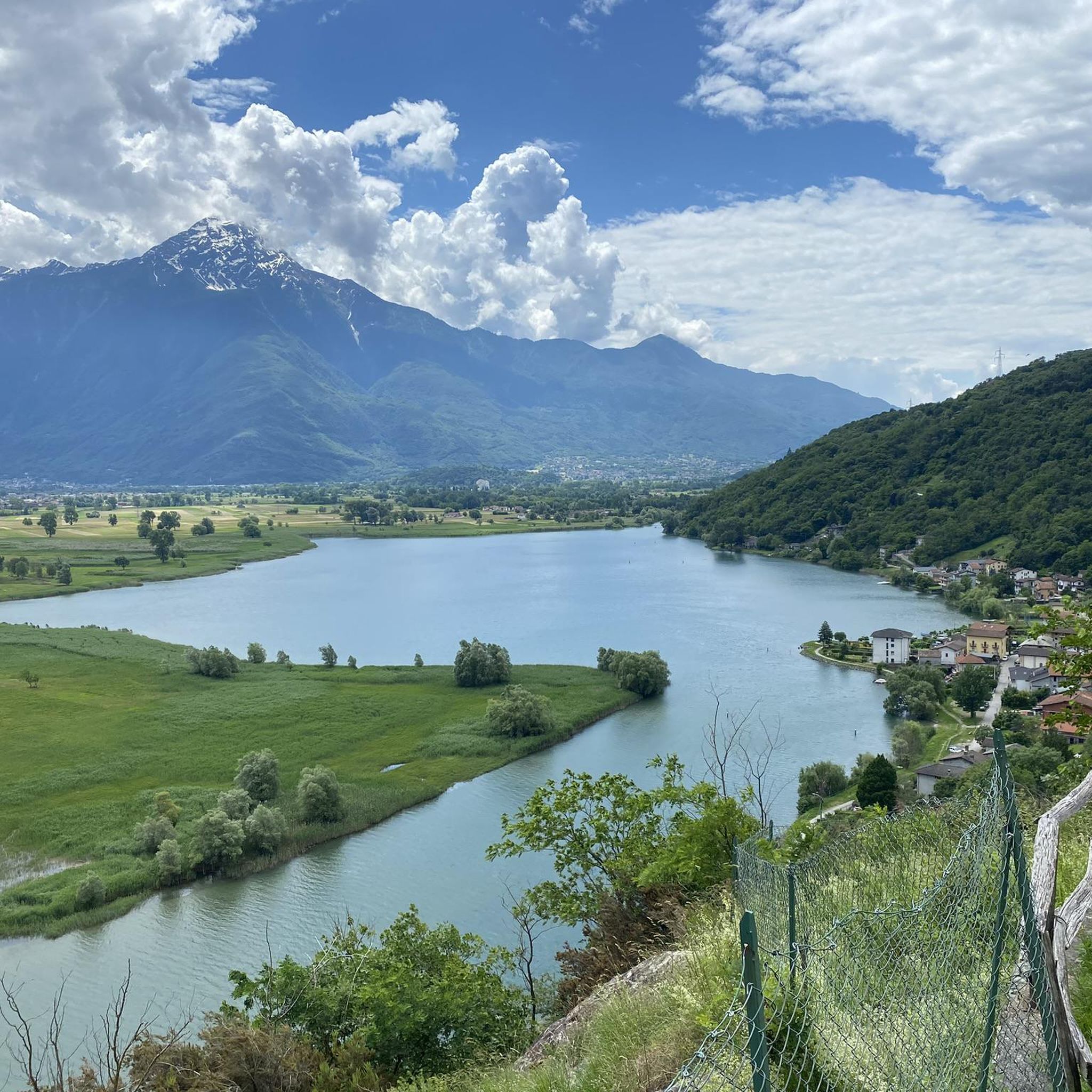
Mountaineering routes around Lago di Mezzola are set against the dramatic backdrop of the Alps, offering diverse terrain for outdoor enthusiasts. The region features towering peaks, steep granite walls, and impressive rock faces, particularly on the west and east banks of the lake. Valleys like Val Codera and Valle dei Ratti provide remote, unspoiled mountainous landscapes. This area serves as a gateway to the Valchiavenna region, further enriching the experience with alpine vistas.
Best mountaineering routes around Lago di Mezzola
…Last updated: July 4, 2026
5.0
(1)
3
hikers
12.3km
05:44
980m
980m
Hard mountaineering route. Very good fitness required. Mostly accessible paths. Sure-footedness required.
6
hikers
7.51km
03:34
630m
620m
Moderate mountaineering route. Good fitness required. Mostly accessible paths. Sure-footedness required.

Sign up for free
3
hikers
Moderate mountaineering route. Good fitness required. Easily-accessible paths. Suitable for all skill levels.
4
hikers
15.6km
05:13
640m
640m
Hard mountaineering route. Very good fitness required. Mostly accessible paths. Sure-footedness required.
5
hikers
10.6km
03:39
460m
460m
Moderate mountaineering route. Good fitness required. Mostly accessible paths. Sure-footedness required.
Our route recommendations are based on thousands of hikes, rides, and runs completed by other people on komoot.
Start today with a free account
Your next adventure awaits.
Login or Signup

Tips from the Community

Narrow little stone bridge in the old town center
1
0

The same church is located right next to the parking lot. From there, you have a breathtaking view of Lake Como.
0
0

Lovely walk along the lake on a beautiful road with many campsites and terraces, very cozy and tasty aperol🙈🇮🇹🇮🇹
0
0


Wonderful day, wonderful view
0
0

This beautiful cycle and pedestrian path is located between the mouth of the Livo stream in Lake Como and the center of the village of Domaso. It is pleasant to walk or cycle here and the beach is always present, as are the splendid views of the northern part of the lake.
0
0
Frequently Asked Questions
What kind of mountaineering routes can I expect around Lago di Mezzola?
The Lago di Mezzola region offers a variety of mountaineering routes, ranging from moderate paths to challenging high-alpine ascents. You'll find majestic alpine peaks, steep granite walls, and remote valleys. The area is framed by impressive mountain ranges like the Lepontine Alps to the west and the Rhaetian Alps to the east, providing diverse terrain.
Are there mountaineering routes suitable for beginners or those looking for a moderate challenge?
Yes, there are routes suitable for various ability levels. The komoot community has identified 5 moderate mountaineering routes in the area. For example, the Along the Shepherd's Path – Historic Village of Livo loop from Domaso is a moderate option, offering a good balance of challenge and scenic views.
What are some of the more challenging mountaineering routes in the Lago di Mezzola area?
For experienced mountaineers, the region offers several difficult routes. The San Giorgio di Cola loop from Verceia is a demanding 7.6-mile (12.2 km) trail with over 3,200 feet of elevation gain. Another challenging option is the View of Sasso Bianco – Alpe di Mezzo loop from Montemezzo, which features significant elevation changes and panoramic views.
Are there any unique or particularly scenic routes that lead to special places?
Yes, the Behind the Waterfall – Village of Codera loop from Novate Mezzola is a notable route. It leads to the pristine mountain village of Codera, which is unique because it's only accessible by foot, offering a truly remote and unspoiled experience in Val Codera.
What natural features or landmarks can I see along the mountaineering routes around Lago di Mezzola?
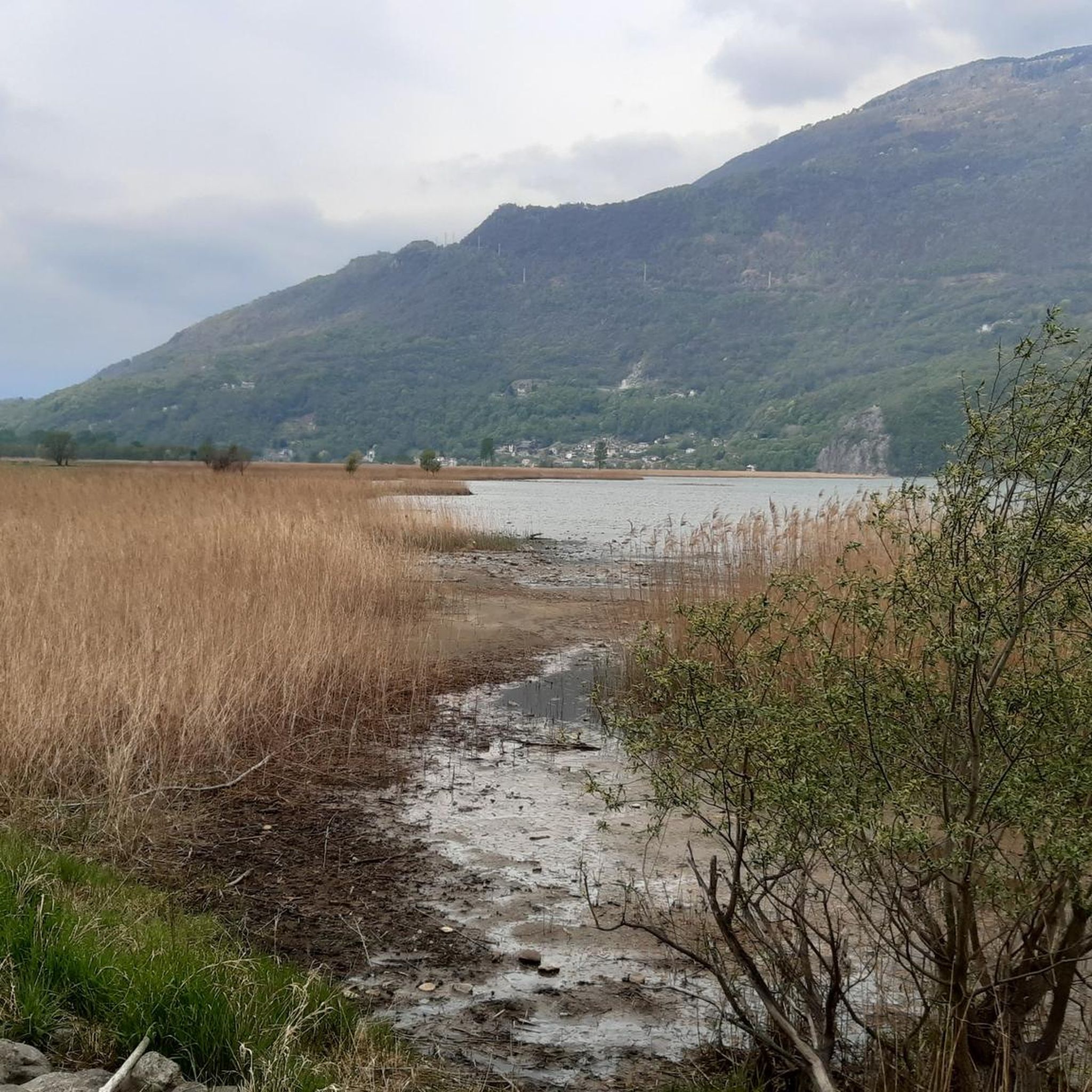
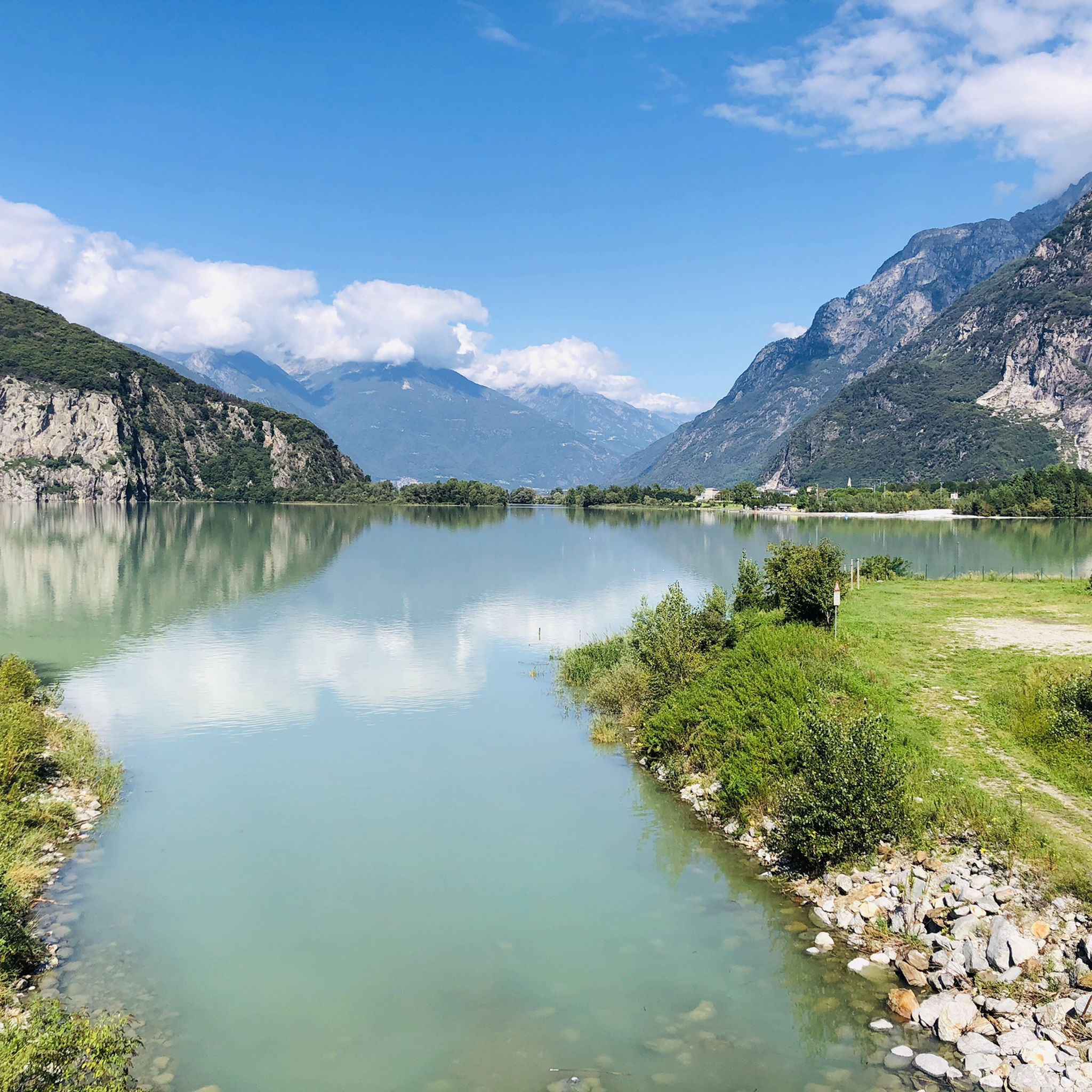
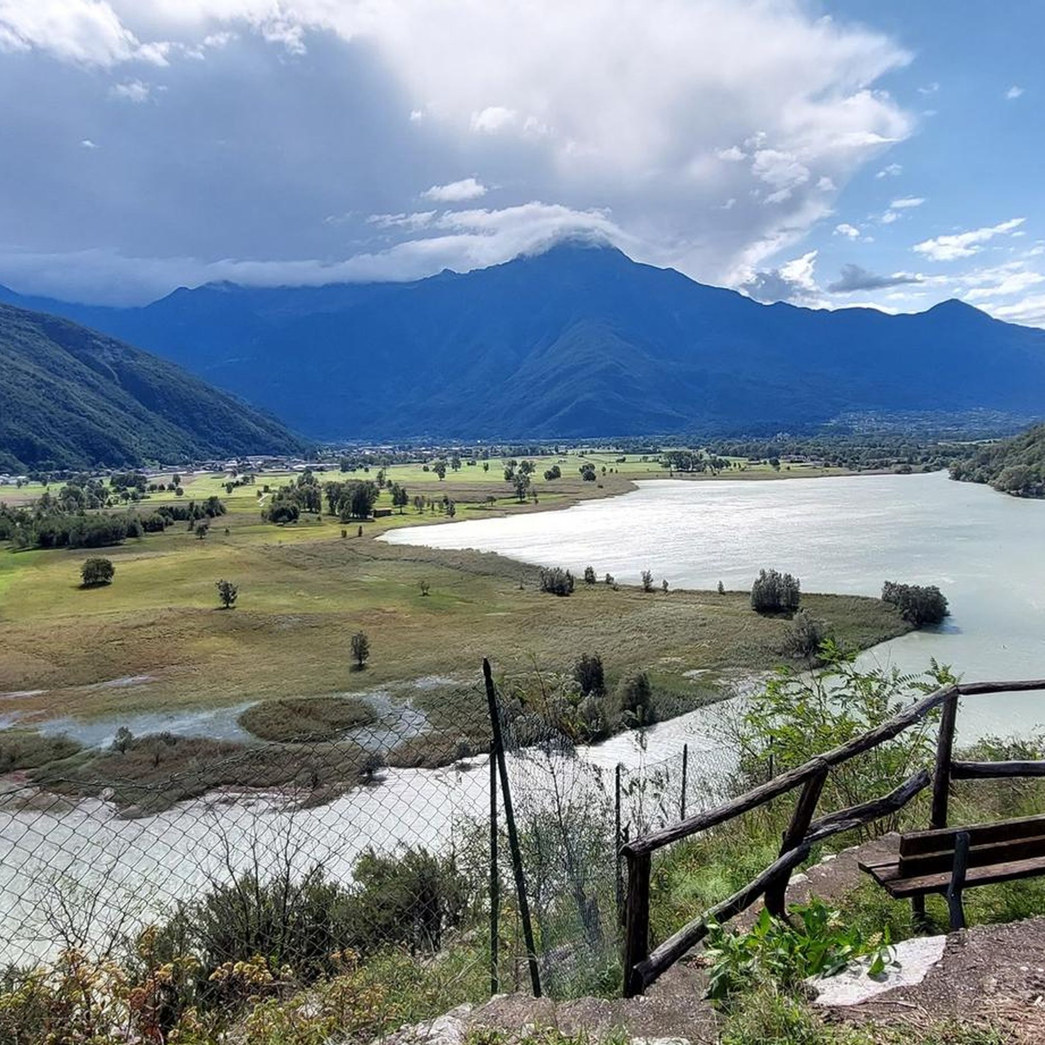
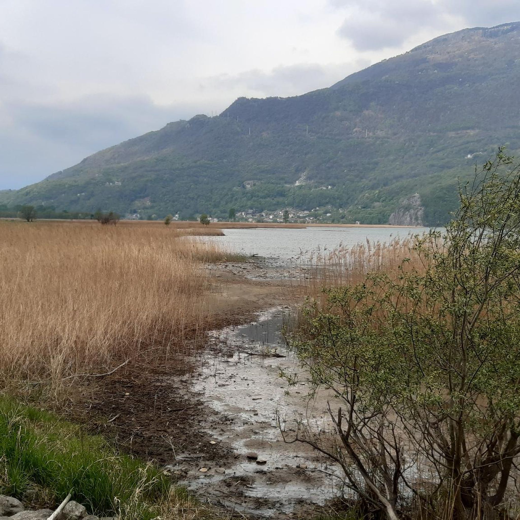
Many routes offer stunning views of the emerald-green Lake Mezzola itself. You might also encounter viewpoints overlooking the Pian di Spagna Nature Reserve, a significant wetland area known for its diverse habitats. The region is rich in natural beauty, with lush mountains and clear waters.
Are there any historical sites or points of interest near the mountaineering trails?
Yes, the area boasts historical gems. For instance, the San Fedelino Chapel, a small Romanesque temple dating back to around 1000 AD, is located near the mouth of the Mera river into Lake Mezzola. You can also find charming villages within the Valchiavenna region, which the area serves as a gateway to.
When is the best time of year for mountaineering around Lago di Mezzola?
The best time for mountaineering around Lago di Mezzola is typically during the warmer months, from late spring through early autumn (May to October), when trails are generally clear of snow and weather conditions are more stable. High-alpine routes might be best in mid-summer.
Are there any circular mountaineering routes available?
Yes, many of the mountaineering routes around Lago di Mezzola are designed as loops. Examples include the View of Valtellina Valley loop from Montemezzo and the San Giorgio di Cola loop from Verceia, allowing you to start and end at the same point.
What do other mountaineers say about the routes in Lago di Mezzola?
The mountaineering routes in Lago di Mezzola are highly rated by the komoot community, with an average score of 4.9 stars from over 10 reviews. Mountaineers often praise the dramatic alpine scenery, the challenging yet rewarding terrain, and the sense of tranquility found in the remote valleys.
Is public transport available to reach the trailheads for mountaineering routes?
While specific public transport details for each trailhead vary, the Lago di Mezzola region is generally accessible. It's advisable to check local bus or train schedules to nearby towns like Novate Mezzola or Verceia, which serve as starting points for several routes. From there, some trailheads might require a short walk or taxi.
Are there any family-friendly mountaineering options, or routes suitable for children?
While many mountaineering routes in this region are challenging, some of the moderate trails might be suitable for older children with good fitness and mountain experience. Always check the route's difficulty, length, and elevation gain before setting out with family. The region also offers easier walking and cycling paths for a less strenuous outdoor experience.
Most popular routes around Lago di Mezzola
Most popular attractions around Lago di Mezzola

Get inspired with the komoot mobile app


Explore more
Browse the best Mountain Hikes & Routes in other regions.
