The best walks and hikes around Lake dell'Ingagna
4.5
(2284)
11,374
hikers
419
hikes
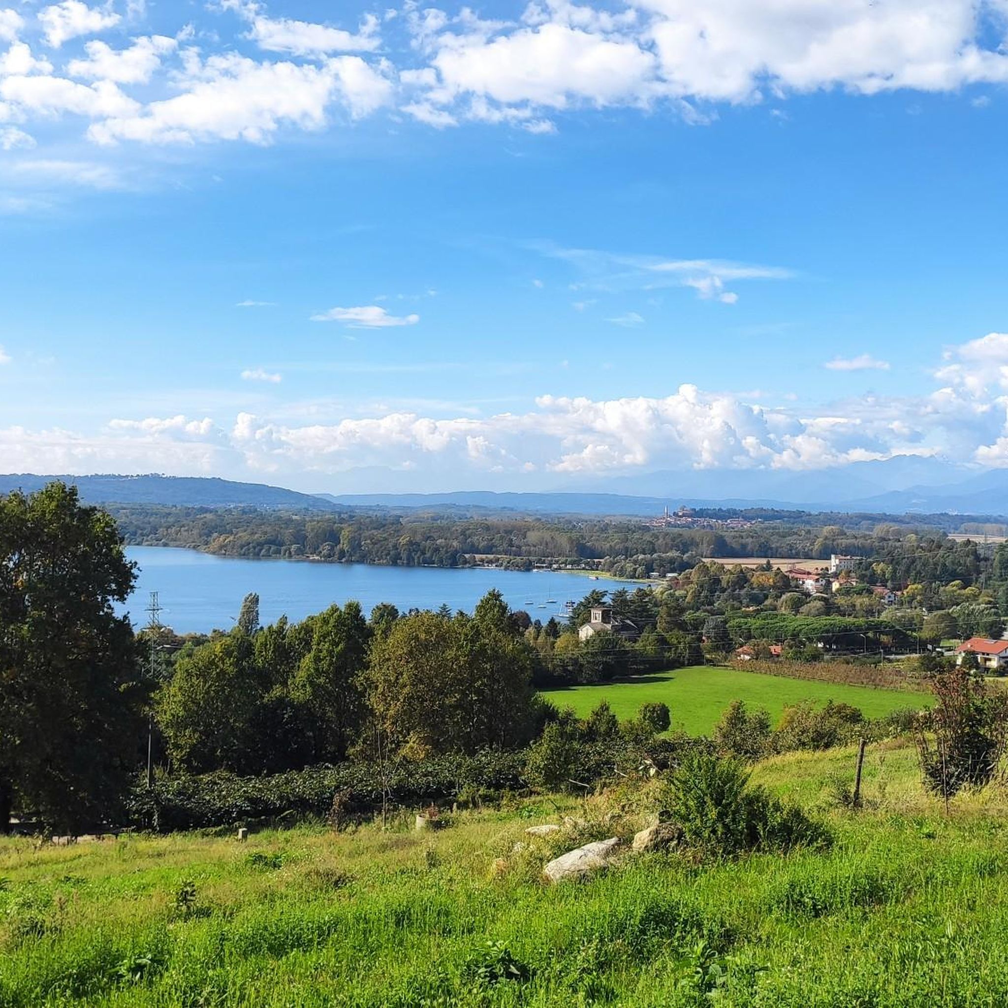
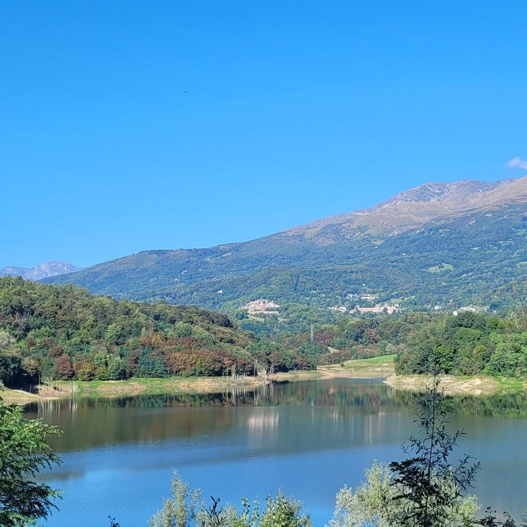
Hiking around Lake dell'Ingagna offers diverse trails set against the backdrop of the Biella Alps. The region features a mix of dense vegetation, meadows, and undulating terrain, providing varied environments for outdoor activities. The artificial lake, formed by a 56-meter-high dam on the Ingagna stream, is a central feature of the landscape. Hikers can explore paths ranging from shaded areas to open routes with expansive views.
Best hiking trails around Lake dell'Ingagna
- The most popular hiking route is San Michele…
Last updated: June 25, 2026
7
hikers
4.43km
01:14
90m
90m
Easy hike. Great for any fitness level. Easily-accessible paths. Suitable for all skill levels.
4.5
(4)
10
hikers
8.73km
02:27
180m
180m
Moderate hike. Good fitness required. Easily-accessible paths. Suitable for all skill levels.

Sign up for free
3.5
(2)
8
hikers
6.26km
01:49
170m
170m
Easy hike. Great for any fitness level. Easily-accessible paths. Suitable for all skill levels.
4.8
(8)
20
hikers
8.42km
02:34
290m
290m
Hike the moderate 5.2-mile Netro to Graglia Sanctuary Pilgrimage Trail (via B16) through green hills to a historic sanctuary.
5.0
(1)
3
hikers
14.5km
06:23
1,110m
1,110m
Alpine loop through Biellese forests with stunning Monviso views from Alpe Nicoletto.
Get access to more routes and recommendations from other explorers.
Sign up for free
Already have an account?
Our route recommendations are based on thousands of hikes, rides, and runs completed by other people on komoot.
Start today with a free account
Your next adventure awaits.
Login or Signup

Tips from the Community

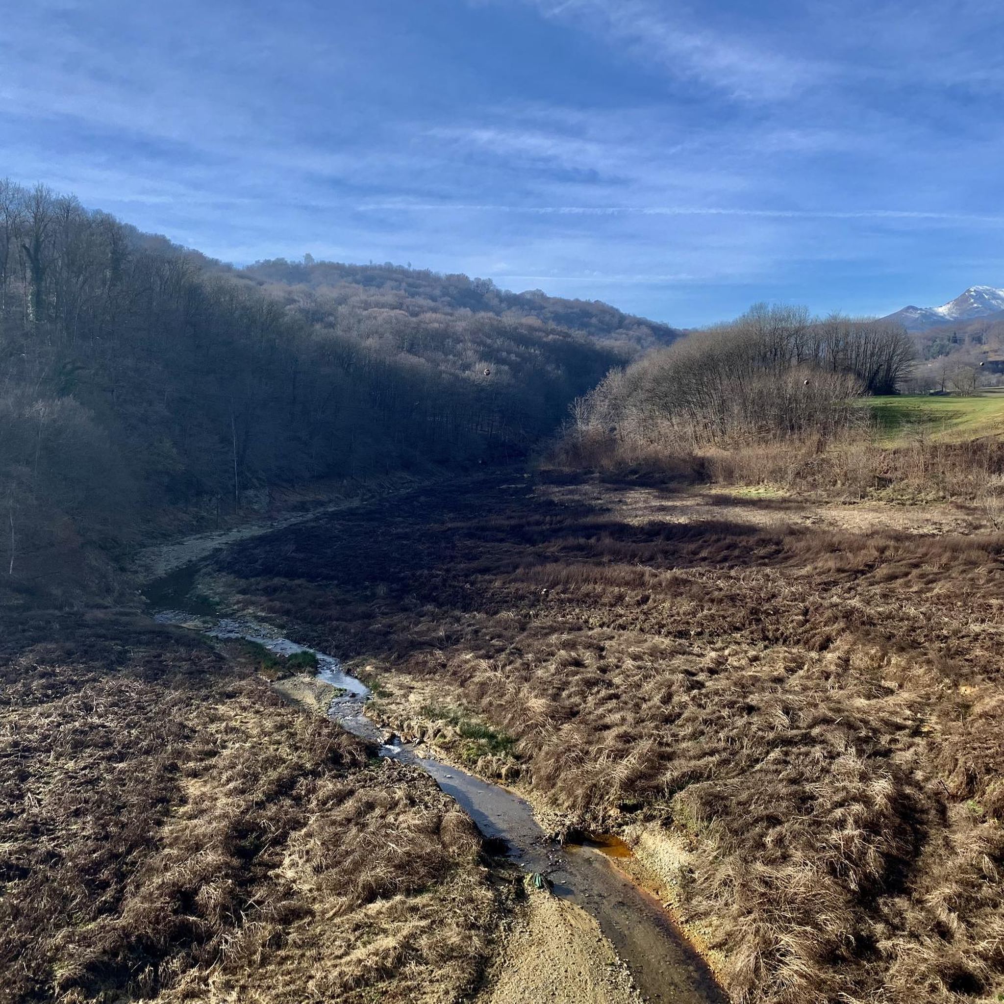
cycle/pedestrian walkway over the Ingagna stream
0
2

Interesting and panoramic passage for cyclists and walkers on the Ingagna stream
3
0

Beautiful panorama towards Monviso, from Alpe Nicoletto
0
0


pay attention to the blocked road at the dam
0
2
interesting and panoramic passage only by cycle and pedestrian on the Ingagna stream, with its large artificial dam. ATTENTION! the road that runs alongside the dam (coming from Netro) is closed (June 2022 - block unfortunately not reported in advance) at the dam, therefore it is necessary immediately after the bridge, do not turn left but continue on the path forward for about ten meters and take the smaller uphill path always left (easy path for MTB easily identifiable) to reconnect after a few km on the provincial road to Mongrando and continue the tour.
0
2
Frequently Asked Questions
How many hiking trails are there around Lake dell'Ingagna, and what are their difficulty levels?
The Lake dell'Ingagna area offers a wide variety of hiking opportunities, with over 400 routes available. These cater to all skill levels, including approximately 120 easy trails, over 230 moderate routes, and around 60 more challenging options for experienced hikers.
Are there family-friendly hiking trails around Lake dell'Ingagna?
Yes, there are several family-friendly options. Many easy routes feature gentle elevation gains and shorter distances, perfect for a leisurely outing. For example, the San Michele Fountain loop from San Michele is an easy 4.4 km trail with minimal elevation, suitable for most families.
Can I bring my dog on the hiking trails near Lake dell'Ingagna?
Many trails around Lake dell'Ingagna are suitable for dogs, offering varied terrain from shaded paths to open meadows. It's always recommended to keep your dog on a leash, especially in areas with wildlife or near livestock, and to check for any specific local regulations regarding pets on trails.
What natural features or landmarks can I see while hiking around Lake dell'Ingagna?
Hikers can enjoy panoramic views of the Biella Alps, the artificial lake itself, and the impressive 56-meter-high dam on the Ingagna stream. Trails also lead through dense vegetation, meadows, and past charming localities like Vagliumina and Colla di Netro, where you might discover an abandoned bridge or the chapel of San Rocco.
Are there circular hiking routes around Lake dell'Ingagna?
Yes, many of the trails around Lake dell'Ingagna are designed as circular routes, allowing you to start and end at the same point without retracing your steps. An example is the Colla di Netro Village – Ingagna Reservoir Bridge loop from Netro, which takes you through local villages and past the reservoir bridge.
What is the best time of year to go hiking around Lake dell'Ingagna?
The area is beautiful for hiking from spring through autumn. Spring brings lush greenery and wildflowers, while autumn offers vibrant foliage. Summer is also popular, but it's advisable to start early to avoid the midday heat. Winter hiking is possible, but some trails might be challenging due to snow and ice, especially at higher elevations in the Biella Alps.
Are there any challenging hikes for experienced trekkers?
Yes, for those seeking a more strenuous adventure, there are approximately 60 difficult routes. The Netro Alpine Loop with Monviso Views is a challenging 14.5 km route with over 1100 meters of elevation gain, offering extensive views and a demanding experience.
What kind of terrain can I expect on the hiking trails around Lake dell'Ingagna?
The terrain is quite varied, ranging from dense woodlands and shaded paths to open meadows and undulating hills. You'll find a mix of well-trodden paths, gravel tracks, and some steeper, rockier sections, especially on more challenging routes that ascend into the Biella Alps.
What do other hikers enjoy most about the trails around Lake dell'Ingagna?
The trails around Lake dell'Ingagna are highly rated by the komoot community, with an average score of 4.5 stars from over 2,100 reviews. Hikers often praise the stunning panoramic views of the Biella Alps, the tranquil beauty of the lake, and the diverse range of paths that cater to different fitness levels.
Are there options for longer, more extensive hikes in the area?
Absolutely. Beyond the shorter loops, you can find longer routes that allow for more extensive exploration. For instance, the St. Charles Path to Graglia Sanctuary is an 8.4 km moderate hike that offers a longer journey through the landscape with significant elevation changes.
Is there parking available for hikers at Lake dell'Ingagna trailheads?
While specific parking areas are not detailed for every trailhead, it is generally possible to find parking in or near the villages surrounding Lake dell'Ingagna, such as Mongrando or Netro, which serve as common starting points for many routes. Look for designated parking zones or consult local signage.
How can I reach the Lake dell'Ingagna hiking trails by public transport?
Public transport options to the immediate trailheads around Lake dell'Ingagna may be limited. It's advisable to check local bus schedules for services to nearby towns like Mongrando or Netro. From these points, you might need to walk or arrange for local transport to reach specific starting points.
Most popular routes around Lake dell'Ingagna

Get inspired with the komoot mobile app


Explore more
Browse the best Hikes in other regions.
